The best road cycling routes around Contrafforte Pliocenico
4.4
(327)
6,417
riders
123
rides
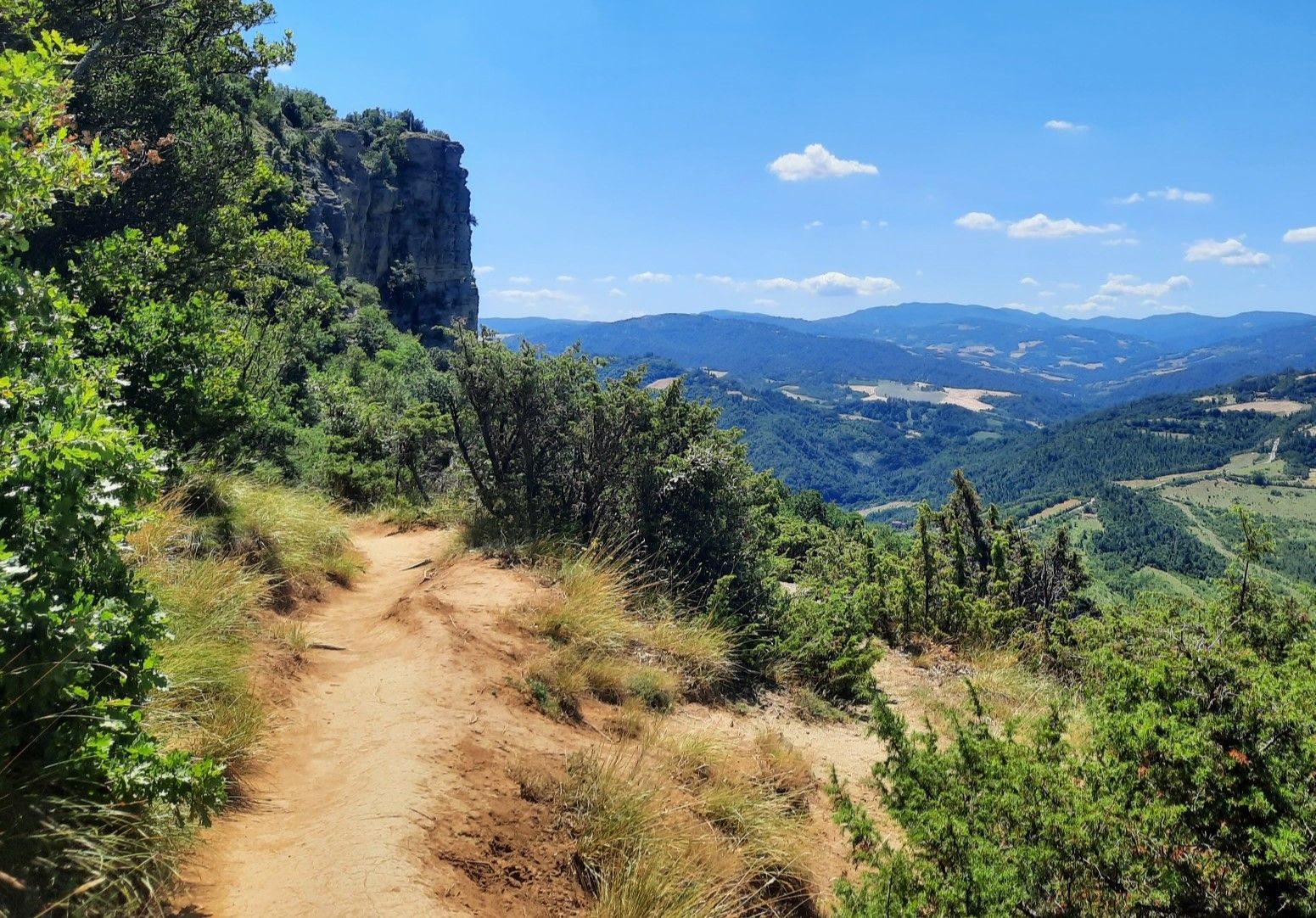
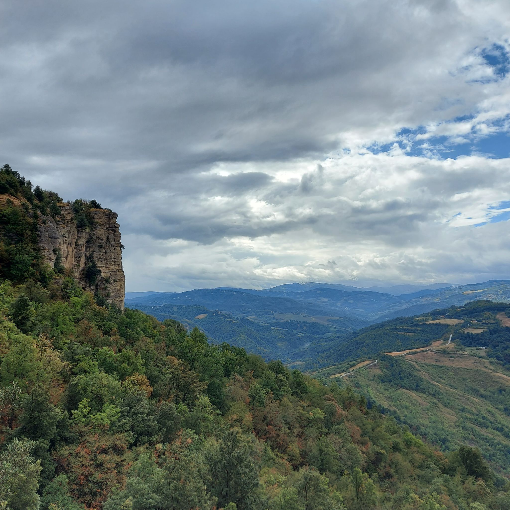
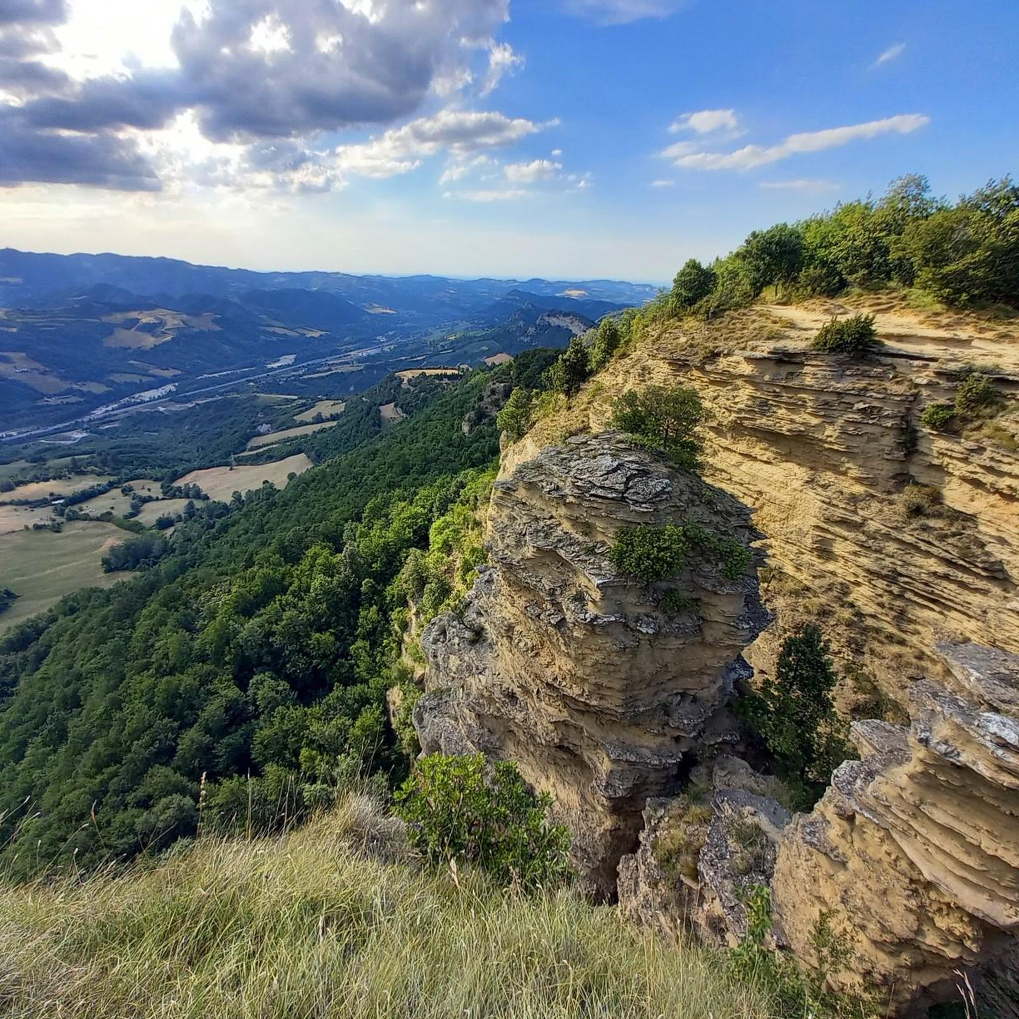
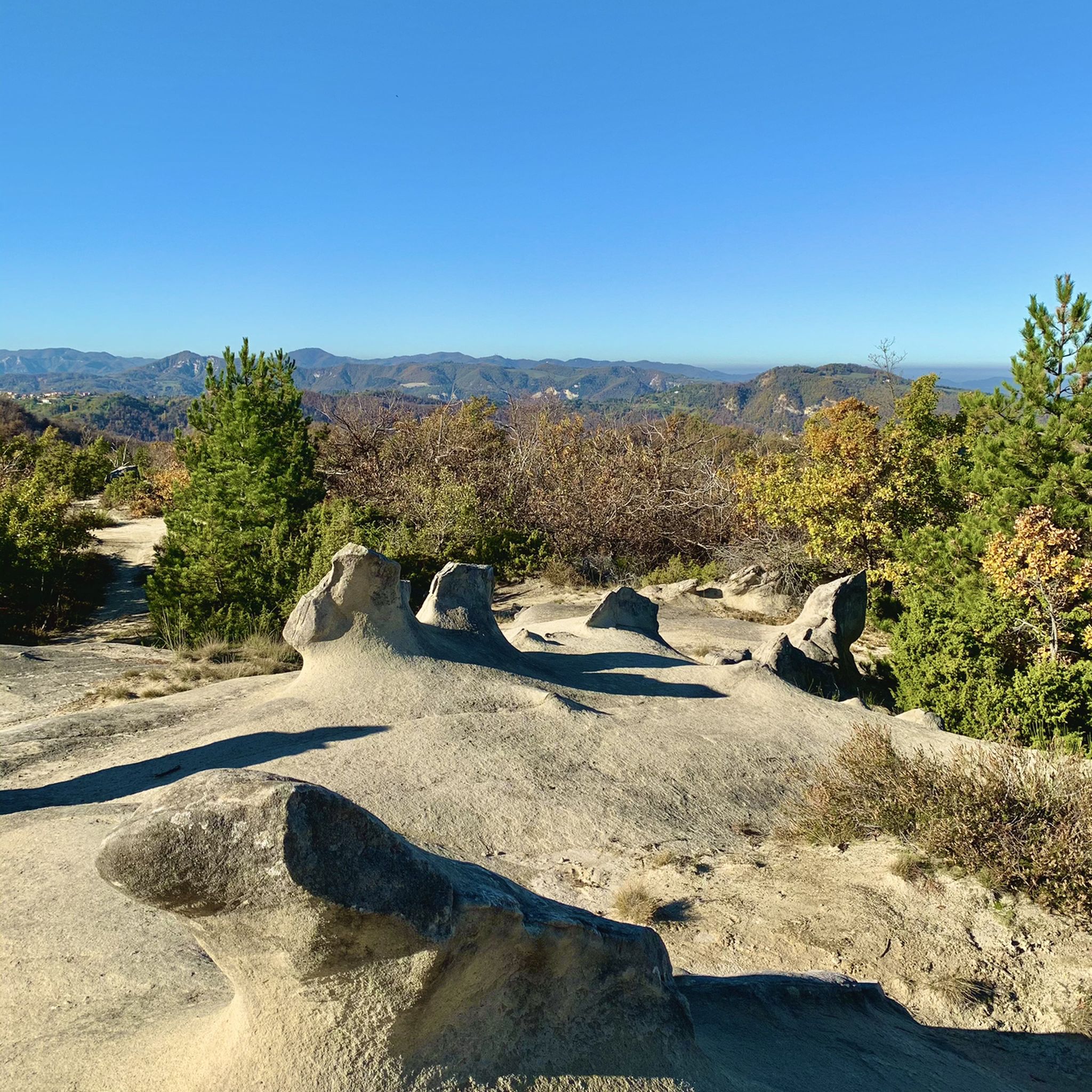
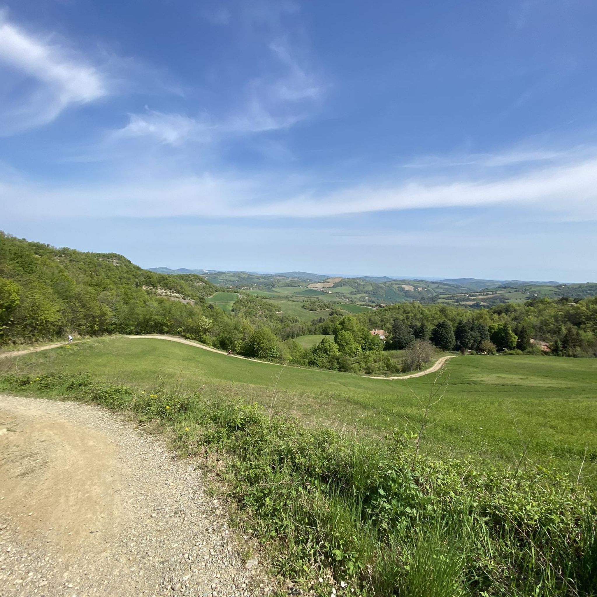
Road cycling routes around Contrafforte Pliocenico traverse a regional nature reserve characterized by striking sandstone cliffs and diverse landscapes. Located near Bologna, this area features a succession of hills and valleys, with prominent peaks like Monte Adone (655m) and Monte delle Formiche (638m). The terrain includes narrow asphalted roads winding along panoramic ridges and through shaded forests, offering varied cycling experiences. These geological formations, remnants of a Pliocene-era sea, provide a unique backdrop for road cyclists.
Best road cycling routes…
Last updated: July 1, 2026
5.0
(1)
27
riders
48.7km
02:46
1,090m
1,090m
Hard road ride. Very good fitness required. Mostly well-paved surfaces and easy to ride.
2.3
(3)
23
riders
43.9km
02:26
960m
960m
Hard road ride. Very good fitness required. Mostly well-paved surfaces and easy to ride.

Sign up for free
17
riders
49.2km
02:35
910m
910m
Hard road ride. Very good fitness required. Mostly well-paved surfaces and easy to ride.
7
riders
33.3km
01:54
770m
770m
Moderate road ride. Good fitness required. Mostly well-paved surfaces and easy to ride.
4.6
(5)
37
riders
70.4km
03:31
1,120m
1,120m
Hard road ride. Very good fitness required. Mostly well-paved surfaces and easy to ride.
Get access to more routes and recommendations from other explorers.
Sign up for free
Already have an account?
Our route recommendations are based on thousands of hikes, rides, and runs completed by other people on komoot.
Start today with a free account
Your next adventure awaits.
Login or Signup
Popular around Contrafforte Pliocenico

Other adventures around Contrafforte Pliocenico

Tips from the Community


The small center of Monzuno is perfect for a break on the second stage of the Via degli Dei. Here you can strengthen yourself in a café or restaurant, get a snack in a small supermarket, or refill your water at the drinking fountain.
1
0

The best tortelloni in the province of Bologna, with full flavor
0
0

Small village with bars and grocery stores for refreshments and rest along the way
0
0

Loiano, located on the Tuscan-Emilian Apennines, is a municipality in the metropolitan city of Bologna. Among the most valuable buildings, the Church of Saints Giacomo and Margherita stands out. Also famous is the historic Locanda Corona, a place of important negotiations and a stopover for Goethe in 1786.
0
0

Sanctuary of the Madonna del Sasso The history of the Sanctuary of the Madonna del Sasso begins in 1283 when friar Giovanni da Panico dedicated a small oratory to the Virgin Mary in a cavity of the nearby Rupe, called Sasso di Glòsina. In 1787 the Sanctuary was closed due to the detachment of a large layer of sandstone. In 1831 the new sanctuary was rebuilt based on a design by Angelo Venturoli. The new façade, with a portico with three arches, is set back on the same level as the bell tower and the municipal clock tower, added in 1888 by the engineer Tito Azzolini. Destroyed by Allied bombing in April 1945; in 1950 the reconstruction based on a design by the engineer Paolo Graziani was concluded. The interior, with a single barrel-vaulted nave and three chapels on each side, houses the Madonna del Carmine with Saints within a sumptuous frame, dated 1674, and the Madonna Enthroned with Angels and Saints of the Neapolitan school (1734). The apse is decorated with a modern polychrome stained glass window with the Madonna and Child and a depiction of the church.
0
0

Loiano is a municipality of approximately 4,500 inhabitants in the province of Bologna, located in the Tuscan-Emilian Apennines along the Futa state road 65, approximately 35 kilometers south of Bologna and 73 kilometers north of Florence. Worthy of note is the Church of San Giacomo and Santa Margherita, a 14th century building built by the Augustinians.
1
0

Monghidoro is located at 841 meters above sea level. The writer Giordano Berti described it as the "crossroads of Europe" due to its geographical position between the Po Valley and central Italy. The territory of Monghidoro is an area of naturalistic interest, many paths for walking or cycling on the Alpe di Monghidoro start from here. All necessities can be found in the town as it is a point of reference for many walkers and cyclists.
4
0
Frequently Asked Questions
How many road cycling routes are available in Contrafforte Pliocenico?
There are over 130 road cycling routes in the Contrafforte Pliocenico region, catering to various skill levels. You'll find a mix of easy, moderate, and difficult routes, with 16 easy, 59 moderate, and 55 difficult options.
What kind of terrain can I expect on road cycling routes in Contrafforte Pliocenico?
The terrain in Contrafforte Pliocenico is characterized by varied topography, including a succession of hills and valleys. You'll primarily ride on narrow, suggestive asphalted roads that wind along panoramic ridges and through shaded forests. Expect challenging climbs and scenic descents, offering a diverse experience.
Are there any family-friendly road cycling routes in Contrafforte Pliocenico?
While many routes feature significant elevation gain, there are 16 routes classified as 'easy' within Contrafforte Pliocenico. These routes generally have less demanding climbs and descents, making them more suitable for families or those seeking a more relaxed ride. Look for routes with lower elevation profiles for a family-friendly experience.
What are some notable landmarks or viewpoints I can see while road cycling in Contrafforte Pliocenico?
The region is rich in geological and natural landmarks. You can encounter striking sandstone cliffs and prominent peaks. Highlights include the Monte Adone summit, the Sanctuary of Santa Maria di Zena (Monte delle Formiche), and the dramatic Monte Adone Cliffside. These offer breathtaking views of the ancient Pliocene-era seabed landscape.
What is the best time of year to go road cycling in Contrafforte Pliocenico?
The varied topography and natural beauty of Contrafforte Pliocenico can be enjoyed across multiple seasons. Spring and autumn generally offer the most pleasant temperatures for cycling, with vibrant foliage or blooming wildflowers. Summer can be warm, but shaded forest sections provide relief. Winter cycling is possible, but be mindful of potentially colder temperatures and road conditions on higher elevations.
What makes road cycling in Contrafforte Pliocenico unique?
Road cycling in Contrafforte Pliocenico offers a unique blend of challenging ascents and descents through an 'open-air geological museum.' You'll pedal past striking sandstone cliffs, remnants of a Pliocene-era sea, and through diverse ecosystems. The combination of geological marvels, rich biodiversity, and a network of scenic asphalted roads creates a truly distinctive cycling experience.
Are there any circular road cycling routes in the area?
Yes, many of the road cycling routes in Contrafforte Pliocenico are designed as loops, allowing you to start and finish at the same point. Examples include the Lake Castel dell'Alpi – Loiano loop from Scascoli and the Montefredente Pass – Monzuno Town Center loop from Vado. These circular routes are ideal for exploring the region without needing to retrace your path.
What are the difficulty levels for road cycling routes in Contrafforte Pliocenico?
Road cycling routes in Contrafforte Pliocenico range from easy to difficult. You'll find 16 easy routes, 59 moderate routes, and 55 difficult routes. The difficult routes, such as the Rioveggio Bridge – Monzuno Town Center loop from Vado, often feature significant elevation gain and challenging climbs, while easier options offer a more gentle ride through the landscape.
Can I access Contrafforte Pliocenico cycling routes using public transport?
Contrafforte Pliocenico is located about 20 kilometers from Bologna, and some local towns within or near the reserve may be accessible by public transport. However, specific information regarding bike transport on public services should be verified with local transport providers, as policies can vary. Planning your route to start from a town with good public transport links is advisable.
What do other road cyclists say about their experience in Contrafforte Pliocenico?
The road cycling routes in Contrafforte Pliocenico are highly rated by the komoot community, with an average score of 4.4 stars from over 290 reviews. Cyclists often praise the challenging yet rewarding climbs, the stunning panoramic views of the geological formations, and the quiet, scenic asphalted roads that wind through the diverse landscape.
Are there any specific permits required for road cycling in Contrafforte Pliocenico?
Contrafforte Pliocenico is a regional nature reserve. Generally, road cycling on designated public roads within such reserves does not require special permits. However, it's always good practice to respect local regulations and signage, especially concerning protected areas. There are no specific permits mentioned for general road cycling in the provided information.
Are there cafes or accommodation options along the road cycling routes?
While the region is known for its natural beauty, the narrow asphalted roads connect local towns and villages. These settlements often provide opportunities for cafes, restaurants, and accommodation. Planning your route to pass through these towns will allow for convenient stops to refuel and rest.
Is Contrafforte Pliocenico suitable for road cyclists looking for significant elevation gain?
Absolutely. Contrafforte Pliocenico is defined by its hilly topography and prominent peaks, making it an excellent destination for road cyclists seeking significant elevation gain. Many routes, including the From Sasso Marconi to Monteacuto Vallese — ring tour in the Regional Park of Monte Sole, feature over 1000 meters of climbing, providing a challenging workout amidst stunning scenery.
Most popular routes around Contrafforte Pliocenico
Most popular attractions around Contrafforte Pliocenico

Get inspired with the komoot mobile app


Explore more
Browse the best Road cycling routes in other regions.
