The best walks and hikes around Teverga
4.6
(96)
736
hikers
30
hikes
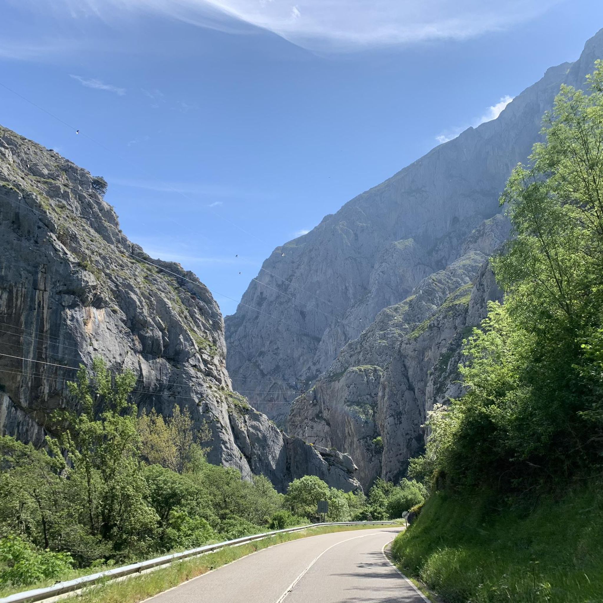
Hiking around Teverga provides access to the Asturian mountains, a region largely integrated into the Las Ubiñas-La Mesa Natural Park. The landscape is defined by mountainous terrain, featuring prominent limestone walls and peaks within the Cantabrian Mountains. Extensive forests of beeches and oaks cover over 60% of the area, alongside valleys and karst formations.
Best hiking trails in Teverga
- The most popular hiking route is Valdecerezales Gorge via the Bear Trail — circular from Entragu, a 6.0 miles (9.6…
Last updated: October 10, 2026
4.0
(10)
62
hikers
9.60km
03:33
260m
260m
Moderate hike. Good fitness required. Mostly accessible paths. Sure-footedness required.
4.3
(9)
36
hikers
Moderate hike. Good fitness required. Easily-accessible paths. Suitable for all skill levels.

4.7
(3)
25
hikers
14.4km
04:49
700m
690m
Moderate hike. Good fitness required. Easily-accessible paths. Suitable for all skill levels.
4.8
(9)
30
hikers
10.3km
03:07
350m
350m
Moderate hike. Good fitness required. Easily-accessible paths. Suitable for all skill levels.
5.0
(4)
20
hikers
8.46km
02:26
200m
200m
Moderate hike. Good fitness required. Mostly accessible paths. Sure-footedness required.
Get access to more routes and recommendations from other explorers.
Already have an account?
Our route recommendations are based on thousands of hikes, rides, and runs completed by other people on komoot.
Start today with a free account
Your next adventure awaits.
Other adventures around Teverga

Tips from the Community

A port that you can grab from any of its sides
0
0

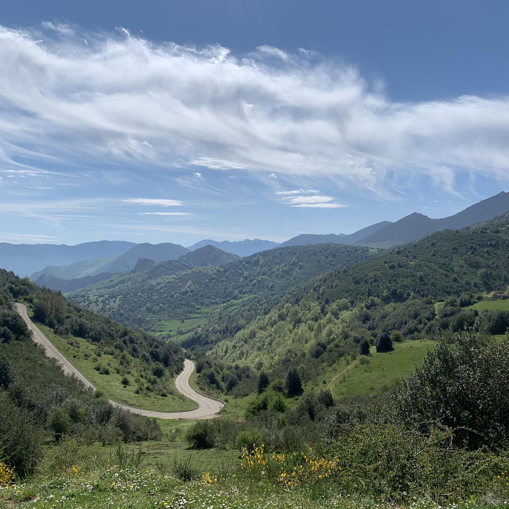
Puerto de Ventana is a mountain pass located in the Cantabrian Mountains, between the Principality of Asturias and the province of León. It lies at an altitude of 1,587 meters and connects the municipality of San Emiliano in León with the Asturian municipality of Teverga. From the pass, you can enjoy a breathtaking view of the San Emiliano Valley, known as Babia de Yuso.
2
0

It is a pasture area at the top of the Asturian mountain. In the surroundings there are brañas, palisades and a drinking fountain. On clear days the landscape is simply spectacular.
1
0
It is a set of traditional shepherds' huts. In this particular case, the "teitos" stand out, which are the type of local construction with a thatched roof. Around there are corrals or "corros" where the cattle can be collected. Apart from its ethnographic value, the complex is located in an incredible Asturian mountain landscape.
0
0

ideal place to spend the night, bring a bag and inflatable mat. Be careful with the stoves, the roofs are vegetal
0
0

In the area near the Michu rock (a path starts from here that allows you to climb the rock) you will find this sheepfold where the shepherds gathered the cattle. The name derives from the Roman cult of the god Jupiter.
1
0

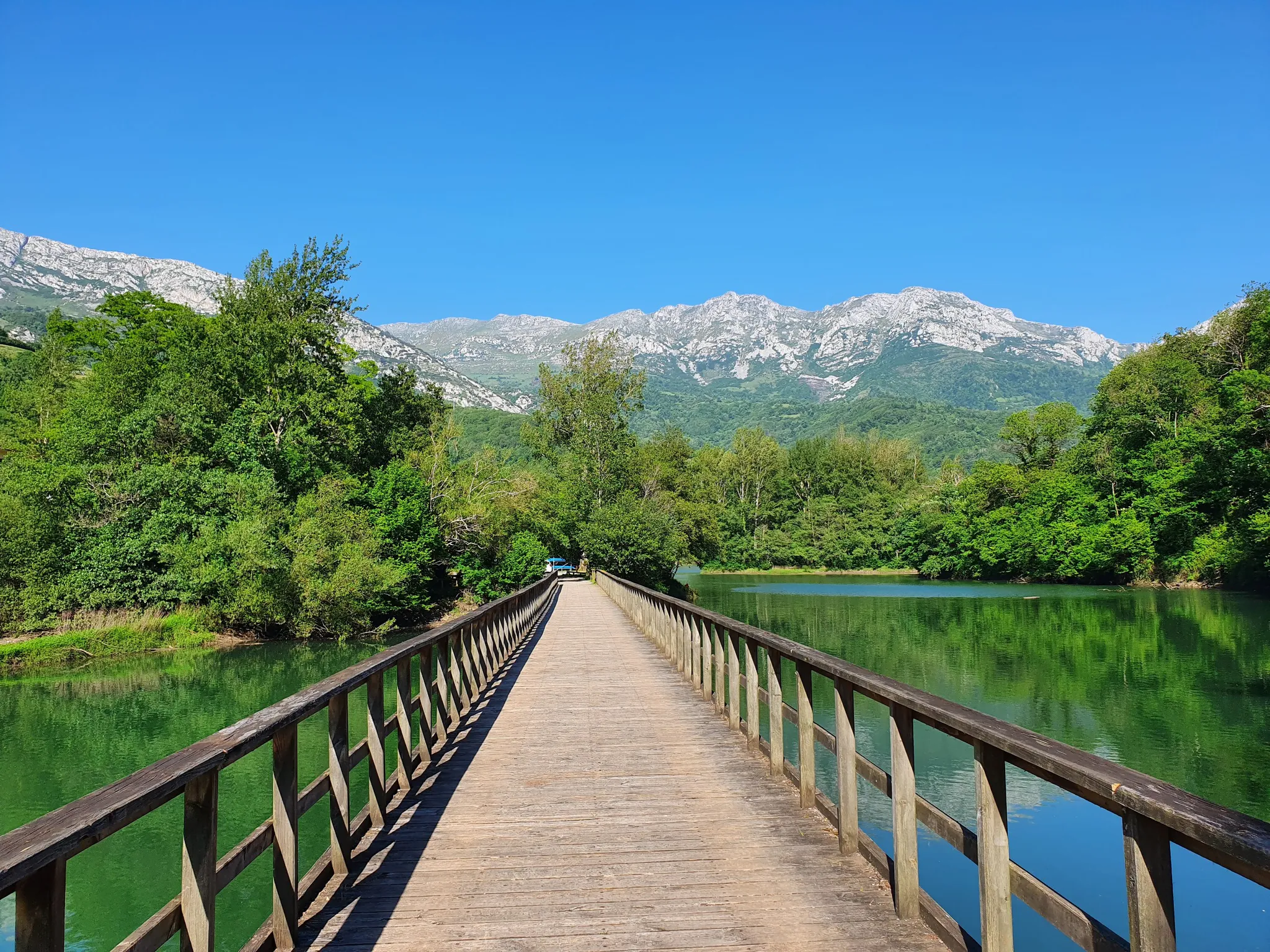
Path suitable for pedestrians that connects several towns along the Teverga River, close to the center of Entragu on its southern side.
0
0
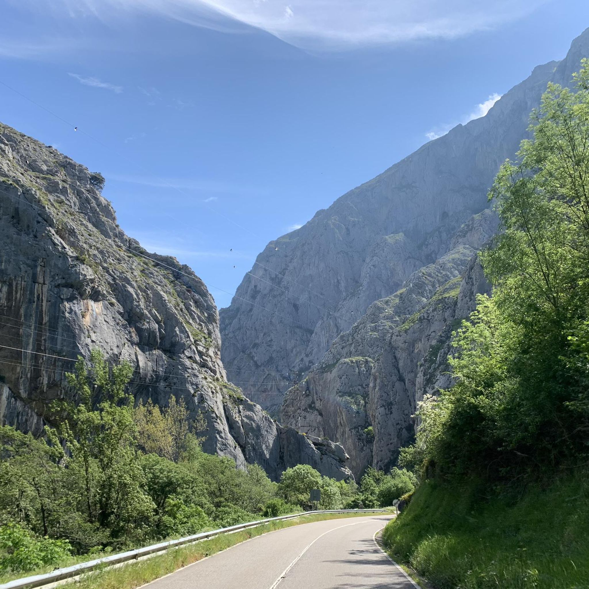
This is a path accessible on foot and by bike that is in the Desfiladero de Valdecerezales and that shows beautiful views of the gorge formed by the river.
1
0
Frequently Asked Questions
How many hiking trails are available in Teverga?
Teverga offers a diverse network of over 25 hiking trails, catering to various skill levels. You'll find everything from easy walks to more challenging ascents through the Asturian mountains.
What kind of terrain can I expect on hikes in Teverga?
Hiking in Teverga primarily involves mountainous terrain within the Cantabrian Mountains. You'll encounter ancient forests, particularly beech and oak woodlands, alongside significant karst features like those found in the Puertos de Marabio. Many trails offer impressive views of limestone walls and peaks.
Are there options for easy hikes in Teverga?
Yes, Teverga has several easy hiking options. For instance, the famous Senda del Oso (Bear Trail) is a popular, accessible route suitable for walking and cycling, often enjoyed by families. There are 3 routes specifically rated as easy in the area.
What is the best time of year to go hiking in Teverga?
The best time for hiking in Teverga is generally from spring through autumn. During these seasons, the weather is milder, and the natural landscapes, including the extensive forests, are at their most vibrant. Winter hiking is possible but may require specialized gear due to snow and colder conditions in higher elevations.
Can I see waterfalls on the hiking trails in Teverga?
Yes, you can discover beautiful waterfalls in Teverga. The Ruta del Hayedo de Montegrande and Cascada del Xiblu Trail, for example, leads you through a stunning beech forest to the impressive Cascada del Xiblu.
Are there any notable natural features or viewpoints to discover while hiking in Teverga?
Absolutely. Teverga is rich in natural beauty. You can hike to the San Lorenzo Pass for panoramic views of the Valdecarzana valley and the Sobia and La Mesa mountain ranges. The Valdecerezales Gorge is another notable natural feature. For unique geological formations, explore the karst area of Puertos de Marabio, which features numerous dolines and an extensive underground cave system, including the remarkable Cueva Huerta.
Are there family-friendly hiking options in Teverga?
Yes, Teverga offers several family-friendly hiking options. The Senda del Oso (Bear Trail) is particularly popular for families due to its accessible path along a disused mining railway. Many of the easier routes are also suitable for families with children.
Are dogs allowed on the hiking trails in Teverga?
Generally, dogs are welcome on hiking trails in Teverga, especially within the Las Ubiñas-La Mesa Natural Park. However, it's always recommended to keep them on a leash to protect local wildlife, particularly given the presence of species like brown bears, deer, and chamois. Always check specific trail regulations if available.
What do other hikers enjoy the most about hiking in Teverga?
The hiking routes in Teverga are highly rated by the komoot community, with an average score of 4.5 stars. Reviewers often praise the stunning natural beauty, the quiet woodlands, and the well-maintained paths that lead through diverse landscapes, from gorges to mountain passes.
Are there any circular hiking routes in Teverga?
Yes, Teverga features several excellent circular routes. A popular choice is the Valdecerezales Gorge via the Bear Trail — circular from Entragu. Another option is the Sierra de la Verde por Braña el Rebellón — circular desde el Puerto de San Lorenzo, offering beautiful views from the San Lorenzo Pass.
What historical trails can I explore in Teverga?
Teverga is home to historical routes, including the Camín Real de la Mesa Trail (GR 101). This ancient Roman road offers a moderate trek through the Parque Natural de Las Ubiñas-La Mesa, allowing you to walk in the footsteps of history.
Can I observe wildlife while hiking in Teverga?
Teverga is a fantastic area for wildlife observation, being one of the main reproduction centers for Cantabrian brown bears in Western Europe. Hikers might also spot capercaillie, deer, roe deer, chamois, wild boars, and various bird species, especially in the quieter forest areas and higher elevations.
Are there any cultural attractions near the hiking trails?
Beyond the natural beauty, Teverga offers cultural attractions. The Prehistoric Park of Teverga is a notable site, showcasing reproductions of famous cave paintings and featuring live Ice Age animals, providing an educational complement to your outdoor adventures.
Most popular attractions around Teverga

Get inspired with the komoot mobile app


Explore more
Browse the best Hikes in other regions.
