The best cycling routes around Yernes Y Tameza
4.8
(101)
1,359
riders
36
rides
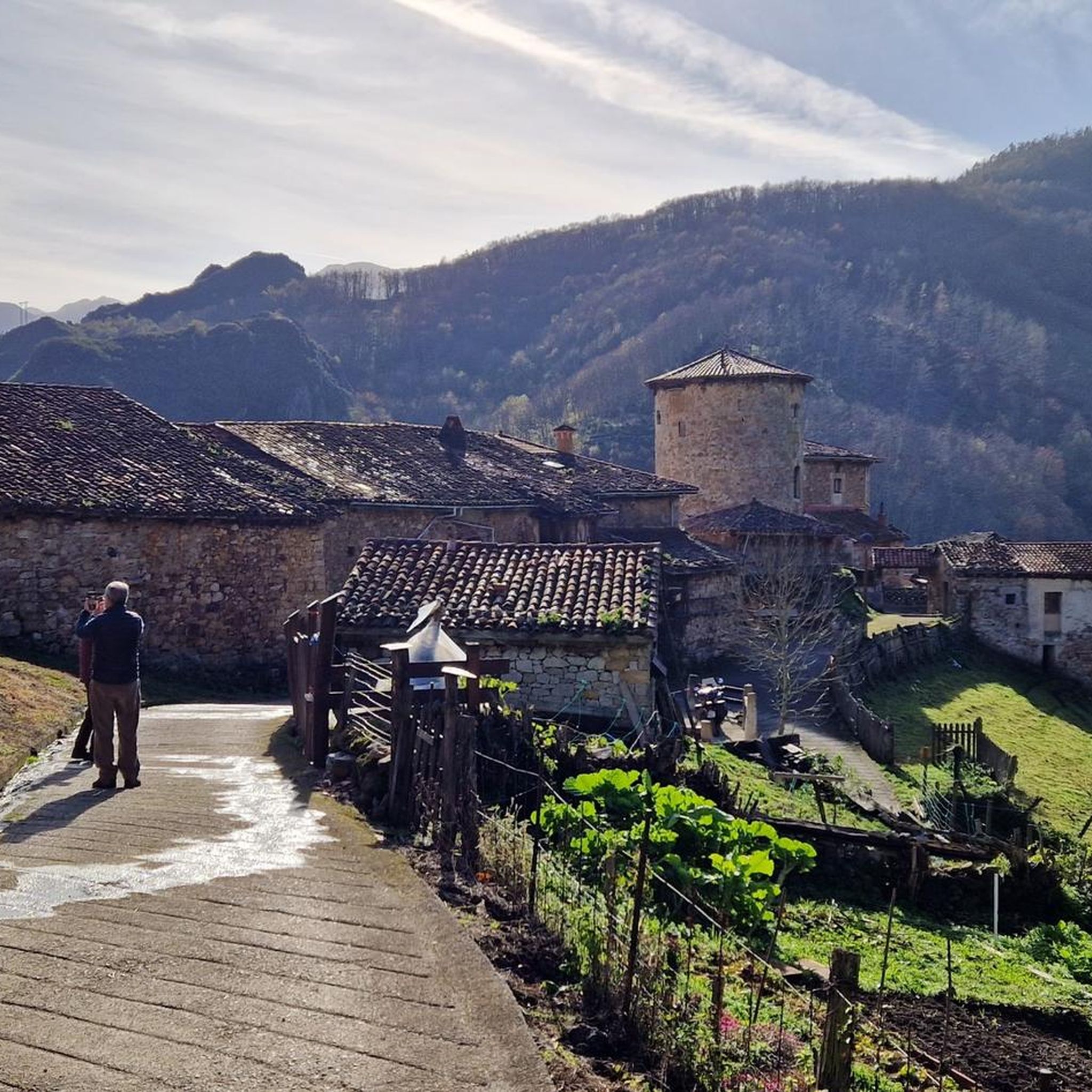
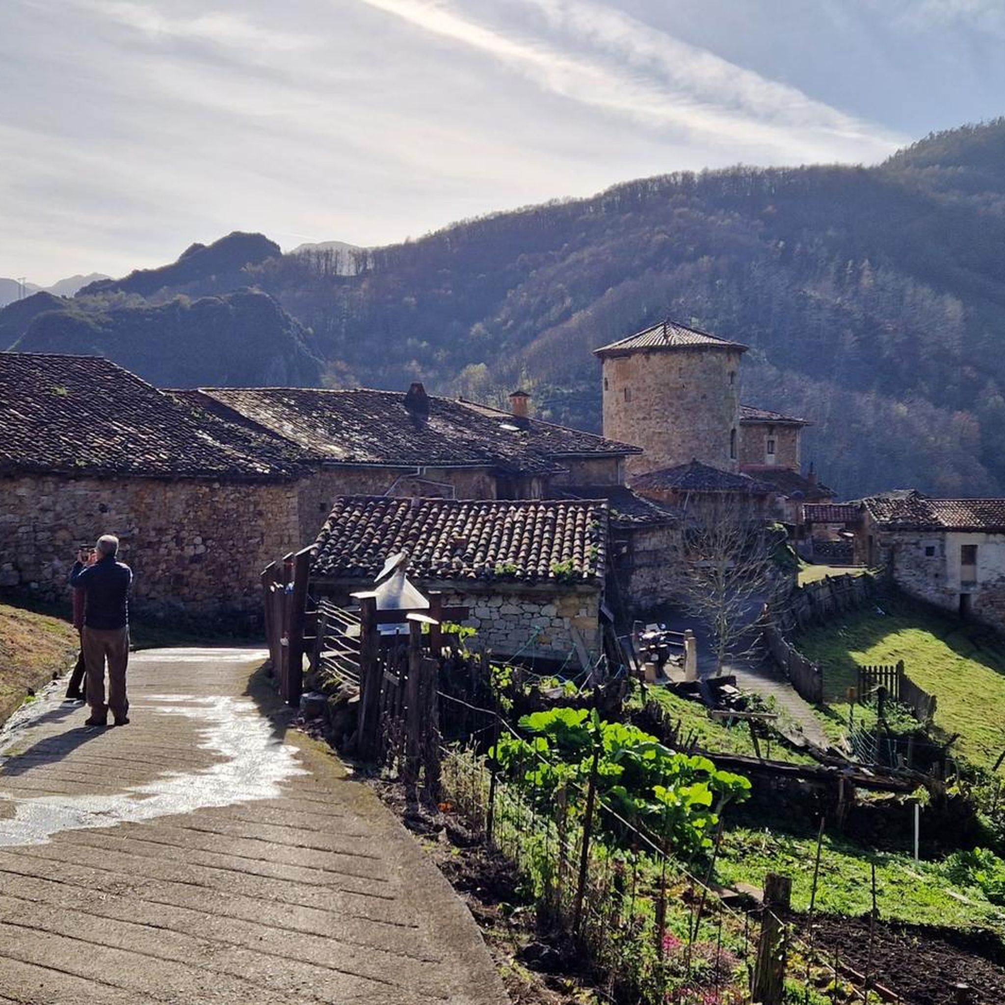
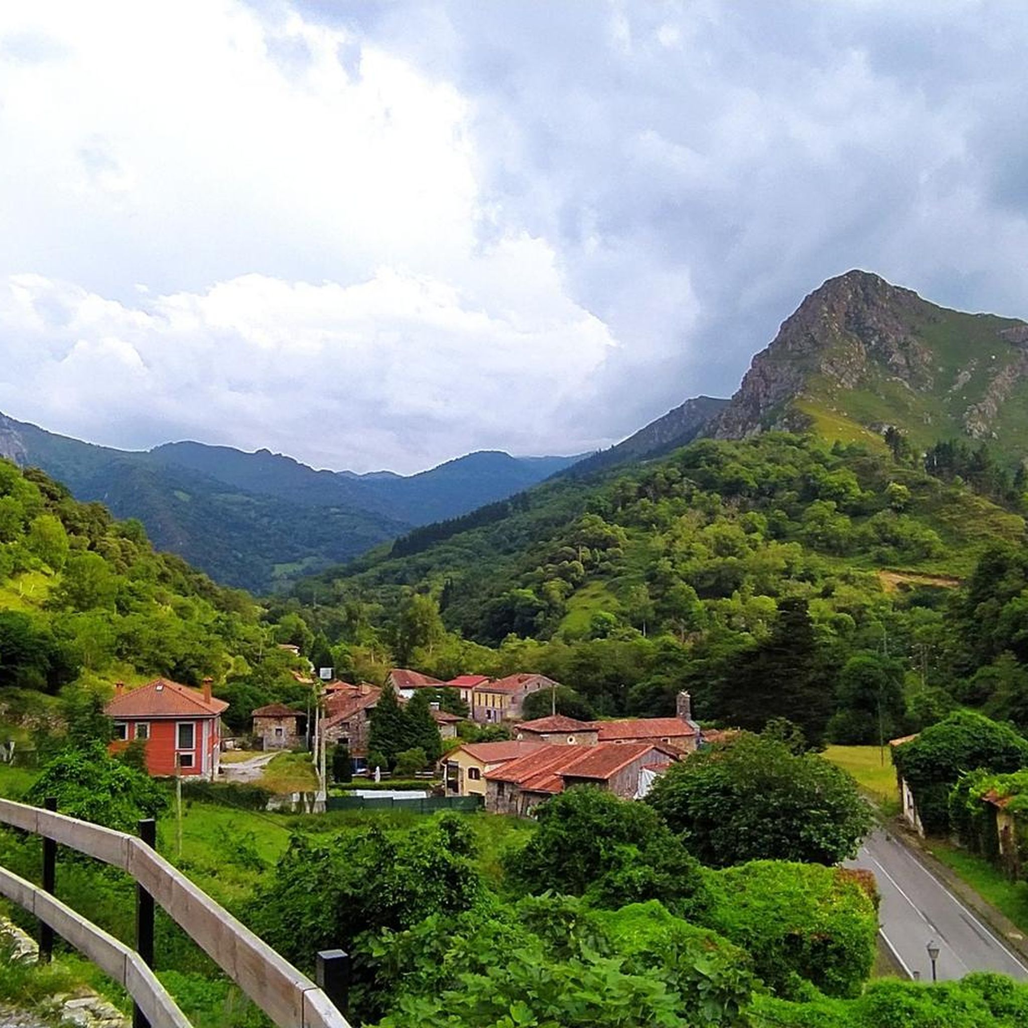
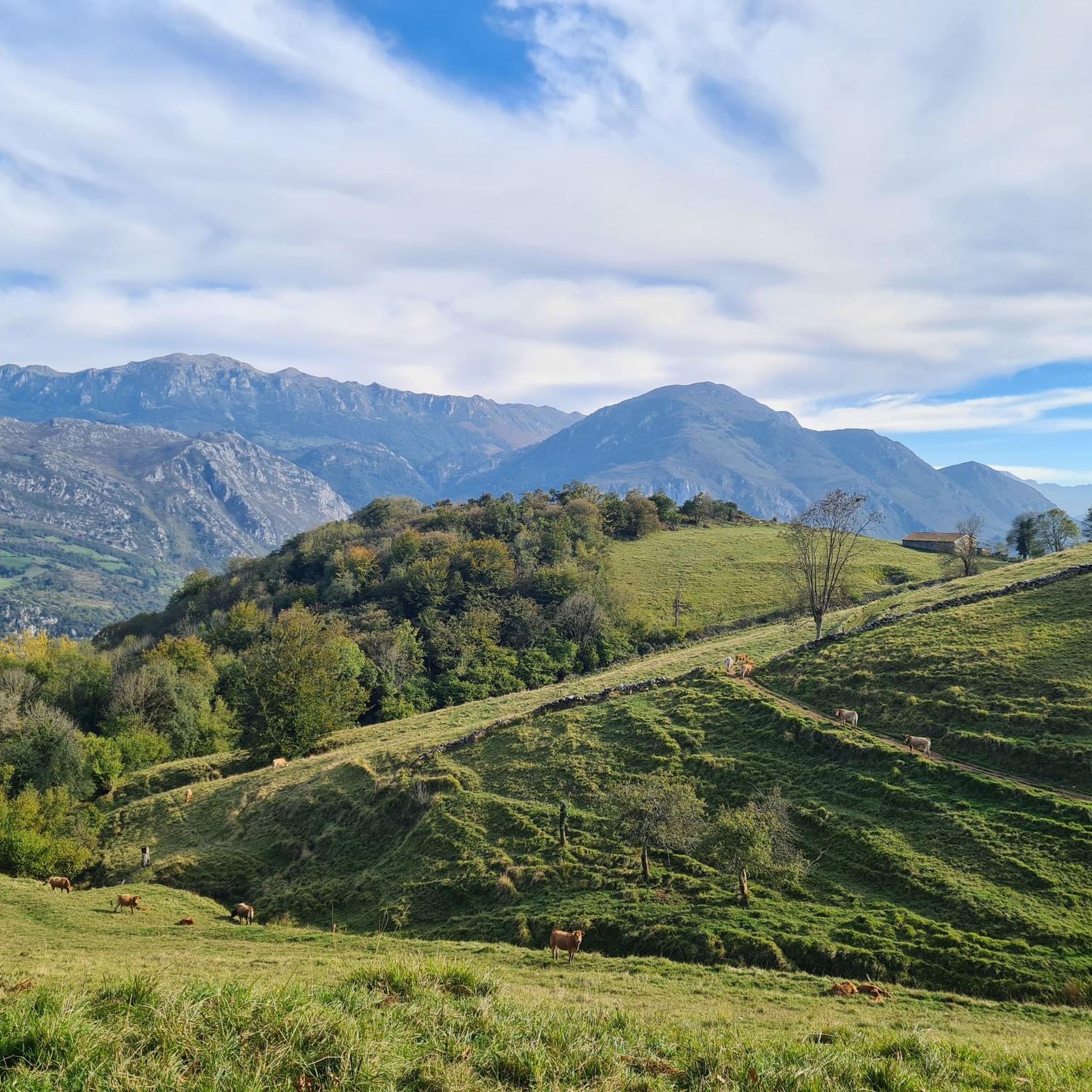
Touring cycling around Yernes Y Tameza is characterized by its mountainous terrain, featuring steep slopes, limestone formations, and a karst system within the Cantabrian mountain range. The region's elevation ranges from 200 to 1,300 meters above sea level, encompassing the Villabre river basin and forests of beech, oak, and chestnut. This diverse landscape offers a challenging environment for cyclists, with routes often traversing traditional "brañas asturianas" and ancient paths.
Best touring cycling routes around Yernes Y Tameza
- The most popular…
Last updated: June 29, 2026
9
riders
55.7km
04:45
1,700m
1,700m
This 34.6-mile loop combines the gentle Senda del Oso greenway with the challenging Cruz de Linares climb in Asturias, Spain.
4.9
(47)
557
riders
31.3km
02:20
550m
550m
Hard bike ride. Very good fitness required. Mostly paved surfaces. Suitable for all skill levels.

Sign up for free
4.8
(8)
96
riders
23.4km
01:47
360m
360m
Hard bike ride. Good fitness required. You may need to push your bike for some segments of this route.
5.0
(1)
50
riders
126km
09:31
2,950m
2,950m
Hard bike ride. Very good fitness required. You may need to push your bike for some segments of this route.
4.3
(3)
45
riders
20.0km
01:39
320m
320m
Hard bike ride. Good fitness required. You may need to push your bike for some segments of this route.
Get access to more routes and recommendations from other explorers.
Sign up for free
Already have an account?
Our route recommendations are based on thousands of hikes, rides, and runs completed by other people on komoot.
Start today with a free account
Your next adventure awaits.
Login or Signup
Tips from the Community

It's very interesting to take a look at
0
0
Very interesting to visit
0
0


Do not lean on the railing; someone has already fallen and died because there are sections of rotten wood.
0
0

It's an ideal starting point for tours in the region. Hotels and restaurants are available. However, the bears have retreated.
2
0
A very good route to do with children and the family, not the whole route but in sections.
0
0

The Teverga Gorges are an impressive part of the Senda del Oso, a very popular hiking and cycling route in Asturias. This trail follows the route of an old mining railway and crosses the Valles del Oso, which include the municipalities of Quirós, Santo Adriano, Proaza and Teverga.
2
0
The Valdemurio Reservoir Footbridge is a structure that allows visitors to enjoy panoramic views of the reservoir and its natural surroundings. This footbridge is part of the Senda del Oso, a very popular hiking and cycling route in Asturias.
2
0
Frequently Asked Questions
How many touring cycling routes are available in Yernes y Tameza?
There are over 25 touring cycling routes around Yernes y Tameza, offering a diverse range of experiences. Most of these, around 23, are classified as difficult, with 4 moderate options available.
What do other touring cyclists say about the routes in Yernes y Tameza?
The routes in Yernes y Tameza are highly rated by the komoot community, with an average score of 4.7 stars from over 70 reviews. More than 900 touring cyclists have used komoot to explore the varied terrain, often praising the challenging ascents and stunning natural beauty.
What natural features can I expect to see while cycling in Yernes y Tameza?
Yernes y Tameza offers breathtaking natural beauty. You'll traverse forests rich in beech, oak, chestnut, and holly trees, encounter picturesque 'brañas asturianas' (traditional stone mountain cabins), and experience the dramatic orography of the Cantabrian mountain range. Notable features include the Villabre river basin, the extensive meadows of the Puertos de Marabio, and the striking Desfiladero de Peñas Juntas on the Senda del Oso.
Are there any specific gorges or waterfalls to look out for?
Yes, the region is home to impressive natural formations. The Desfiladero de Peñas Juntas on the Senda del Oso is particularly striking, where rock walls appear to almost touch. You can also find the beautiful Guanga Waterfalls and the Route of the Xanas gorge nearby.
What kind of terrain will I encounter on touring cycling routes in Yernes y Tameza?
The terrain is predominantly mountainous, characterized by steep slopes, limestone formations, and a karst system. Routes often include challenging ascents and descents, ancient Roman roads like the Camín Real de la Mesa, and converted railway greenways such as the Senda del Oso. The elevation ranges from 200 to 1,300 meters above sea level, ensuring varied and often demanding rides.
Are there any circular touring cycling routes in the area?
Yes, many routes in Yernes y Tameza are designed as loops. For instance, you can try the challenging Senda del Oso and Cruz de Linares Loop, or the scenic Tunnels of the Bear Trail – Las Xanas Tunnel loop from Proaza. Another popular option is the Senda del Oso – Peñas Juntas Gorge loop from Proaza.
Are there any family-friendly touring cycling routes in Yernes y Tameza?
While many routes in Yernes y Tameza are challenging, the nearby Senda del Oso (Bear Route) is a popular Greenway suitable for all skill levels, including families. It's a former railway line that winds through gorges, tunnels, and over bridges, offering a more accessible cycling experience. Specific routes like the Medieval Tower of Proaza – Senda del Oso loop from Proaza incorporate sections of this easier trail.
Can I bring my dog on touring cycling routes in Yernes y Tameza?
Many natural areas in Asturias, including parts of the Senda del Oso, are generally dog-friendly, especially if your dog is well-behaved and kept on a leash. However, it's always best to check specific regulations for each trail or protected area you plan to visit, as rules can vary. Ensure your dog is fit enough for the distance and elevation, and always carry water for them.
What is the best time of year to go touring cycling in Yernes y Tameza?
The region's mountainous character means that spring and autumn generally offer the most pleasant conditions for touring cycling, with milder temperatures and beautiful scenery. Summers can be warm, especially at lower elevations, while winters can bring snow and colder temperatures, making some higher routes inaccessible or more challenging. Always check local weather forecasts before heading out.
Are there places to eat or stay near the cycling routes in Yernes y Tameza?
Yernes y Tameza is a small, rural municipality, but the surrounding area of Asturias offers various rural tourism centers, particularly in nearby villages like Proaza, which serve as hubs for outdoor activities. These areas often have cafes, pubs, and accommodation options catering to cyclists and hikers. It's advisable to plan your stops in advance, especially in more remote sections.
Are there any routes that offer significant elevation gain for advanced cyclists?
Absolutely. Yernes y Tameza is known for its challenging road cycling with significant elevation gains, attracting experienced cyclists. Routes like the 'Senda del Oso and Cruz de Linares Loop' (80 km with 2,080m elevation gain, though the komoot route is 55.7km with 1699m gain) and the 'Valdemurrio Reservoir – Alto de Gamoniteiro loop' (up to 91 km with 2,580m elevation gain) are prime examples, often featuring passes seen in the Vuelta a España.
What is the longest touring cycling route listed in Yernes y Tameza?
The longest touring cycling route listed is the Senda del Oso and Cruz de Linares Loop, which covers approximately 34.6 miles (55.7 km) and involves a significant elevation gain, making it a demanding ride.
Most popular attractions around Yernes Y Tameza

Get inspired with the komoot mobile app


Explore more
Browse the best Cycling routes in other regions.
