The best mountain hikes around Parco naturale regionale delle Dolomiti Friulane
4.5
(21)
206
hikers
21
hikes
Mountaineering routes around Parco naturale regionale delle Dolomiti Friulane traverse a landscape characterized by dramatic Dolomitic peaks and rugged, angular rock formations. This UNESCO World Heritage site features high naturalness and geological interest, with the highest peak, Cima dei Preti, reaching 2,707 meters (8,881 ft). The region offers an extensive network of trails, including challenging terrain for experienced climbers and routes leading through diverse alpine environments.
Best mountaineering routes around Parco naturale regionale delle Dolomiti Friulane
- The most popular mountaineering…
Last updated: August 28, 2026
4.7
(6)
38
hikers
5.27km
02:41
410m
410m
Hard mountaineering route. Good fitness required. Sure-footedness, sturdy shoes and alpine experience required.
5.0
(4)
34
hikers
Moderate mountaineering route. Good fitness required. Mostly accessible paths. Sure-footedness required.

Sign up for free
5.0
(1)
13
hikers
3.34km
01:40
230m
240m
Hard mountaineering route. Great for any fitness level. Sure-footedness, sturdy shoes and alpine experience required.
8
hikers
12.6km
06:55
1,280m
1,300m
Hard mountaineering route. Very good fitness required. Sure-footedness, sturdy shoes and alpine experience required.
5
hikers
16.6km
07:10
960m
960m
Hard mountaineering route. Very good fitness required. Mostly accessible paths. Sure-footedness required.
Get access to more routes and recommendations from other explorers.
Sign up for free
Already have an account?
Our route recommendations are based on thousands of hikes, rides, and runs completed by other people on komoot.
Start today with a free account
Your next adventure awaits.
Login or Signup
Popular around Parco naturale regionale delle Dolomiti Friulane

A trail running adventure in the Dolomites – Alta Via 6
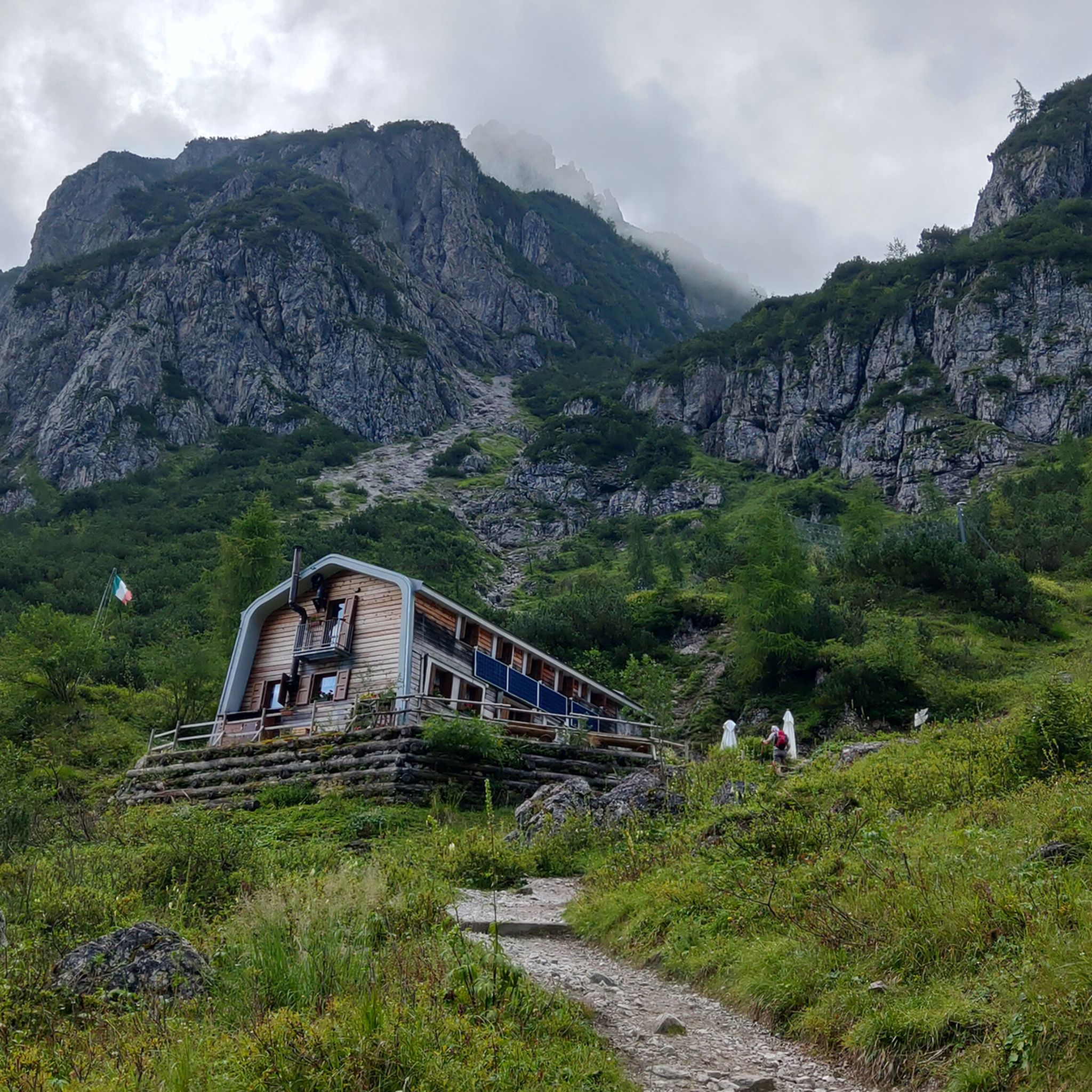
Hiking around Parco naturale regionale delle Dolomiti Friulane
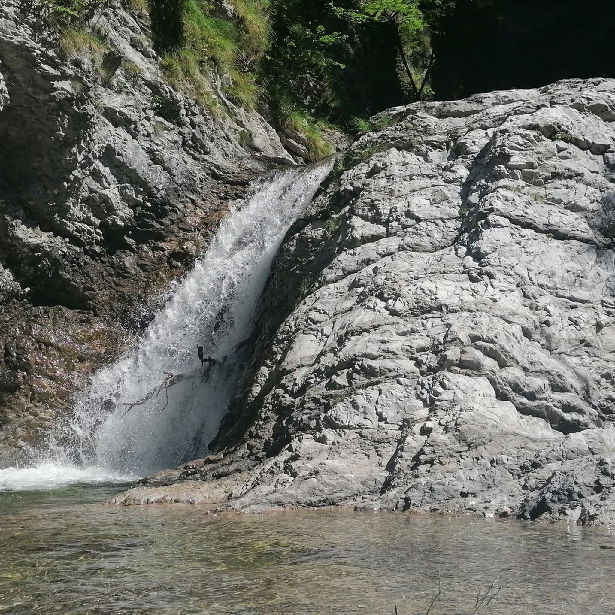
MTB Trails around Parco naturale regionale delle Dolomiti Friulane
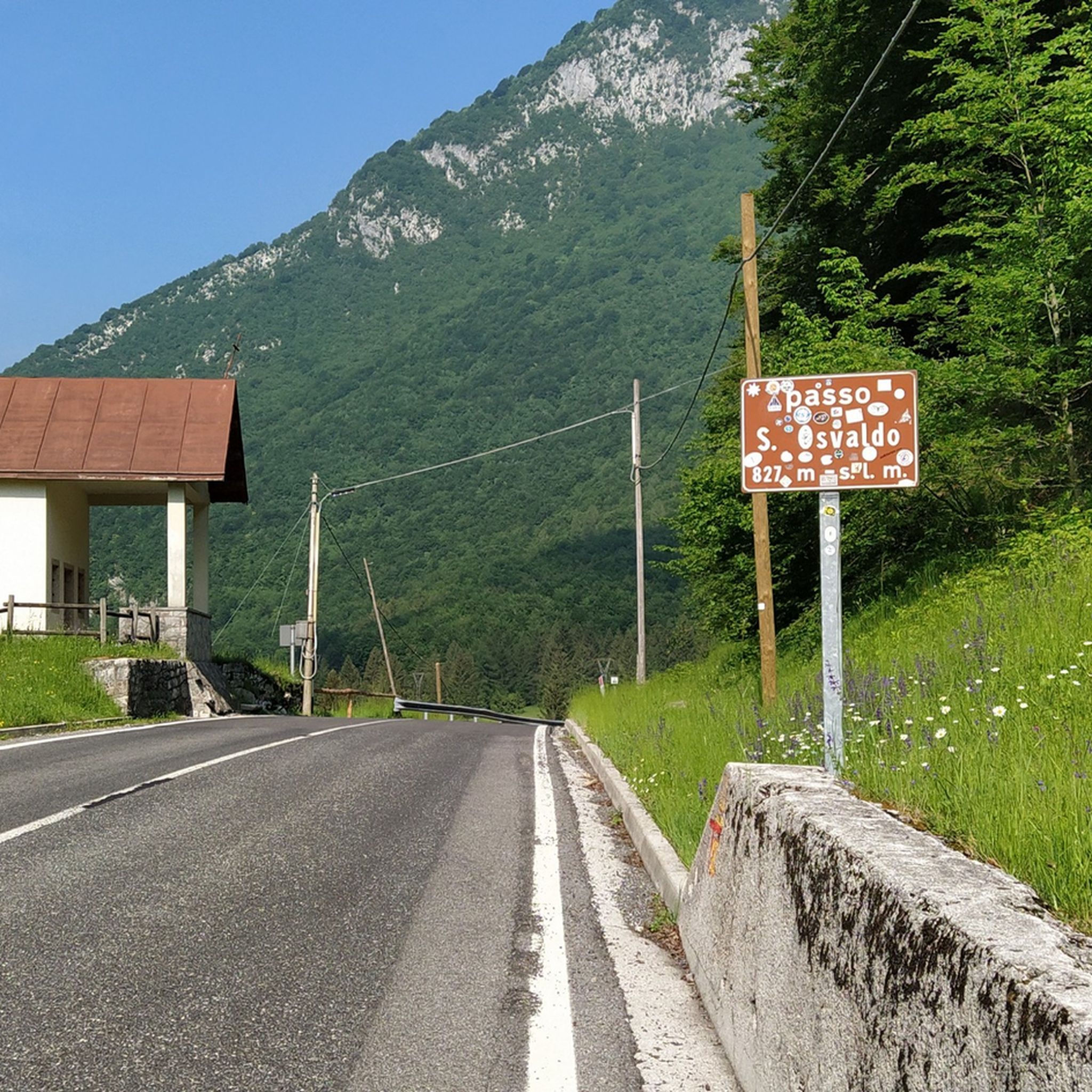
Road Cycling Routes around Parco naturale regionale delle Dolomiti Friulane
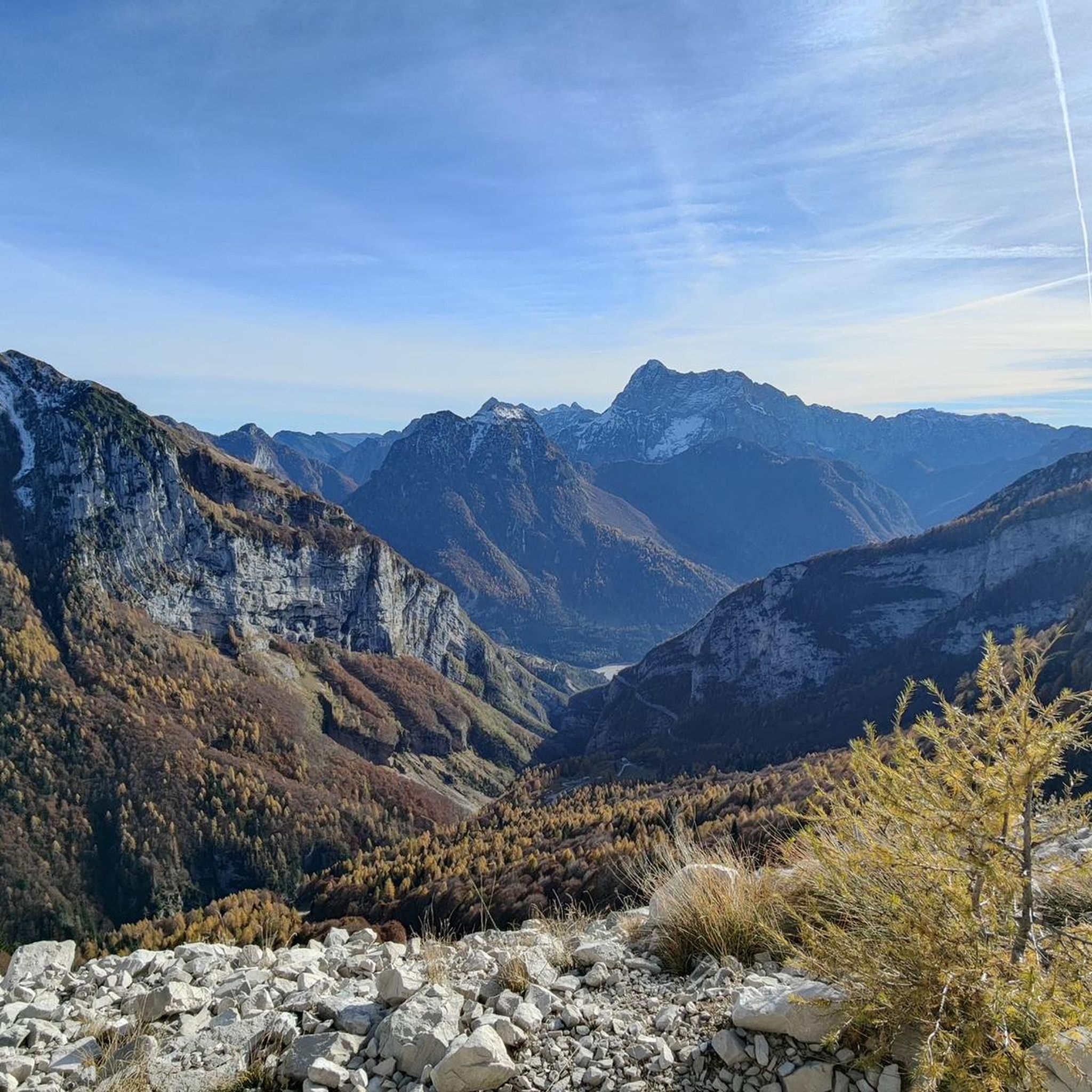
Cycling around Parco naturale regionale delle Dolomiti Friulane
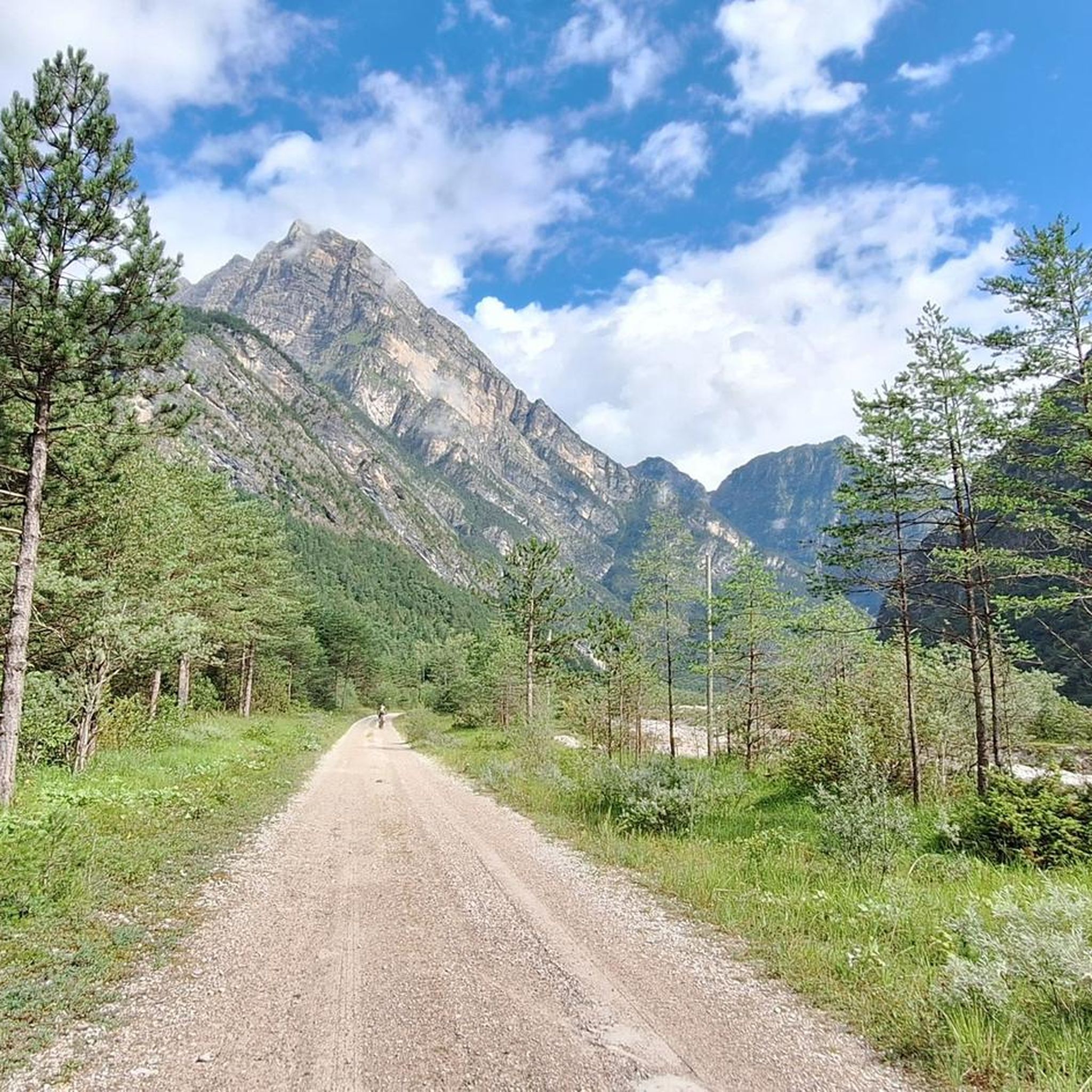
Running Trails around Parco naturale regionale delle Dolomiti Friulane

Gravel biking around Parco naturale regionale delle Dolomiti Friulane
Other adventures around Parco naturale regionale delle Dolomiti Friulane

Tips from the Community


The Vajont Dam Memorial and the connected "diffuse museum" constitute a solemn historical and civil itinerary dedicated to the disaster of October 9, 1963. The Vajont Dam is located in the municipality of Erto e Casso (PN), while the main centers of historical memory and exhibition develop in Longarone.
0
0

The Vajont Dam, located in the deep gorge between Friuli Venezia Giulia and Veneto, stands imposingly as a silent and monumental warning against human hubris. Having survived almost intact the catastrophic wave of October 9, 1963, caused by the landslide of Monte Toc, the structure is today a sacred place of collective memory. The dam's crest can be traversed through touching guided tours that allow you to walk close to the precipice, observing on one side the enormous landslide body and on the other the valley below of Longarone. Near the structure stands the Memorial, where a moving spread of colorful flags commemorates the children lost in the tragedy. The entire area, combined with the nearby Visitor Center of Erto and Casso, offers a historical and educational journey essential for understanding, remembering, and honoring the victims of the disaster.
0
0

Vajont is worth visiting, for the memory of the 1963 tragedy
0
0

A tragedy dictated by human greed.
13
0

The first section of the via ferrata is the most challenging. The rock is smooth, with few holds and grips, and is particularly slippery. The second section is more fun. Highly not recommended with wet rock.
0
0

A beautiful refuge, you can truly feel the refuge atmosphere. Well-managed, excellent food. Thanks to the two managers, Marika and Ivan: extraordinary!
0
0
An incredible place to visit at different times of the year.
0
0
Frequently Asked Questions
How many mountaineering routes are available in Parco naturale regionale delle Dolomiti Friulane?
There are 25 mountaineering routes documented in Parco naturale regionale delle Dolomiti Friulane, catering to various skill levels. Most of these, 18 to be exact, are classified as difficult, while 7 are moderate.
What are some of the most iconic natural landmarks to see while mountaineering in the region?
The park is home to several striking geological features. A truly unique and symbolic landmark is the Campanile di Val Montanaia, an impressive, isolated rock tower. You can experience this on the Campanile di Val Montanaia loop from Rifugio Pordenone. Another notable sight is the "Libri di San Daniele" (St. Daniel's books) on Monte Borgà, massive slabs of rock resembling stacked book pages, which you might encounter on routes like the Cima Sterpezza – Monte Borgà loop from Codissago. For a closer look at these and other natural monuments, explore highlights like the Campanile of Val Montanaia and The Books of San Daniele.
Are there any circular mountaineering routes in Parco naturale regionale delle Dolomiti Friulane?
Yes, many of the mountaineering routes in the park are designed as loops. Popular options include the Campanile di Val Montanaia loop from Rifugio Pordenone, the challenging Cima di Rodisegre – Spalla del Duranno loop from Casera di Conte, and the Mountaineering loop from Longarone.
What is the best time of year for mountaineering in the Friulian Dolomites?
The best time for mountaineering in Parco naturale regionale delle Dolomiti Friulane is typically from late spring to early autumn (June to September). During these months, the weather is generally more stable, and trails are free of snow at lower to mid-altitudes. Always check local weather forecasts and trail conditions before heading out, as conditions can change rapidly in the mountains.
Are there any family-friendly mountaineering options in the park?
While many routes are challenging, there are moderate options that might be suitable for families with older, experienced children. The Campanile di Val Montanaia loop from Rifugio Pordenone is classified as moderate and offers stunning views of an iconic landmark, making it a rewarding experience for those with some mountaineering experience.
What kind of wildlife can I expect to see while mountaineering?
The park is an untouched wilderness, offering opportunities to spot diverse fauna. Keep an eye out for chamois, roe deer, marmots, and ibex. The golden eagle, a symbol of the park, can often be seen soaring above the peaks.
Are there any routes that pass by significant water features or gorges?
Yes, the park is crisscrossed by stunning valleys and gorges. The Forra del Cellina (Cellina river gorge) is particularly spectacular. While specific mountaineering routes might not directly traverse the deepest parts of the gorge, you can find highlights like the Cimoliana Valley Riverbed and Fossiana Stream, which offer glimpses of the region's impressive water-carved landscapes.
What do other mountaineers say about the routes in Parco naturale regionale delle Dolomiti Friulane?
The routes in Parco naturale regionale delle Dolomiti Friulane are highly rated by the komoot community, with an average score of 4.6 stars from over 20 reviews. Mountaineers often praise the dramatic Dolomitic peaks, rugged rock formations, and the sense of untouched wilderness that makes the experience unique.
Are there any routes suitable for beginners in mountaineering?
The park primarily features moderate to difficult mountaineering routes. While there are no routes specifically classified as 'easy' for mountaineering, the 7 moderate routes, such as the Campanile di Val Montanaia loop from Rifugio Pordenone, could be suitable for beginners with a good level of fitness and some prior hiking experience, especially when accompanied by experienced individuals.
What are the typical durations for mountaineering routes in this region?
Route durations vary significantly based on difficulty and distance. For example, the moderate Campanile di Val Montanaia loop from Rifugio Pordenone typically takes around 3 hours and 35 minutes. More challenging routes, like the Cima di Rodisegre – Spalla del Duranno loop from Casera di Conte, can take over 7 hours due to their length and significant elevation gain.
Are there any specific geological features or formations that are unique to this park?
The park is renowned for its dramatic geological formations. Beyond the iconic Campanile di Val Montanaia, you can observe evidence of ancient deep seas in areas like Val di Suola, and even dinosaur footprints from the late Triassic period have been discovered. The
Most popular routes around Parco naturale regionale delle Dolomiti Friulane
Most popular attractions around Parco naturale regionale delle Dolomiti Friulane

Get inspired with the komoot mobile app


Explore more
Browse the best Mountain Hikes & Routes in other regions.
