The best cycling routes around Truchas
21
riders
4
rides
Touring cycling around Truchas, New Mexico, offers routes through the Sangre de Cristo Mountains, characterized by significant elevation changes and high-altitude terrain. The region features primeval spruce/fir forests, aspen glades, and views of the Truchas Peaks, which rise approximately 5,000 feet above the village. Located at about 8,000 feet above sea level, the area provides expansive views and challenging climbs for cyclists. Traditional acequias and rivers like the Rio Truchas also contribute to the natural landscape.
Best touring cycling routes…
Last updated: October 24, 2026
1
riders
42.2km
03:23
1,020m
1,020m
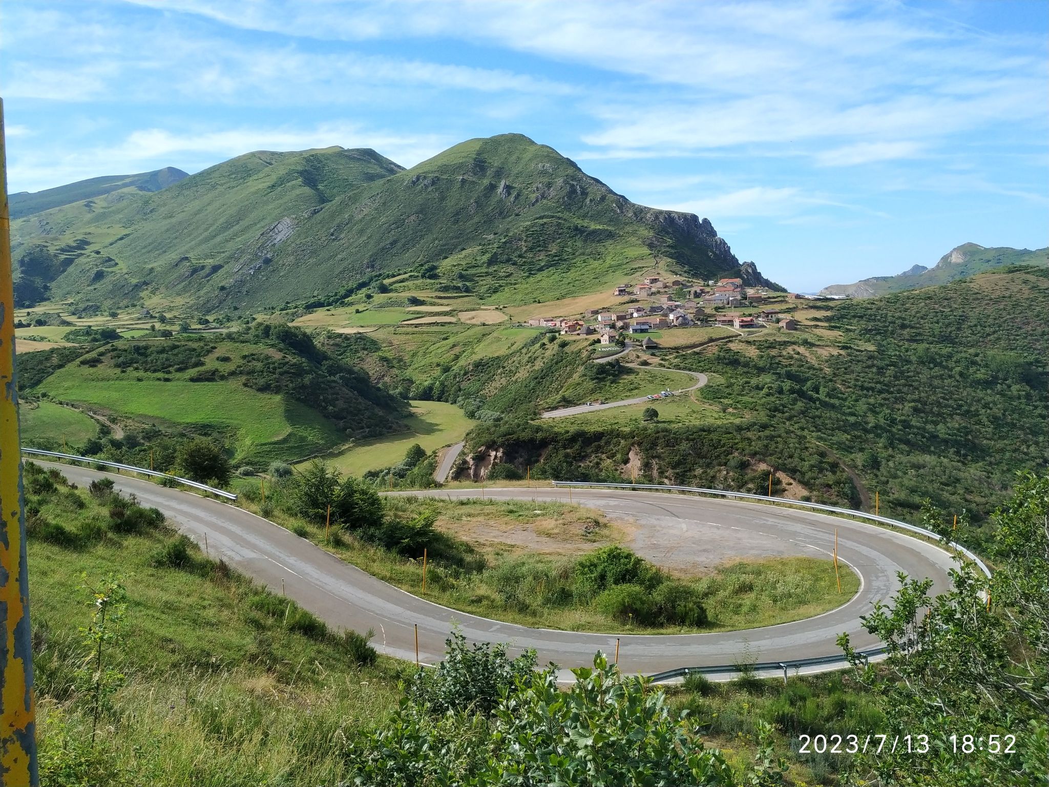
This difficult 26.2-mile touring cycling route from Baíllo through Puerto Peña Aguda offers dramatic rocky landscapes and mountain views.
60.1km
04:54
1,460m
1,460m
Challenge yourself on the Alto del Peñón Loop from Truchas, a difficult 37.3-mile touring cycling route with 4802 feet of elevation gain.

12
riders
91.7km
08:57
1,490m
1,490m
Hard bike ride. Very good fitness required. Mostly paved surfaces.
7
riders
66.5km
04:53
1,450m
1,450m
Hard bike ride. Very good fitness required. Mostly paved surfaces.
Our route recommendations are based on thousands of hikes, rides, and runs completed by other people on komoot.
Start today with a free account
Your next adventure awaits.
Other adventures around Truchas

Tips from the Community

a spectacular area for nature sports
0
0


Lake Sanabria is a very wine place to enjoy the area
0
0

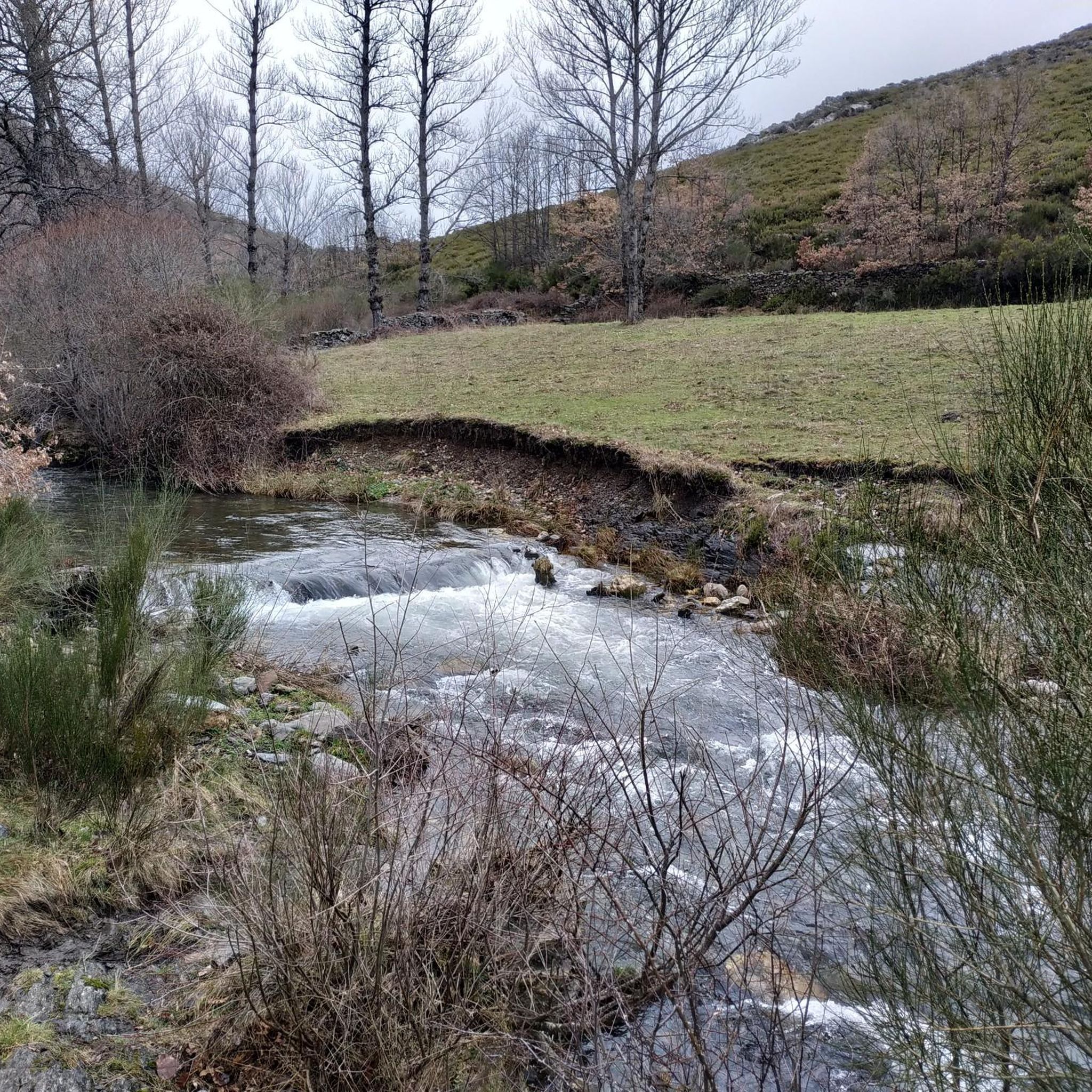
Truchas is a small town located at the confluence of the Eria and Truchillas rivers in the region of La Cabrera.
1
0

At this point there are wonderful views of the flow of the Tera river before it merges with the Sanabria lake. An extraordinary lake of glacial origin that is the largest in Spain.
0
0

A beautiful landscape that we found rolling down a wide dirt road between crops.
1
0
View of the mouth of the Tera river outside the Sanabria Lake Natural Park to continue its 135km until reaching the Esla river
1
0
The information center and entrance to the Lago Sanabria Natural Park. The lake is one of the largest natural lakes in Spain and a special conservation area that attracts many nature lovers and adventure seekers.
1
0
Frequently Asked Questions
How many touring cycling routes are available around Truchas?
Komoot currently features a selection of three touring cycling routes around Truchas. These routes are designed to showcase the region's unique landscapes and offer challenging rides through the Sangre de Cristo Mountains.
What kind of landscapes can I expect to see while touring cycling around Truchas?
Touring cyclists in Truchas can expect dramatic scenery, including primeval spruce/fir forests, aspen glades, and expansive views of the Truchas Peaks, which rise significantly above the village. The routes often feature high-altitude terrain, traditional acequias, and views of rivers like the Rio Truchas, all set against the backdrop of the Sangre de Cristo Mountains.
What is the typical elevation gain on touring cycling routes in Truchas?
Given Truchas's high-altitude location at about 8,000 feet above sea level, touring cycling routes in the area feature significant elevation changes. For example, the Encinedo and Truchas Circular Route includes over 3,339 feet (1,018 meters) of ascent, while the Alto del Peñón Loop from Truchas boasts over 4,799 feet (1,464 meters) of elevation gain.
Are there any circular touring cycling routes available in Truchas?
Yes, there are circular touring cycling routes available. A popular option is the Encinedo and Truchas Circular Route, which covers 26.2 miles (42.2 km) and offers a challenging ride through the local terrain. Another notable loop is the Alto del Peñón Loop from Truchas, a longer 37.3-mile (60.1 km) path with panoramic mountain views.
What are some notable natural features or landmarks along the touring cycling routes?
While cycling around Truchas, you can encounter various natural features and points of interest. Highlights include the Truchillas River Wooden Bridge and the scenic Waterfall and Bridge of the Arroyo del Silencio. The routes also offer views of the dramatic Sangre de Cristo Mountains and the Truchas Peaks.
Can I expect to see wildlife while touring cycling in Truchas?
The area around Truchas is rich in wildlife. Cyclists may have opportunities to observe various bird species, muskrats, turtles, coyotes, deer, and even bighorn sheep, especially in the more remote sections of the routes.
Is Truchas suitable for family touring cycling?
The touring cycling routes around Truchas are generally rated as difficult due to significant elevation changes and high-altitude terrain. There are currently no easy or moderate routes listed, which might make them less suitable for families with young children or those seeking a more relaxed ride.
Are touring cycling routes in Truchas dog-friendly?
While the natural environment around Truchas is generally welcoming to dogs, specific regulations for bringing dogs on cycling routes can vary, especially within protected areas or private lands. It's advisable to check local guidelines and ensure your dog is accustomed to long, challenging rides and high altitudes before embarking on a tour.
What is the best time of year for touring cycling in Truchas?
The high altitude of Truchas means that spring, summer, and early fall generally offer the most favorable conditions for touring cycling. During these seasons, you can enjoy clear, expansive views and more predictable weather. Winters can bring snow and colder temperatures, making many routes challenging or inaccessible.
Are there any cafes or places to stop for refreshments along the routes?
Truchas is a historic village with a small, vibrant community. While specific cafes directly on every route might be limited, the village itself, and other small settlements along the High Road to Taos, may offer opportunities for refreshments and local cuisine. It's recommended to carry sufficient water and snacks, especially on longer routes.
What are the challenges of touring cycling in Truchas?
The primary challenges for touring cyclists in Truchas include significant elevation gains and high-altitude riding, with routes often starting around 8,000 feet above sea level. The terrain can be demanding, and riders should be prepared for sustained climbs and descents. The Puebla de Sanabria Castle – Old Town of Puebla de Sanabria loop from Puebla de Sanabria, for instance, covers 36 miles with over 4,300 feet of ascent.
What makes Truchas a unique destination for touring cyclists?
Truchas offers a unique blend of challenging high-altitude cycling, breathtaking mountain views, and a rich cultural experience. Situated along the scenic High Road to Taos, cyclists can immerse themselves in the dramatic landscapes of the Sangre de Cristo Mountains, explore a historic village with an artistic community, and encounter diverse ecosystems, making it a distinctive and memorable destination.
Most popular attractions around Truchas

Get inspired with the komoot mobile app


Explore more
Browse the best Cycling routes in other regions.
