The best running trails around Réserve naturelle de Jujols
4.3
(17)
1,233
runners
55
runs
Jogging routes around Réserve naturelle de Jujols traverse a diverse landscape, characterized by significant altitudinal variations ranging from 1100 meters upwards, featuring geological formations of slate, schists, and limestone. The reserve spans 472.36 hectares, encompassing a mix of coniferous and deciduous forests, heathlands, and natural grasslands. This environment offers a range of paths, from moderate to challenging inclines, suitable for various running experiences.
Best jogging routes around Réserve naturelle de Jujols
- The most popular jogging route is Saint-André d'Évol Church…
Last updated: July 1, 2026
8
runners
22.2km
03:21
1,080m
1,080m
Hard run. Very good fitness required. Mostly paved surfaces. Suitable for all skill levels.
6
runners
Hard run. Very good fitness required. Mostly paved surfaces. Suitable for all skill levels.

Sign up for free
7
runners
46.9km
06:30
1,830m
1,830m
Hard run. Very good fitness required. Mostly paved surfaces. Suitable for all skill levels.
4
runners
10.3km
01:41
690m
680m
Hard run. Very good fitness required. Mostly paved surfaces. Suitable for all skill levels.
5.0
(1)
14
runners
15.3km
02:46
1,200m
1,210m
Hard run. Very good fitness required. Mostly paved surfaces. Suitable for all skill levels.
Get access to more routes and recommendations from other explorers.
Sign up for free
Already have an account?
Our route recommendations are based on thousands of hikes, rides, and runs completed by other people on komoot.
Start today with a free account
Your next adventure awaits.
Login or Signup

Tips from the Community

Basic necessities are available. However, you may need to call the owner. ;-)
0
0

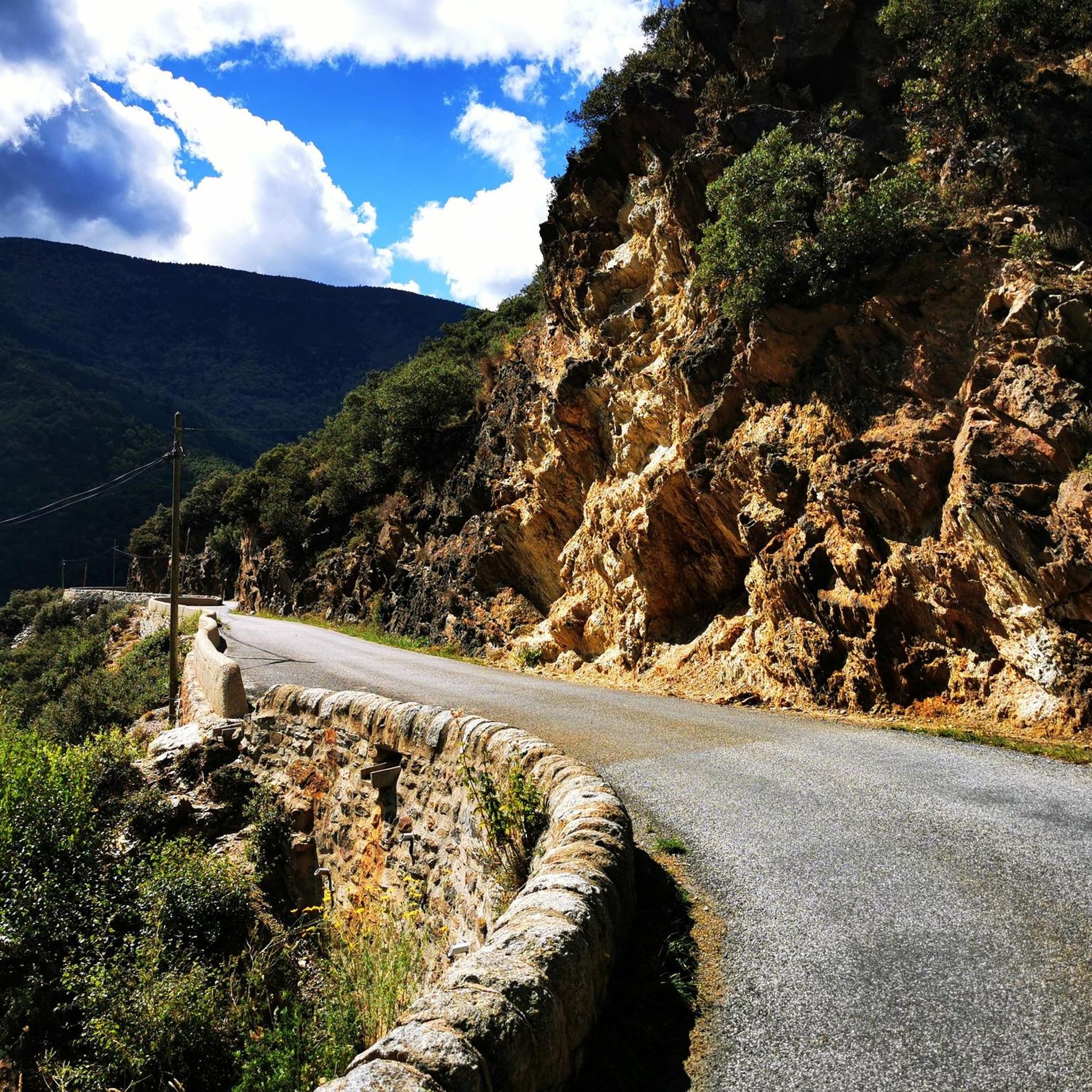
The Col de Jou from Villefranche de Conflent is a climb in the French Pyrenees. This climb is 11.4 kilometers long and has a positive elevation gain of 687 meters. The Col de Jou from Villefranche de Conflent has an average gradient of 6%.
15
0

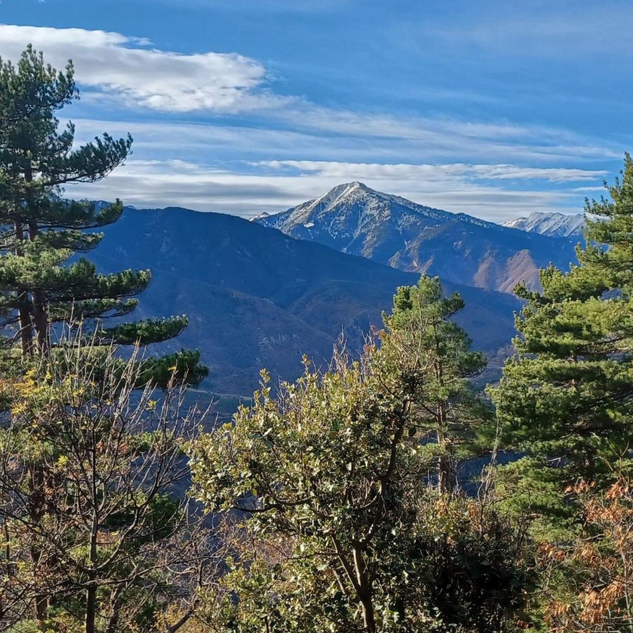
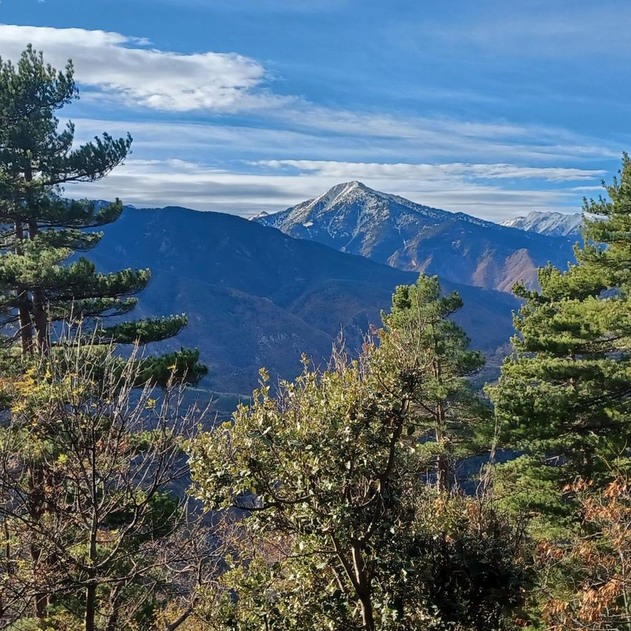
Sublime viewpoint over the Conflent and the Canigó massif. Towards the south, it is the high erosion surfaces which crown the village of Mantet which are revealed and tell a recent geological history: that of the flattening of the first Pyrenees and the regional uplift which brings a vast plain to altitude. Today, only scraps of plain remain dissected by the valleys: the plas de Campmagre at Pla Guillem.
0
0

Whether you decide to stop off or are looking for a place to refuel or eat, the Py Inn is there for you. Indeed, the establishment consists of a restaurant with terrace, a grocery store and rooms. It remains open all year round, and it is advisable to book in advance (even in winter).
0
0
La Rotja is a mountain torrent that flows through beautiful, easily accessible gorges. From the village of Py, you can easily go down to the river and beside natural swimming pools. The atmosphere is peaceful and cool in summer.
1
0
The Col de Jou peaks at an altitude of 1,125 meters. It is a well-known rallying point for local hikers. Indeed, the GR 10 passes through there, and it is the starting point for many hikes including the one that connects Canigou peak.
1
0

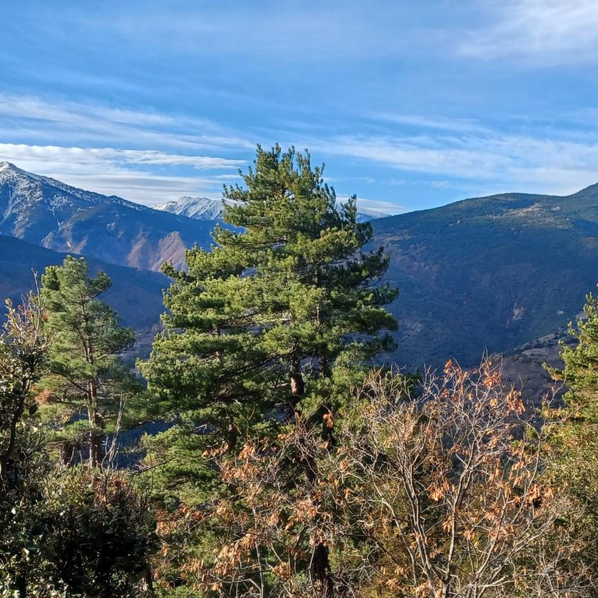
The Col de Jou on the route of the GR10 offers very beautiful panoramas.
0
0
Lake Nohèdes, also called Gorg Estelat, is a magnificent lake at an altitude of 2,002 meters at the foot of the Pic de Madrès.
0
0
Frequently Asked Questions
How many running routes are available in the Réserve naturelle de Jujols?
There are over 60 running routes available in and around the Réserve naturelle de Jujols, offering a wide range of experiences for different fitness levels. These routes are highly rated by the komoot community, with an average score of 4.3 stars from over 17 reviews.
What kind of terrain can I expect on the jogging trails in Réserve naturelle de Jujols?
The Réserve naturelle de Jujols offers a diverse landscape for running, characterized by significant altitudinal variations starting from 1100 meters. You'll encounter geological formations of slate, schists, and limestone, along with a mix of coniferous and deciduous forests, heathlands, and natural grasslands. This variety provides dynamic paths, from moderate to challenging inclines.
Are there any family-friendly jogging paths in the Réserve naturelle de Jujols?
Yes, the reserve offers paths suitable for various fitness levels, including easier options. While many routes involve significant climbs, there are also 'easy hikes and walks' around the reserve, such as the PR32: JUJOLS - CAMI DEL MENUT, which is a very easy 4km trail with a 140m elevation gain, taking about 1 hour and 30 minutes. These are great for families looking for a less strenuous run.
What are the typical distances and durations of running routes in the area?
The running routes in the Réserve naturelle de Jujols vary significantly. For example, you can find routes like the PR32: JUJOLS - CAMI DEL MENUT, which is 4 km and takes about 1.5 hours, up to more challenging options like the Saint-Clément Castle Ruins – Col de Jou loop from Serdinya, which is over 46 km and can take more than 6 hours to complete.
What natural features or landmarks can I see while running in the Réserve naturelle de Jujols?
Jogging through the reserve offers an immersive nature experience. You can observe rich biodiversity, including over 800 species of butterflies, deer, wild boar, golden eagles, and bearded vultures. The varied landscapes feature green oak in lower areas and Scots pine above 1600m. Some routes, like the Saint-André d'Évol Church loop from Olette - Canaveilles-les-Bains, also offer views of local cultural heritage.
Are there any circular running routes available?
Many of the running routes in the Réserve naturelle de Jujols are designed as loops, allowing you to start and finish at the same point. Examples include the popular Saint-André d'Évol Church loop from Olette - Canaveilles-les-Bains and the challenging Refuge de la Perdiu loop from Olette - Canaveilles-les-Bains.
What is the best time of year for jogging in the Réserve naturelle de Jujols?
The reserve experiences a unique climatic blend of Mediterranean and mountain influences. While specific recommendations depend on personal preference, the diverse terrain and varying altitudes mean that different seasons offer distinct experiences. Spring and autumn generally provide pleasant temperatures for running, while summer can be warm, especially at lower elevations. Winter running is possible but may require checking for snow conditions at higher altitudes.
What do other runners enjoy most about jogging in the Réserve naturelle de Jujols?
The area is highly rated by the komoot community, with an average score of 4.3 stars. Runners often praise the varied terrain, extensive forests, and open grasslands that define the routes. The opportunity to experience a rich and protected natural environment, coupled with options for moderate to difficult ability levels, makes it a popular choice for those seeking a challenge and an immersive nature experience.
Are there dog-friendly running routes in the Réserve naturelle de Jujols?
While the Réserve naturelle de Jujols is a protected area with rich biodiversity, many trails within natural reserves in France generally permit dogs on a leash. It's always recommended to check specific regulations for the Réserve naturelle de Jujols before heading out with your dog to ensure compliance with local wildlife protection rules. You can find more information on the reserve's official pages, such as Visit Occitanie.
Is there parking available near the jogging trails?
Yes, parking is generally available in and around the villages bordering the Réserve naturelle de Jujols, such as Jujols itself, Olette - Canaveilles-les-Bains, Nohèdes, and Serdinya, which serve as common starting points for many routes. It's advisable to check specific trailheads for designated parking areas.
How can I reach the Réserve naturelle de Jujols by public transport for jogging?
Access to the Réserve naturelle de Jujols by public transport can be limited due to its natural, mountainous setting. The nearest train stations might be in larger towns in the Pyrénées-Orientales region, from which local bus services or taxis would be required to reach villages like Jujols or Olette. For detailed information on regional transport, it's best to consult local public transport websites or tourist information centers like Tourisme Canigó.
Are there any easy jogging routes for beginners?
While many routes in the reserve are moderate to difficult, there are options suitable for beginners or those looking for an easier run. The region research mentions 'easy hikes and walks' that are accessible for all skill levels, often involving up to 2 hours of activity and around 1,000 feet of elevation gain. These paths provide a gentler introduction to running in the reserve's beautiful environment.
Most popular routes around Réserve naturelle de Jujols

Get inspired with the komoot mobile app


Explore more
Browse the best Running Trails & Routes in other regions.
