The best road cycling routes around Réserve naturelle de Jujols
4.1
(35)
1,604
riders
31
rides
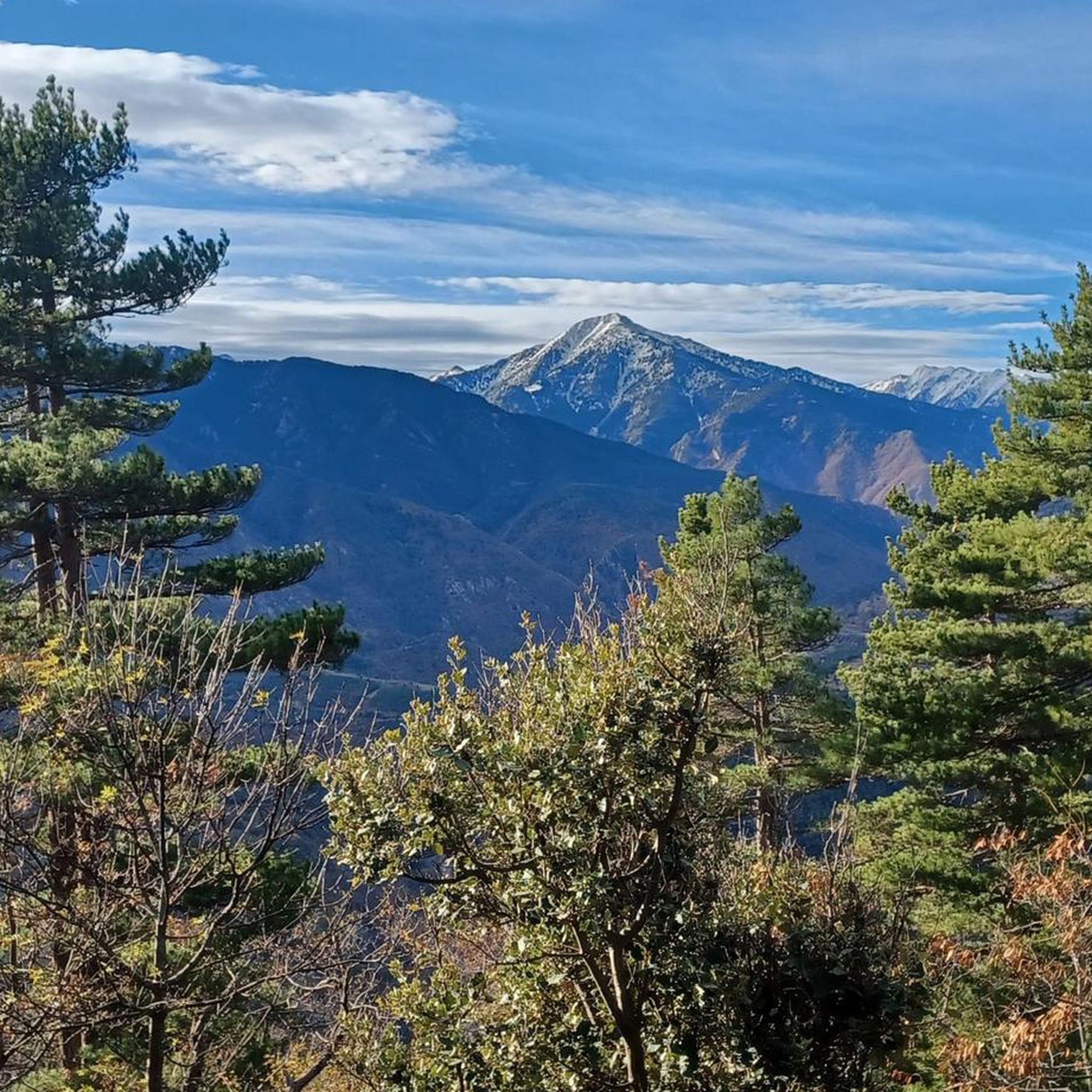
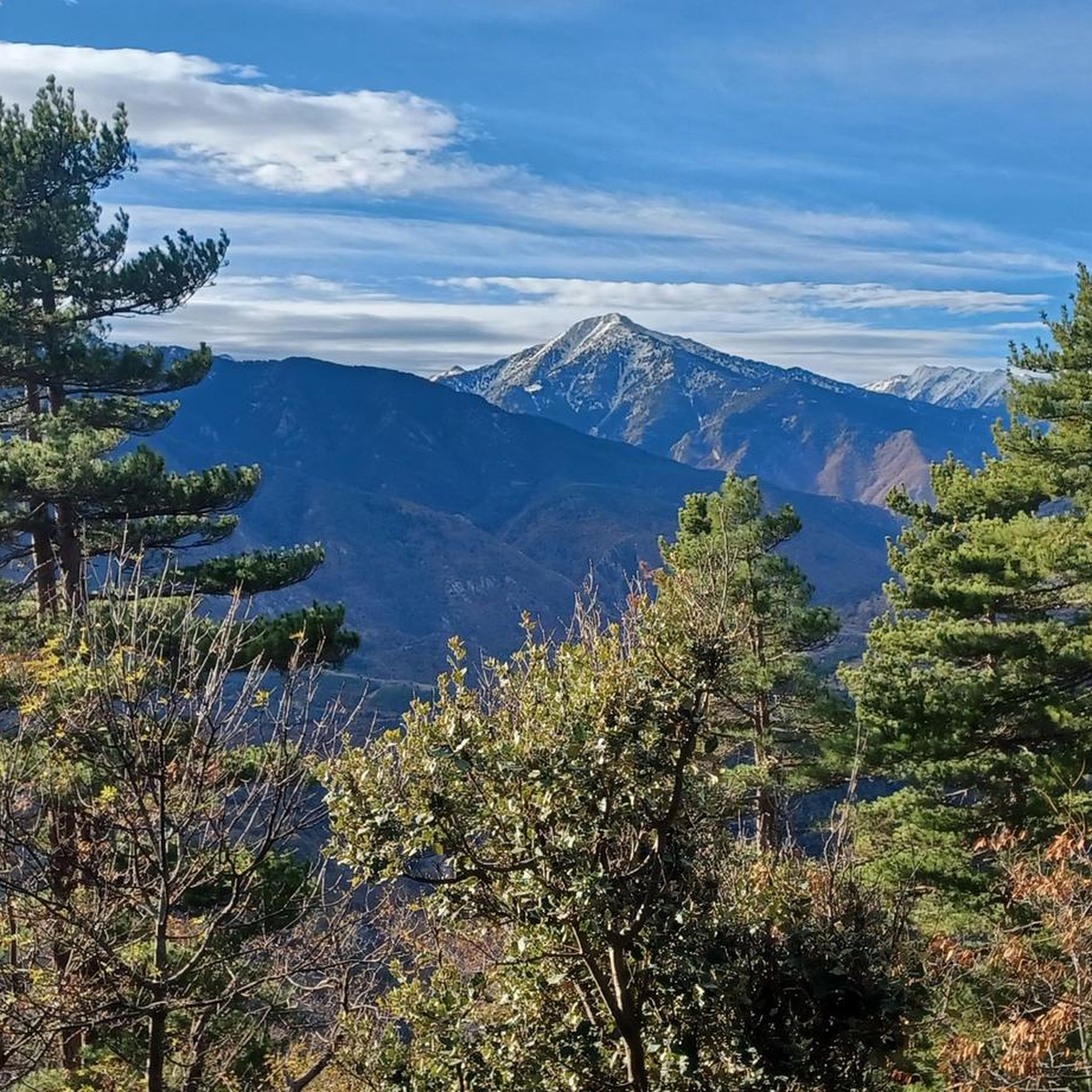
Road cycling routes around Réserve naturelle de Jujols are situated in a region characterized by a blend of Mediterranean and mountain climates. The landscape features diverse habitats including forests, heathlands, and varying topography, with altitudes ranging from 1017m to 2172m. The area offers views of the iconic Canigó mountain and is accessible via roads like the D57, which connects to the village of Jujols. While the reserve itself is primarily for hiking, the broader vicinity provides opportunities for road cycling…
Last updated: July 4, 2026
5.0
(5)
775
riders
70.2km
04:20
1,850m
1,850m
Hard road ride. Very good fitness required. Some segments of this route may be unpaved and difficult to ride.
49
riders
73.7km
03:54
1,350m
1,350m
Hard road ride. Very good fitness required. Mostly well-paved surfaces and easy to ride.

Sign up for free
21
riders
39.6km
02:31
1,130m
1,130m
Hard road ride. Very good fitness required. Some segments of this route may be unpaved and difficult to ride.
20
riders
Hard road ride. Very good fitness required. Mostly well-paved surfaces and easy to ride.
4.5
(4)
34
riders
37.5km
02:00
710m
710m
Moderate road ride. Good fitness required. Mostly well-paved surfaces and easy to ride.
Get access to more routes and recommendations from other explorers.
Sign up for free
Already have an account?
Our route recommendations are based on thousands of hikes, rides, and runs completed by other people on komoot.
Start today with a free account
Your next adventure awaits.
Login or Signup


Tips from the Community

The Grand Menhir of Counozouls weighs 50 tons and is 8.9m high. It is the largest menhir in Southern France.
1
0

Quite a bit of traffic, but a pretty port, especially the final section.
0
0

It's an ideal spot for a picnic. It's also an ideal place for groups of cyclists supported by vans, as there's plenty of space here to relax and not disturb anyone. The lake is at an elevated point, so accessing it from La Llagonne or Les Angles requires a steep climb, always at a lower gradient.
0
0

Small pass at the exit of Ayguatebia which leads back to the Col de Creu. Not cleared of snow from November to March.
0
0
Fountain in the charming little village of Ayguatebia to refill your water before the final of the Col de la Llose or the Col de Jouël.
0
0


A very pleasant route in summer thanks to the coolness and the constant presence of the Saint-Vincent River, which flows down from the Conques du Canigó. The atmosphere of these gorges and the roar of the waterfalls will enchant you. Be careful, as this steep trail carries a risk of falling rocks and boulders. Follow the signs. Do not use during storms, rain, or flooding. Cross the stream via a ford at the second waterfall. Rocky path. Hiking boots are strongly recommended. Note: The trail is closed from September 30th to April 1st (municipal decree in effect).
16
0
Frequently Asked Questions
What kind of terrain can I expect on road cycling routes around Réserve naturelle de Jujols?
The region features a blend of Mediterranean and mountain climates, offering diverse landscapes. You'll encounter varying topography, including forests and heathlands, with altitudes ranging from 1017m to 2172m. Expect significant elevation changes and challenging climbs, especially on routes that venture into the broader Pyrénées-Orientales department.
Are there routes suitable for beginner road cyclists?
While many routes in the area are classified as difficult, there are a couple of easier options available. Overall, the region offers 2 easy, 10 moderate, and 12 difficult road cycling routes, providing choices for various skill levels.
What are some notable natural features or viewpoints I might see while cycling?
Road cycling routes in the area often provide views of the iconic Canigó mountain. You might also encounter diverse habitats including forests and heathlands, and experience the unique blend of Mediterranean and mountain flora and fauna. While the reserve itself is primarily for hiking, the surrounding roads offer scenic vistas.
Can I find circular road cycling routes in the Réserve naturelle de Jujols area?
Yes, many of the road cycling routes in the region are designed as loops. For example, the Eus – Villefranche-de-Conflent loop from Olette - Canaveilles-les-Bains is a moderate 63.2 km circular route, and the Jouël pass – Spring Water Fountain loop from Olette - Canaveilles-les-Bains offers a challenging 35.2 km ride.
What is the best time of year for road biking in this region?
Given the blend of Mediterranean and mountain climates, spring and autumn generally offer pleasant temperatures for road cycling. Summers can be warm, especially at lower altitudes, while winters may bring colder conditions and potential snow at higher elevations. Always check local weather forecasts before heading out.
Are there any challenging climbs for experienced road cyclists?
Absolutely. The region is known for its mountainous terrain and offers several routes with significant elevation gain. The Col de la Creu – Col de la Llose loop from Olette, for instance, is a difficult 70.2 km route with substantial mountain climbs, and the Beautiful mountain road – Col de la Llose loop from Olette - Canaveilles-les-Bains also features challenging ascents.
What do other road cyclists say about the routes around Réserve naturelle de Jujols?
The road cycling routes in this area are highly rated by the komoot community, with an average score of 4.3 stars from over 20 reviews. Cyclists often appreciate the varied terrain, the challenging climbs, and the scenic views of the Canigó mountain and surrounding natural landscapes.
Is it possible to access the road cycling routes by public transport?
The village of Jujols is accessible via the D57 road from Olette. Olette itself may have public transport connections, but for specific details on reaching trailheads or starting points by public transport, it's advisable to consult local transport schedules for the Conflent Canigó region or the Pyrénées-Orientales department.
Where can I find parking for road cycling near Réserve naturelle de Jujols?
While specific parking areas for road cyclists are not detailed, the village of Jujols is accessible by road. Olette and other nearby towns that serve as starting points for routes, such as Olette - Canaveilles-les-Bains, typically offer parking facilities. It's recommended to check parking availability in these towns.
Are there any family-friendly road cycling options?
While many routes feature significant elevation, there are easier options available. For family-friendly cycling, look for routes classified as 'easy' or 'moderate' and consider the overall distance and elevation gain. The broader Conflent Canigó region might offer more dedicated family-friendly cycling paths outside of the most challenging mountain routes.
Can I find cafes or places to stop for refreshments along the road cycling routes?
The routes often pass through or near villages like Olette, Canaveilles-les-Bains, Villefranche-de-Conflent, and Eus. These villages are likely to have cafes, bakeries, or small shops where you can stop for refreshments. It's always a good idea to carry sufficient water and snacks, especially on longer or more remote sections.
Are there any specific permits required for road cycling in the Réserve naturelle de Jujols area?
Road cycling on public roads in the broader region generally does not require specific permits. However, the Réserve naturelle de Jujols itself is primarily for hiking, and cycling *within* the reserve's walking trails is typically restricted. Always respect local regulations and signage, especially when cycling near protected natural areas.
Most popular routes around Réserve naturelle de Jujols

Get inspired with the komoot mobile app


Explore more
Browse the best Road cycling routes in other regions.
