The best MTB trails around Comunidad de Barbadillo de Herreros y Vallejimeno
5.0
(2)
52
riders
8
rides
Mountain bike trails around Comunidad de Barbadillo de Herreros y Vallejimeno are situated within the Sierra de la Demanda Natural Space, characterized by mountainous terrain with peaks exceeding 2,000 meters. The region features diverse landscapes including glacial lagoons, dense forests, and river valleys. The Vía Verde de la Sierra de la Demanda, an old railway line, offers a scenic greenway for cycling. This area provides a range of routes from moderate to difficult, with significant elevation changes.
Best mountain bike…
Last updated: June 28, 2026
1
riders
29.7km
02:49
710m
710m
This moderate 18.4-mile mountain biking route from Barbadillo de Herreros explores the scenic Valle de Valdelaguna in Sierra de la Demanda.
5.0
(1)
31
riders
Hard mountain bike ride. Very good fitness required. Advanced riding skills necessary.

Sign up for free
13
riders
42.4km
02:58
710m
710m
Moderate mountain bike ride. Good fitness required. Suitable for all skill levels.
5.0
(1)
3
riders
40.2km
03:40
1,020m
1,020m
Hard mountain bike ride. Very good fitness required. Advanced riding skills necessary.
4
riders
75.6km
05:56
1,650m
1,650m
Hard mountain bike ride. Very good fitness required. Suitable for all skill levels.
Get access to more routes and recommendations from other explorers.
Sign up for free
Already have an account?
Our route recommendations are based on thousands of hikes, rides, and runs completed by other people on komoot.
Start today with a free account
Your next adventure awaits.
Login or Signup
Popular around Comunidad de Barbadillo de Herreros y Vallejimeno
Tips from the Community

Spectacular area for hiking routes
0
0

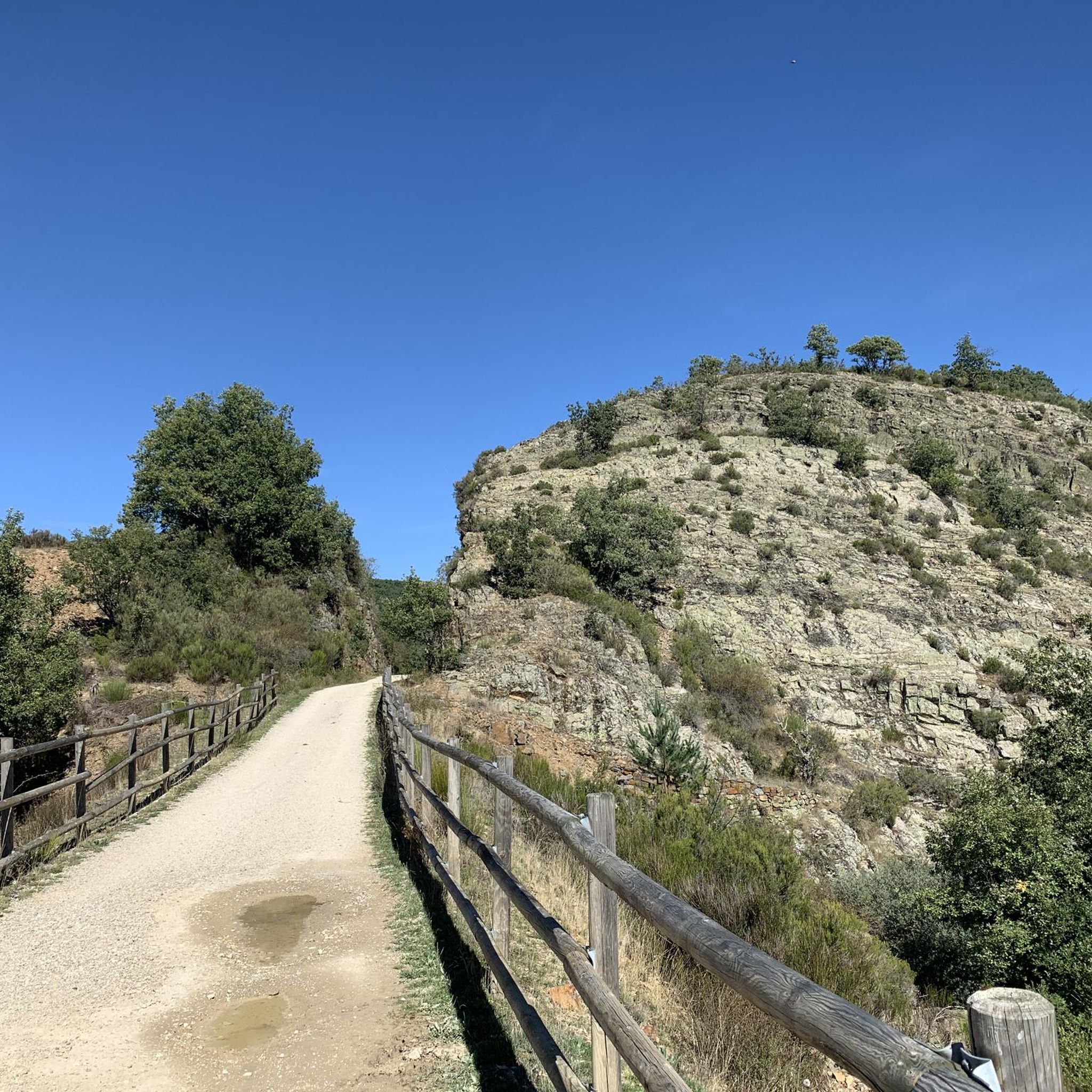
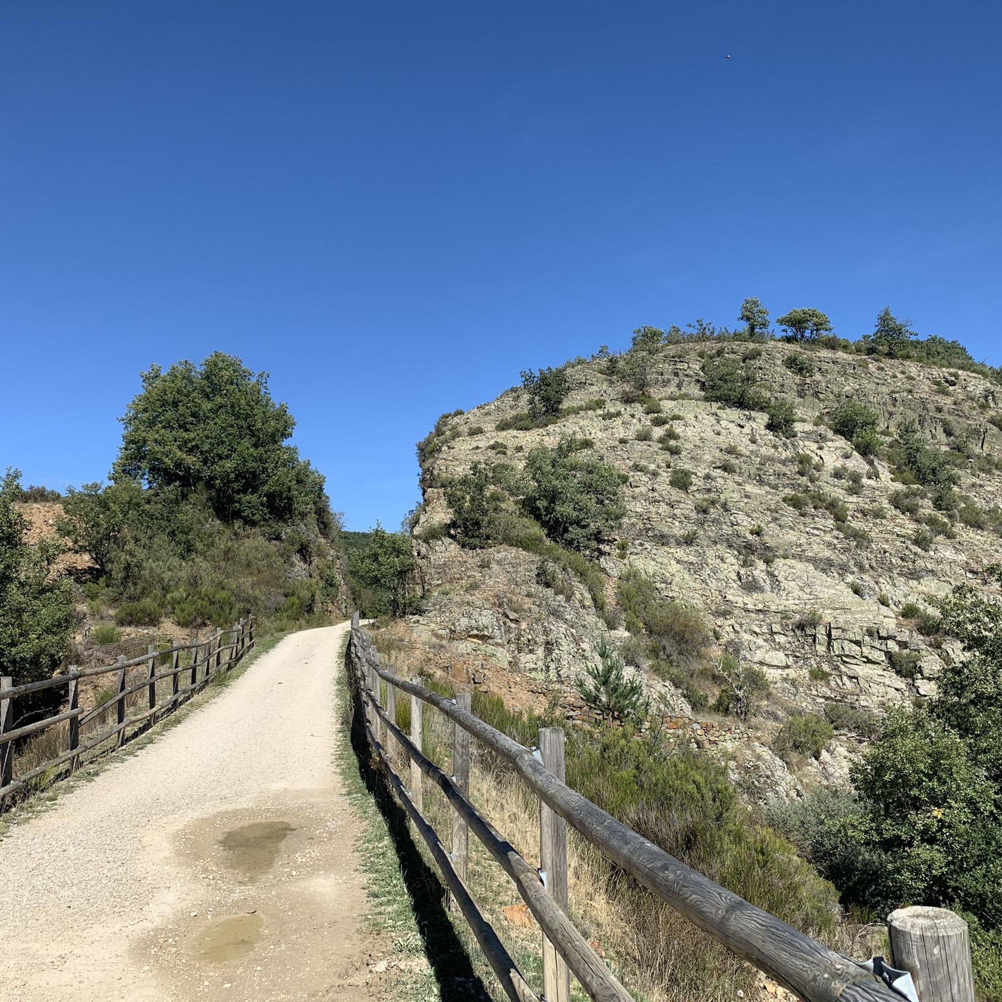
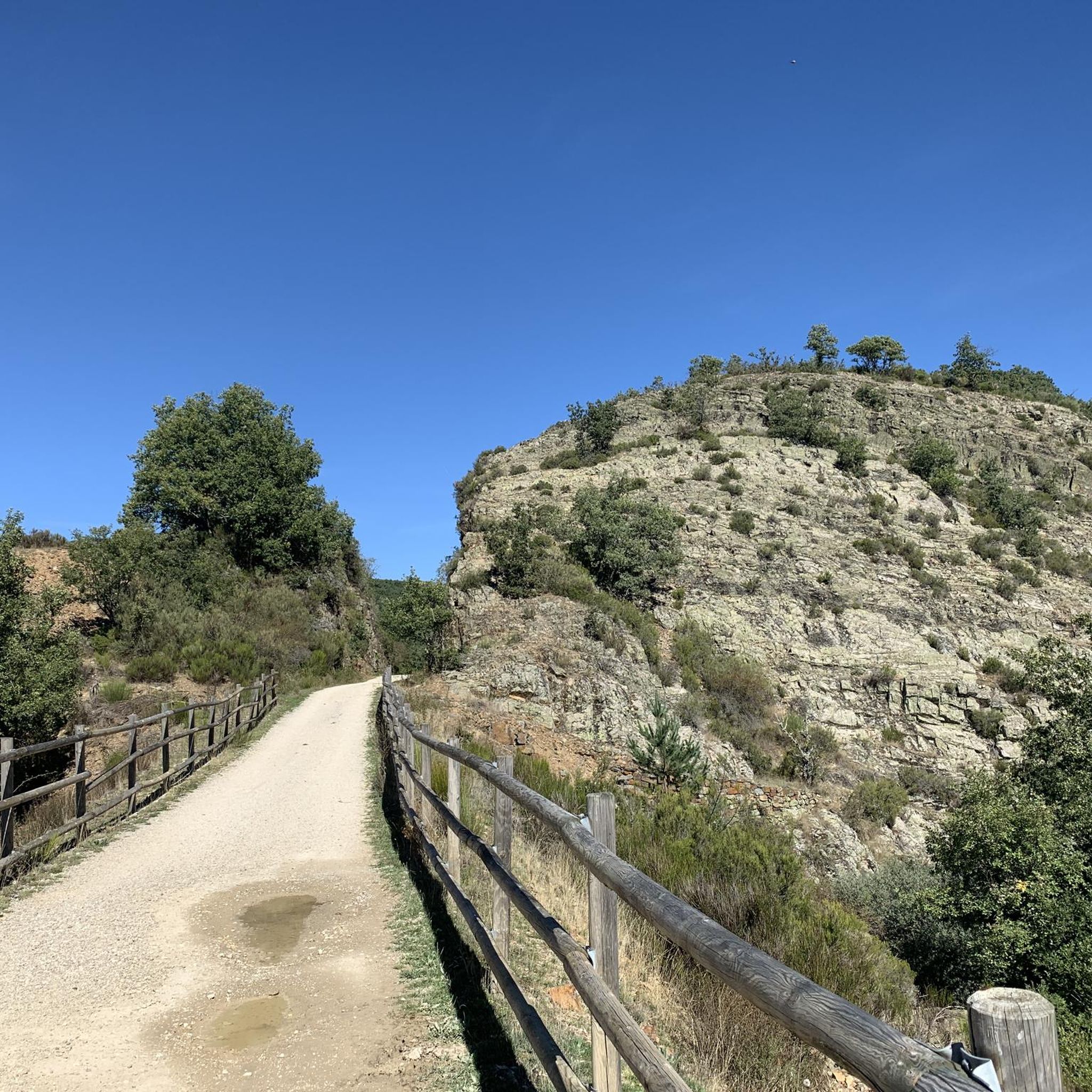
The Mining Railway Trail is part of the Sierra de la Demanda Greenway and follows the old railway line that linked the iron mines with Burgos. The history of the old Sierra de la Demanda mining railway is closely linked to the iron exploitation in this area. Built by the English company The Sierra Company Limited, it began operating in 1901 to transport ore to Burgos and from there to the Basque steelworks, although it never became profitable and closed in 1910. Its tracks were dismantled in 1947, leaving the route unused for decades. At the beginning of the 21st century, the route was reborn as a greenway, part of the Natural Trail Network, and since 2004, it has been an ideal path for hikers and cyclists.
2
0

Crossroads in the heights: One track leads to Ezcaray. A path climbs to San Lorenzo. Another track descends to San Millán de la Cogolla. Another path disappears into the forest, with no exit. And a final track, heading south, soon forks into two: one leads to the Mansilla reservoir, and the other, also full of forks, takes us to Cruz de la Demanda. Choose your own adventure!
0
0

There is always the solution to difficult points: doing them by road.
0
0

There are many routes, both easy and difficult, to choose from. The Sierra is very beautiful, especially in autumn.
0
0
With the mountain route you can go up from Fresneda, reach the Pozo Negro (durillo), and from there to the Cruz de la Demanda, returning to Fresneda by road and passing through the top of La Pradilla.
0
0

An impressive and beautiful bridge over the valley.
1
0
A beautiful area. Ideal for cycling
0
0
Frequently Asked Questions
How many mountain bike trails are available around Comunidad de Barbadillo de Herreros y Vallejimeno?
There are 9 mountain bike trails available around Comunidad de Barbadillo de Herreros y Vallejimeno. These routes range from moderate to difficult, offering diverse experiences for different skill levels.
What kind of terrain can I expect on the mountain bike trails in this region?
The terrain is diverse, ranging from scenic greenways to challenging mountainous paths. You'll encounter high mountain passes, dense forests, and river valleys within the Sierra de la Demanda Natural Space. Some routes, especially the more difficult ones, feature significant elevation gains and technical sections.
Are there any family-friendly mountain bike trails in Comunidad de Barbadillo de Herreros y Vallejimeno?
While many routes in the immediate area are moderate to difficult, the Vía Verde de la Sierra de la Demanda (Greenway) is an excellent option for families. This old railway line offers a relatively easy and scenic path through forests, suitable for various fitness levels and a great way to experience the natural beauty of the area.
What are some notable landmarks or natural features I can see along the mountain bike trails?
You can explore several interesting landmarks and natural features. Highlights include the Puerto del Manquillo mountain pass, the scenic Greenway of the Sierra de la Demanda, and the picturesque Pedroso river waterfall. The region is also known for its stunning glacial lagoons, such as the Glacial Lagoons of Neila, which are a short distance away and can be incorporated into longer rides.
Are there any circular mountain bike routes available?
Yes, there are several circular routes. For example, the Circular por el Espacio Natural de la Sierra de la Demanda is a moderate 29.7 km loop. Another option is the Pineda de la Sierra – Manquillo Pass (1400 m) loop from Barbadillo de Herreros, which covers 47.0 km.
What is the best season for mountain biking in Comunidad de Barbadillo de Herreros y Vallejimeno?
The Sierra de la Demanda region is generally best for mountain biking from spring through autumn. During these seasons, the weather is more stable, and trails are typically clear of snow, offering pleasant conditions for riding through forests and over mountain passes. Winter can bring snow and colder temperatures, making some higher-altitude routes challenging or impassable.
What do other mountain bikers say about the trails in Comunidad de Barbadillo de Herreros y Vallejimeno?
The mountain bike trails in Comunidad de Barbadillo de Herreros y Vallejimeno are highly rated by the komoot community, with an average score of 4.8 stars. Riders often praise the diverse landscapes, from challenging mountain ascents to scenic greenways, and the opportunity to explore the natural beauty of the Sierra de la Demanda.
Are dogs allowed on the mountain bike trails?
Generally, dogs are welcome on trails in natural areas like the Sierra de la Demanda, especially if kept on a leash to protect wildlife and ensure the safety of other users. However, it's always advisable to check specific local regulations or signage for any protected areas or private lands you might cross.
How long do mountain bike trails typically take to complete in this area?
Trail durations vary significantly based on distance, elevation, and your pace. For example, a moderate route like the Circular por el Espacio Natural de la Sierra de la Demanda typically takes around 2 hours 48 minutes, while a more difficult and longer trail such as the Sierra de la Demanda Greenway – Pineda de la Sierra loop from Barbadillo de Herreros can take approximately 4 hours 40 minutes.
Are there any challenging routes for experienced mountain bikers?
Yes, the region offers several challenging routes. The Sierra de la Demanda Greenway – Pineda de la Sierra loop from Barbadillo de Herreros is a difficult 72.5 km path with significant elevation. Another demanding option is the La Rasilla Viewpoint – Cruz de la Demanda Pass loop from Barbadillo de Herreros, which features over 1000 meters of ascent.
Is there public transport available to reach the mountain bike trails?
Public transport options directly to trailheads in the Sierra de la Demanda Natural Space, especially in smaller communities like Barbadillo de Herreros, can be limited. It's recommended to check local bus schedules in advance or consider driving to the starting points. Some larger towns in the region may have better connections.
Where can I find parking for mountain biking in the area?
Parking is generally available in the villages that serve as starting points for many routes, such as Barbadillo de Herreros. Look for designated parking areas or inquire locally upon arrival. For routes along the Vía Verde, there are often small parking lots at access points.
Most popular routes around Comunidad de Barbadillo de Herreros y Vallejimeno
Most popular attractions around Comunidad de Barbadillo de Herreros y Vallejimeno

Get inspired with the komoot mobile app


Explore more
Browse the best MTB trails in other regions.
