The best mountain hikes around Réserve naturelle des Hauts de Chartreuse
4.7
(24)
250
hikers
26
hikes
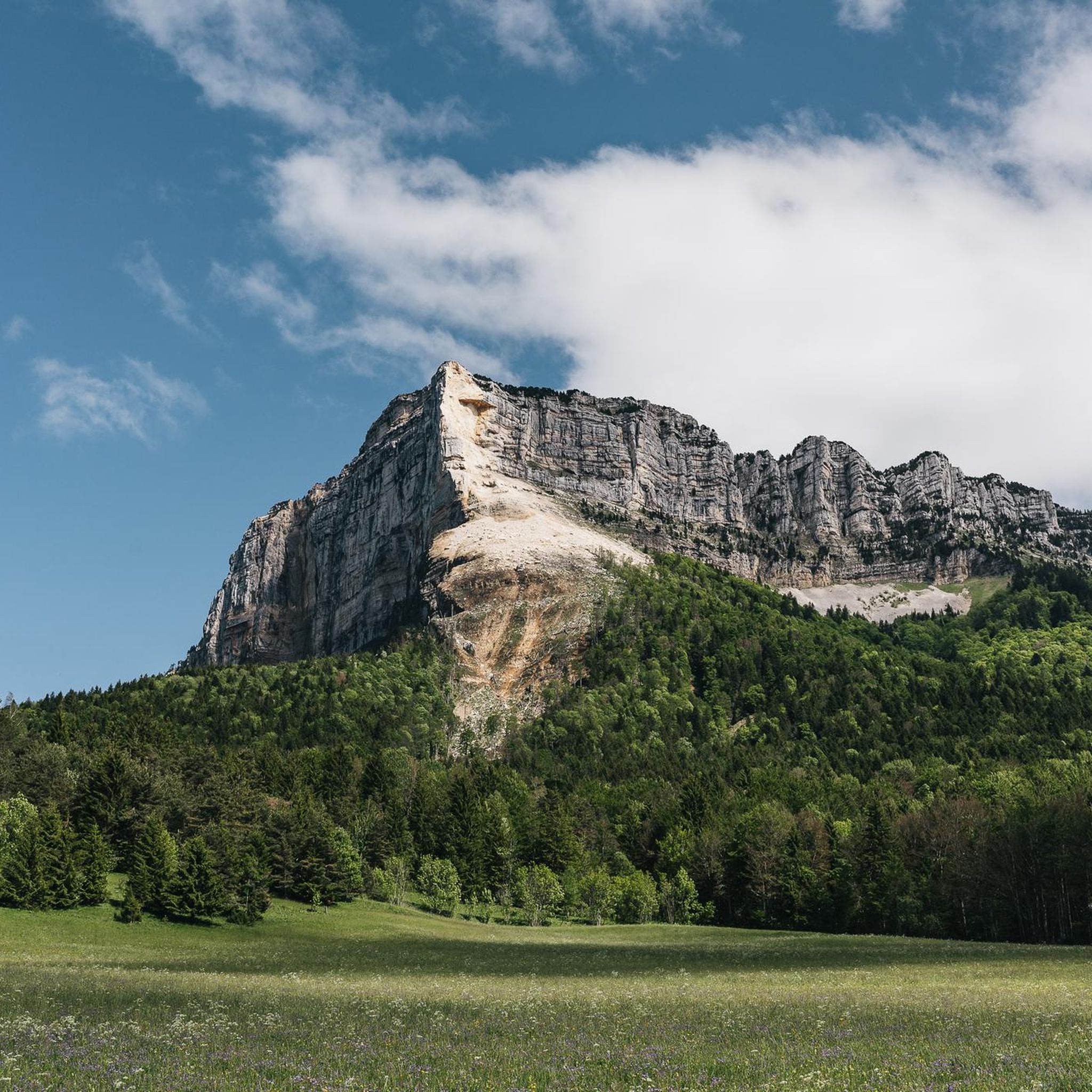
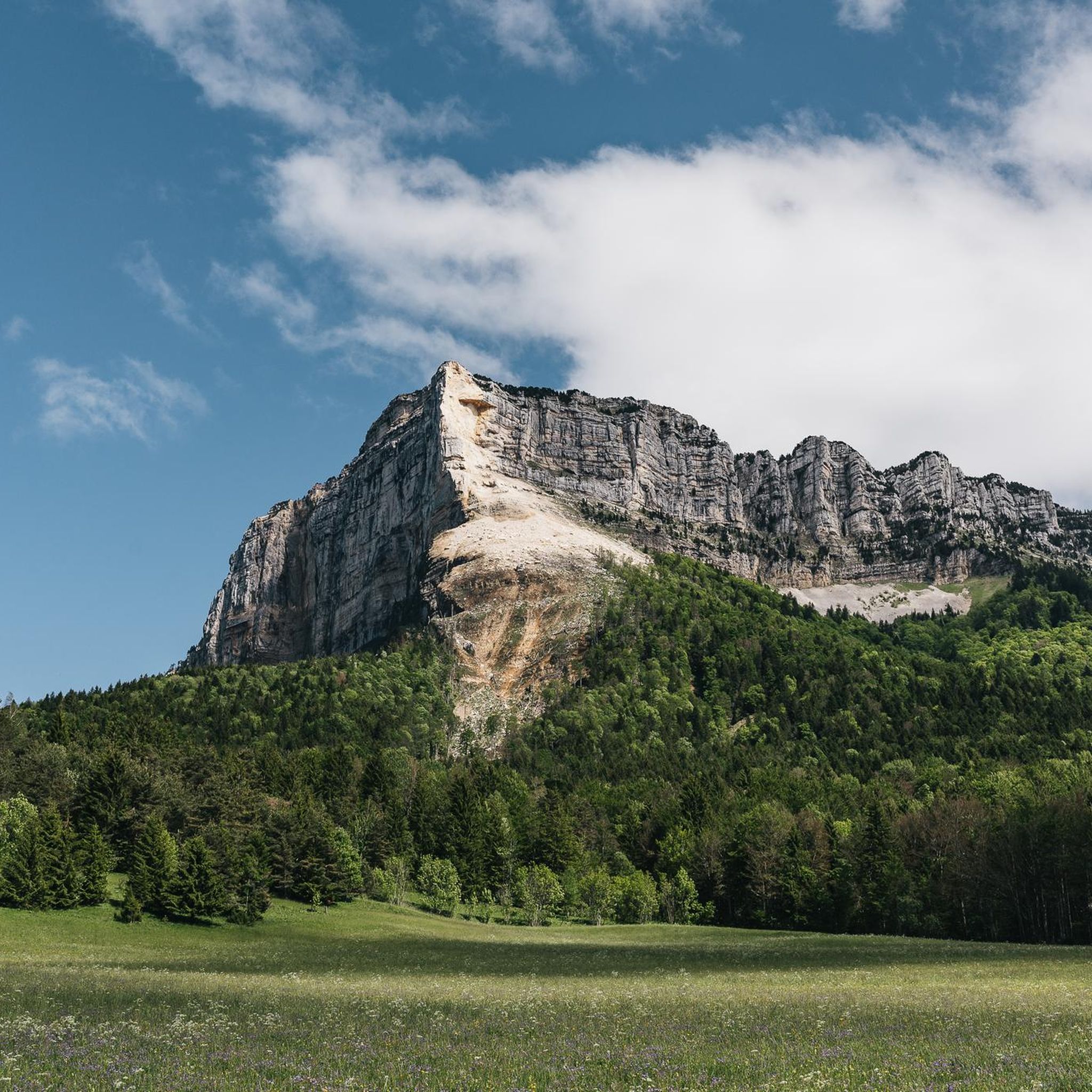
Mountaineering routes around Réserve naturelle des Hauts de Chartreuse traverse a landscape characterized by dramatic limestone formations and a vast rocky plateau. This region, part of the French Prealps, features towering cliffs, extensive karst topography with fissures and scree slopes, and diverse mountain and subalpine environments. Ancient forests, alpine pastures, and rocky outcrops define the terrain, offering challenging ascents to prominent summits.
Best mountaineering routes around Réserve naturelle des Hauts de Chartreuse
- The most popular mountaineering route is Le pas…
Last updated: July 1, 2026
5.0
(1)
16
hikers
6.52km
03:46
630m
620m
Hard mountaineering route. Good fitness required. Sure-footedness, sturdy shoes and alpine experience required.
5.0
(1)
4
hikers
5.05km
02:06
320m
320m
Moderate mountaineering route. Good fitness required. Mostly accessible paths. Sure-footedness required.

Sign up for free
5.0
(1)
6
hikers
5.40km
02:36
390m
390m
Moderate mountaineering route. Good fitness required. Mostly accessible paths. Sure-footedness required.
4
hikers
7.29km
02:58
410m
410m
Hard mountaineering route. Good fitness required. Sure-footedness, sturdy shoes and alpine experience required.
11
hikers
9.98km
05:12
860m
860m
Hard mountaineering route. Very good fitness required. Sure-footedness, sturdy shoes and alpine experience required.
Get access to more routes and recommendations from other explorers.
Sign up for free
Already have an account?
Our route recommendations are based on thousands of hikes, rides, and runs completed by other people on komoot.
Start today with a free account
Your next adventure awaits.
Login or Signup
Popular around Réserve naturelle des Hauts de Chartreuse
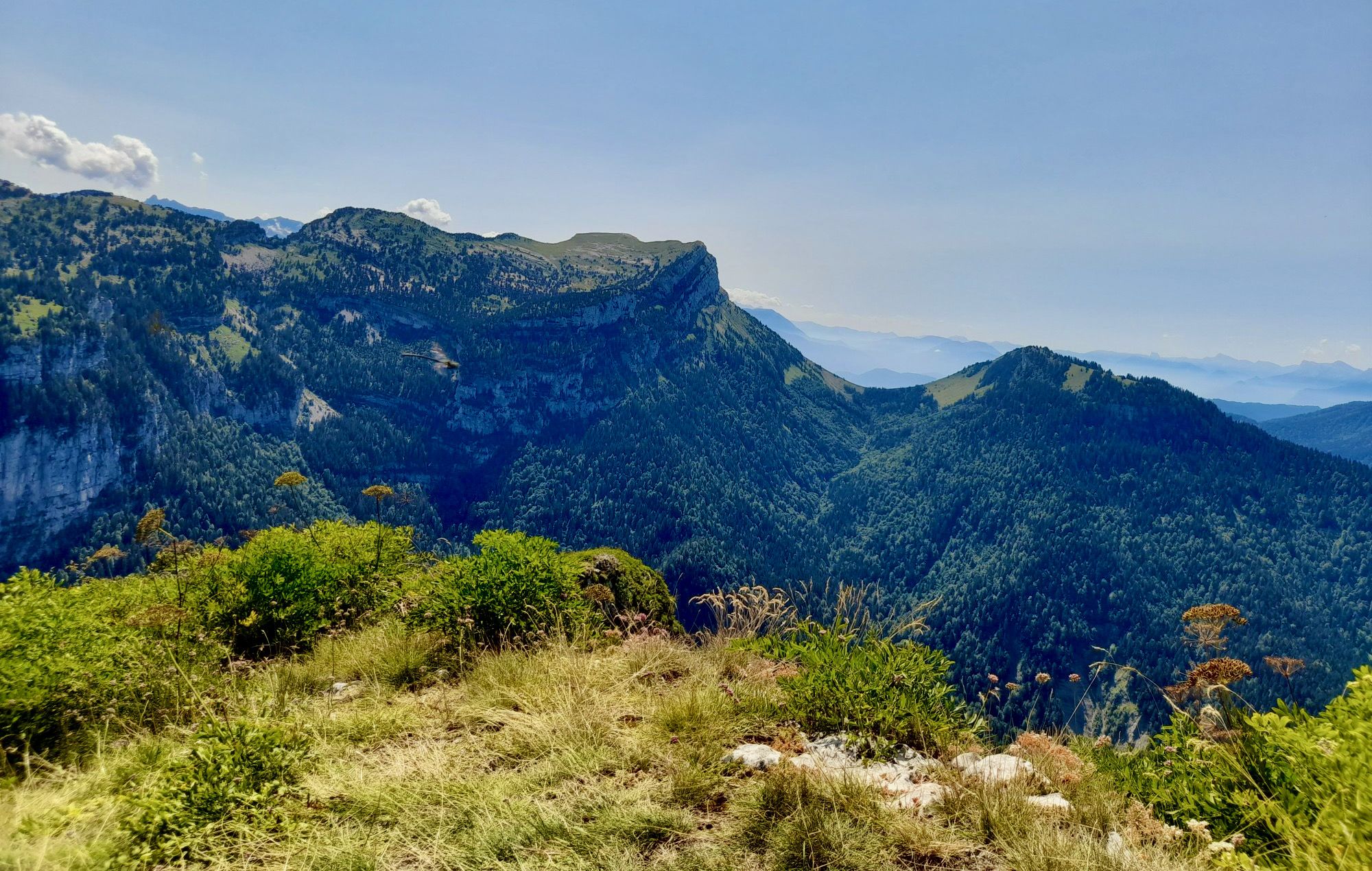
From Chambéry to Grenoble — the Trans-Chartreuse in France
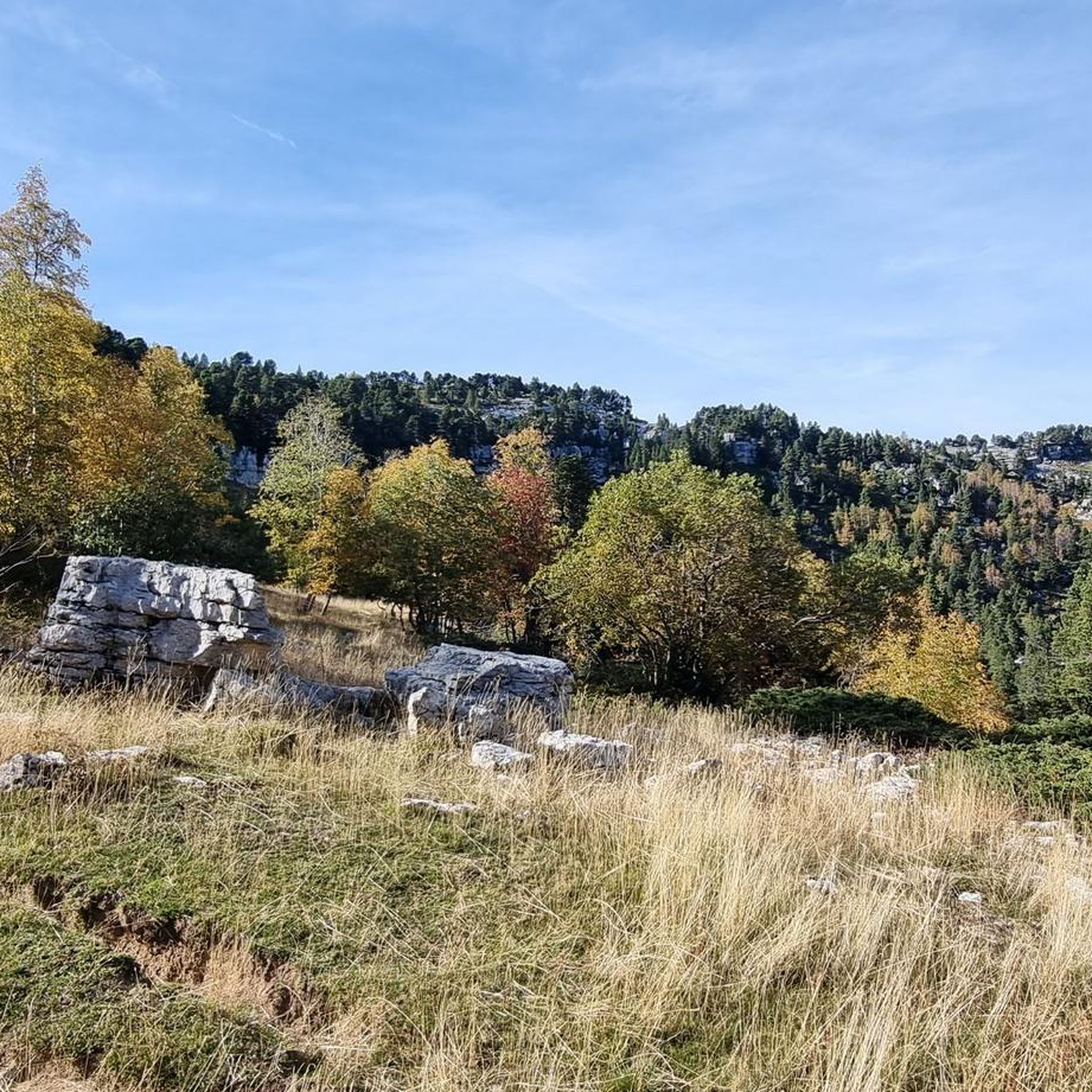
Running Trails around Réserve naturelle des Hauts de Chartreuse
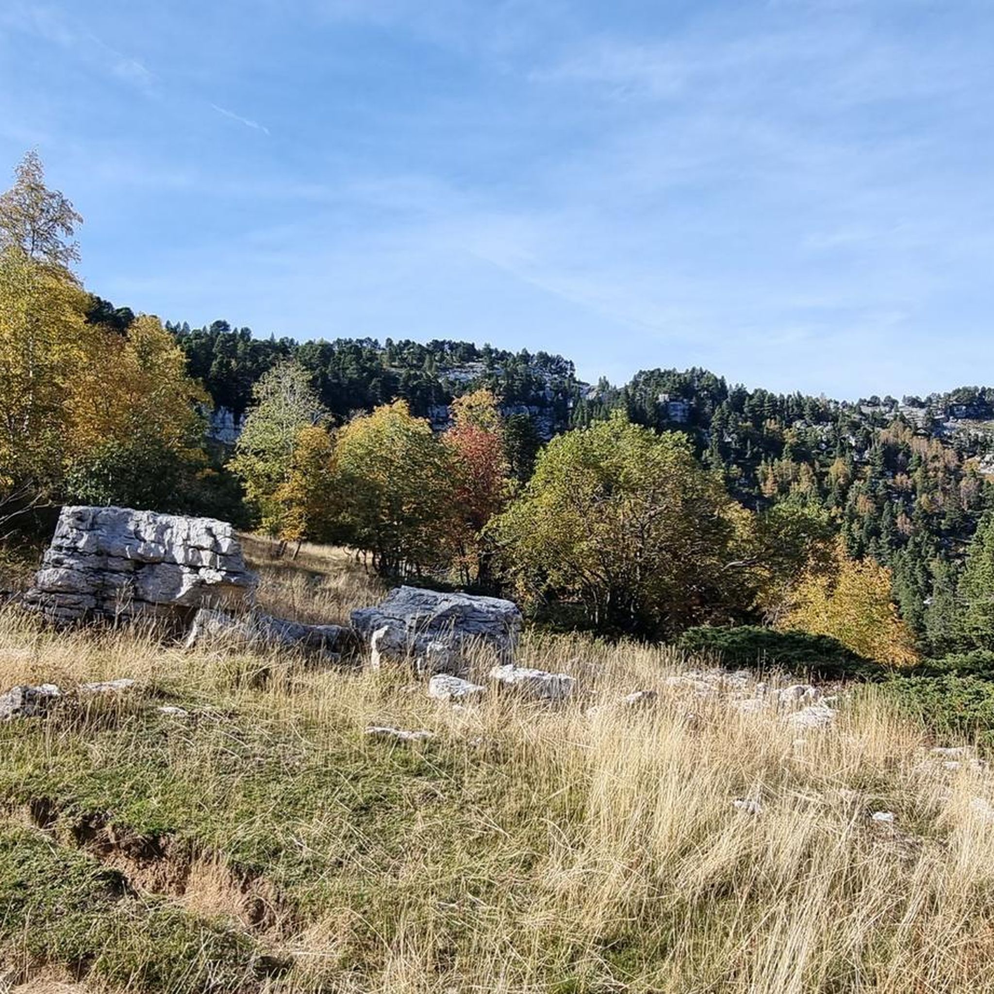
Cycling around Réserve naturelle des Hauts de Chartreuse
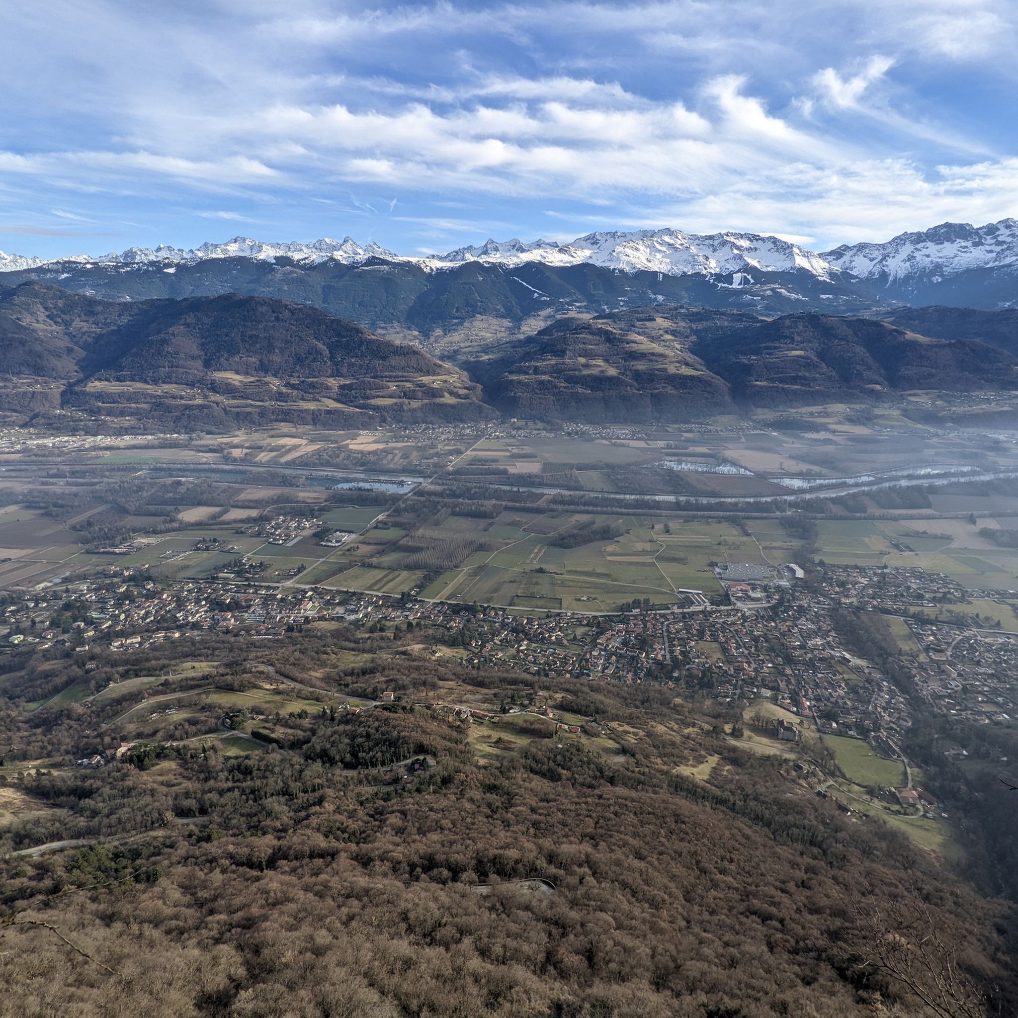
Hiking around Réserve naturelle des Hauts de Chartreuse
Road Cycling Routes around Réserve naturelle des Hauts de Chartreuse
MTB Trails around Réserve naturelle des Hauts de Chartreuse
Gravel biking around Réserve naturelle des Hauts de Chartreuse
Other adventures around Réserve naturelle des Hauts de Chartreuse

Tips from the Community

Proper climb from Chambery, beautiful views of the Chartreuse.
0
0

The cross of the Aulp du seuil is located at 1825m above the cirque and marks the entrance to the high plateaus.
0
0

Warning: The climb from the east side is extremely steep! An average gradient of around 10% over 9-10 km.
2
0
Exceptional site at the foot of the Dent de Crolle with access via a wild forest road
2
0

Beautiful rock formation. Here is one of the steepest sections
0
0
There's still a lot to do if you want to climb the Dent de Crolles :)
0
0
A stunning summit with views of Mont Blanc. The two climbs from the Col des Ayes are relatively steep, but steel cables are installed at the more dangerous sections. The climb north via the Trou du Glaz is a bit longer and a bit easier. The climb east is a bit steeper and more exposed. The view is good, though.
1
0

Very good and quite accessible as a pass. Be careful of overtaking cars.
1
2
Frequently Asked Questions
How many mountaineering routes are available in Réserve naturelle des Hauts de Chartreuse?
The Réserve naturelle des Hauts de Chartreuse offers a wide selection of mountaineering routes, with over 30 tours available for exploration. These routes cater to various skill levels, from moderate ascents to more demanding expeditions.
What is the best time of year for mountaineering in the Réserve naturelle des Hauts de Chartreuse?
The warmer months, typically from late spring through early autumn, are ideal for mountaineering in the Hauts de Chartreuse. During winter, the plateau transforms, offering opportunities for ski touring and snowshoeing, but requiring different equipment and expertise.
What kind of terrain can I expect on mountaineering routes in the Chartreuse massif?
Mountaineering in this region is characterized by dramatic limestone formations and a vast rocky plateau. You'll encounter extensive karst topography with fissures, scree slopes, and distinctive limestone towers. The terrain also features diverse mountain and subalpine environments, including ancient forests, alpine pastures, and rocky outcrops.
Are there any moderate mountaineering routes in the Réserve naturelle des Hauts de Chartreuse?
Yes, there are several moderate mountaineering routes. For example, the Col des Ayes loop from Saint-Pancrasse is a moderate 5 km route, and the Pas de Belles Ombres loop from Sainte-Marie-du-Mont is another moderate option, covering about 5.3 km.
Can I find challenging multi-day treks in the Hauts de Chartreuse?
Yes, for those seeking longer adventures, the Réserve naturelle des Hauts de Chartreuse is traversed by trails like the GR9, which connects cities such as Grenoble and Chambéry. These multi-day treks offer an immersive experience through the massif's diverse landscapes.
Are there circular mountaineering routes available?
Absolutely. Many routes in the region are circular, allowing you to return to your starting point. Popular options include the challenging Le pas de l'œil – Dent de Crolles loop from Saint-Pancrasse and the scenic Mont Granier – Col de l'Alpette loop from Parking de la Plagne.
What natural features or landmarks can I see along the mountaineering routes?
The region is rich in natural wonders. You can encounter impressive karst landscapes, towering cliffs, and panoramic viewpoints offering vistas of surrounding Alpine ranges, sometimes even Mont Blanc. Notable summits like Dent de Crolles and Mont Granier Summit Cross are prominent landmarks. You might also discover unique geological formations like the Narrow Passage with Balanced Boulder.
Are there any routes that feature waterfalls?
Yes, the region is home to several gorges and waterfalls. A particularly well-known spot is the Saint-Même Cirque Waterfalls, which are part of a popular circular route and offer a spectacular natural display.
Is public transport available to access mountaineering trailheads in the Chartreuse mountains?
While specific public transport options to every trailhead can vary, the Chartreuse massif is situated between Grenoble and Chambéry, which are well-served by public transport. Some villages within the park may have bus connections, but direct access to all remote trailheads often requires a car. It's advisable to check local transport schedules for specific starting points.
What do other mountaineers enjoy most about the routes in Réserve naturelle des Hauts de Chartreuse?
The routes in Réserve naturelle des Hauts de Chartreuse are highly rated by the komoot community, with an average score of 4.7 stars. Reviewers often praise the dramatic limestone formations, the challenging yet rewarding ascents to prominent summits like Dent de Crolles, and the breathtaking panoramic views of the surrounding Alpine ranges.
Are there opportunities for wildlife spotting while mountaineering?
The preserved status of the Réserve naturelle des Hauts de Chartreuse means it's home to a rich array of flora and fauna. Mountaineers and hikers might encounter chamois, ibex, and various bird species, including golden eagles and black grouse, adding to the wilderness experience.
Are there any specific permits required for mountaineering in the Réserve naturelle des Hauts de Chartreuse?
Generally, no specific permits are required for hiking or mountaineering on marked trails within the Réserve naturelle des Hauts de Chartreuse. However, as a protected area, it's crucial to respect all regulations, stay on marked paths, and avoid disturbing wildlife or vegetation. For detailed information on regulations, you can consult the official park website: Réserve naturelle des Hauts de Chartreuse.
Most popular routes around Réserve naturelle des Hauts de Chartreuse
Most popular attractions around Réserve naturelle des Hauts de Chartreuse

Get inspired with the komoot mobile app


Explore more
Browse the best Mountain Hikes & Routes in other regions.
