The best walks and hikes around Réserve naturelle des Hauts de Chartreuse
4.5
(3675)
38,117
hikers
26
hikes
Hiking around Réserve naturelle des Hauts de Chartreuse offers diverse trails through a protected alpine environment. The region is characterized by its dramatic limestone peaks, deep valleys, and extensive forests, providing varied terrain for hikers. These natural features contribute to a landscape rich in biodiversity and scenic viewpoints. The trails often traverse mountain passes and lead to elevated points, showcasing the rugged beauty of the Chartreuse Massif.
Best hiking trails around Réserve naturelle des Hauts de Chartreuse
- The most popular…
Last updated: July 1, 2026
5.0
(3)
73
hikers
6.21km
02:35
400m
400m
Hard hike. Good fitness required. Sure-footedness, sturdy shoes and alpine experience required.
4.0
(7)
26
hikers
7.85km
03:18
450m
450m
Hard hike. Good fitness required. Sure-footedness, sturdy shoes and alpine experience required.

Sign up for free
5.0
(5)
36
hikers
10.0km
04:20
510m
510m
Hard hike. Good fitness required. Sure-footedness, sturdy shoes and alpine experience required.
5.0
(2)
19
hikers
5.28km
01:41
160m
160m
Moderate hike. Great for any fitness level. Mostly accessible paths. Sure-footedness required.
4.5
(4)
61
hikers
6.76km
03:00
450m
450m
Moderate hike. Good fitness required. Mostly accessible paths. Sure-footedness required.
Get access to more routes and recommendations from other explorers.
Sign up for free
Already have an account?
Our route recommendations are based on thousands of hikes, rides, and runs completed by other people on komoot.
Start today with a free account
Your next adventure awaits.
Login or Signup
Popular around Réserve naturelle des Hauts de Chartreuse
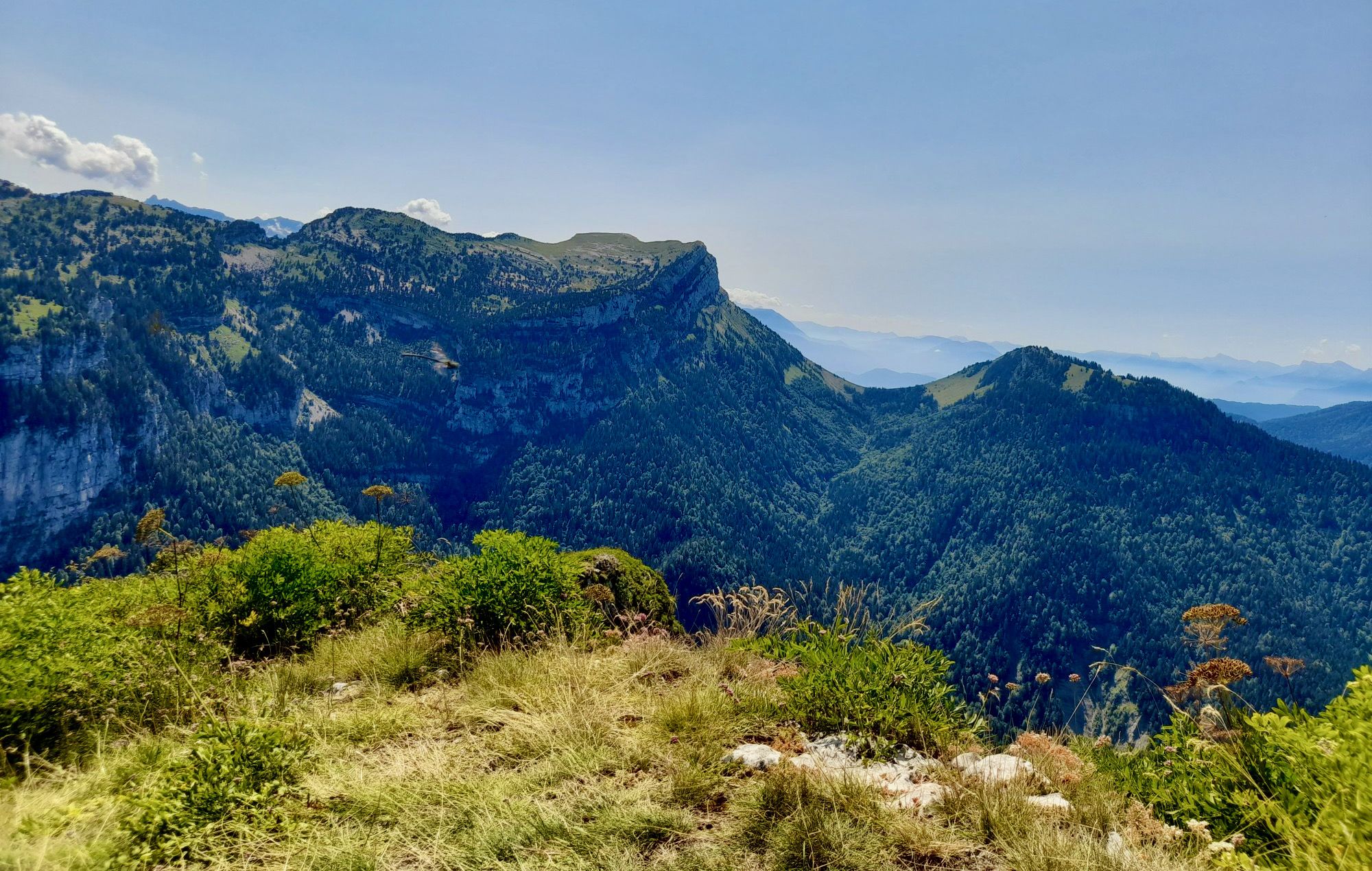
From Chambéry to Grenoble — the Trans-Chartreuse in France
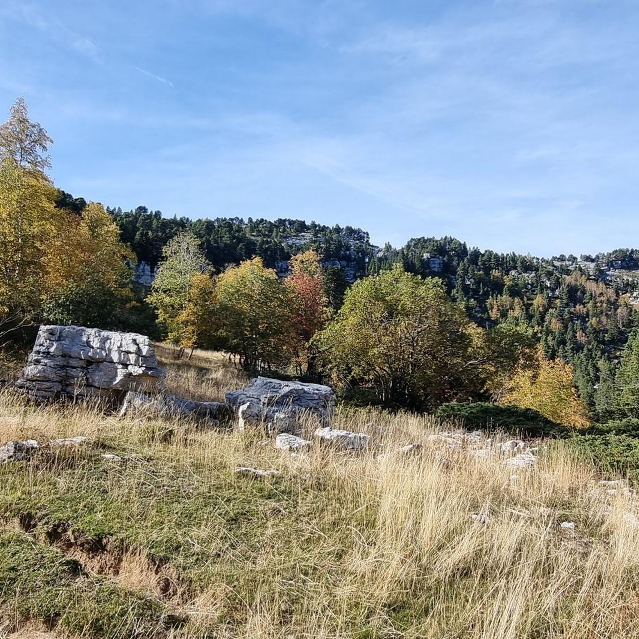
Running Trails around Réserve naturelle des Hauts de Chartreuse
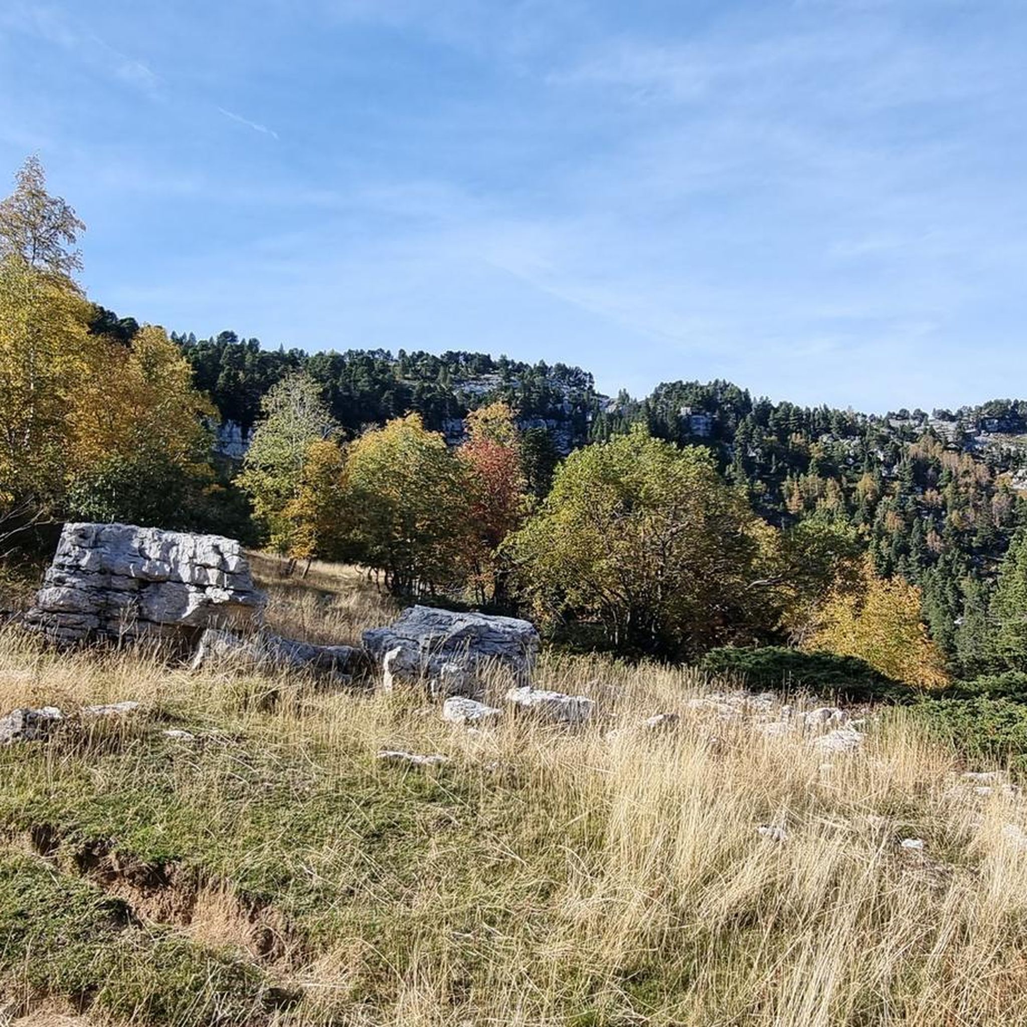
Cycling around Réserve naturelle des Hauts de Chartreuse
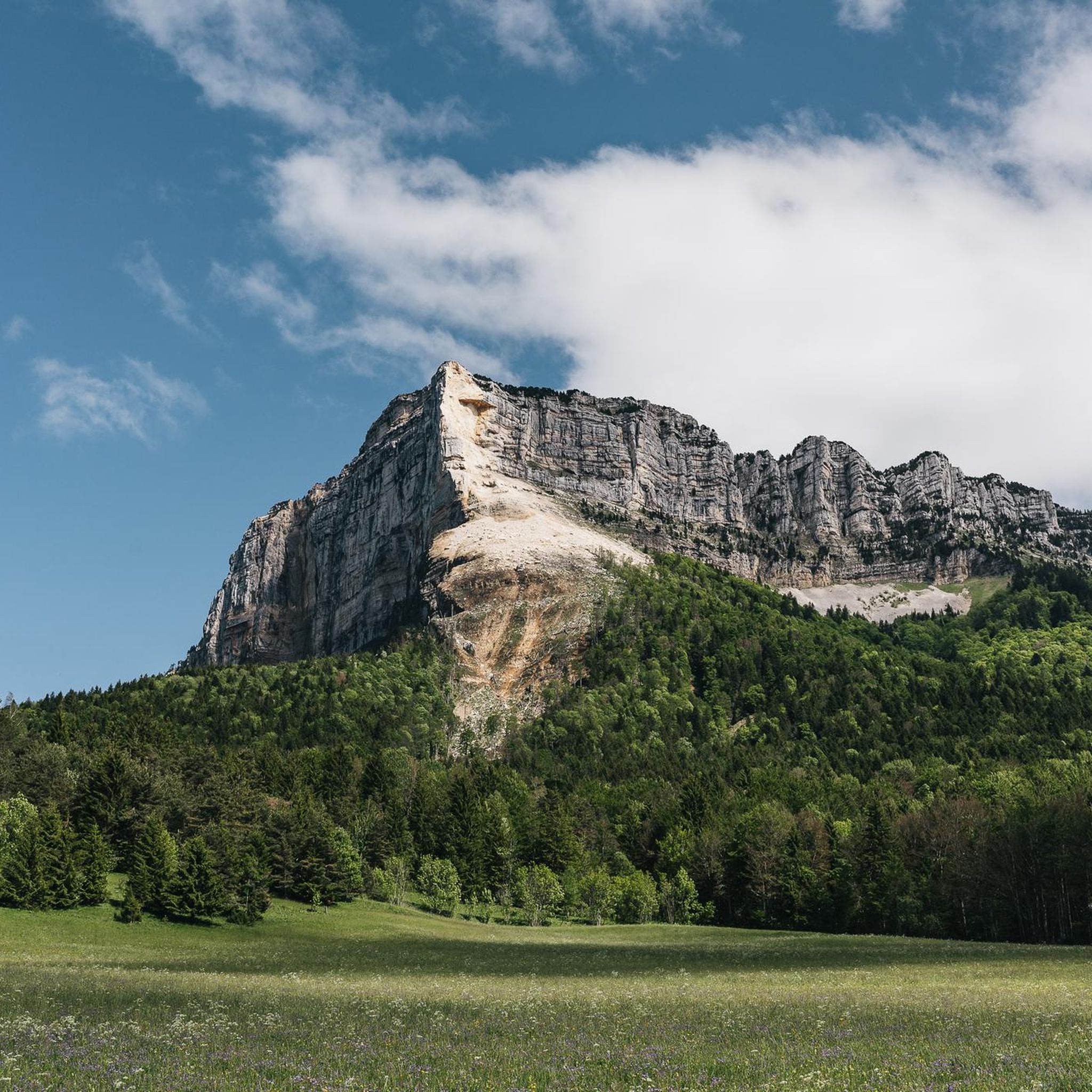
Road Cycling Routes around Réserve naturelle des Hauts de Chartreuse
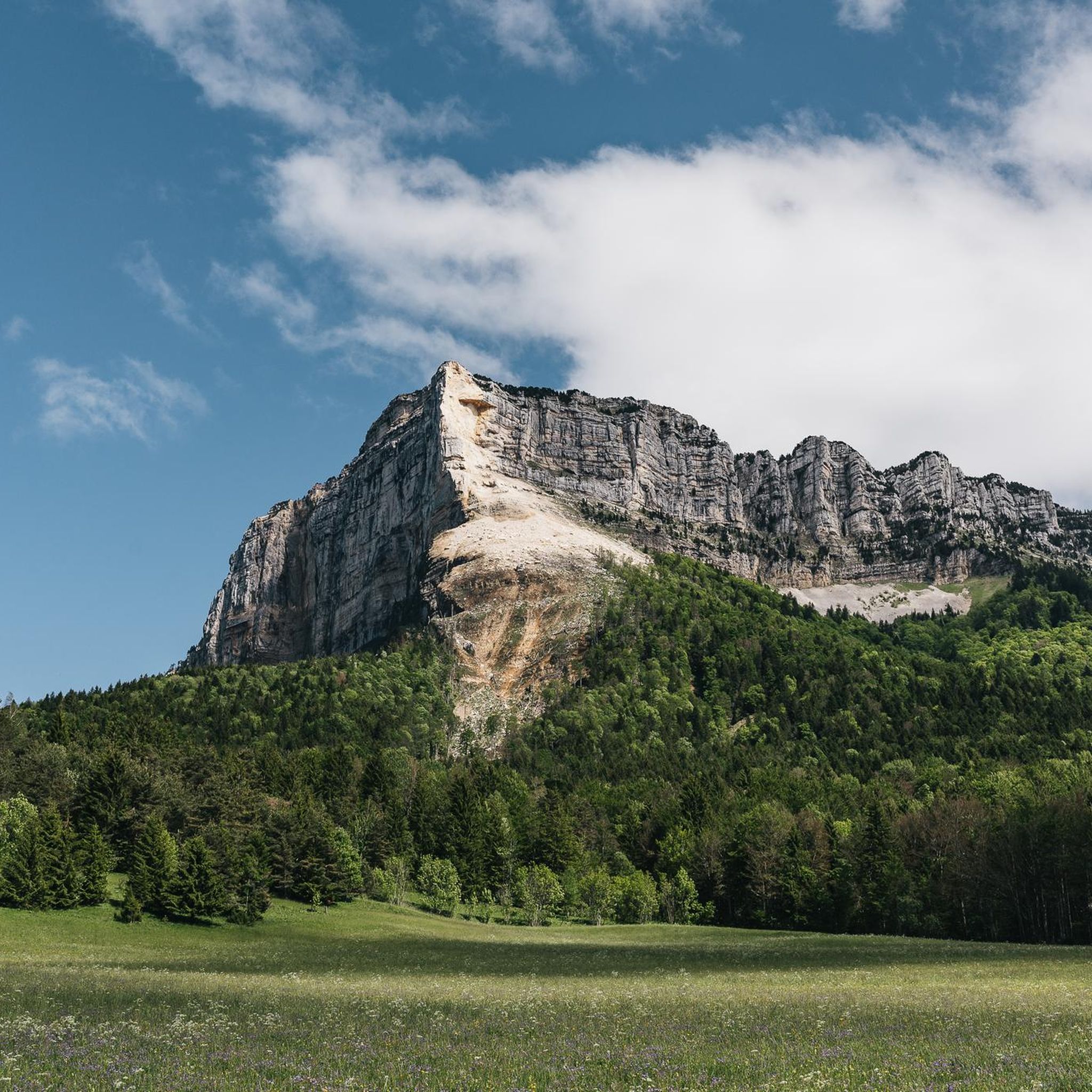
MTB Trails around Réserve naturelle des Hauts de Chartreuse

Mountain Hikes around Réserve naturelle des Hauts de Chartreuse
Gravel biking around Réserve naturelle des Hauts de Chartreuse
Other adventures around Réserve naturelle des Hauts de Chartreuse

Tips from the Community

Proper climb from Chambery, beautiful views of the Chartreuse.
0
0

Warning: The climb from the east side is extremely steep! An average gradient of around 10% over 9-10 km.
2
0

Very good and quite accessible as a pass. Be careful of overtaking cars.
1
2

From Saint Pierre you pass through Entrement le veux and arrive at the top of Col de Granier, if you take the first right towards Col de Marcieu until Saint Hillaire de Touvet and descend into the valley to Grenoble, very calm, rolling and bucolic
0
0

As you climb up to the Col de l'Alpe, you will find a summit cross dating from the early 20th century. Erected in 1926, it was built to commemorate local climbers and hikers who lost their lives in the Alps.
2
0

Perched at an altitude of 1,799 meters under the rocks of Belles Ombres, the pass is one of the gateways to the Hauts de Chartreuse nature reserve. A few meters from the pass is the cross of the same name.
1
0

The Col du Granier is a mountain pass in the Alps in the Savoy department of France that crosses the Chartreuse Mountains to connect the villages of Entremont-le-Vieux, Apremont and Chapareillan. It is one of the most important mountain passes in the Tour de France and one of the toughest that the Alps announce. Its more than 1100 meters can be seen from different points in the Gresivaudan valley and its neighboring mountain of Les Bages.
2
0

Frequently Asked Questions
How many hiking trails are available in Réserve naturelle des Hauts de Chartreuse?
The Réserve naturelle des Hauts de Chartreuse offers a wide variety of hiking experiences, with over 25 trails documented on komoot. These range from moderate paths to more challenging routes, catering to different skill levels.
Are there easy hiking options for beginners or casual walkers?
While many trails in the Réserve naturelle des Hauts de Chartreuse are rated moderate to difficult due to the alpine terrain, there is at least one easy route available. For a more relaxed experience, consider exploring the lower-altitude paths or shorter sections of moderate trails.
What are some challenging trails for experienced hikers in the Réserve naturelle des Hauts de Chartreuse?
For experienced hikers seeking a challenge, the Réserve naturelle des Hauts de Chartreuse boasts 15 difficult trails. One notable option is the Granier Pass – Pointe de la Gorgeat loop from Col du Granier, which covers 7.0 miles (11.3 km) with significant elevation gain, offering expansive vistas of the surrounding peaks and valleys.
Are there any circular hiking routes in the Réserve naturelle des Hauts de Chartreuse?
Yes, many trails in the Réserve naturelle des Hauts de Chartreuse are designed as loops, allowing you to start and end at the same point. An example is the Granier Pass – Mount Joigny loop from Col du Granier, a 3.9-mile (6.2 km) trail through alpine forests and open ridges.
What kind of views can I expect on hikes in the Réserve naturelle des Hauts de Chartreuse?
Hikers can expect dramatic and panoramic views of limestone peaks, deep valleys, and extensive forests. Many trails lead to elevated points and mountain passes, offering stunning vistas of the Chartreuse Massif. Highlights like Granier Pass and Dent de Crolles provide exceptional viewpoints.
Are there any waterfalls to see along the hiking trails?
Yes, the region features beautiful natural attractions. You can visit the Saint-Même Cirque Waterfalls, a spectacular series of cascades that are a popular highlight in the area, often accessible via dedicated trails.
Is the Réserve naturelle des Hauts de Chartreuse suitable for family hikes?
The Réserve naturelle des Hauts de Chartreuse offers trails that can be suitable for families, especially those with some hiking experience. Look for shorter, less strenuous routes or those with moderate difficulty. Always check the trail's distance and elevation gain to ensure it matches your family's capabilities.
Can I bring my dog on the hiking trails in Réserve naturelle des Hauts de Chartreuse?
The Réserve naturelle des Hauts de Chartreuse is a protected area, and regulations regarding dogs can vary. Generally, dogs are permitted on leash on many trails, but it's crucial to respect local signage and rules, especially concerning wildlife protection and grazing animals. Always keep your dog under control.
What is the best season for hiking in the Réserve naturelle des Hauts de Chartreuse?
The best season for hiking in the Réserve naturelle des Hauts de Chartreuse is typically from late spring (May/June) through early autumn (September/October). During these months, the weather is generally mild, trails are clear of snow, and the alpine flora is vibrant. Summer offers warmer temperatures, while autumn brings stunning fall foliage.
Is winter hiking possible in the Réserve naturelle des Hauts de Chartreuse?
Winter hiking is possible but requires appropriate gear and experience due to snow and ice conditions. Many trails become suitable for snowshoeing or ski touring. Always check weather forecasts, avalanche warnings, and trail conditions before heading out in winter, and consider guided tours for safety.
Where can I find parking for trailheads in the Réserve naturelle des Hauts de Chartreuse?
Many popular trailheads, such as those near Col du Granier, offer designated parking areas. It's advisable to arrive early, especially during peak season, as parking can fill up quickly. Some smaller trailheads might have limited parking, so planning your starting point in advance is recommended.
What do other hikers enjoy the most about hiking in Réserve naturelle des Hauts de Chartreuse?
The area is highly rated by the komoot community, with an average score of 4.5 stars from over 1000 reviews. Reviewers often praise the stunning panoramic views from the peaks, the diverse and well-maintained trails, and the sense of immersion in a protected alpine environment. The variety of routes catering to different fitness levels is also frequently highlighted.
Are there any less crowded hiking options in the Réserve naturelle des Hauts de Chartreuse?
To find less crowded trails, consider hiking during weekdays, outside of peak summer months, or exploring routes that are not among the most frequently mentioned. While the main attractions can be busy, the vastness of the Chartreuse Massif means there are always quieter paths to discover, often by venturing slightly off the most popular routes.
Most popular routes around Réserve naturelle des Hauts de Chartreuse
Most popular attractions around Réserve naturelle des Hauts de Chartreuse

Get inspired with the komoot mobile app


Explore more
Browse the best Hikes in other regions.
