The best running trails around Réserve Naturelle des Contamines-Montjoie
4.5
(75)
8,477
runners
12
runs
Jogging around Réserve Naturelle des Contamines-Montjoie offers diverse landscapes, ranging from 1,100 meters at the village gates to 3,892 meters at Aiguille Nord – Tré la Tête. The region features coniferous forests, high-altitude pastures, peat bogs, streams, and lakes, with the majestic Tré la Tête Glacier dominating the high-mountain landscape. This varied terrain provides a wide range of running experiences across its extensive trail network.
Best jogging routes around Réserve Naturelle des Contamines-Montjoie
- The most popular jogging route is Notre-Dame…
Last updated: July 4, 2026
118
runners
12.2km
01:49
530m
530m
Hard run. Very good fitness required. Sure-footedness, sturdy shoes and alpine experience required.
5.0
(1)
68
runners
9.89km
02:07
800m
800m
Hard run. Very good fitness required. Sure-footedness, sturdy shoes and alpine experience required.

Sign up for free
49
runners
Hard run. Good fitness required. Sure-footedness, sturdy shoes and alpine experience required.
34
runners
26.6km
05:16
1,960m
1,960m
Hard run. Very good fitness required. Sure-footedness, sturdy shoes and alpine experience required.
35
runners
17.7km
03:11
1,080m
1,080m
Hard run. Very good fitness required. Sure-footedness, sturdy shoes and alpine experience required.
Get access to more routes and recommendations from other explorers.
Sign up for free
Already have an account?
Our route recommendations are based on thousands of hikes, rides, and runs completed by other people on komoot.
Start today with a free account
Your next adventure awaits.
Login or Signup
Popular around Réserve Naturelle des Contamines-Montjoie
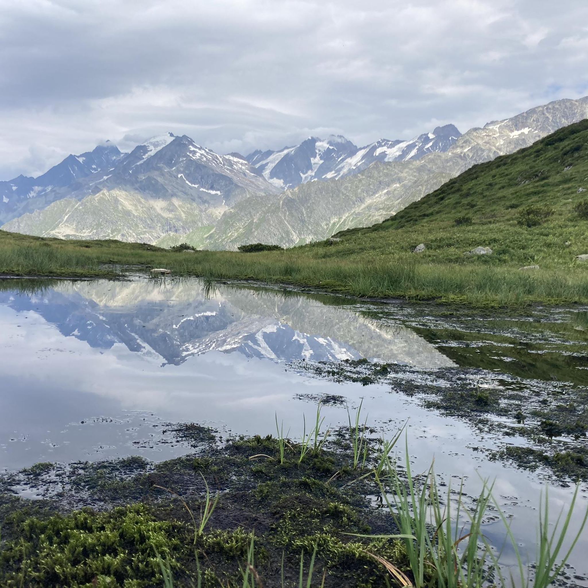
MTB Trails around Réserve Naturelle des Contamines-Montjoie
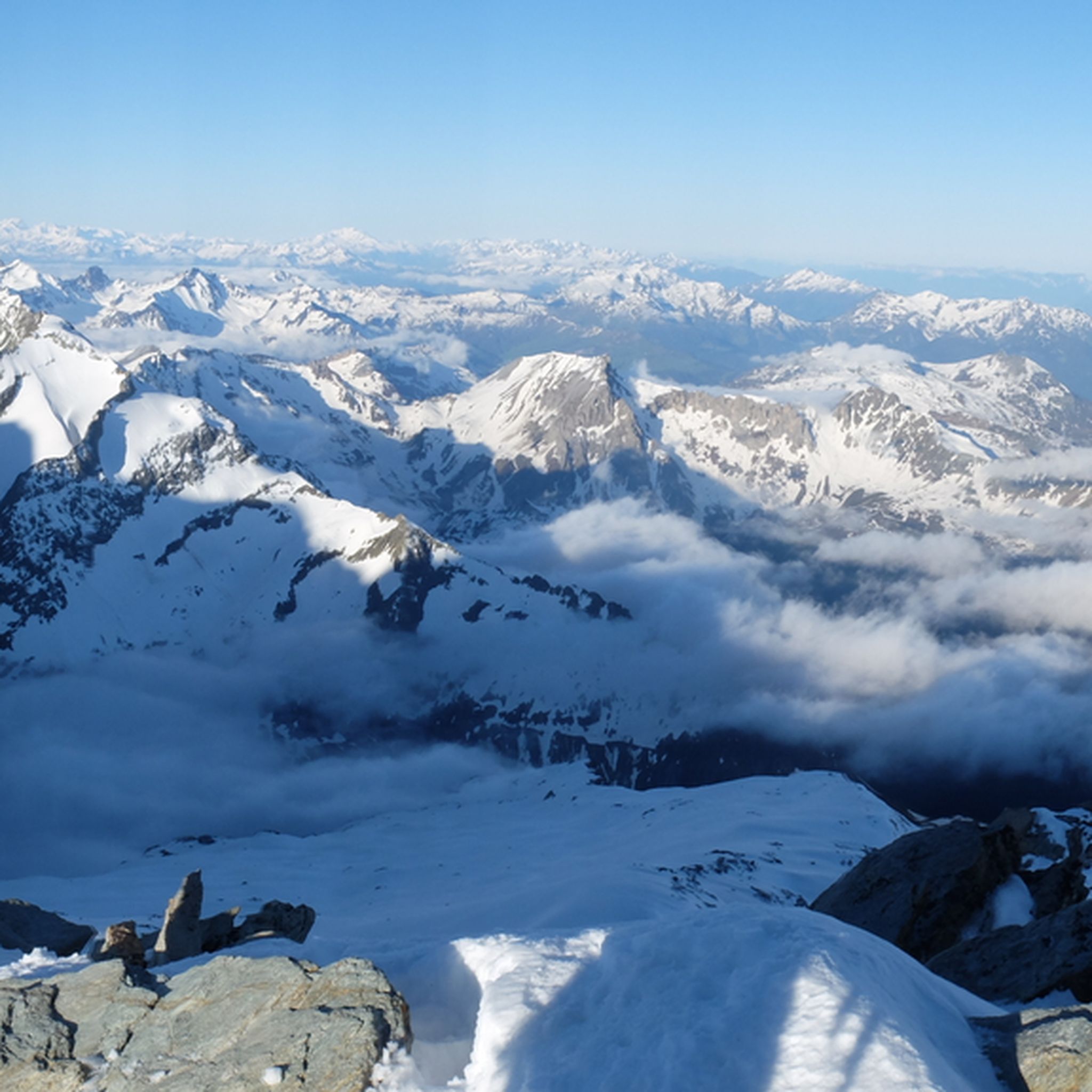
Hiking around Réserve Naturelle des Contamines-Montjoie
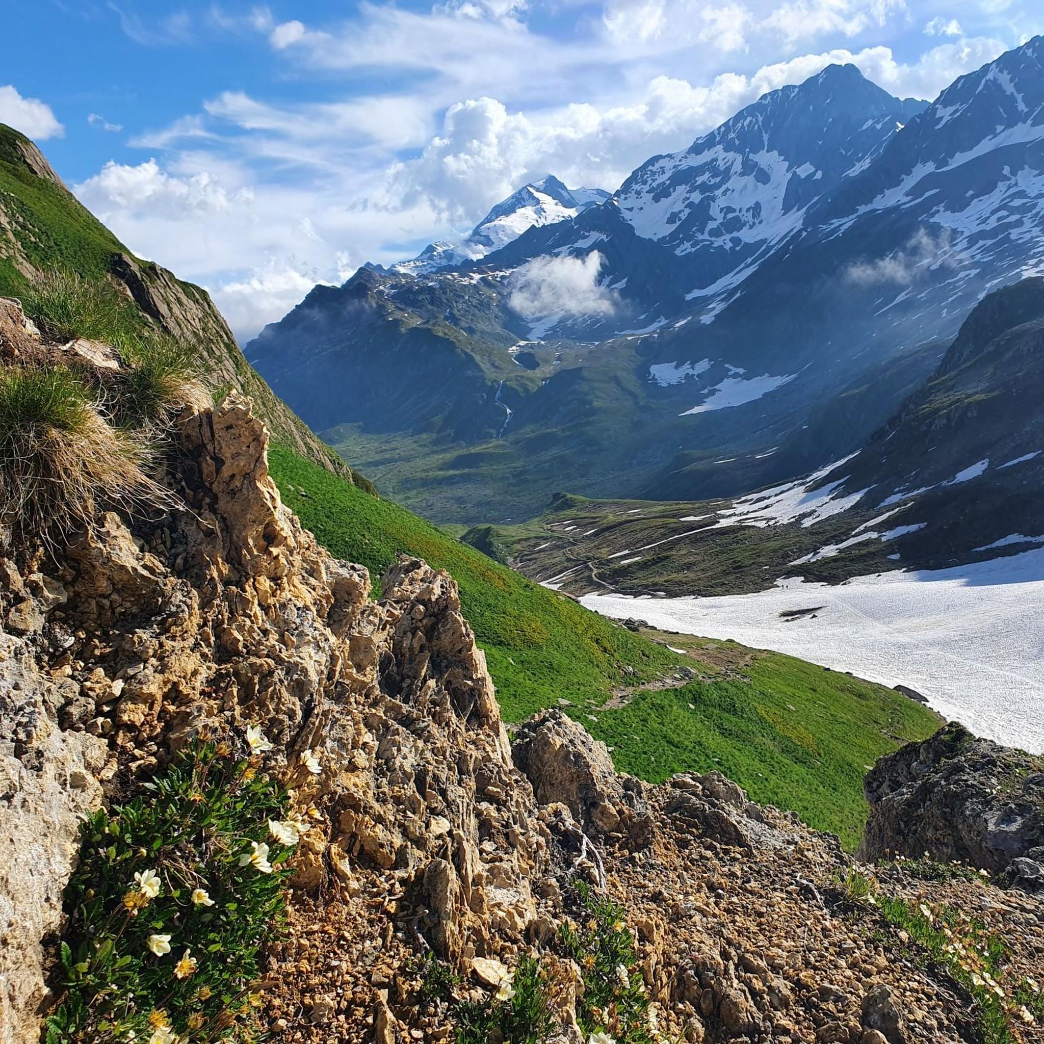
Road Cycling Routes around Réserve Naturelle des Contamines-Montjoie

Mountain Hikes around Réserve Naturelle des Contamines-Montjoie
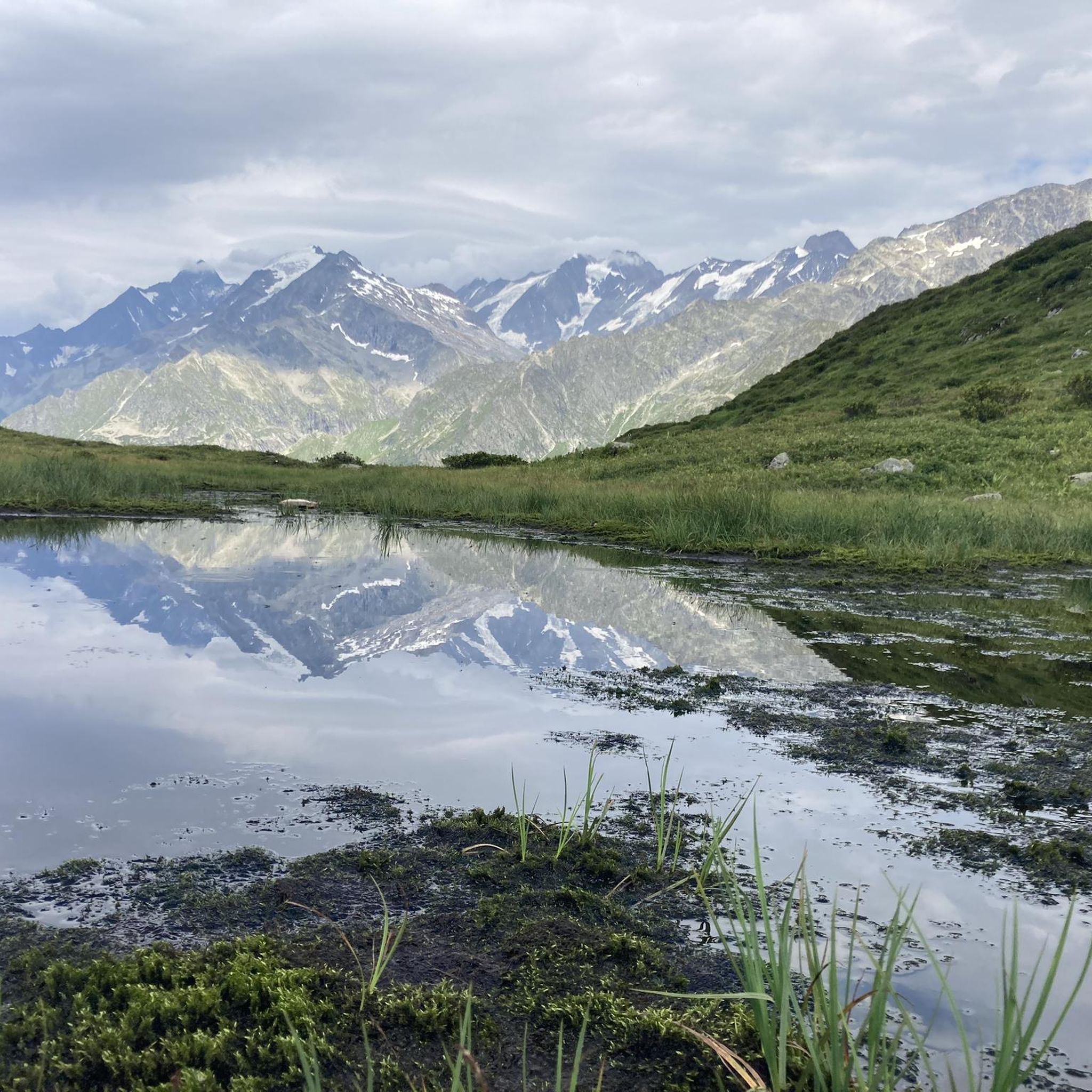
Cycling around Réserve Naturelle des Contamines-Montjoie

Gravel biking around Réserve Naturelle des Contamines-Montjoie
Tips from the Community

Great welcome, I really enjoyed the bougnettes salad ;)
0
0

Great spot for a coffee and a cold drink before tackling Col du Bonhomme or Lacs Jovet. It’s cash only!!
0
0

High altitude refuge on the Mont Blanc tour route
0
0

a very nice hike, be careful at the Col du Joly in bad weather, sudden change in weather, fog arrives and rain very quickly, thought about taking the weather forecast before leaving
1
0
The climb via the Anery is very difficult, steps, roots and stones make the route which is very steep, to be avoided in rainy weather, very slippery path and risk of stream formation as the path is dug by falling rain .
2
0

Easily reachable by pushing from Les Chapieux, from the other side it's only possible to go up through a steep scree and rock group with acrobatics and climbing, partly dangerous
2
0
to marvel at the indescribably beautiful mountain range
2
0
Via the Col du Joly, more pleasant to do on the climb which offers beautiful views, passages a little difficult but less than on the descent, on the other side the descent is done in a scree.
3
1
Frequently Asked Questions
How many running routes are available in Réserve Naturelle des Contamines-Montjoie?
The Réserve Naturelle des Contamines-Montjoie offers a wide selection of running routes, with over 15 trails documented on komoot. These routes cater to various fitness levels, from easy loops to challenging mountain runs.
What kind of terrain can I expect on the jogging trails in Réserve Naturelle des Contamines-Montjoie?
You'll find incredibly diverse terrain, ranging from 1,100 meters at the village gates up to 3,892 meters. Expect to run through coniferous forests, high-altitude pastures, and near streams and lakes. Some routes also offer views of the majestic Tré la Tête Glacier, providing a true alpine running experience.
Are there any easy, family-friendly running routes in the reserve?
Yes, there are easy options suitable for families. A popular choice is the Notre-Dame de la Gorge loop from Les Contamines-Montjoie. This 4.6 km (2.8 miles) route features gentle gradients and is often completed in about 30 minutes, making it ideal for a relaxed run.
What are some notable natural features or landmarks I might see while running?
The reserve is rich in natural beauty and historical sites. You can encounter the picturesque Lacs Jovet, the impressive Tré la Tête Glacier, and diverse ecosystems including alpine meadows and dense forests. Along some routes, you might also pass by the historic Notre-Dame de la Gorge or the ancient Roman bridge.
Are there challenging long-distance running trails for experienced runners?
Absolutely. The Réserve Naturelle des Contamines-Montjoie is known for its more demanding routes. For instance, the Les Contamines-Montjoie – Mount Le Truc loop is a difficult 13.0 km (8.1 miles) path with significant elevation gain, offering panoramic views. Another challenging option is the Refuge de Tré-la-Tête loop, a 9.9 km (6.1 miles) trail through alpine terrain.
What do other runners say about the trails in Réserve Naturelle des Contamines-Montjoie?
The running routes in Réserve Naturelle des Contamines-Montjoie are highly regarded by the komoot community, boasting an average rating of 4.6 stars from over 70 reviews. More than 8,000 runners have used komoot to explore the varied terrain, often praising the stunning alpine scenery and the well-maintained trail network.
Are there any circular running routes available?
Yes, many of the routes are designed as loops, allowing you to start and finish in the same location. Examples include the easy Notre-Dame de la Gorge loop and the more challenging Les Contamines-Montjoie – Mount Le Truc loop.
What is the best time of year for running in Réserve Naturelle des Contamines-Montjoie?
Given the high altitude and presence of glaciers, the summer months (late spring to early autumn) generally offer the most favorable conditions for running, with trails free of snow and pleasant temperatures. However, conditions can vary, so it's always wise to check local weather and trail reports before heading out.
Can I access the running trails using public transport?
While specific public transport schedules are not provided, many routes, such as those starting from Les Contamines-Montjoie, are typically accessible from the village, which serves as a central hub for the reserve. It's advisable to check local transport options to Les Contamines-Montjoie for the most convenient access to trailheads.
Are there any viewpoints along the running routes?
Yes, the diverse landscapes of the reserve offer numerous scenic viewpoints. Routes like the Les Contamines-Montjoie – Mount Le Truc loop provide panoramic vistas towards Mount Le Truc. You can also find specific viewpoints like the Orientation Table at Col du Bonhomme, which offers stunning mountain perspectives.
What are the rules regarding dogs on the trails in the Réserve Naturelle des Contamines-Montjoie?
As a protected nature reserve, specific regulations apply to help preserve the delicate ecosystem. While general rules for dogs on trails can vary, it's common for dogs to be required to be on a leash to protect wildlife and ensure the safety of all visitors. Always check the official reserve guidelines for the most current information before bringing your dog.
Most popular routes around Réserve Naturelle des Contamines-Montjoie
Most popular attractions around Réserve Naturelle des Contamines-Montjoie

Get inspired with the komoot mobile app


Explore more
Browse the best Running Trails & Routes in other regions.
