The best walks and hikes around Réserve Naturelle des Contamines-Montjoie
4.6
(3636)
48,328
hikers
38
hikes
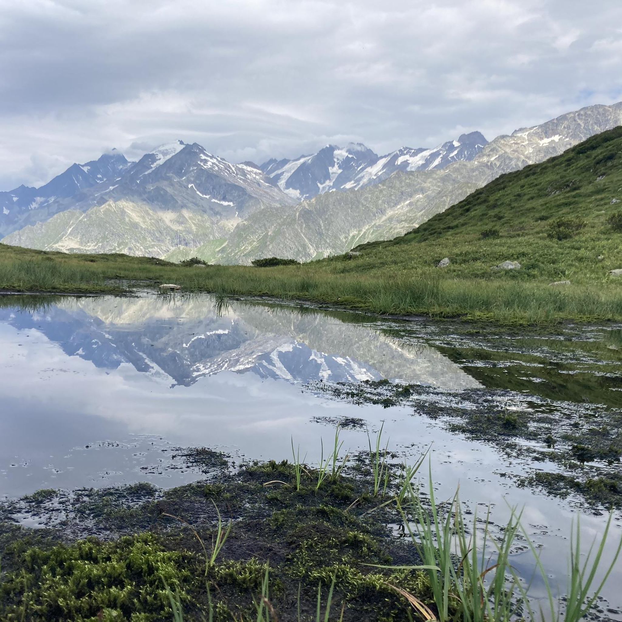
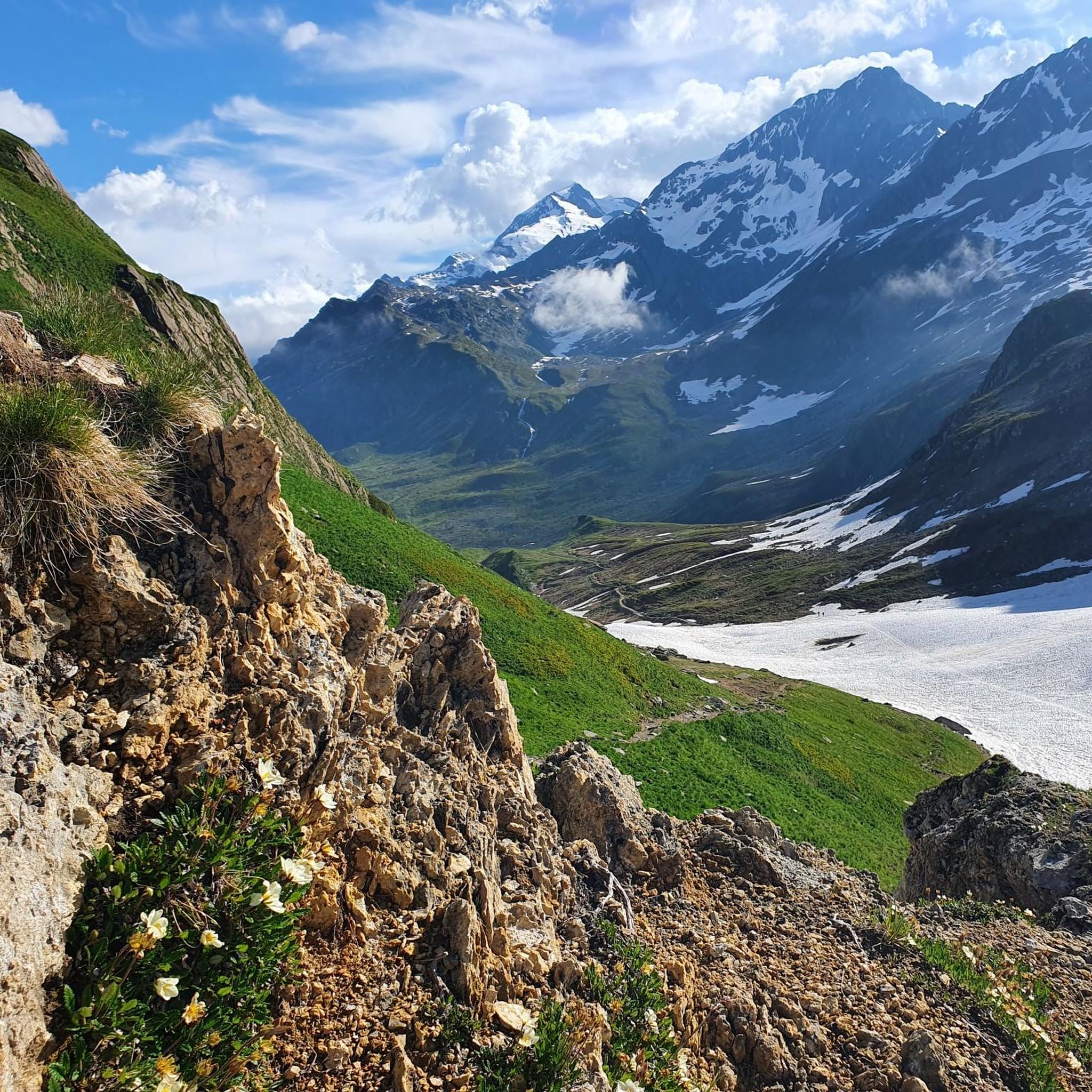
Hiking around Réserve Naturelle des Contamines-Montjoie offers access to France's highest nature reserve, characterized by a significant altitude difference from 1,100 meters to 3,892 meters. The terrain encompasses diverse mountainous environments including lush forests, high-altitude pastures, unique peat bogs, pristine streams, serene lakes, dramatic scree areas, and glaciers like the Tré la Tête glacier. Water features such as springs, snowfields, meltwater torrents, and numerous lakes are prevalent across the landscape. The reserve's geology includes granite, gneiss, schist, and limestone.
Best hiking trails around Réserve Naturelle des Contamines-Montjoie
- The most popular hiking route is Notre-Dame de la Gorge – Roman bridge loop from Les Contamines-Montjoie, an 8.4 miles (13.5 km) moderate trail that takes 4 hours 34 minutes to complete, passing significant landmarks.
- Another top favourite among local hikers is Col du Bonhomme – Croix du Bonhomme Pass loop from Col d'Enclave, a difficult 15.9 miles (25.6 km) path. This route traverses a challenging high-altitude pass.
- Local hikers also love the Refuge de Tré-la-Tête – Roman bridge loop from Les Contamines-Montjoie, a 7.0 miles (11.2 km) trail leading through varied mountain terrain, often completed in about 5 hours 14 minutes.
- Hiking around Réserve Naturelle des Contamines-Montjoie is defined by glaciers, high-altitude passes, and diverse forest and pasture landscapes. The network offers options for various ability levels, from moderate paths to challenging multi-day treks.
- The routes in Réserve Naturelle des Contamines-Montjoie are highly rated by the komoot community with an average score of 4.6 stars from over 3,600 reviews. More than 48,000 hikers have used komoot to explore Réserve Naturelle des Contamines-Montjoie's varied terrain.
Last updated: July 5, 2026
4.6
(23)
496
hikers
26.1km
10:56
1,660m
1,660m
Hard hike. Very good fitness required. Sure-footedness, sturdy shoes and alpine experience required.
4.9
(31)
345
hikers
Hard hike. Very good fitness required. Mostly accessible paths. Sure-footedness required.

Sign up for free
4.6
(24)
340
hikers
13.7km
04:37
540m
540m
Moderate hike. Good fitness required. Mostly accessible paths. Sure-footedness required.
4.6
(10)
167
hikers
9.89km
04:59
800m
800m
Moderate hike. Good fitness required. Mostly accessible paths. Sure-footedness required.
4.5
(4)
89
hikers
Moderate hike. Good fitness required. Mostly accessible paths. Sure-footedness required.
Get access to more routes and recommendations from other explorers.
Sign up for free
Already have an account?
Our route recommendations are based on thousands of hikes, rides, and runs completed by other people on komoot.
Start today with a free account
Your next adventure awaits.
Login or Signup
Popular around Réserve Naturelle des Contamines-Montjoie
MTB Trails around Réserve Naturelle des Contamines-Montjoie
Road Cycling Routes around Réserve Naturelle des Contamines-Montjoie

Mountain Hikes around Réserve Naturelle des Contamines-Montjoie
Cycling around Réserve Naturelle des Contamines-Montjoie
Running Trails around Réserve Naturelle des Contamines-Montjoie

Gravel biking around Réserve Naturelle des Contamines-Montjoie
Tips from the Community

Great welcome, I really enjoyed the bougnettes salad ;)
0
0


Great spot for a coffee and a cold drink before tackling Col du Bonhomme or Lacs Jovet. It’s cash only!!
0
0

Very little is known today about the reason for this inscription and this place, except that it is surmounted by an iron cross, which replaced an old oratory, probably destroyed in 1827. As for the date of 1795, it could refer to the troubles of the revolutionary period: the church of the Gorge was occupied by the troops, and it is said that the faithful went up to pray in secret on this famous stone...
0
0

Upon arriving at Notre-Dame de la Gorge, one discovers a group of fourteen small oratories that mark the path leading to the church. Their construction was decided by the priest Gaillard in 1728, above all to give even more brilliance to the Marian cult already present in this place. Five "Joyful Mysteries", five "Sorrowful Mysteries" and five "Glorious Mysteries" make up the Rosary and mark the stages of the life of the Virgin Mary.
0
0
Upon arriving at Notre-Dame de la Gorge, one discovers a group of fourteen small oratories that mark the path leading to the church. Their construction was decided by the priest Gaillard in 1728, above all to give even more brilliance to the Marian cult already present in this place. Five "Joyful Mysteries", five "Sorrowful Mysteries" and five "Glorious Mysteries" make up the Rosary and mark the stages of the life of the Virgin Mary.
1
0

Night in a dormitory at the Mottets refuge and tasting of farm cheese 😋
0
0
Frequently Asked Questions
How many hiking trails are available in Réserve Naturelle des Contamines-Montjoie?
The Réserve Naturelle des Contamines-Montjoie offers a wide network of over 40 distinct hiking routes, totaling more than 120 km of marked trails. These range from half-day walks to multi-day treks, catering to various experience levels.
Are there easy hiking trails suitable for beginners or families in the reserve?
Yes, the reserve offers trails suitable for all levels, including easy options. While many routes are moderate to difficult, you can find at least 2 easy trails. For a family-friendly experience, consider routes that explore the lower sections of the reserve, offering gentler terrain and beautiful forest scenery.
What kind of natural features and landscapes can I expect to see while hiking here?
The reserve boasts an extraordinary ecological variety across a remarkable altitude difference. You'll encounter diverse mountain environments including forests, high-altitude pastures, peat bogs, scree areas, and glaciers like the majestic Tré la Tête glacier. Water is a pervasive element, appearing as springs, meltwater torrents, and serene lakes such as Lacs Jovet.
What are some notable landmarks or points of interest along the hiking trails?
Hikers can discover several significant landmarks. The historic Notre-Dame de la Gorge and the ancient Roman bridge are popular starting points. Higher up, the Col du Bonhomme offers superb views and is a mythical pass in the Alps. You might also pass by the Hut La Balme, providing stunning valley vistas, or the scenic Fenêtre Pass.
Are there any circular hiking routes available?
Yes, many routes in the Réserve Naturelle des Contamines-Montjoie are designed as loops. For example, the Notre-Dame de la Gorge – Roman bridge loop from Les Contamines-Montjoie is a popular circular trail. Another option is the Col du Bonhomme – Croix du Bonhomme Pass loop from Col d'Enclave, which traverses a challenging high-altitude pass.
What is the best time of year to go hiking in Réserve Naturelle des Contamines-Montjoie?
The best time for hiking is generally from late spring to early autumn (June to September) when trails are clear of snow and weather conditions are most favorable. During these months, you can fully appreciate the diverse flora and fauna, and access higher-altitude trails and passes. Some lower-altitude trails may be accessible earlier or later in the season.
Can I spot any wildlife or unique plant species while hiking?
Absolutely. The reserve is renowned for its rich biodiversity. In the lower sections, you might spot deer, roe deer, badgers, and foxes. As you ascend, traditional Alpine species like marmots, ibex, and chamois are common around pastures and lakes. The area is also home to over 660 plant species, including 56 unique to the Alps, thriving across various mountainous environments.
What do other hikers enjoy most about hiking in Réserve Naturelle des Contamines-Montjoie?
The area is highly rated by the komoot community, with an average score of 4.5 stars from nearly 800 reviews. Hikers often praise the stunning and constantly changing landscapes, from serene lakes and mountain pastures to dramatic cliffs and glaciers. The extensive network of well-marked trails and the opportunity to experience nature in its unspoiled state are also frequently highlighted.
Are there any moderate trails that offer a good balance of challenge and scenic views?
Yes, the reserve features 19 moderate trails that provide engaging hikes without the extreme demands of the most difficult routes. A good example is the Refuge de Tré-la-Tête – Fish rock loop from Les Contamines-Montjoie, which offers varied mountain terrain and scenic vistas, typically completed in about 5 hours.
Is there public transport available to reach the trailheads?
While specific public transport details can vary by season, the village of Les Contamines-Montjoie serves as a primary gateway to the reserve. From there, local shuttle services or buses might provide access to popular starting points like Notre-Dame de la Gorge, especially during peak hiking season. It's advisable to check local transport schedules before your visit.
Are dogs allowed on the hiking trails in the Réserve Naturelle des Contamines-Montjoie?
As a nature reserve, specific regulations regarding dogs may apply to protect wildlife and the natural environment. Generally, dogs are often permitted on trails but must be kept on a leash. It's always best to check the official rules of the Réserve Naturelle des Contamines-Montjoie before your visit to ensure compliance and a pleasant experience for everyone.
What is the highest point accessible by trail in the reserve?
The reserve itself reaches up to 3,892 meters at Aiguille Nord de Tré la Tête. While not all of this altitude is accessible via marked hiking trails, many routes lead to high-altitude passes and viewpoints, offering breathtaking panoramas. Trails like the Col du Bonhomme – Croix du Bonhomme Pass loop from Col d'Enclave traverse significant elevations, reaching over 2,300 meters.
Most popular routes around Réserve Naturelle des Contamines-Montjoie
Most popular attractions around Réserve Naturelle des Contamines-Montjoie

Get inspired with the komoot mobile app


Explore more
Browse the best Hikes in other regions.
