The best walks and hikes around Esplegares
4.3
(6)
64
hikers
7
hikes
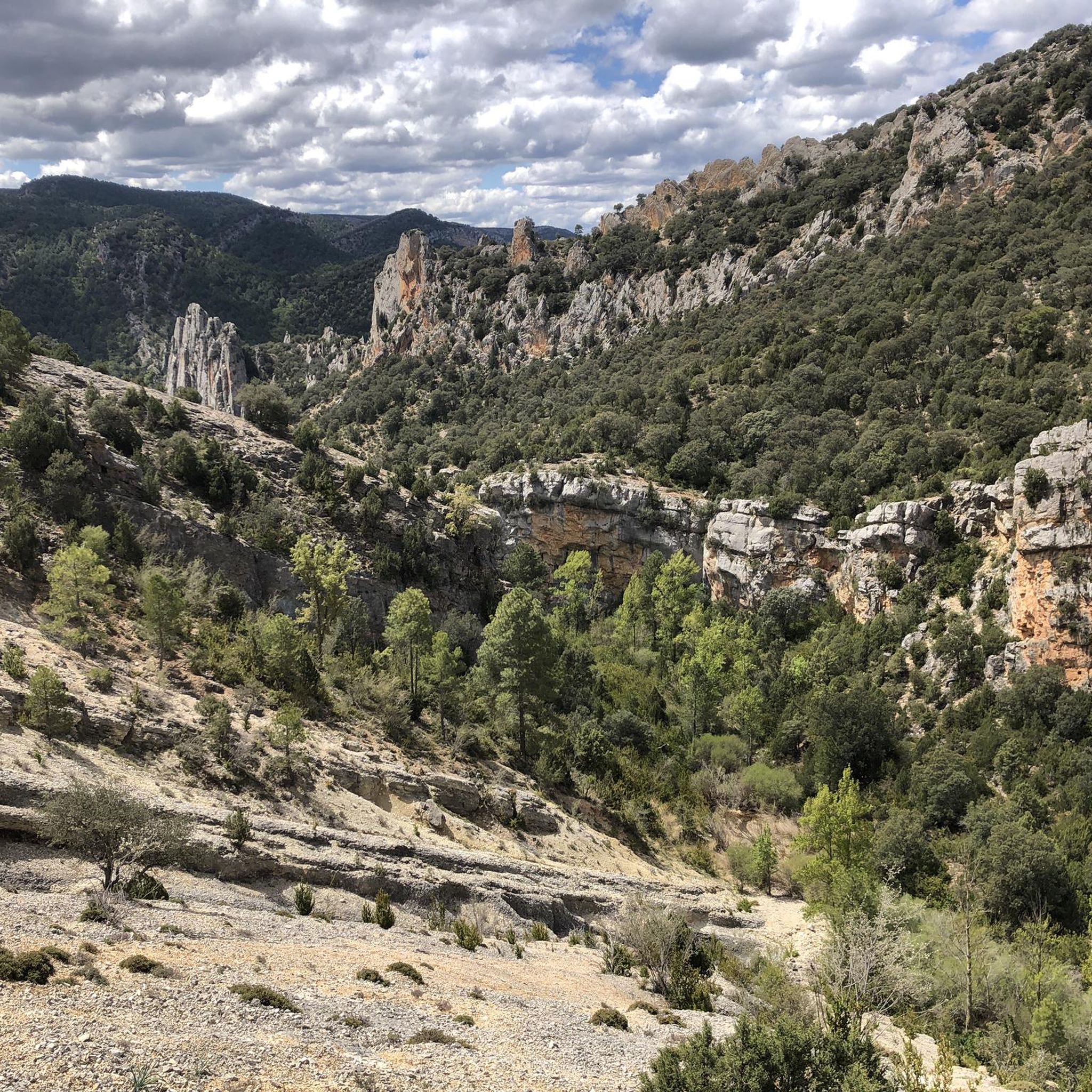
Hiking around Esplegares offers routes through varied landscapes, including natural parks and geological formations. The region features hills like Pico del Alar, alongside river gorges and salt flats. Trails often traverse areas with diverse terrain, providing opportunities to explore the natural environment.
Best hiking trails around Esplegares
- The most popular hiking route is Pico del Alar – circular by Salinas de la Inesperada from Ocentejo – Parque Natural del Alto Tajo, a 9.8 miles (15.7 km) trail that takes…
Last updated: July 2, 2026
3.0
(1)
12
hikers
Moderate hike. Good fitness required. Mostly accessible paths. Sure-footedness required.
1
hikers
12.9km
03:51
410m
410m
Hike a moderate 8.0-mile loop in Alto Tajo Natural Park, exploring Cueva de los Casares, Valle de los Milagros, and diverse geology.

Sign up for free
5.0
(1)
1
hikers
4.14km
01:36
260m
270m
Hike the moderate 2.6-mile Hundido de Armallones to Salinas and Pico Alar Route in Alto Tajo, featuring river views and Pico Alar summit.
5.0
(3)
30
hikers
9.57km
02:43
220m
220m
Moderate hike. Good fitness required. Easily-accessible paths. Suitable for all skill levels.
1
hikers
13.4km
04:01
410m
410m
Moderate hike. Good fitness required. Easily-accessible paths. Suitable for all skill levels.
Get access to more routes and recommendations from other explorers.
Sign up for free
Already have an account?
Our route recommendations are based on thousands of hikes, rides, and runs completed by other people on komoot.
Start today with a free account
Your next adventure awaits.
Login or Signup
Popular around Esplegares
Tips from the Community

It is a narrowing of the lateral cliffs of the Tagus River. It is also known as the Gate of the Alto Tajo. From this place upwards begins the Alto Tajo Natural Park.
0
0
On the right bank of the Tagus River, in the area of Hundido de Armallones, very close to the strait of La Tormellera, there is a curious waterfall of Piedra de Tuffa, which has been formed by the flow of water and time. It has great beauty.
0
0
On the banks of the Tagus River, at a crossroads, it is an ideal place to take a break on the route. If you approach the riverbank, you will be surprised by its majesty and bravery.
0
0
Giant awnings that have been formed "miraculously." A landscape of great beauty.
0
0
Perhaps the best prehistoric cave in Spain. With three rooms or spaces connected by corridors. Many types of animals, some of them in relief.
0
0

The Tagüenza bridge is located between the municipalities of Huertapelayo and Huertahernado. The small stone bridge stands out for being built on two high rocks that flank the Tagus River.
2
0

Beautiful natural pool in the course of the Tagus River where you can take advantage of a hot summer day to take a refreshing bath.
0
1
One of the most important caves in the center of the peninsula for its large number of prehistoric engravings.
2
0
Frequently Asked Questions
How many hiking trails are available around Esplegares?
There are 7 hiking trails documented around Esplegares on komoot. These routes primarily feature moderate difficulty, offering a range of options for exploring the region's diverse landscapes.
What is the typical duration of hikes around Esplegares?
Hikes around Esplegares vary in length and duration. For example, the Pico del Alar – circular by Salinas de la Inesperada from Ocentejo – Parque Natural del Alto Tajo takes approximately 4 hours 47 minutes, while the shorter Hundido de Armallones to Salinas and Pico Alar Route can be completed in about 1 hour 36 minutes.
Are there any circular hiking routes in Esplegares?
Yes, several circular routes are available. A popular option is the Pico del Alar – circular by Salinas de la Inesperada from Ocentejo – Parque Natural del Alto Tajo, which offers scenic views and a complete loop back to the starting point. Another is the Cueva de los Casares and Valley of Miracles Loop.
What kind of natural attractions can I see along the trails?
The region boasts diverse natural attractions. You can explore the unique geological features of the Valley of Miracles, discover the Cueva de los Casares, or reach the Pico del Alar for panoramic views. Some routes also pass by the impressive Stone Waterfall (Cascada de Piedra) in Parque Natural del Alto Tajo.
Are there any historical or man-made landmarks to explore?
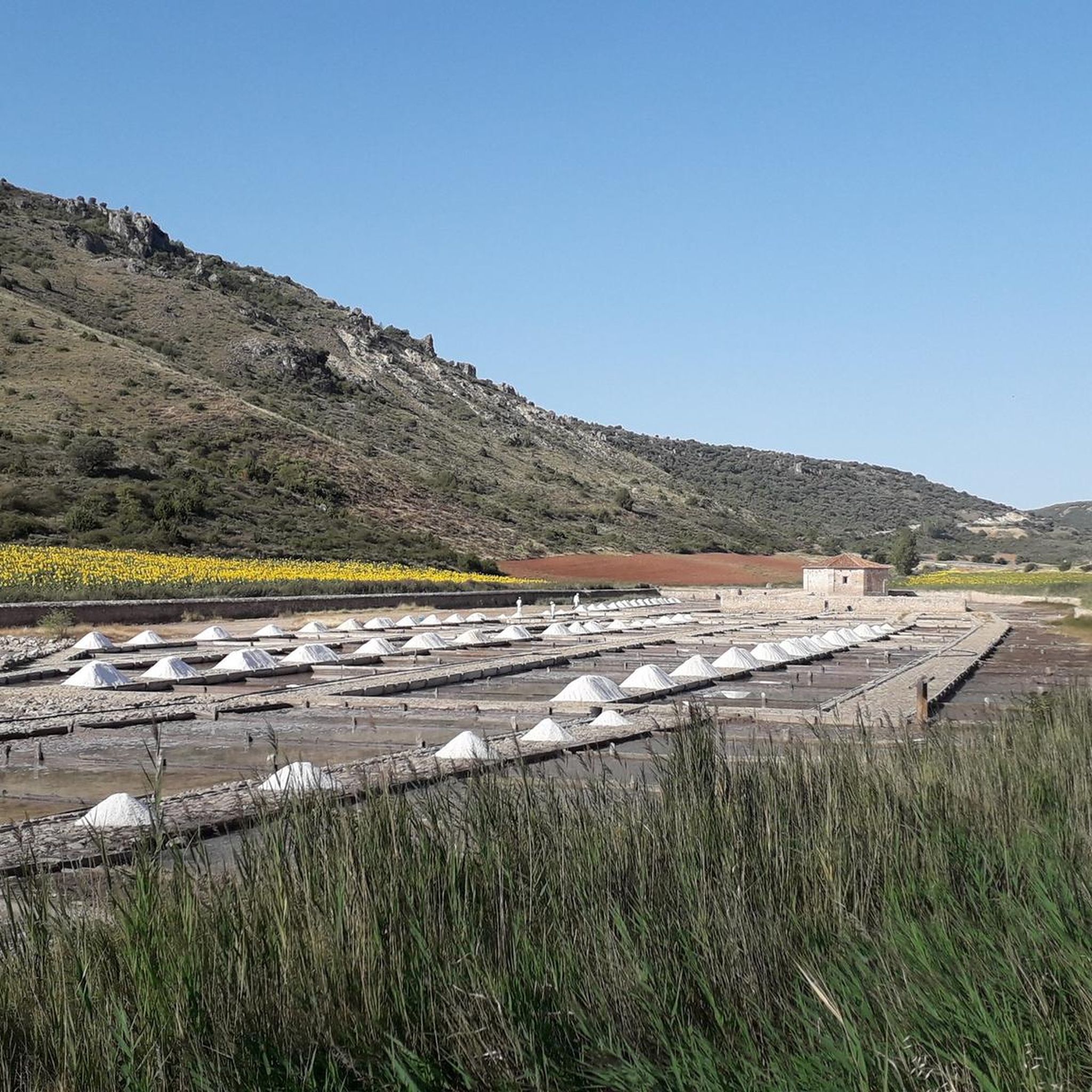
Yes, hikers can encounter interesting historical sites. The Cueva de los Casares and Valley of Miracles Loop, for instance, passes by the ancient Cueva de los Casares. You might also come across the Ruins of the Inesperada Salt Factory or the historic Tagüenza Bridge.
What do other hikers enjoy most about hiking in Esplegares?
The area is highly rated by the komoot community, with an average score of 4.0 stars from 3 ratings. Hikers often praise the varied terrain, including hills, river gorges, and natural park landscapes, which offer diverse exploration opportunities.
Are there any easy hikes suitable for families in Esplegares?
While all listed routes are currently rated as moderate, many families with some hiking experience find these trails enjoyable. The Hundido de Armallones to Salinas and Pico Alar Route is shorter at 4.1 km, making it a potentially good option for families looking for a less strenuous outing.
Can I bring my dog on the hiking trails in Esplegares?
Many trails in natural areas like Esplegares are generally dog-friendly, especially if dogs are kept on a leash. However, it's always recommended to check specific regulations for the Parque Natural del Alto Tajo or any protected areas you plan to visit, as rules can vary.
What is the best time of year to go hiking in Esplegares?
The best time to hike in Esplegares is typically during spring and autumn when temperatures are milder and the natural scenery is vibrant. Summer can be hot, especially in open areas, while winter may bring colder conditions, particularly at higher elevations like Pico del Alar.
Are there opportunities for wild swimming near the hiking routes?
The region features river gorges, such as those found along the La Tormellera Gorge loop from Ocentejo. While specific wild swimming spots are not explicitly listed, rivers and natural pools can sometimes be found. Always exercise caution and check local regulations regarding swimming in natural waters.
Are there parking facilities available at the trailheads?
Many trailheads in the Esplegares region, especially those near villages like Ocentejo, typically offer informal parking areas. It's advisable to check the starting point of your chosen route on komoot for more specific parking information or look for designated parking spots in nearby towns.
How can I reach the trailheads using public transport?
Public transport options to reach trailheads directly in rural areas like Esplegares can be limited. It's often more convenient to travel by car. However, some larger nearby towns might have bus connections, from which you could potentially arrange local transport or start a longer walk.
Most popular attractions around Esplegares

Get inspired with the komoot mobile app


Explore more
Browse the best Hikes in other regions.
