The best running trails around Villarta-Quintana
4.7
(6)
571
runners
79
runs
Jogging around Villarta-Quintana provides an engaging environment for outdoor enthusiasts in La Rioja, Spain, nestled in the foothills of the Sierra de la Demanda. The region features a blend of mountainous terrain, agricultural scenery, and natural woodlands, offering varied challenges for runners. Native forests of beech and oak, alongside pine plantations, provide shaded paths and scenic backdrops. River basins and rural paths further enhance the running experience, allowing for exploration away from vehicular traffic.
Best jogging routes around Villarta-Quintana
- The most popular jogging route is Río Oja Loop from Santo Domingo de la Calzada, a 5.4 miles (8.7 km) moderate trail that takes about 1 hour to complete, following the river and offering views near the historic town.
- Another top favourite among local runners is Redecilla del Camino - Camino Francés Loop, a moderate 4.5 miles (7.2 km) path that incorporates sections of the historic Camino Francés, providing a mix of rural and well-trodden paths.
- Local runners also love the Border between Castilla y León by Redecilla del Camino — circular from Castildelgado, an 8.9 miles (14.3 km) trail leading through varied rural landscapes, often completed in about 1 hour 35 minutes.
- Jogging around Villarta-Quintana is defined by mountainous terrain, native forests, and river basins, with a network of rural paths. The area offers routes for various ability levels, from easy loops to more challenging ascents.
- The routes in Villarta-Quintana are highly rated by the komoot community with an average score of 4.6 stars from more than 5 reviews. More than 500 runners have used komoot to explore Villarta-Quintana's varied terrain.
Last updated: July 4, 2026
1
runners
8.68km
01:00
50m
50m
Jog a 5.4-mile (8.7 km) moderate loop in Santo Domingo de la Calzada, passing the Cathedral, Torreón Sor María de Leiva, and Puente de Santo
7.17km
00:46
90m
90m
Jog the Redecilla del Camino - Camino Francés Loop, a 4.5-mile route through Castilian grain fields and past historic village landmarks.

Sign up for free
Moderate run. Good fitness required. Mostly paved surfaces. Suitable for all skill levels.
44
runners
13.5km
01:50
530m
530m
Hard run. Very good fitness required. Mostly paved surfaces. Suitable for all skill levels.
37
runners
43.5km
06:29
2,110m
2,110m
Hard run. Very good fitness required. Mostly paved surfaces. Suitable for all skill levels.
Get access to more routes and recommendations from other explorers.
Sign up for free
Already have an account?
Our route recommendations are based on thousands of hikes, rides, and runs completed by other people on komoot.
Start today with a free account
Your next adventure awaits.
Login or Signup

Tips from the Community

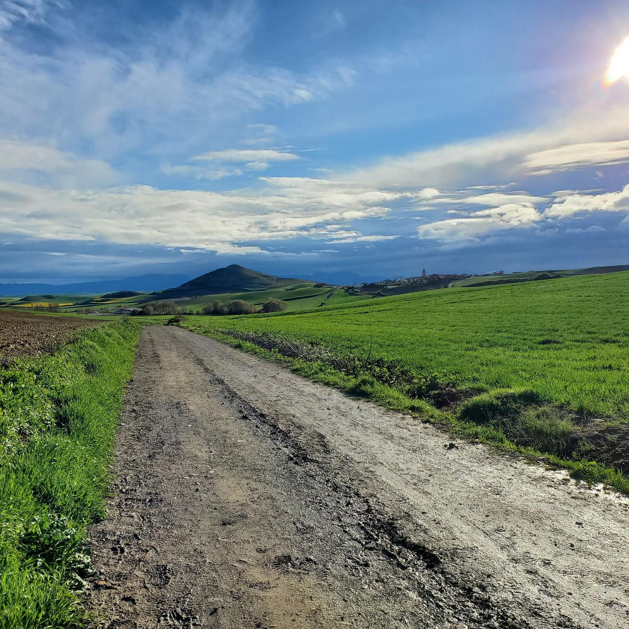
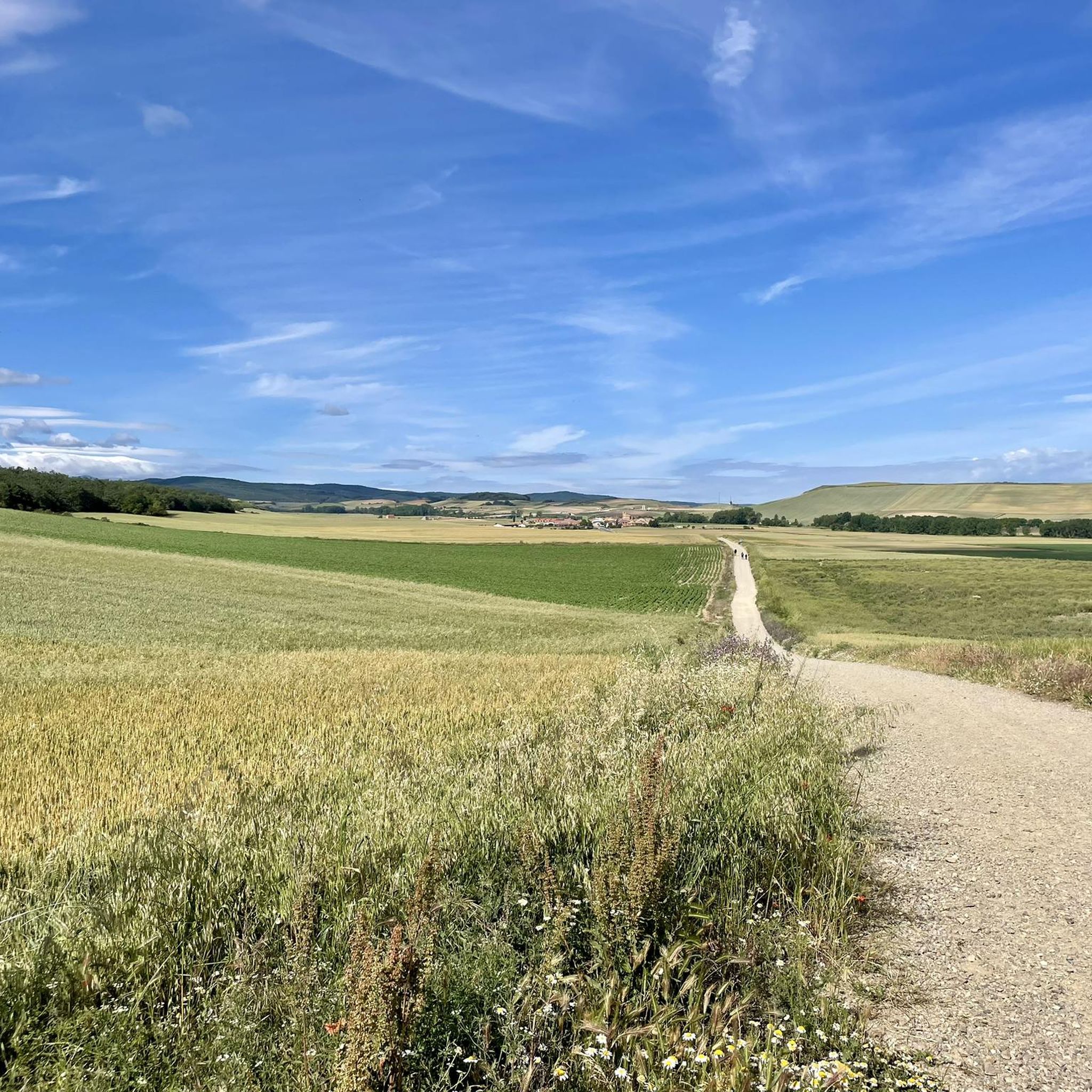
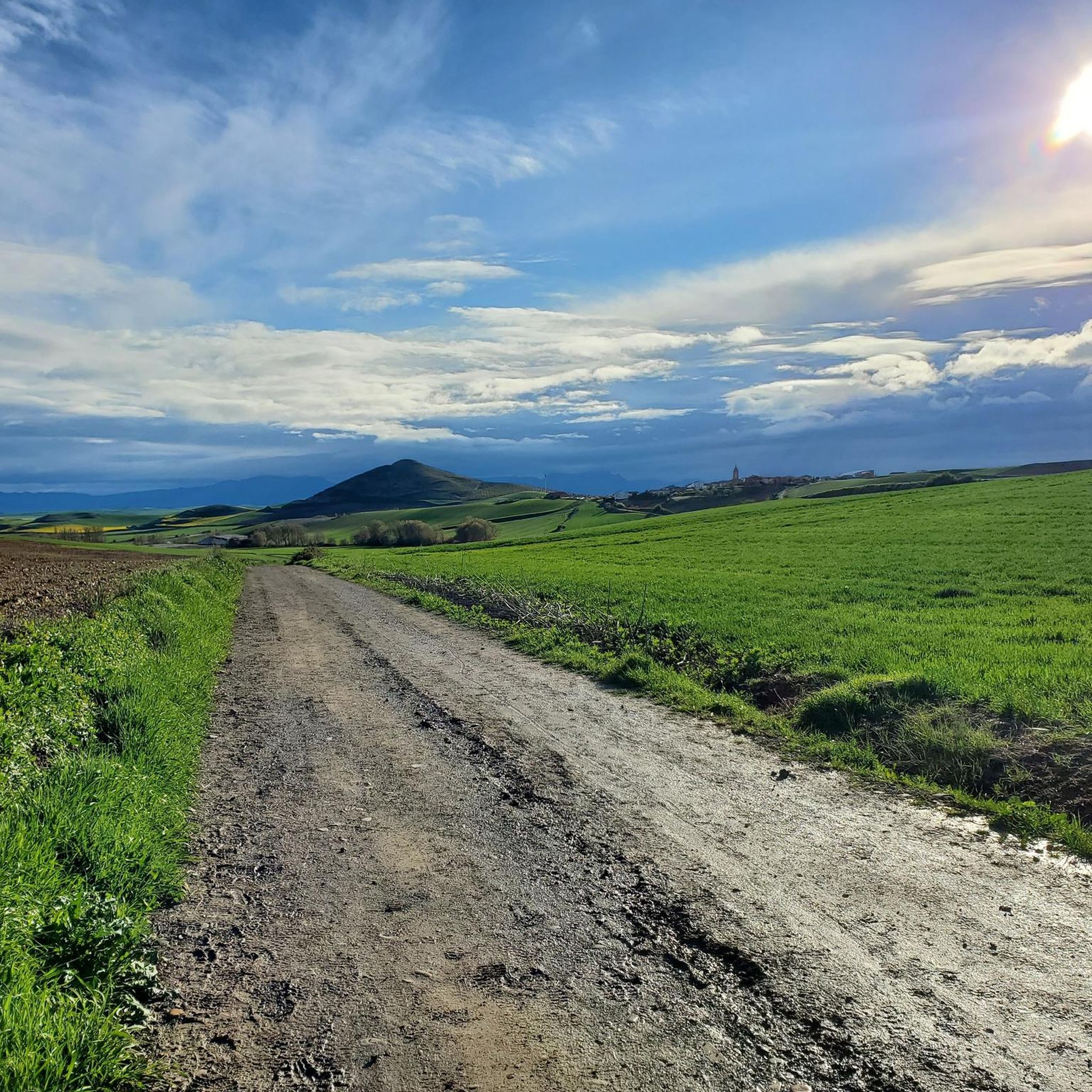
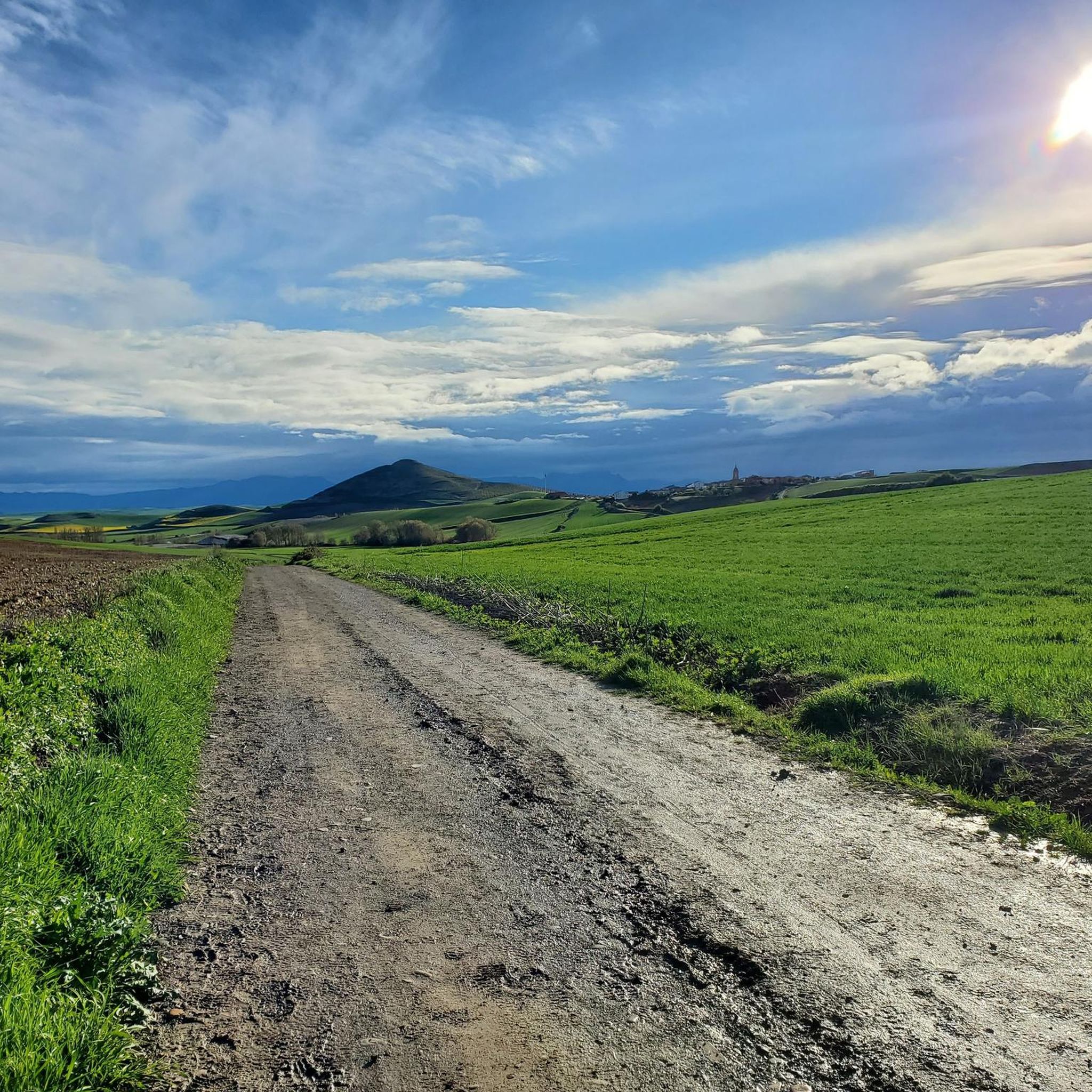
On the approximately 800-kilometer route through northern Spain – perhaps even earlier in France – the pilgrim has repeatedly crossed borders that may have held significant significance in the past, and some still do today from a regional political perspective. However, for us, who are striving toward the tomb of the Apostle James, the "Credencial" was the only important identification document, and pilgrimage routes – like the heavens – have always been borderless.
0
0
The pilgrimage route repeatedly involves crossing valleys and rivers like the Rio Oja – as here at Santo Domingo de la Calzada. The bridges are sometimes relatively modern, sometimes medieval, and sometimes even older.
1
0

It crosses the Oja River, connecting different parts of the city. Built in the 12th century by Saint Dominic de la Calzada to facilitate the passage of pilgrims on the Camino de Santiago. The stone bridge features several arches, a fine example of medieval engineering.
2
0
The Torreón de Sor María de Leiva is one of the historical attractions of Santo Domingo de la Calzada. It is part of the walled enclosure of Santo Domingo de la Calzada. Built between the 14th and 16th centuries, the tower is an example of the defensive architecture of the period. The tower and its surroundings offer excellent opportunities for photography, especially at sunset.
1
0
The Cumbres de la Demanda are a series of peaks located in the Sierra de la Demanda, which stretches between La Rioja, Burgos, and Soria. The route covers several of the highest peaks, including Pico San Millán (2,132 meters), the highest in the province of Burgos.
1
0
The Seven Bridges Route in Ezcaray is one of the most beautiful hiking trails in La Rioja. The route follows the course of the stream, crossing it several times on small wooden bridges. A spectacular forest that looks like something out of a fairy tale.
1
0
The Cathedral of Santo Domingo de la Calzada, also known as the Cathedral of El Salvador, is an impressive monument located in the town of Santo Domingo de la Calzada. The cathedral was built between the 12th and 13th centuries, combining Romanesque and Gothic styles. A unique feature is its free-standing tower, separated from the main body of the cathedral.
8
0

Asphalt forest track to the Bonicaparra refuge. A very nice climb, especially recommended in autumn when the beech forest is bursting with colour.
0
0
Frequently Asked Questions
How many running routes are available in Villarta-Quintana?
There are over 70 running routes around Villarta-Quintana, catering to various skill levels. You'll find a good mix of easy, moderate, and challenging trails to explore.
What kind of terrain can I expect on jogging trails in Villarta-Quintana?
The region offers a diverse landscape for running. You can expect mountainous terrain with varied inclines, peaceful paths through native forests of beech and oak, and routes alongside river basins. Many trails also follow rural paths, keeping you away from vehicular traffic.
Are there any circular running routes in the area?
Yes, Villarta-Quintana features several excellent circular running routes. For example, the Border between Castilla y León by Redecilla del Camino — circular from Castildelgado is a popular 8.9-mile trail that takes you through varied rural landscapes.
Can I combine my run with visiting historical or natural landmarks?
Absolutely! Many routes are close to significant landmarks. You can explore areas near the historic Santo Domingo de la Calzada Bridge or the impressive Santo Domingo de la Calzada Cathedral. The region also boasts natural features like the Rock formations on the banks of the Tirón River.
Are there family-friendly running paths in Villarta-Quintana?
While specific 'family-friendly' routes are not explicitly categorized, many of the easier and moderate trails, especially those along river basins or through less steep rural paths, can be suitable for families. Look for routes with lower elevation gain and shorter distances for a more relaxed experience.
Are the running trails in Villarta-Quintana dog-friendly?
Generally, the rural paths and forest trails in Villarta-Quintana are suitable for running with dogs, provided they are kept under control. It's always recommended to check local regulations for specific areas, especially within protected natural spaces, and ensure your dog is well-behaved around wildlife and other trail users.
How can I access the running routes, regarding parking or public transport?
Access to routes often depends on their starting point. Many trails begin near villages like Villarta-Quintana or Santo Domingo de la Calzada, where parking is typically available. While public transport options might be limited directly to trailheads, major towns in the vicinity usually have bus services. Planning your route in advance will help identify the best access points.
What do other runners say about the trails in Villarta-Quintana?
The running routes in Villarta-Quintana are highly rated by the komoot community, with an average score of 4.6 stars from more than 5 reviews. Runners often praise the varied terrain, the peaceful atmosphere of the woodlands, and the well-maintained rural paths that offer a refreshing escape.
Are there options for longer distance running trails?
Yes, for those seeking longer runs, the region offers trails that can be combined or are inherently long. The area's proximity to the Camino de Santiago means there are well-established paths that can be utilized for extended distances. An example of a challenging long-distance route is the Route of the 7 Bridges – Peaks of the Demanda loop from Ezcaray, which spans over 29 miles.
What is the best time of year for running in Villarta-Quintana?
The spring and autumn months are generally ideal for running in Villarta-Quintana. The weather is milder, and the natural landscapes, from blooming wildflowers to vibrant autumn foliage in the native forests, are particularly beautiful. Summer mornings and evenings can also be pleasant, offering shade in wooded areas, while winters can be cooler but still offer opportunities for crisp, invigorating runs.
Can I find routes that offer a mix of rural and historic paths?
Definitely. The region's location near the Camino de Santiago means you can find routes that incorporate sections of this historic pilgrimage path. For instance, the Redecilla del Camino - Camino Francés Loop offers a moderate 4.5-mile path that blends rural scenery with well-trodden historic sections.
Are there any natural features to look out for while jogging?
Beyond the general landscapes, you'll encounter beautiful native forests of beech and oak, providing shade and fresh air. The region is also characterized by river basins, such as the Lechares River, which may offer calming views along water bodies. Keep an eye out for the Arboleda del Sur – Horse Chestnut Trees of Ezcaray for a unique natural sight.
Most popular routes around Villarta-Quintana
Most popular attractions around Villarta-Quintana

Get inspired with the komoot mobile app


Explore more
Browse the best Running Trails & Routes in other regions.
