The best walks and hikes around Aras De Los Olmos
4.3
(14)
157
hikers
32
hikes
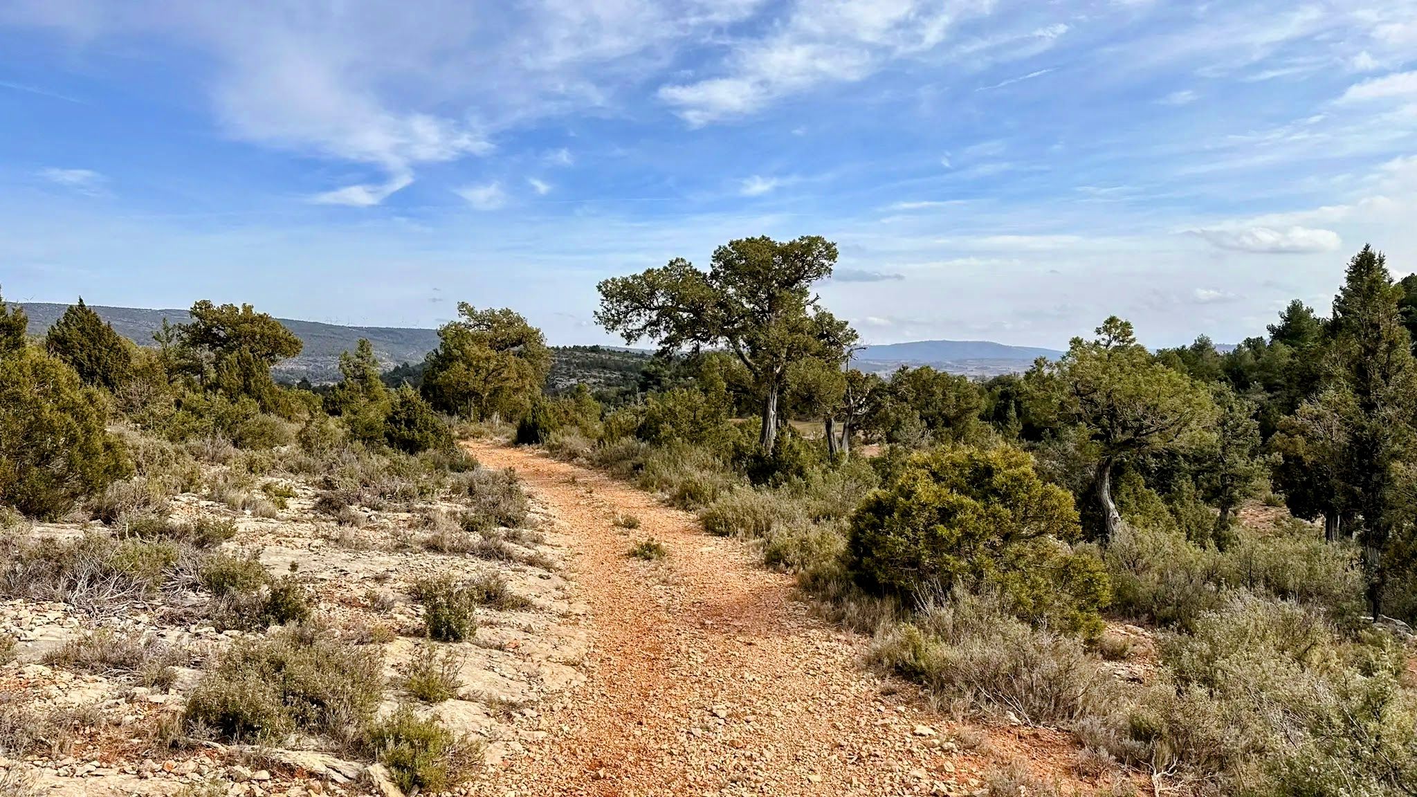
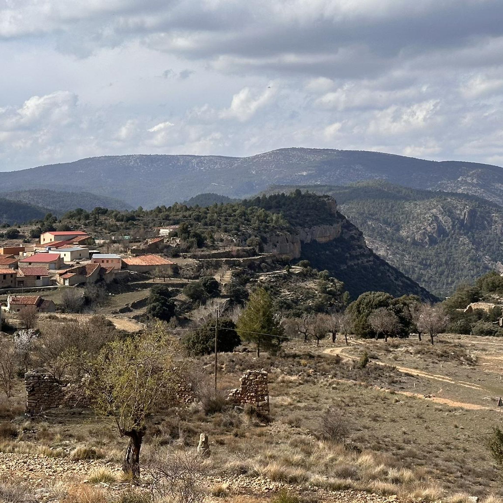
Hiking around Aras De Los Olmos offers diverse terrain, characterized by central plains and predominantly mountainous areas with deep ravines. The region features a vast forest mass and is crossed by the Turia River and its tributaries, contributing to rich biodiversity. Elevations range from 500 meters along the Turia River to peaks of 1,200 meters, creating varied landscapes for outdoor activities.
Best hiking trails around Aras De Los Olmos
- The most popular hiking route is Los Rubiales - Rio Turia (PR-CV 187) — Circular desde Aras de los Olmos, a 11.0 miles (17.8 km) difficult trail that takes about 5 hours 30 minutes to complete, offering a comprehensive journey through wooded and riverside areas.
- Another top favourite among local hikers is Water Trail, a moderate 8.9 miles (14.3 km) path that typically follows natural water features and takes around 4 hours.
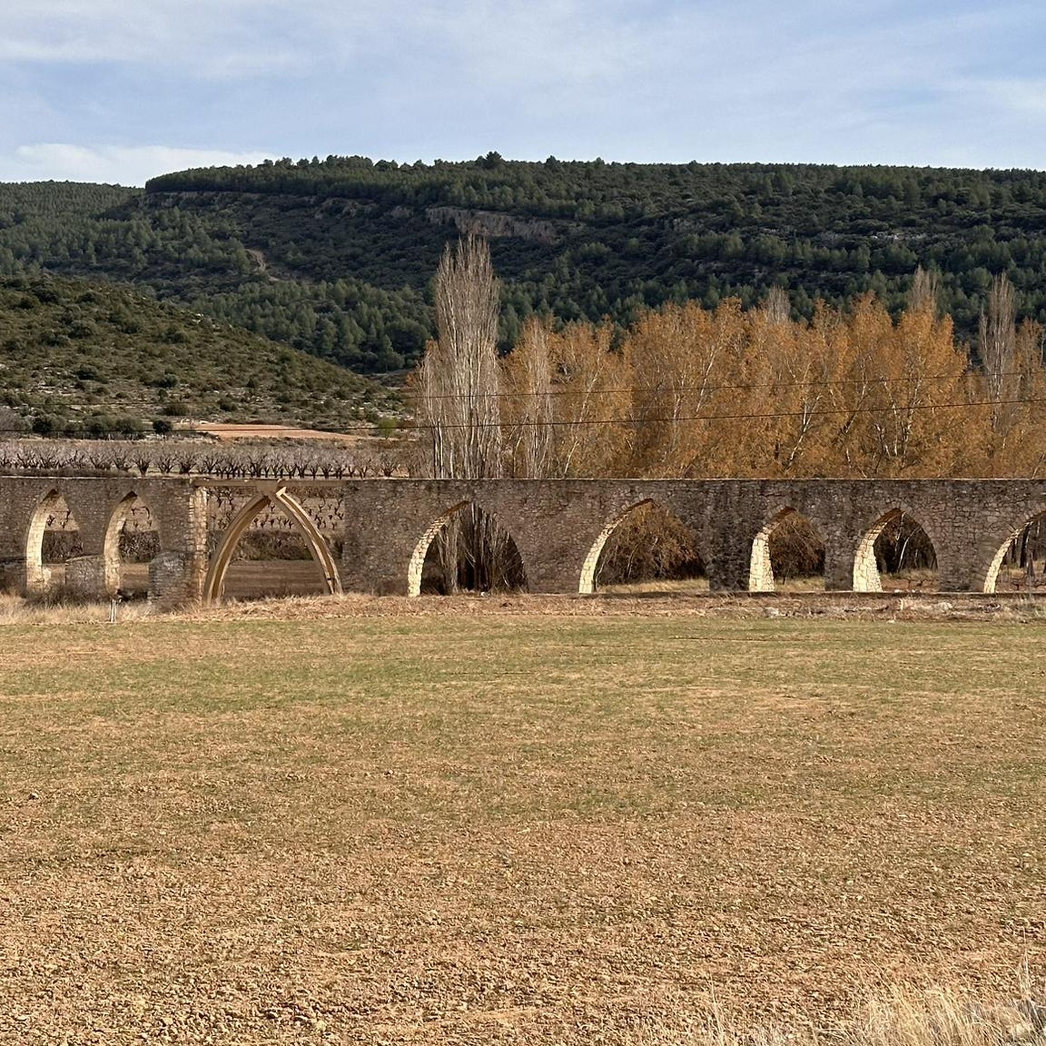
- Local hikers also love the Arcos de las Salinas – Baños Waterfall loop from Arcos de las Salinas, a 2.2 miles (3.6 km) trail leading through varied terrain, often completed in about 1 hour.
- Hiking around Aras De Los Olmos is defined by mountainous terrain, deep ravines, and the Turia River, with a network of routes offering options for different ability levels.
- The routes in Aras De Los Olmos are highly rated by the komoot community with an average score of 4.6 stars from over 11 reviews. More than 160 hikers have used komoot to explore Aras De Los Olmos's varied terrain.
Last updated: October 30, 2026
5.0
(2)
8
hikers
17.8km
05:29
630m
640m
Hard hike. Very good fitness required. Easily walkable paths.
5.0
(1)
5
hikers
14.3km
04:02
300m
300m

5
hikers
20.1km
06:47
970m
970m
27.3km
07:57
700m
700m
10
hikers
11.7km
03:15
220m
220m
Moderate hike. Good fitness required. Easily walkable paths.
Get access to more routes and recommendations from other explorers.
Already have an account?
Our route recommendations are based on thousands of hikes, rides, and runs completed by other people on komoot.
Start today with a free account
Your next adventure awaits.
Other adventures around Aras De Los Olmos

Tips from the Community

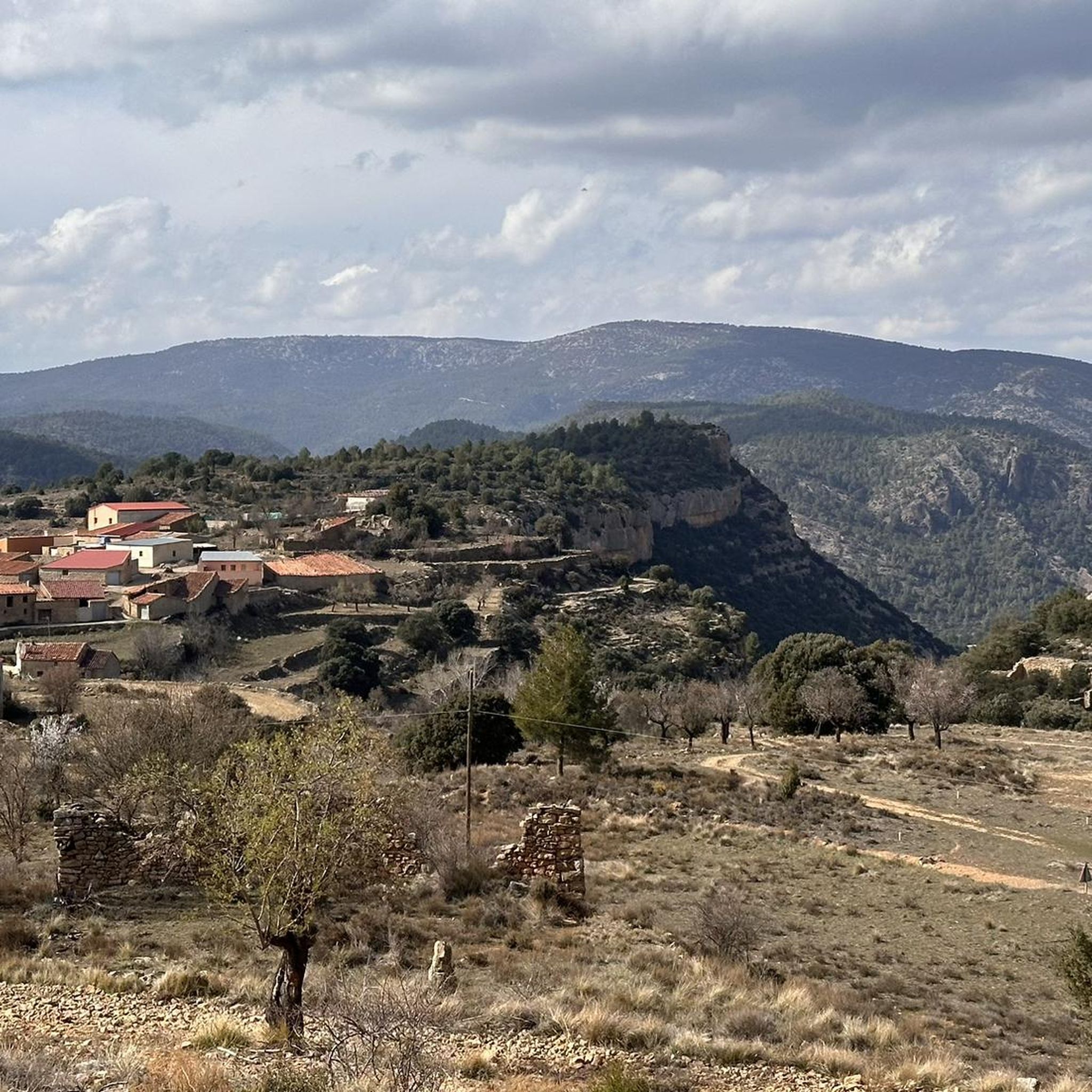
Aras de los Olmos is a mountain village surrounded by mountains and ravines, perfect for those seeking hiking and biking trails surrounded by nature. It is known for its clear skies, recognized with the Starlight Destination certification, making it one of the best places in Europe for astronomical observation. Its heritage includes the parish church, hermitages, a Muslim tower, and a medieval oven that can be visited, as well as paleontological finds such as the Losillasaurus dinosaur. The local cuisine, with dishes such as gachas (porridge), ajoarriero (a garlic stew), and artisanal honey, completes the visit.
0
0
The Regajo Ravine is a rarely traveled natural setting, ideal for those seeking a more rugged mountain experience. The riverbed generally retains water, providing a refreshing environment, although it also makes the rocks slippery. It's a somewhat technical trail, but perfectly accessible for leisurely walking. It's recommended to wear well-soled shoes and be careful in wet areas.
1
0

The El Vallecillo area in Santa Cruz de Moya, in the province of Cuenca, is an impressive natural place known for its scenic beauty and peaceful surroundings. This area is located in the Serranía Baja de Cuenca and is famous for its waterfalls, rivers and recreational areas.
2
0

From the El Vallecillo spot there are beautiful views when approaching the small town of Higueruela. Coming from Santa Cruz de Moya, the trail runs through a very picturesque area of the province of Cuenca, between limestone mountains, pine forests and some farms.
2
0
The area is well known for its hot springs and one of them is located in the small town of La Olmeda. The spring located in a rocky cavity, emanates water at a constant temperature and has been used since ancient times for domestic use in the town.
3
0
In this place known as Las Simas there is a spring of water that has supplied the towns in the area with water for many years until its salinity level increased and it was no longer used for this purpose, becoming a very picturesque tourist place.
3
0
A very privileged site with amazing views on all sides, chosen by many athletes to challenge the demanding climb. The peak of Picón del Buitre is located at 1956 meters above sea level and was chosen to build the Astronomical Observatory given its remote location, altitude and low light pollution.
2
0
The top of Picón del Buitre at 1956 meters above sea level was chosen as the ideal site to build the Astronomical Observatory. Its remote location, altitude, and low light pollution from cities is all that is needed to be able to observe the stars at night. During the day it is a very privileged place with amazing views on all sides, chosen by many hikers and cyclists to challenge the demanding climb.
2
0
Frequently Asked Questions
How many hiking trails are available in Aras De Los Olmos?
There are over 25 hiking trails in Aras De Los Olmos, offering a variety of experiences for different skill levels. The komoot community has explored more than 29 routes in the area.
What kind of terrain can I expect on hikes in Aras De Los Olmos?
Hikes in Aras De Los Olmos feature diverse terrain, ranging from central plains to predominantly mountainous areas with deep ravines. You'll find vast forest masses, the scenic Turia River and its tributaries, and elevations varying from 500 meters to peaks of 1,200 meters, creating a rich and varied landscape.
Are there easy hiking trails suitable for beginners in Aras De Los Olmos?
Yes, Aras De Los Olmos offers several easy hiking options. For instance, the Arcos de las Salinas – Baños Waterfall loop from Arcos de las Salinas is an easy 2.2-mile trail that can be completed in about an hour, leading through varied terrain.
Can I find challenging hikes with significant elevation gain in the region?
Absolutely. For those seeking a challenge, Aras De Los Olmos has several difficult routes. The Los Rubiales - Rio Turia (PR-CV 187) — Circular desde Aras de los Olmos is a demanding 11-mile trail with over 600 meters of elevation gain, offering a comprehensive journey through wooded and riverside areas.
Are there circular hiking routes in Aras De Los Olmos?
Yes, many routes in Aras De Los Olmos are circular, allowing you to start and end at the same point. The Los Rubiales - Rio Turia (PR-CV 187) is a notable circular route, and the Senda de las Áreas Recreativas is another medium-difficulty circular option connecting several recreational areas.
Are there any trails that feature waterfalls or water elements?
Yes, the region is rich in water features. The Barranco Regajo trail is known for its small waterfalls and refreshing environment. You can also explore the Water Trail, a moderate 8.9-mile path that typically follows natural water features. The Turia River also creates scenic gorges like those of La Hoz, del Carril, and Regajo Spider.
What natural attractions or landmarks can I explore while hiking?
Aras De Los Olmos offers several unique natural attractions. You can visit the Dino Route of Aras de los Olmos, a natural monument with dinosaur footprints. The Ancient juniper forest, part of the Ruta de la Travinas, allows you to walk among large, old juniper trees. For panoramic views, consider the demanding climb to Pico del Buitre or the Mirar Bueno Viewpoint.
Can I go stargazing after a hike in Aras De Los Olmos?
Yes, Aras De Los Olmos is designated as a Starlight Reserve due to its commitment to preserving the quality of its night sky. This makes it an exceptional location for stargazing, complementing your daytime hiking activities. The municipality even hosts astronomical observatories.
Are the hiking trails in Aras De Los Olmos dog-friendly?
Many trails in Aras De Los Olmos are suitable for dogs, but it's always recommended to check specific route details for any restrictions or requirements, such as leash laws or protected areas. Ensure your dog is well-behaved and that you carry waste bags.
Are there family-friendly hiking options in Aras De Los Olmos?
Yes, the area offers various trails suitable for families. The easier routes, like the Arcos de las Salinas – Baños Waterfall loop, are great for shorter outings with children. The diverse terrain ensures there are options for different family activity levels.
What are the parking options for hikers in Aras De Los Olmos?
Parking is generally available in and around the town of Aras De Los Olmos, as well as at designated trailheads for more popular routes. It's advisable to check specific starting points for parking availability, especially for longer or more remote trails.
Is public transport available to reach hiking trailheads?
While Aras De Los Olmos is a mountain town, public transport options might be limited for direct access to all trailheads. It's best to research local bus schedules or consider driving to reach the starting points of your chosen hikes.
What do other hikers say about the trails in Aras De Los Olmos?
The trails in Aras De Los Olmos are highly rated by the komoot community, with an average score of 4.6 stars from over 11 reviews. Hikers often praise the diverse landscapes, the tranquility of the natural environment, and the variety of routes available for all skill levels.
Most popular attractions around Aras De Los Olmos

Get inspired with the komoot mobile app


Explore more
Browse the best Hikes in other regions.
