The best running trails around Villoruebo
47
runners
1
run
Jogging around Villoruebo offers diverse natural landscapes within the Sierra de la Demanda region of Burgos, Castile y León. The area is characterized by varied terrain, from undulating paths to more challenging inclines, suitable for different fitness levels. Runners can explore routes that traverse mountainous backdrops and historical points of interest. This region provides an engaging experience amidst nature and cultural heritage.
Best jogging routes around Villoruebo
- The most popular jogging route is San Clemente - Mecerreyes Loop, an…
Last updated: June 28, 2026
13.2km
01:39
260m
260m
Moderate run. Good fitness required. Mostly accessible paths. Some sure footedness required.
25
runners
35.1km
05:27
1,720m
1,720m
Hard run. Very good fitness required. Sure-footedness, sturdy shoes and alpine experience required.

Sign up for free
8
runners
12.7km
01:36
300m
300m
Moderate run. Good fitness required. Mostly paved surfaces. Suitable for all skill levels.
8
runners
21.1km
02:57
810m
800m
Hard run. Very good fitness required. Sure-footedness, sturdy shoes and alpine experience required.
6
runners
32.5km
04:44
1,430m
1,430m
Hard run. Very good fitness required. Mostly paved surfaces. Suitable for all skill levels.
Our route recommendations are based on thousands of hikes, rides, and runs completed by other people on komoot.
Start today with a free account
Your next adventure awaits.
Login or Signup
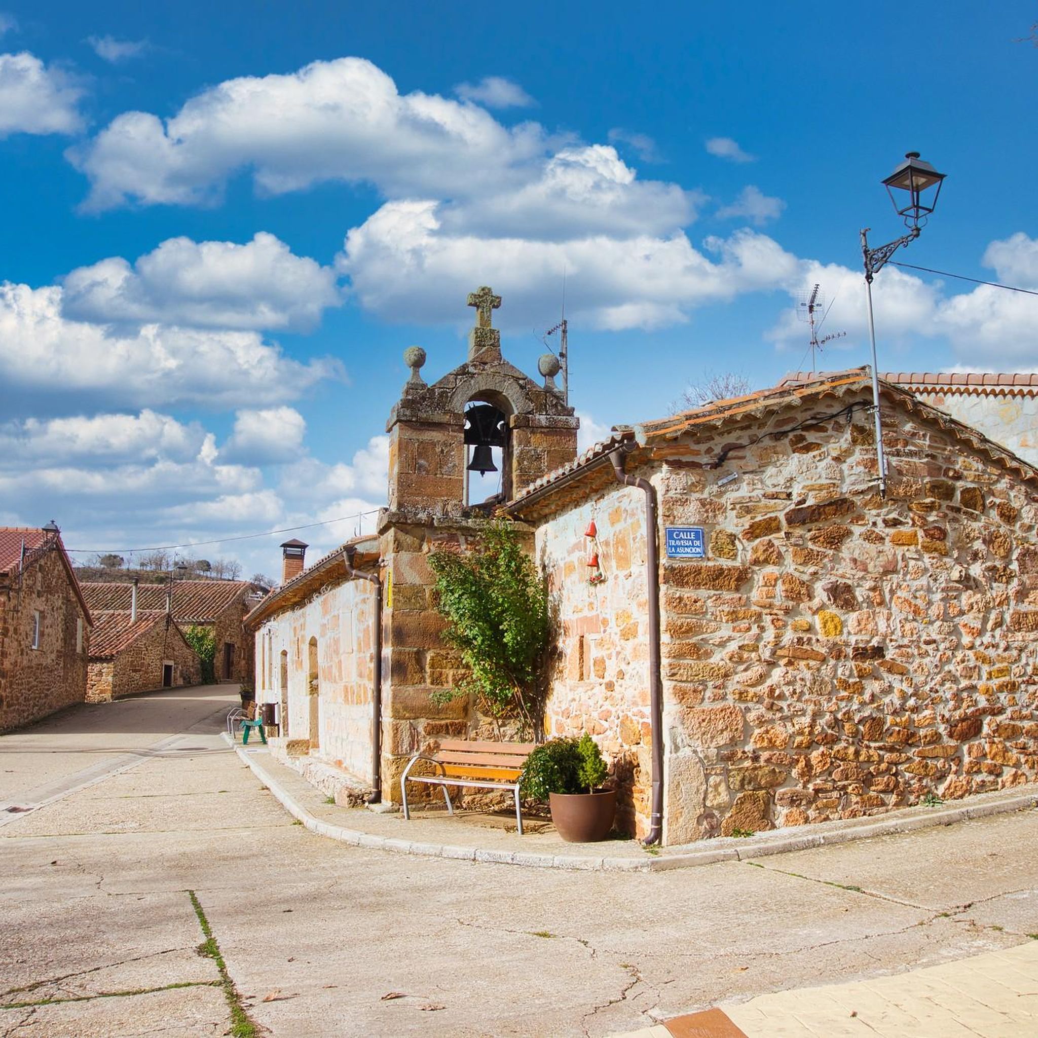
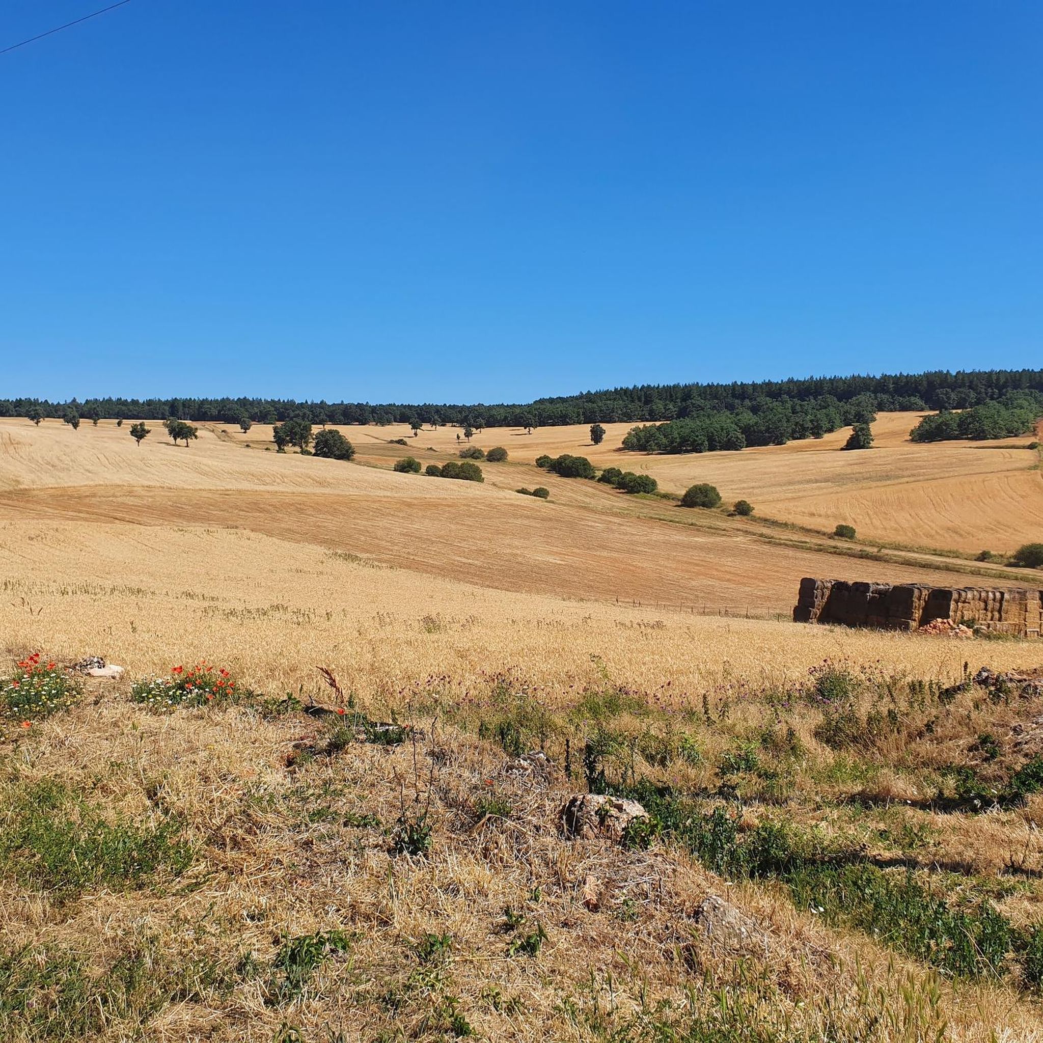
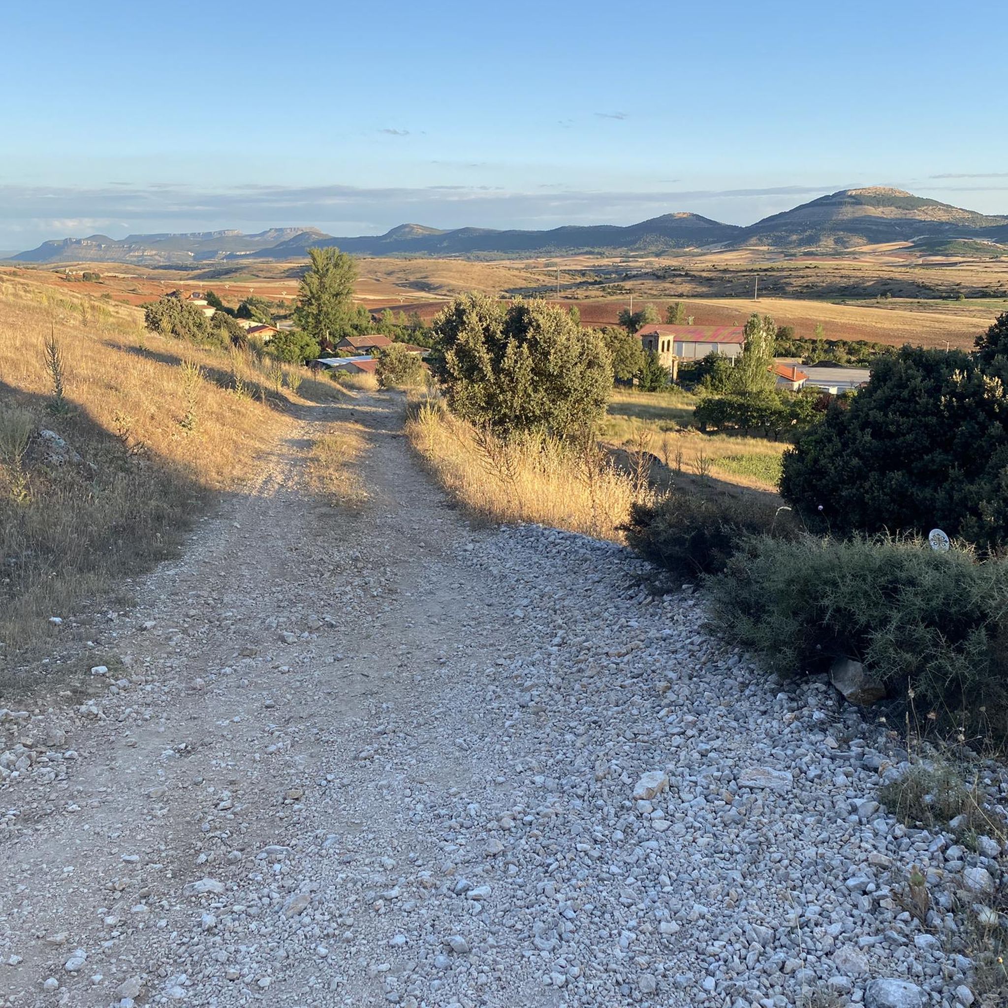

Tips from the Community

beautiful climb via the greenway or the road
0
0

Spectacular area for hiking routes
0
0

Crossing of the hill path with the path down to Tinieblas de la Sierra.
1
1
a highly recommended area for hiking.
0
1

There is always the solution to difficult points: doing them by road.
0
0

There are many routes, both easy and difficult, to choose from. The Sierra is very beautiful, especially in autumn.
0
0
Frequently Asked Questions
How many running routes are available around Villoruebo?
There are several dedicated running routes around Villoruebo, offering diverse experiences. The komoot guide features 3 distinct routes, with more options available for exploration in the wider Sierra de la Demanda region.
What kind of terrain can I expect on the running trails in Villoruebo?
The running trails in Villoruebo, nestled within the Sierra de la Demanda, feature varied terrain. You can expect everything from undulating paths to more challenging inclines, providing a dynamic experience for different fitness levels. The region is known for its natural environment and mountainous backdrops.
Are there any challenging running routes for experienced runners?
Yes, for experienced runners seeking a challenge, Villoruebo offers difficult routes. An example is the San Millán loop from Valle del Sol, which covers approximately 34.8 km with significant elevation changes. Another demanding option is the Morro de Cabeza Rubia – Mogosa loop from Valle del Sol, spanning about 32.5 km.
Can I find any moderate-difficulty running paths in the area?
Absolutely. For those looking for a moderate run, the San Clemente - Mecerreyes Loop is a great choice. This route is about 13.2 km long and offers scenic views of the local countryside without being overly strenuous.
Are there any circular running routes near Villoruebo?
Yes, many of the routes around Villoruebo are designed as loops, allowing you to start and finish in the same location. Examples include the La Esculca Viewpoint loop from San Adrián de Juarros and the Hortigüela – Castillejo loop from Hortigüela.
What historical or natural landmarks can I see while jogging?
The region around Villoruebo is rich in both natural beauty and historical sites. You can encounter landmarks like the ancient Dolmen of Cubillejo de Lara, or enjoy views from summits such as Pico Mencilla and Castillejo. Some routes also pass by facilities like Quintanilla de las Viñas Park.
Is it possible to combine a run with a visit to a historical site?
Absolutely. The area allows for runs that incorporate historical exploration. For instance, routes traversing the Peñalara massif can lead you to discover the ancient Cubillejo Dolmen, adding a cultural dimension to your outdoor activity.
Are there routes that offer panoramic views?
Yes, several running routes provide stunning panoramic views. The La Esculca Viewpoint loop from San Adrián de Juarros is specifically noted for its panoramic vistas from the viewpoint, winding through the natural environment of the Sierra de la Demanda.
What makes the Sierra de la Demanda region unique for running?
The Sierra de la Demanda region, where Villoruebo is located, is unique for its diverse natural landscapes and accessible trails. It offers a blend of varied terrain, from gentle paths to challenging mountain inclines, set against a backdrop of natural beauty and historical significance, making it a perfect place for an engaging running experience.
What is the best time of year to go running in Villoruebo?
While specific seasonal data isn't provided, the Sierra de la Demanda region generally offers pleasant conditions for outdoor activities during spring and autumn, with milder temperatures. Summer can be warm, and winter may bring colder weather and snow at higher elevations, which could impact trail conditions.
How can I access the running trails around Villoruebo?
Most running trails in the Villoruebo area are accessible by car, with parking often available near trailheads in villages or designated areas. While specific public transport details for each trailhead are not provided, local bus services might connect Villoruebo to nearby towns, from which some trails could be reached.
Most popular attractions around Villoruebo

Get inspired with the komoot mobile app


Explore more
Browse the best Running Trails & Routes in other regions.
