The best walks and hikes around Villoruebo
4.4
(14)
142
hikers
18
hikes
Hiking around Villoruebo offers diverse routes through varied terrain, characterized by historical sites, gentle hills, and natural formations. The region features paths that lead past ancient dolmens and towards historical castles, providing insights into the local heritage. Trails often traverse open landscapes and offer views of the surrounding countryside.
Best hiking trails around Villoruebo
- The most popular hiking route is Quintanilla de las Viñas, Peñalara, and Cubillejo Dolmen Loop, a 11.0 miles (17.7 km) trail that takes 4 hours…
Last updated: July 2, 2026
3.0
(1)
8
hikers
17.7km
04:55
330m
330m
Hike 11.0 miles (17.7 km) to explore the Peñalara massif and the ancient Dolmen of Cubillejo de Lara from Quintanilla de las Viñas.
5.0
(1)
2
hikers
9.87km
02:42
150m
150m
Hike the moderate 6.1-mile San Clemente Trail near Cuevas de San Clemente, gaining 496 feet in about 2 hours and 41 minutes.

Sign up for free
16.5km
04:29
240m
230m
Moderate hike. Good fitness required. Mostly accessible paths. Sure-footedness required.
3.0
(1)
5
hikers
12.1km
03:17
170m
170m
Moderate hike. Good fitness required. Easily-accessible paths. Suitable for all skill levels.
4.0
(1)
4
hikers
13.6km
04:56
810m
800m
Moderate hike. Good fitness required. Easily-accessible paths. Suitable for all skill levels.
Get access to more routes and recommendations from other explorers.
Sign up for free
Already have an account?
Our route recommendations are based on thousands of hikes, rides, and runs completed by other people on komoot.
Start today with a free account
Your next adventure awaits.
Login or Signup
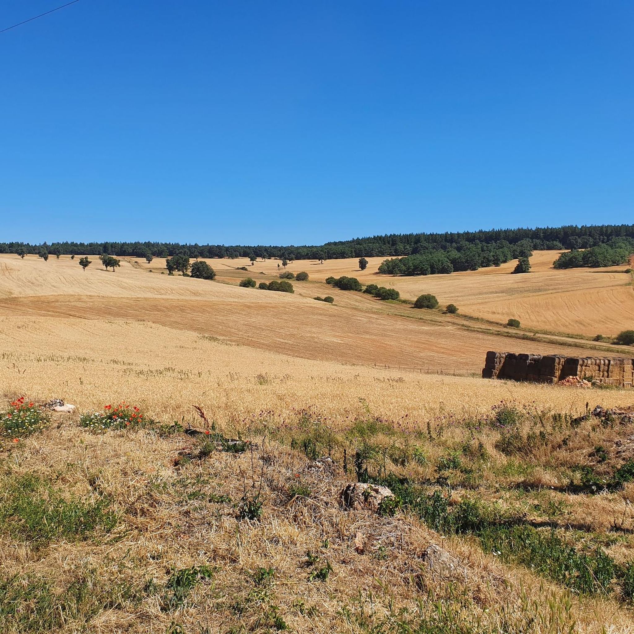
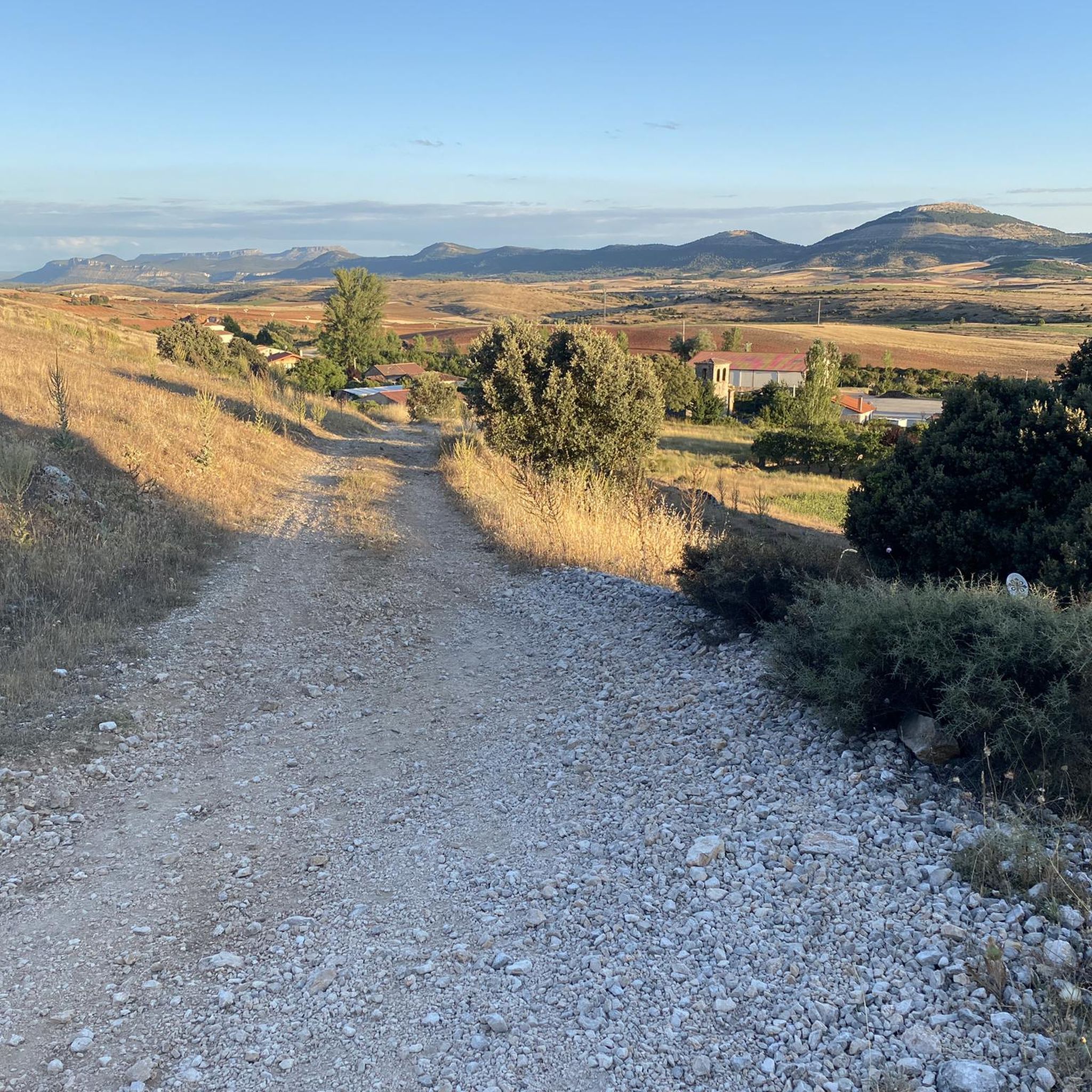


Tips from the Community

A beautiful village in the Sierra de la Demanda for mountain hiking.
0
0

Crossing of the hill path with the path down to Tinieblas de la Sierra.
1
1
Right at the top of Campo de los Corros.
1
1

The Cubillejo/Mazariegos dolmen is considered the prototype of the megalithic passage tomb and preserves, on one of the large stone blocks that form its structure, a series of interesting rock carvings.
0
0
a highly recommended area for hiking.
0
0
A nice area for activities.
3
0
Frequently Asked Questions
How many hiking trails are available around Villoruebo?
There are over 15 hiking routes around Villoruebo, offering a range of experiences from easy strolls to more challenging moderate hikes. The region is known for its diverse terrain, including historical sites and open landscapes.
Are there any easy hiking routes suitable for beginners in Villoruebo?
While most routes in Villoruebo are classified as moderate, there is at least one easy route available. These trails typically feature gentle gradients and well-maintained paths, making them suitable for those new to hiking or looking for a relaxed walk.
What is the typical duration of hikes in the Villoruebo area?
Hikes around Villoruebo vary in length, with most moderate routes taking between 3 to 5 hours to complete. For example, the Desfiladero de los Castros loop from Revilla del Campo typically takes around 3 hours 17 minutes, while the Campo de los Corros – Pico Mencilla loop from Tinieblas de la Sierra can take closer to 5 hours.
Are there any circular walks around Villoruebo?
Yes, several routes in the area are circular, allowing you to start and end at the same point. An example is the Climb to Castillo Infantes de Lara — circular from Aceña de Lara, which offers a loop through historical areas.
What kind of historical sites or landmarks can I see while hiking near Villoruebo?
The hiking trails around Villoruebo often lead past significant historical sites. You can explore ancient dolmens, such as those mentioned in the Quintanilla de las Viñas route, and discover historical castles like the Castillo Infantes de Lara. Other notable landmarks include the Romanesque Bridge of Los Ausines.
What do other hikers say about the trails in Villoruebo?
The trails in Villoruebo are highly rated by the komoot community, with an average score of 4.4 stars from over 10 reviews. Hikers often praise the combination of historical landmarks with natural landscapes and the varied terrain that offers options for different ability levels.
Are the hiking trails in Villoruebo suitable for families?
The region offers a mix of easy and moderate trails. While specific family-friendly routes are not explicitly highlighted, the presence of easy routes and the generally moderate difficulty of others suggest that many paths could be suitable for families with varying levels of hiking experience. Consider routes with shorter distances and less elevation gain for younger children.
What is the best time of year to go hiking in Villoruebo?
Villoruebo's trails can be enjoyed throughout much of the year. Spring and autumn generally offer pleasant temperatures and vibrant scenery, making them ideal for hiking. Summer can be warm, so early morning or late afternoon hikes are recommended. Winter hikes are possible, but conditions may vary, and appropriate gear is essential.
Are there any specific peaks or viewpoints accessible via hiking trails?
Yes, the area around Villoruebo features several peaks that offer panoramic views. Notable summits include Pico Mencilla, Castillejo, and Cerro San Cristóbal. Some hiking routes, like the Campo de los Corros – Pico Mencilla loop, will take you towards these elevated points.
Can I find parking easily at the trailheads in Villoruebo?
While specific parking information for each trailhead is not detailed, Villoruebo and surrounding villages typically offer public parking options. It is advisable to check local signage or community information for the most convenient parking spots near your chosen starting point.
Are dogs allowed on the hiking trails in Villoruebo?
Generally, dogs are welcome on many hiking trails in rural areas like Villoruebo, especially if kept on a leash. However, it's always best to check local regulations or specific trail rules, particularly in protected natural areas or near livestock, to ensure a pleasant and safe experience for everyone.
Most popular attractions around Villoruebo

Get inspired with the komoot mobile app


Explore more
Browse the best Hikes in other regions.
