The best running trails around Mancor De La Vall
4.3
(191)
5,082
runners
13
runs
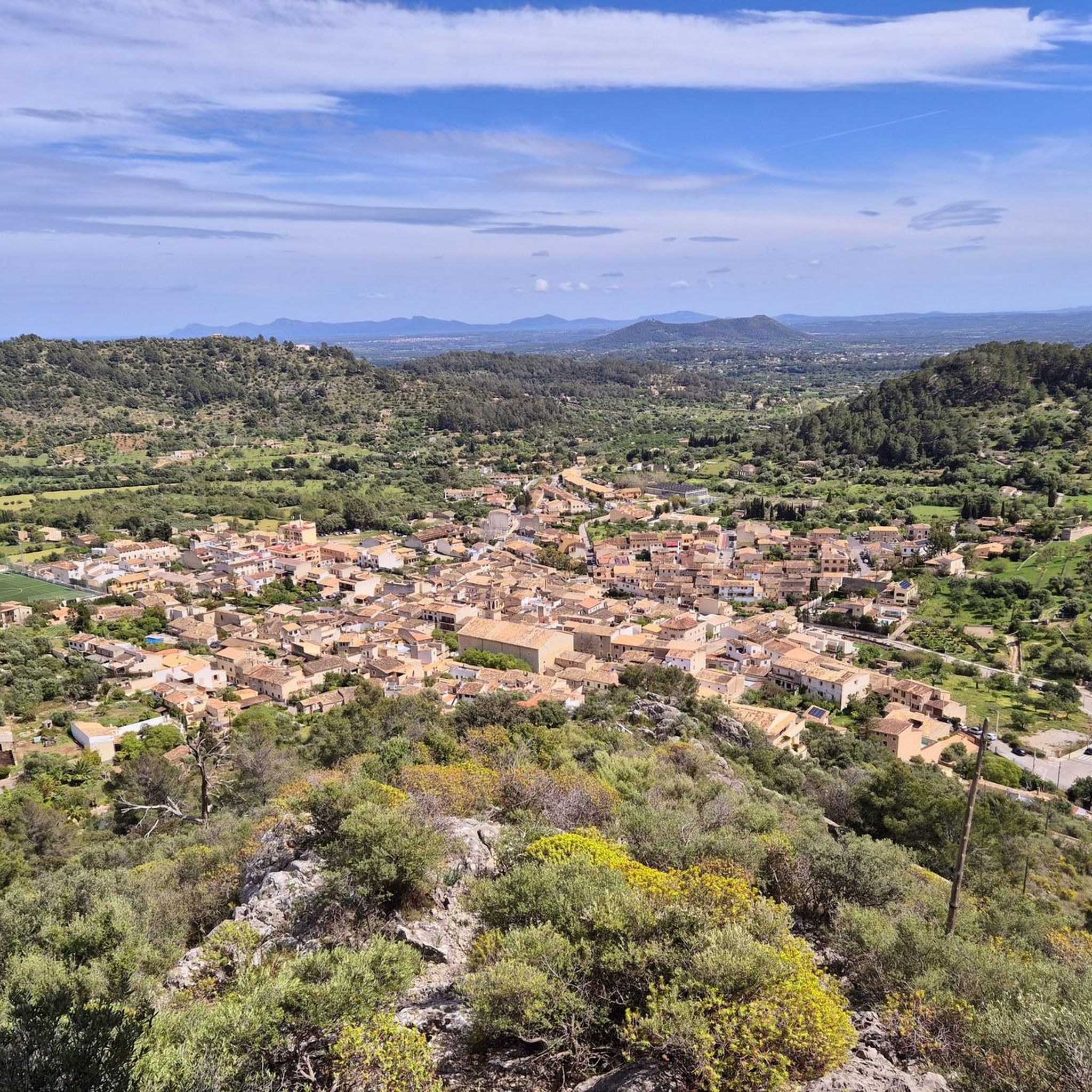
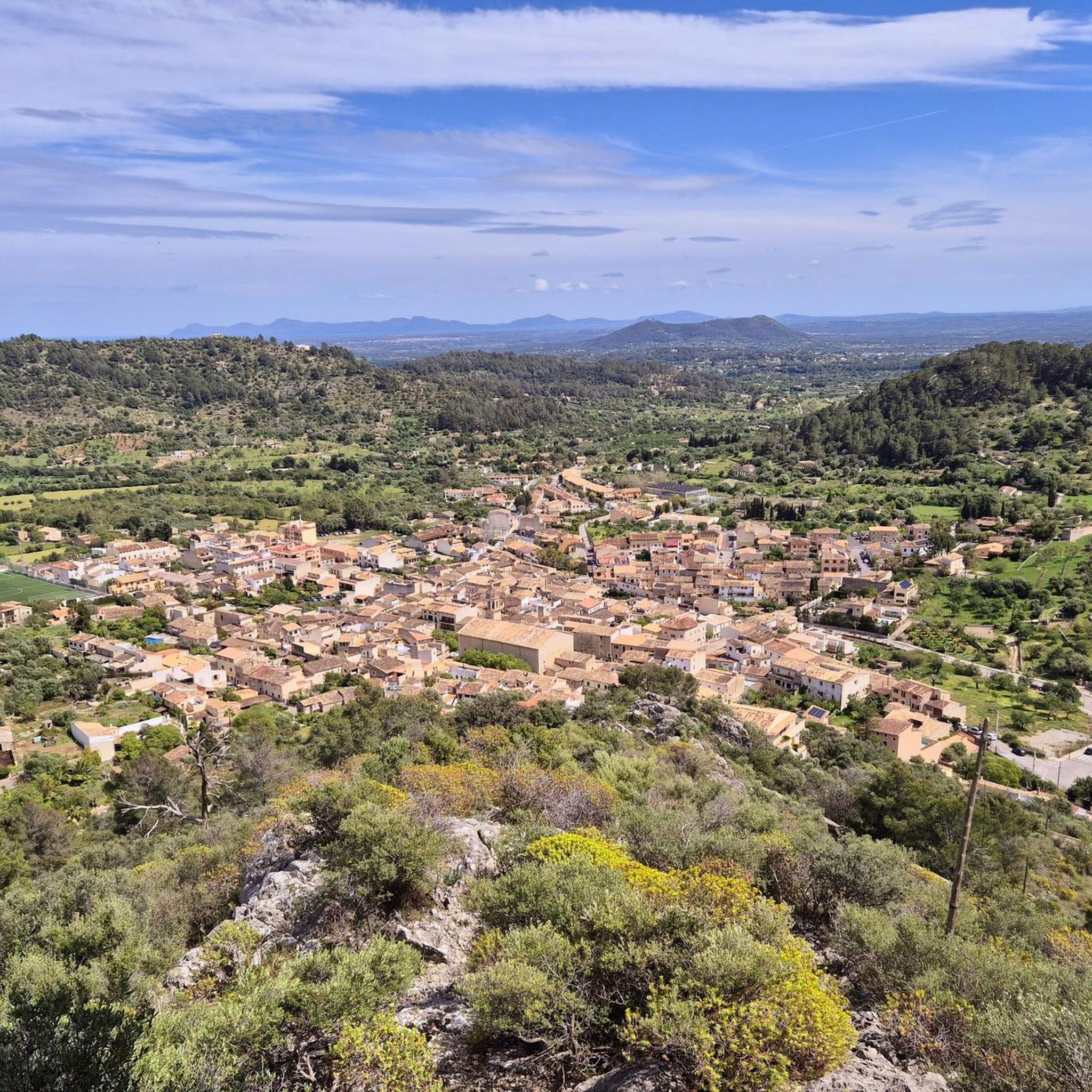
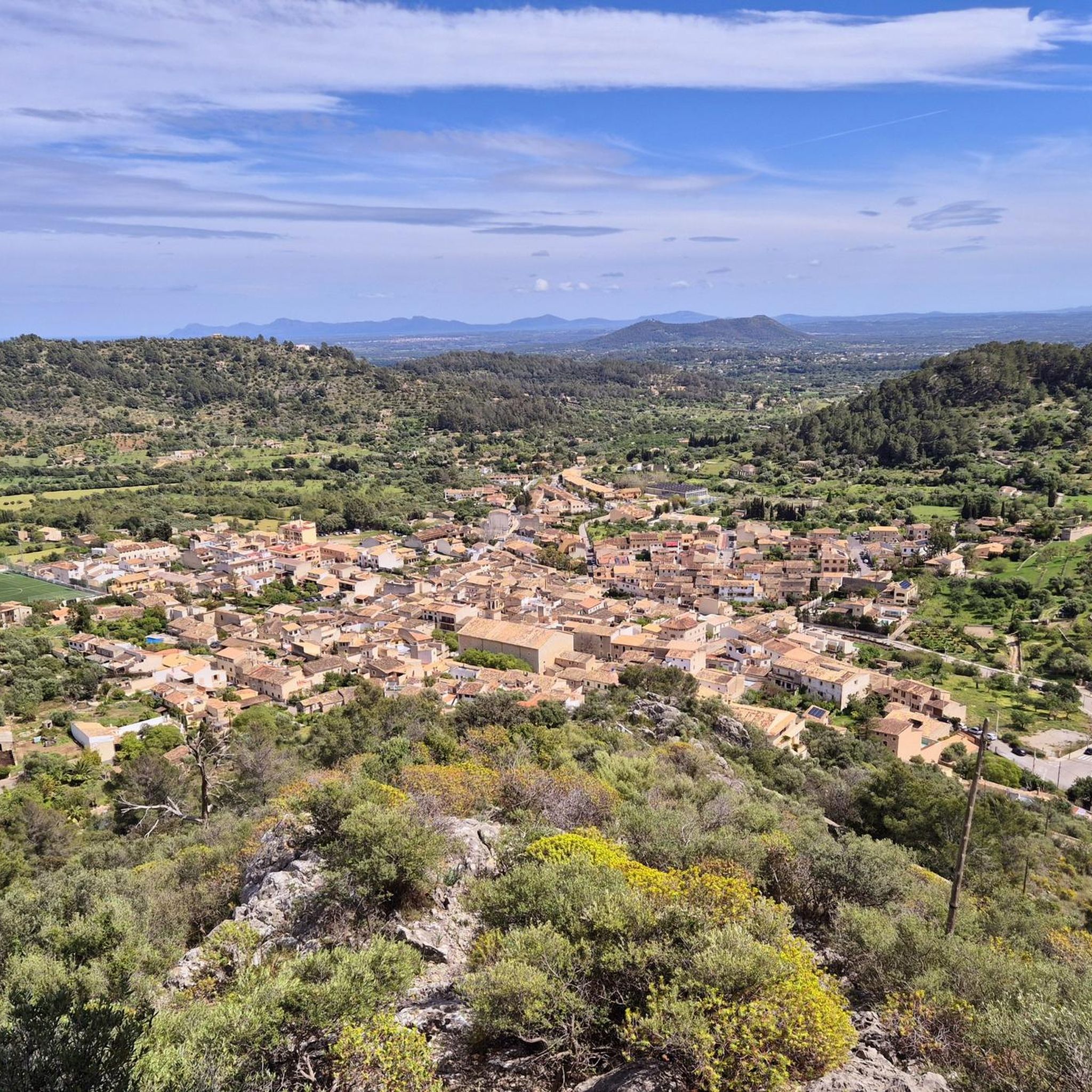
Jogging routes around Mancor De La Vall are set within the foothills of the Serra de Tramuntana mountains in Mallorca. The region features diverse terrain, including gentle slopes, rugged paths, and wooded lower levels, with well-constructed limestone paths at higher elevations. This landscape is characterized by forests, olive groves, and agricultural lands, providing varied backdrops for running. Small mountains like Puig de Sa Fita and Puig de Suro surround the village, offering scenic views and challenging ascents.
Best jogging routes…
Last updated: October 8, 2026
32
runners
8.48km
00:53
80m
80m
Moderate run. Good fitness required. Mostly paved surfaces. Suitable for all skill levels.
4.0
(2)
26
runners
8.67km
00:55
130m
130m
Moderate run. Good fitness required. Mostly paved surfaces. Suitable for all skill levels.

19
runners
26.2km
03:59
1,190m
1,190m
Hard run. Very good fitness required. Sure-footedness, sturdy shoes and alpine experience required.
3.0
(2)
14
runners
6.00km
00:39
80m
80m
Moderate run. Good fitness required. Mostly paved surfaces. Suitable for all skill levels.
14
runners
24.5km
03:40
1,070m
1,070m
Hard run. Very good fitness required. Sure-footedness, sturdy shoes and alpine experience required.
Get access to more routes and recommendations from other explorers.
Already have an account?
Our route recommendations are based on thousands of hikes, rides, and runs completed by other people on komoot.
Start today with a free account
Your next adventure awaits.


Tips from the Community

The information board of the GR 221 at Font des Prat explains the route through the Serra de Tramuntana. Between the water source, mountains, and old shepherd paths, it serves as an important orientation point for hikers. A practical detail along the way that meaningfully connects nature and the long-distance trail.
1
0
The mountain stream near Refugi de Tossals Verds winds through the barren landscape of the Serra de Tramuntana and brings fresh water to the otherwise dry high mountains. Between rocks, moss, and small pools, a quiet, natural oasis is created. An atmospheric section that makes the original power of the mountain landscape palpable.
1
0
The view of the old aqueduct in the Serra de Tramuntana reveals a historic structure that elegantly winds through the mountain landscape. The stone arches blend harmoniously among rocks, terraces, and vegetation. An impressive testament to early water management, uniquely combining nature and engineering.
1
0
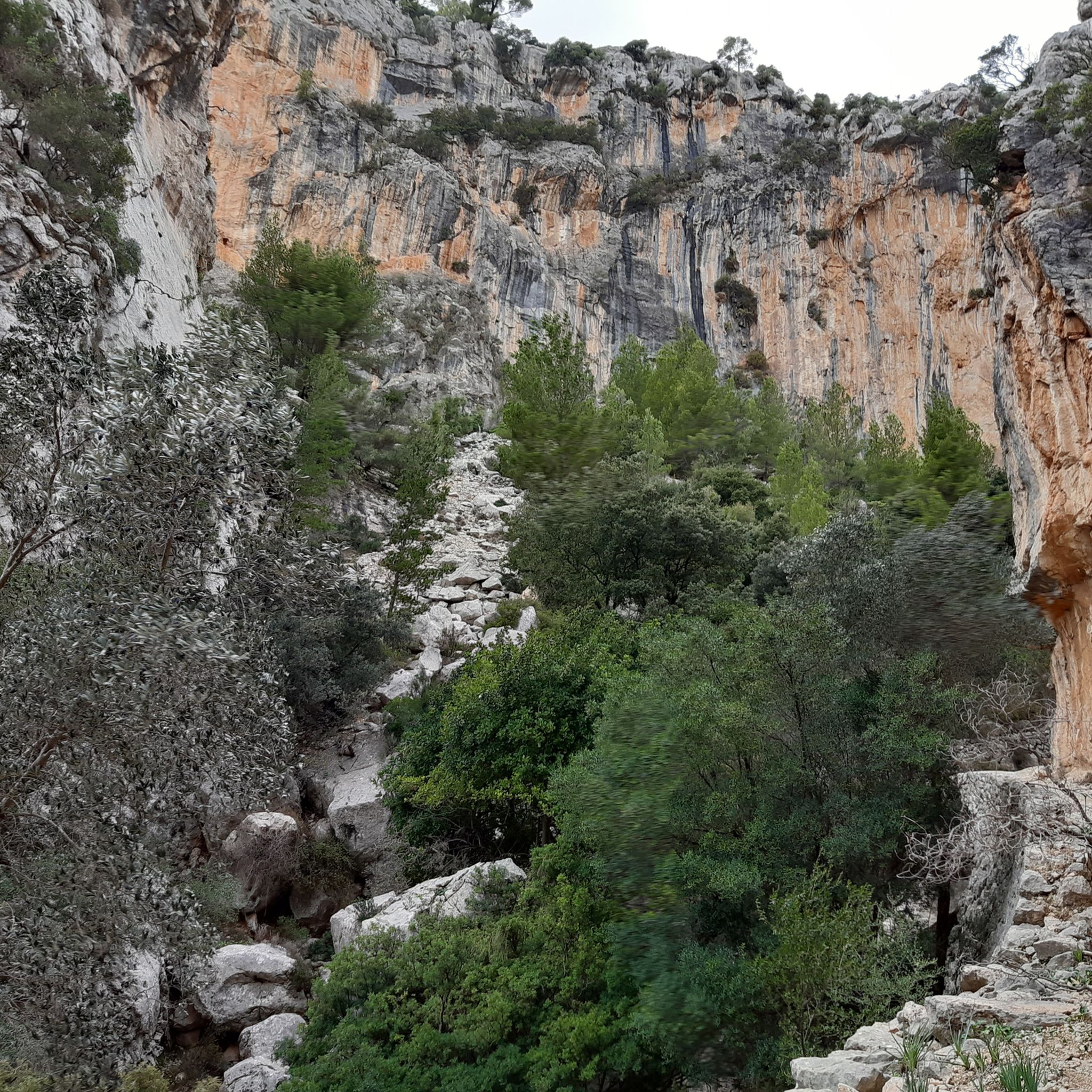
Between the steep rock faces of the Serra de Tramuntana, a wide view opens up into the valley with its curved lines and shady slopes. The landscape appears particularly deep and calm from above, characterized by rock, forest, and scattered paths. An impressive viewpoint that makes the dimensions of the mountain world intensely palpable.
1
0
A dry stone wall in the Serra de Tramuntana is a testament to traditional craftsmanship and centuries-old landscape management. Stacked without mortar, the stones blend harmoniously into the mountain landscape. A characteristic element that uniquely combines the culture and nature of the Tramuntana.
1
0
The Coll del Prat is a striking mountain pass between Puig Major and Puig de Massanella in the Serra de Tramuntana. The wide, open high plateau meets a rocky landscape and sparse vegetation with impressive mountain panoramas. An impressive transition point for ambitious hikers in a high alpine environment.
1
0

If you are afraid of heights the bridge might pose a bit of a problem. Also the path after the bridge follows the cliff wall and there are some sections with a long drop to the right. Also there is one spot where you will have to scramble / crawl a bit through a small hole in the cliff. So this section can be a bit of a challenge.
0
0

The dry stone walls, known in Catalan as "marges," consist simply of stones stacked on top of each other, without mortar or binding agents. They crisscross the island for miles. They are used as terraces on steep slopes, as field boundaries, to direct water in the Serra, or simply to remove stones from the ground. They often last for centuries; the oldest probably date back to the Moorish period (from the 10th century onwards), and many from the 17th to 19th centuries. The often-used term "pedra en sce" describes the construction method, which involves stacking stones without binding agents. There are now renewed training projects, for example, from the "Escola de Margers," to preserve the craft. An experienced Marger can tell who built it by looking at the wall itself – each has its own style, almost like a signature.
5
0
Frequently Asked Questions
How many running routes are available around Mancor de la Vall?
Mancor de la Vall offers a wide selection of over 230 running routes. These trails cater to various preferences, including 28 easy routes, 147 moderate paths, and 55 challenging trails for experienced runners.
What kind of terrain can I expect on the jogging routes in Mancor de la Vall?
The region provides diverse terrain for joggers. You'll find everything from gentle slopes and rugged paths through the Serra de Tramuntana mountains to wooded lower levels and well-constructed limestone paths at higher elevations. This variety ensures a rewarding experience, often gentler on the legs than paved roads.
Are there any easy or beginner-friendly running routes in the area?
Yes, Mancor de la Vall has 28 easy running routes perfect for beginners or those looking for a relaxed jog. These trails often wind through tranquil olive groves and agricultural lands, providing a pleasant and less strenuous experience. For example, the Running loop from Mancor de la Vall is a moderate 6 km route that is a great introduction to the local surroundings.
Can I find circular running routes in Mancor de la Vall?
Absolutely. Many of the running routes around Mancor de la Vall are circular, allowing you to start and finish in the same location. This includes popular options like the Running loop from Mancor de la Vall and the more challenging Scenic Mountain Trail loop from Mancor de la Vall, which offers extensive mountain views.
What are the best times of year for jogging in Mancor de la Vall?
While running is possible year-round, spring and autumn offer the most comfortable conditions for jogging in Mancor de la Vall. The temperatures are milder, and the natural landscapes are particularly vibrant, making for a more enjoyable outdoor experience.
Are there any scenic viewpoints or landmarks along the running trails?
Yes, many routes offer stunning views. The village is surrounded by small mountains like Puig de Sa Fita and Puig de Suro, providing picturesque backdrops. A rewarding jog can take you to the Cúber Reservoir or the historic Santa Lucía Chapel, which offers beautiful panoramic views overlooking the town and surrounding forest. The Scenic Mountain Trail loop from Mancor de la Vall is specifically known for its extensive mountain vistas.
Are the running routes in Mancor de la Vall suitable for families?
Yes, many trails are suitable for families, especially the easier and moderate routes that wind through olive groves and less challenging terrain. The serene rural environment and varied landscapes provide a pleasant setting for family outings. Look for routes with lower elevation changes and shorter distances for a more family-friendly experience.
What kind of wildlife might I encounter on the trails?
Joggers can immerse themselves in nature and spot local flora and fauna within the forests and diverse natural areas. The Serra de Tramuntana is home to over 180 species of wildlife, offering opportunities to discover the stunning nature of the region during your run.
Is parking available near the running routes in Mancor de la Vall?
Mancor de la Vall is a small, tranquil village, and parking is generally available within or on the outskirts of the village, often close to trailheads. It's advisable to check local signage for specific parking regulations, especially in residential areas.
What do other runners say about the trails in Mancor de la Vall?
The running routes in Mancor de la Vall are highly rated by the komoot community, with an average score of 4.3 stars from over 160 reviews. Runners often praise the tranquil olive groves, diverse forest paths, and the stunning mountainous scenery that defines the area, making it a favorite for those seeking a quiet escape.
Are there any longer, more challenging running trails for experienced athletes?
Yes, for experienced trail runners, Mancor de la Vall offers challenging routes with significant elevation changes. The Scenic Mountain Trail loop from Mancor de la Vall is a difficult 24.4 km path with over 1000 meters of ascent, providing extensive mountain views and a demanding workout.
Can I find running routes that connect to nearby villages?
Yes, some routes connect Mancor de la Vall to neighboring areas, allowing you to explore more of the region. For instance, the Caimari Village – Road to Caimari loop from Mancor de la Vall is a 12 km trail that leads through rural landscapes towards the nearby village of Caimari.
Most popular routes around Mancor De La Vall
Most popular attractions around Mancor De La Vall

Get inspired with the komoot mobile app


Explore more
Browse the best Running Trails & Routes in other regions.
