The best running trails around National Park Sierra y los Cañones Guara
4.5
(15)
1,294
runners
26
runs
Jogging around National Park Sierra y los Cañones Guara offers diverse and dramatic landscapes. The region is characterized by stunning karst topography, featuring deep canyons, gullies, and hills carved by water erosion. Runners can experience varied ecosystems, from Mediterranean forests at lower elevations to pine and fir trees at higher altitudes. Significant altitude variations provide routes suitable for different fitness levels, ranging from challenging mountain paths to more moderate trails.
Best jogging routes around National Park Sierra y los Cañones…
Last updated: October 29, 2026
26
runners
Hard run. Very good fitness required. Mostly paved surfaces.
24
runners
22.6km
03:30
1,370m
1,370m
Hard run. Very good fitness required. Mostly runnable paths. Some sure-footedness required.

29
runners
21.6km
03:51
1,410m
1,410m
Hard run. Very good fitness required. Mostly runnable paths. Some sure-footedness required.
4.0
(2)
22
runners
17.3km
02:48
910m
910m
Hard run. Very good fitness required. Sure-footedness, sturdy shoes and alpine experience required.
12
runners
16.1km
02:31
1,070m
1,070m
Hard run. Very good fitness required. Mostly runnable paths. Some sure-footedness required.
Get access to more routes and recommendations from other explorers.
Already have an account?
Our route recommendations are based on thousands of hikes, rides, and runs completed by other people on komoot.
Start today with a free account
Your next adventure awaits.
Popular around National Park Sierra y los Cañones Guara
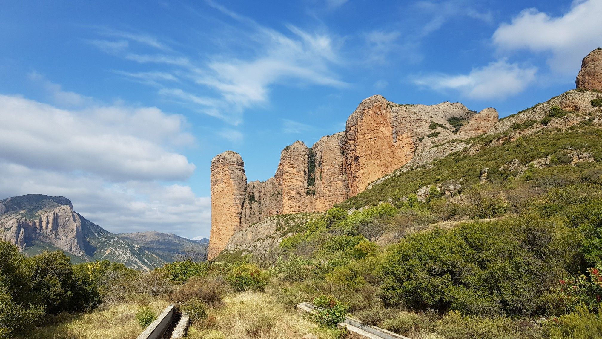
Monumental landscapes and culture — the Pre-Pyrenees by MTB
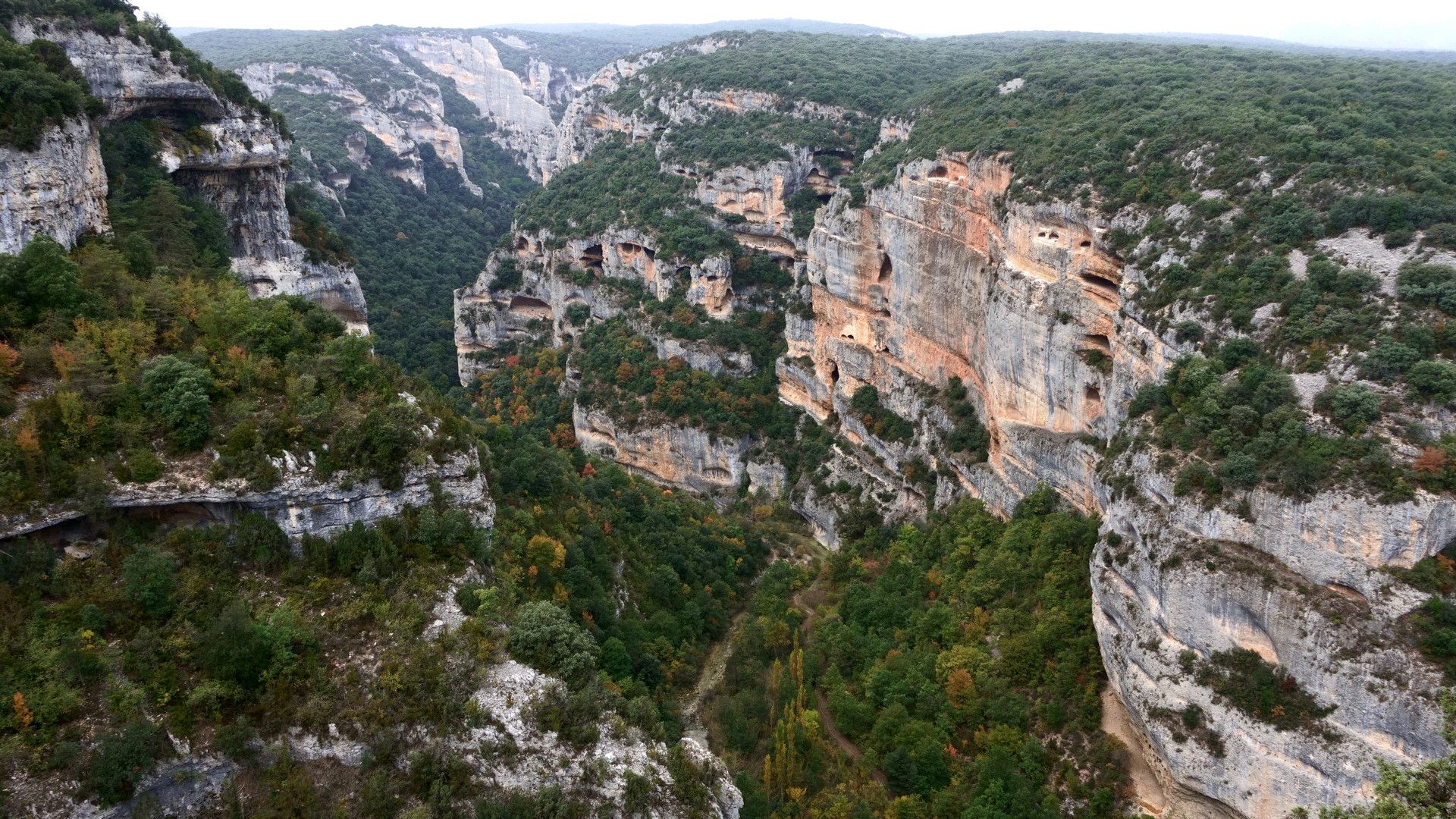
Trails and paths – Sierra de Guara and Biello Sobrarbe
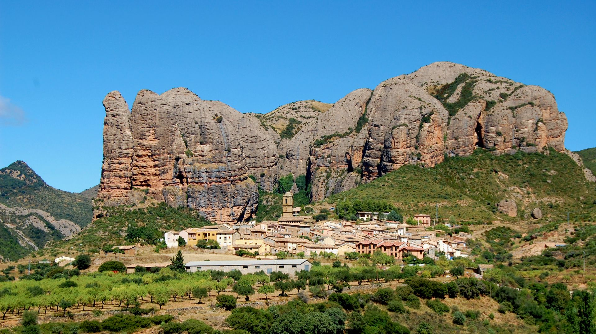
Land of rock and water – Sendero Histórico en Aragón
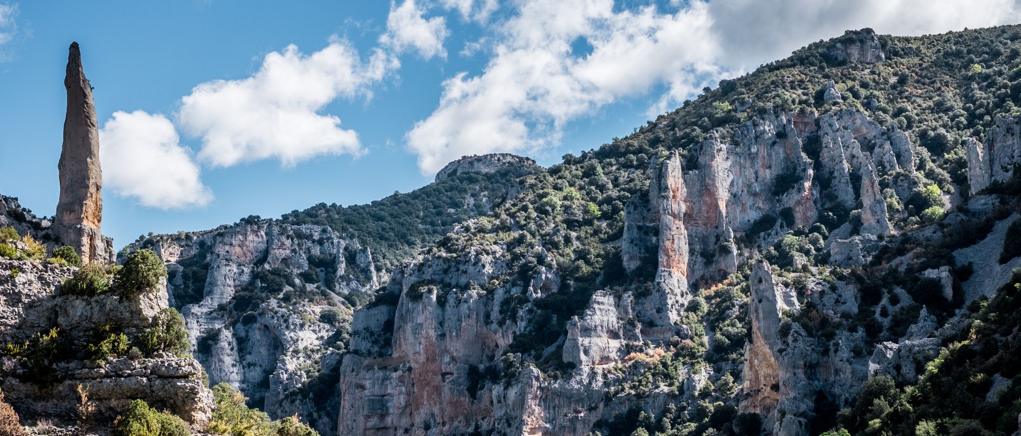
Sierra de Guara — steep rocks and green mountains
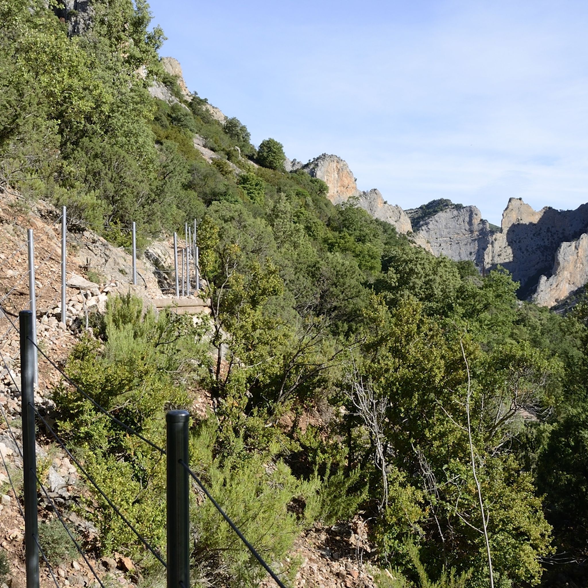
Hiking around National Park Sierra y los Cañones Guara
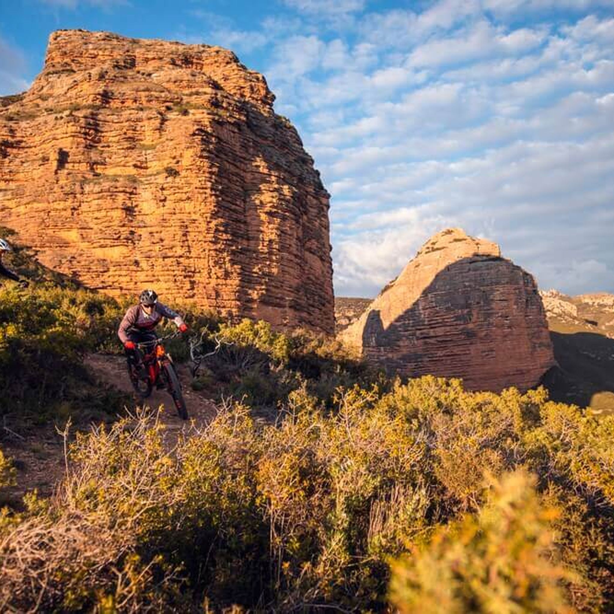
MTB Trails around National Park Sierra y los Cañones Guara
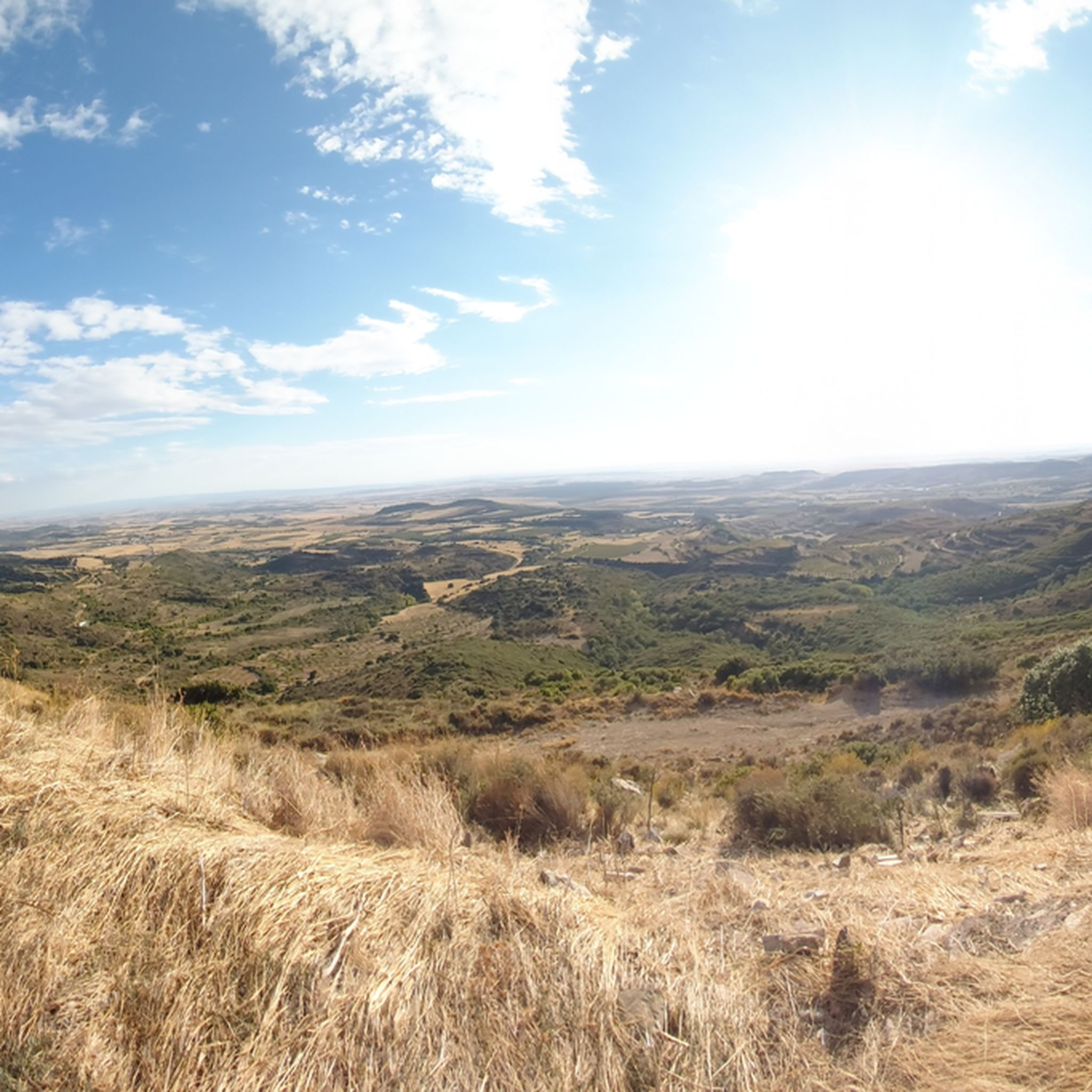
Road Cycling Routes around National Park Sierra y los Cañones Guara

Gravel biking around National Park Sierra y los Cañones Guara
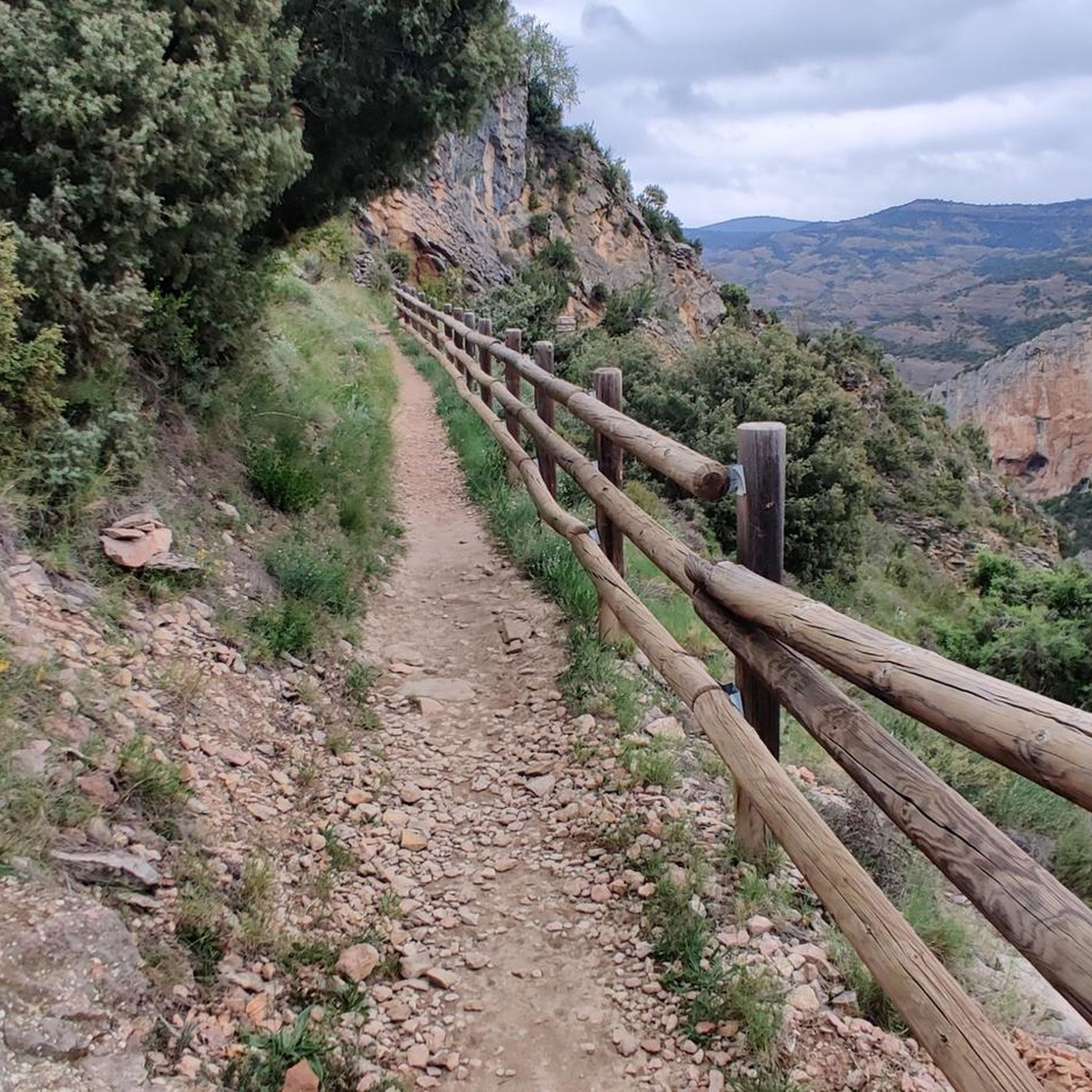
Cycling around National Park Sierra y los Cañones Guara
Other adventures around National Park Sierra y los Cañones Guara


Tips from the Community

Roof of the Sierra de Guara. Mountain experience necessary
0
0

From this roof of the Pre-Pyrenees you can see the entire Aragonese Pyrenees and even beyond.
0
0

Very good route to do with children and by bicycle, very exposed to the sun, in hot months not highly recommended
1
0
good physical shape, bring water and protect yourself from the sun
0
0

Spectacular views of the entire Pyrenees and the Plana de Huesca
0
0
Frequently Asked Questions
How many running routes are available in National Park Sierra y los Cañones Guara?
The National Park Sierra y los Cañones Guara offers nearly 30 dedicated running routes. These range from moderate to difficult, providing options for various fitness levels amidst its dramatic landscapes.
Are there any easy jogging routes for beginners in the Sierra de Guara National Park?
While many routes in Sierra y los Cañones Guara are rated moderate to difficult due to the varied terrain and elevation changes, there are options suitable for those looking for a less strenuous experience. It's recommended to check the route details on komoot for specific difficulty ratings and elevation profiles to find the best fit for beginners.
What kind of terrain can I expect on the jogging trails in this region?
Jogging trails in National Park Sierra y los Cañones Guara feature diverse and dramatic landscapes. You'll encounter stunning karst topography with deep canyons, gullies, and hills. The routes traverse varied ecosystems, from Mediterranean forests at lower elevations to pine and fir trees at higher altitudes, offering a mix of surfaces and scenery.
Are there any circular running routes in National Park Sierra y los Cañones Guara?
Yes, many of the running routes in the park are circular, allowing you to start and finish at the same point. For example, the popular Plano Forest – View of the Huevo de San Cosme loop from Santa Eulalia la Mayor is a challenging 11.4 km loop, and the Pico Fraxinito loop from La Tejería offers a 16.8 km mountainous circuit.
What are some notable natural features or viewpoints I can see while running in the park?
The park is renowned for its stunning natural beauty. You can expect to see dramatic karst formations, deep river canyons, and diverse forest ecosystems. Keep an eye out for spectacular waterfalls and natural pools with turquoise waters along rivers like the Vero, Mascún, and Alcanadre. The Picamartillo Cave is also a notable natural highlight.
Are there any historical or cultural landmarks along the running routes?
Beyond its natural beauty, the park holds cultural significance. Some routes may pass by or near historical sites. For instance, you might encounter the Dolmen of Losa Mora or the Esconjuradero of Morrano. The historic village of Alquézar, with its medieval charm, also serves as a starting point for several trails.
What do other runners say about the trails in National Park Sierra y los Cañones Guara?
The running routes in National Park Sierra y los Cañones Guara are highly rated by the komoot community, with an average score of 4.8 stars from over 10 reviews. Runners often praise the dramatic karst formations, deep river canyons, and diverse forest ecosystems that make for a unique and challenging experience.
Are there any challenging long-distance running options in the area?
Yes, for experienced trail runners seeking a challenge, the park offers several difficult long-distance routes. The Tozal de Guara – Ermita de la Fabana loop from La Tejería is a demanding 20.4 km trail through high mountain landscapes, often completed in about 3 hours 28 minutes. Another challenging option is the 2042 – Tozal de Guara loop from Los Carboneros, also around 20.4 km with significant elevation gain.
What is the best season for jogging in National Park Sierra y los Cañones Guara?
The diverse landscapes and altitude variations mean that different seasons offer unique experiences. Spring and autumn generally provide pleasant temperatures for running. Summers can be hot, especially at lower elevations, making early mornings or late afternoons preferable. Higher altitude routes might be more accessible in warmer months, while some areas could be affected by snow in winter.
Are there any specific considerations for parking when accessing trailheads?
While specific parking details vary by trailhead, the park's popularity for outdoor activities generally means that designated parking areas are available near common starting points for trails. It's advisable to check route descriptions on komoot or local park information for precise parking locations and any potential fees or restrictions before your visit.
Can I find routes that offer views of reservoirs or lakes?
Yes, the region features beautiful water bodies. The Vadiello Reservoir is a notable lake in the area, and some running routes may offer scenic views of it or pass nearby. These spots can provide refreshing sights during your run.
Most popular routes around National Park Sierra y los Cañones Guara
Most popular attractions around National Park Sierra y los Cañones Guara

Get inspired with the komoot mobile app


Explore more
Browse the best Running Trails & Routes in other regions.
