The best walks and hikes around L'Aleixar
4.3
(292)
1,507
hikers
32
hikes
Hiking around L'Aleixar offers diverse landscapes characterized by extensive fields of hazelnuts, olive trees, and vineyards. The region features rolling hills and elevated viewpoints, providing varied terrain for outdoor activities. Notable natural features include ancient holm oaks and the presence of dry stone huts, reflecting the area's agricultural heritage. These elements combine to create a rich environment for exploration.
Best hiking trails around L'Aleixar
- The most popular hiking route is Ascent to Rocabruna via the Mirador de les Muntanyes de…
Last updated: June 23, 2026
4.3
(7)
30
hikers
Moderate hike. Good fitness required. Easily-accessible paths. Suitable for all skill levels.
4.2
(5)
11
hikers
8.50km
02:41
330m
330m
Hike the moderate 5.3-mile Ascent to Rocanys from Ermita de Sant Blai, a circular route near Aleixar with panoramic views.

Sign up for free
1
hikers
17.6km
05:46
790m
790m
This difficult 10.9-mile circular hike to Puig de la Torre includes the Via Ferrata dels Patacons, offering panoramic views and a technical
5.0
(1)
2
hikers
7.50km
02:12
220m
220m
Moderate hike. Good fitness required. Easily-accessible paths. Suitable for all skill levels.
5.0
(1)
2
hikers
6.90km
01:55
130m
130m
Explore historical dry-stone huts on this easy 4.3-mile (6.9 km) circular hike from Aleixar, featuring the Stone hut of Gàllera.
Get access to more routes and recommendations from other explorers.
Sign up for free
Already have an account?
Our route recommendations are based on thousands of hikes, rides, and runs completed by other people on komoot.
Start today with a free account
Your next adventure awaits.
Login or Signup
Tips from the Community

Very cool route, but the road is very dirty. There is still work to be done to clear the undergrowth. Lots of branches and plants along the road, quite uncomfortable. But the route is very beautiful.
0
0

Impressive path that passes through this rocky area full of holes and steep paths with beautiful views from the Cingles de la Mussara.
0
0
At the top of the Serret de Podadora is this peak that reaches 500 meters in height and gives us good views of the Prades and Montsant Mountains.
0
1
Small hill that reaches 577 meters high and where it offers good views of the northern area of this small mountain range north of Reus.
0
0
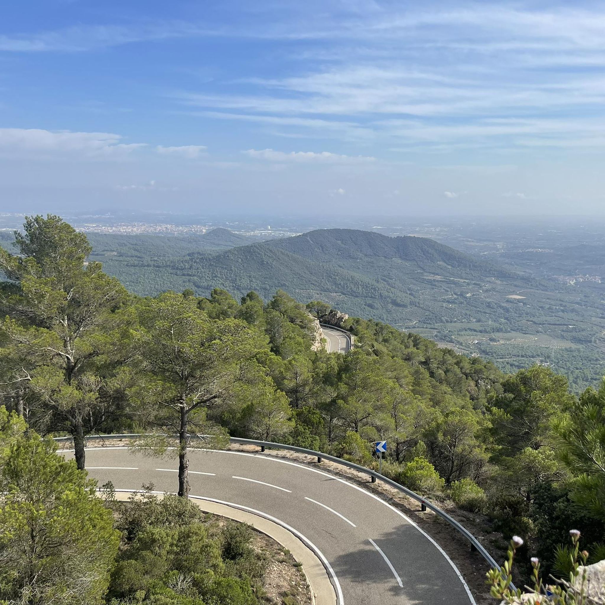
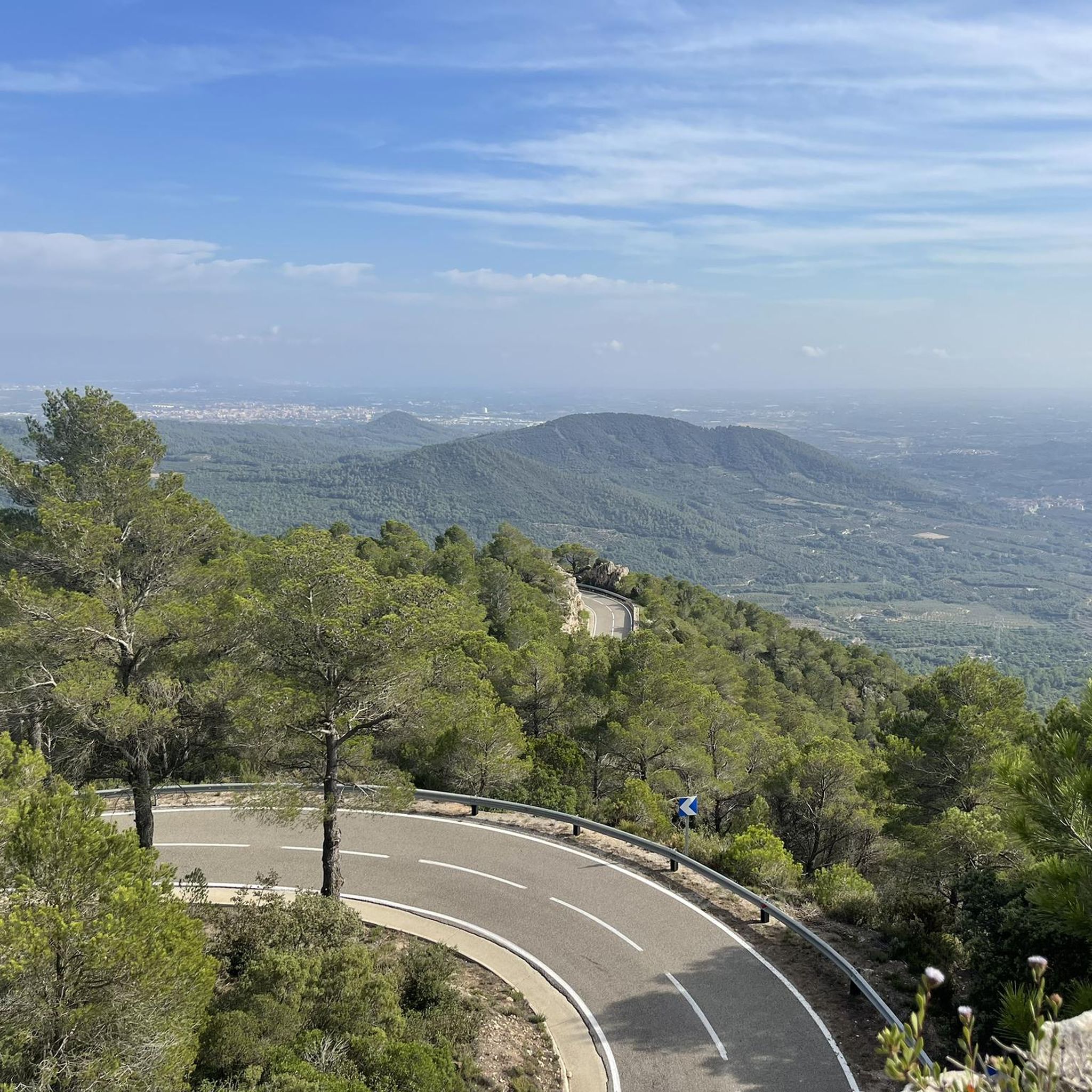
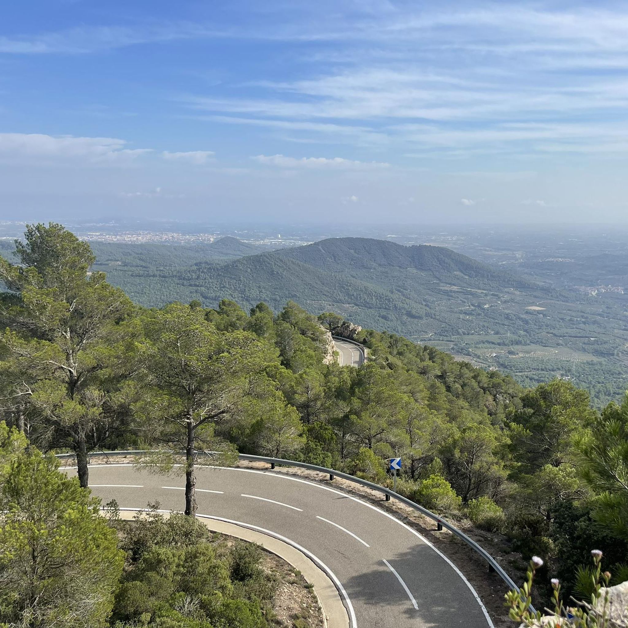
Beautiful panorama that is found on this track that is above the nucleus of Aleixar and in the background you can see the mountain of Rocabruna.
0
0

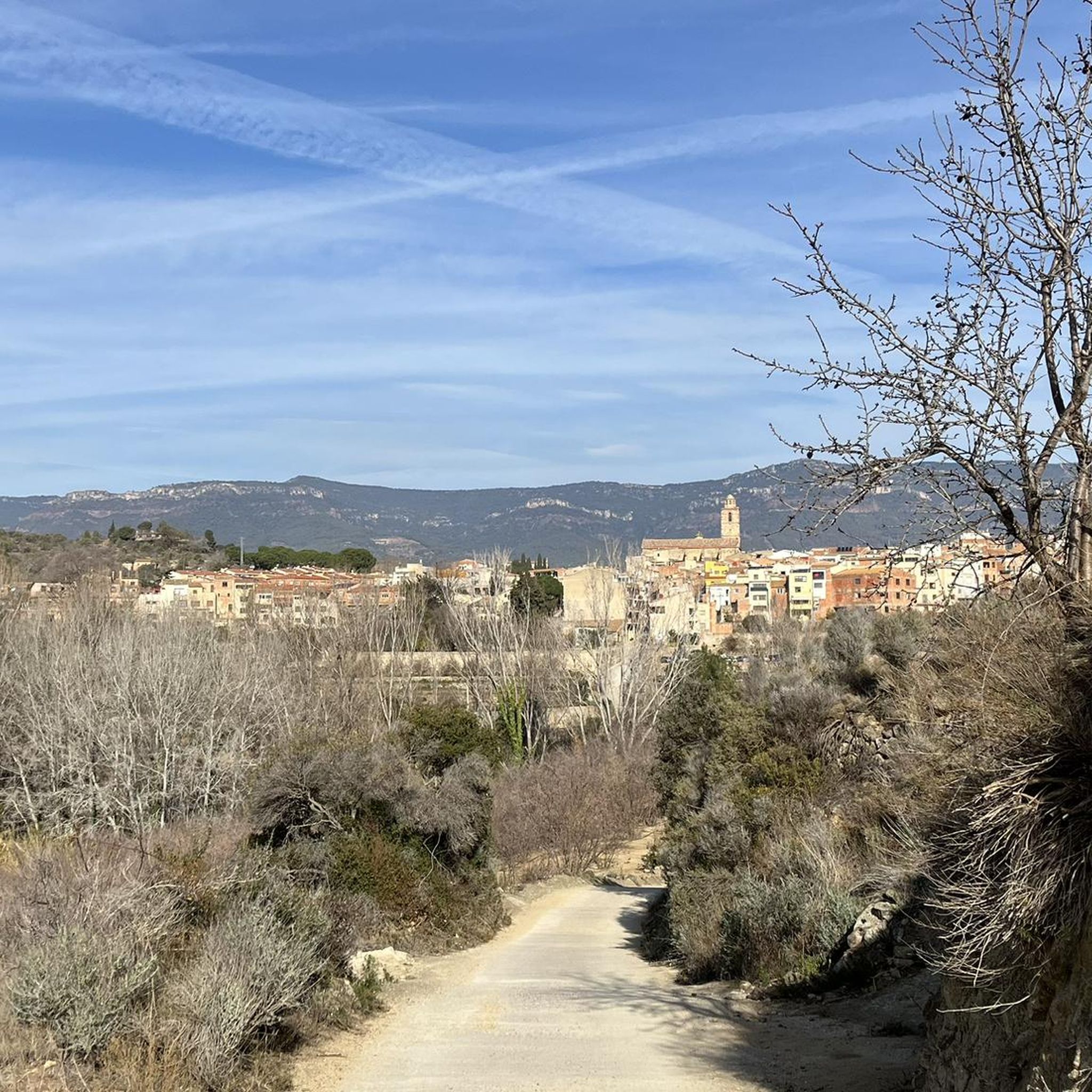
Baroque style church located in the town of Aleixar, in Baix Camp. In the Plaza de la Vila, where the church is located, there is a source of drinking water.
3
0

Puig de la Torre, popularly also known as La Mussara, is a 1,055-meter mountain located in the municipality of Vilaplana, in the Catalan region of Baix Camp. It is the highest point of the Sierra de la Mussara. At the top we can find a geodesic vertex (reference 262132001). It has a good view of the Baix Camp and the Sierra de la Mussara.
0
0

Frequently Asked Questions
How many hiking trails are available in L'Aleixar?
L'Aleixar offers a wide variety of hiking opportunities, with over 30 routes available. These trails cater to all skill levels, including 9 easy, 20 moderate, and 3 difficult options.
Are there any easy hiking trails suitable for beginners or families in L'Aleixar?
Yes, L'Aleixar has 9 easy hiking trails perfect for beginners or families. One excellent option is the Aleixar Dry Stone Huts Trail, which is approximately 6.9 km long and takes about 1 hour 55 minutes to complete. This route allows you to explore the region's agricultural heritage.
What kind of landscapes can I expect to see while hiking in L'Aleixar?
The landscapes around L'Aleixar are diverse and picturesque. You'll hike through extensive fields of hazelnuts, olive trees, and vineyards, creating a rich agricultural mosaic. The region also features rolling hills and elevated viewpoints, offering panoramic vistas, especially towards the Prades Mountains.
Are there any circular hiking routes in L'Aleixar?
Yes, many of the trails in L'Aleixar are circular, offering convenient starting and ending points. For example, the Ascent to Rocabruna via the Mirador de les Muntanyes de Prades is a moderate 6.9 km circular route with great views. Another option is the Ascent to Puig d'en Gulló, a moderate 7.5 km circular path.
What are some notable natural features or landmarks to look out for on the trails?
L'Aleixar is home to several interesting natural features. You can explore the dry stone huts that dot the agricultural landscape, reflecting the area's history. For impressive views, consider visiting Viewpoint over the Cingles de Patxeco or the summit of Rocabruna (539 m). The region also boasts a monumental holm oak, standing 11 meters tall with a diameter of 9.45 meters.
Are there any cultural or historical points of interest along the hiking routes?
Yes, some trails incorporate cultural interest points. The Ascent to Rocanys from the Ermita de Sant Blai is a moderate 8.5 km route that includes the historic Ermita de Sant Blai, offering both natural beauty and cultural insights.
What do other hikers say about the trails in L'Aleixar?
The hiking trails in L'Aleixar are highly regarded by the komoot community, with an average rating of 4.4 stars from over 250 reviews. Hikers often praise the varied terrain, the panoramic views, and the well-maintained paths that showcase the region's unique agricultural and natural beauty.
Are there any challenging routes for experienced hikers?
Yes, for experienced hikers seeking a challenge, L'Aleixar offers several difficult routes. The Puig de la Torre and GR 172 Loop is a demanding 17.6 km trail that typically takes around 5 hours 46 minutes to complete, leading through varied and elevated terrain.
Can I find viewpoints with panoramic scenery in L'Aleixar?
Absolutely. Many routes in L'Aleixar offer stunning panoramic views, especially of the Prades Mountains. The Ascent to Rocabruna via the Mirador de les Muntanyes de Prades is specifically known for its breathtaking vistas from the Mirador. You can also find great views from Viewpoint over the Cingles de Patxeco.
Are there any caves or unique rock formations to explore?
Yes, the region around L'Aleixar features interesting geological formations. You can explore natural monuments like Foradada Rock. There are also caves such as Cave of the Cranes and Els Avencs de la Febró for those interested in subterranean exploration.
What is the best time of year to go hiking in L'Aleixar?
L'Aleixar's diverse agricultural landscapes, with hazelnuts, olive trees, and vineyards, make it appealing across seasons. Spring and autumn generally offer the most comfortable temperatures for hiking, with vibrant colors in spring and rich hues in autumn. The region's fertile nature suggests pleasant conditions for outdoor activities for much of the year.
Most popular routes around L'Aleixar
Most popular attractions around L'Aleixar

Get inspired with the komoot mobile app


Explore more
Browse the best Hikes in other regions.
