The best running trails around National Park Sierras Subbéticas
4.6
(7)
730
runners
15
runs
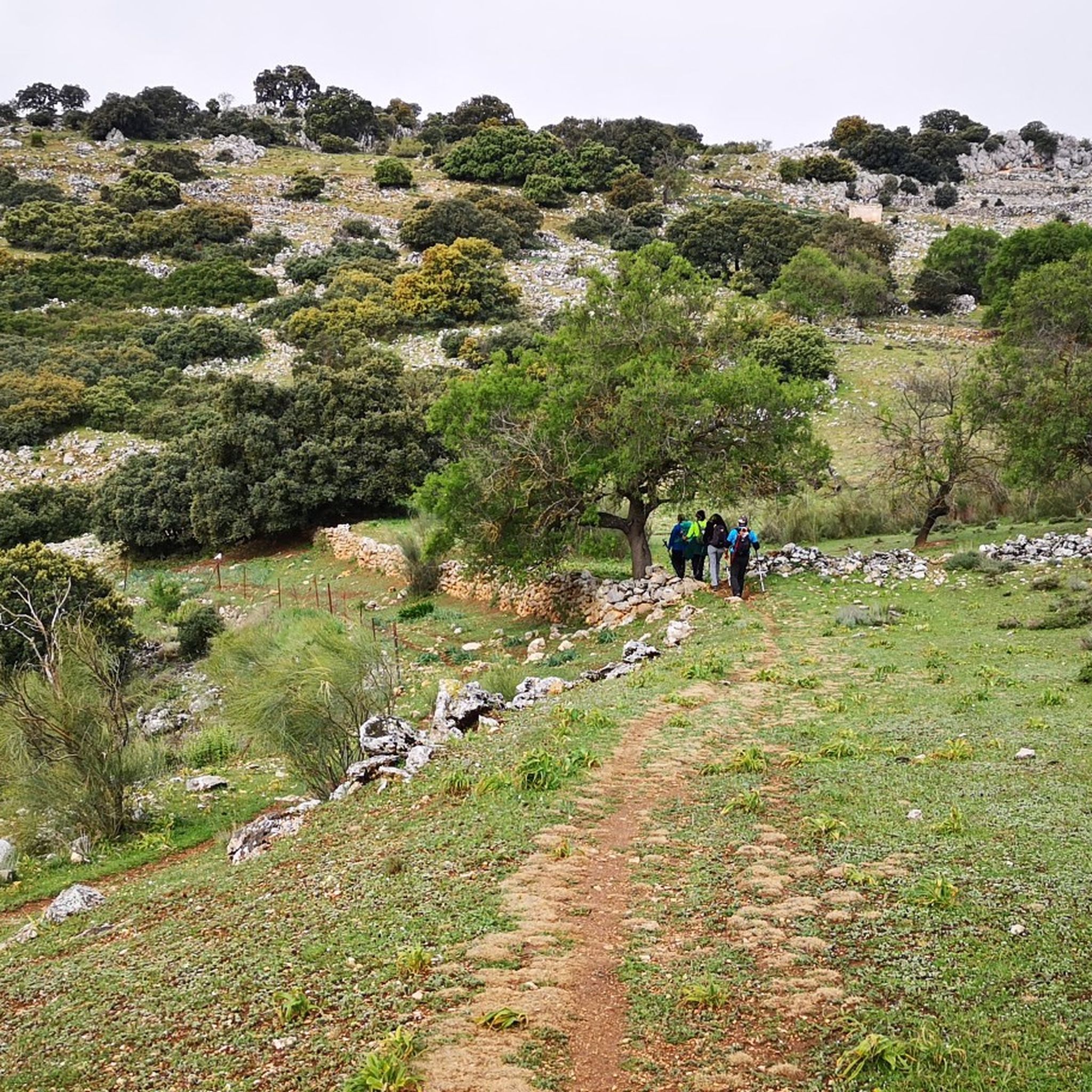
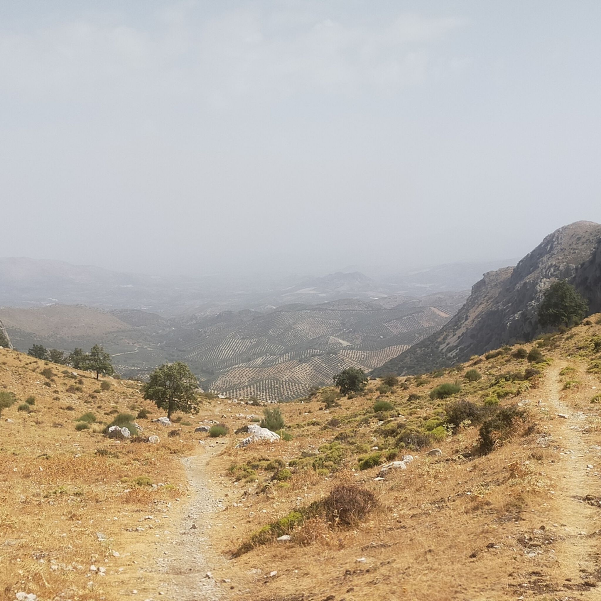
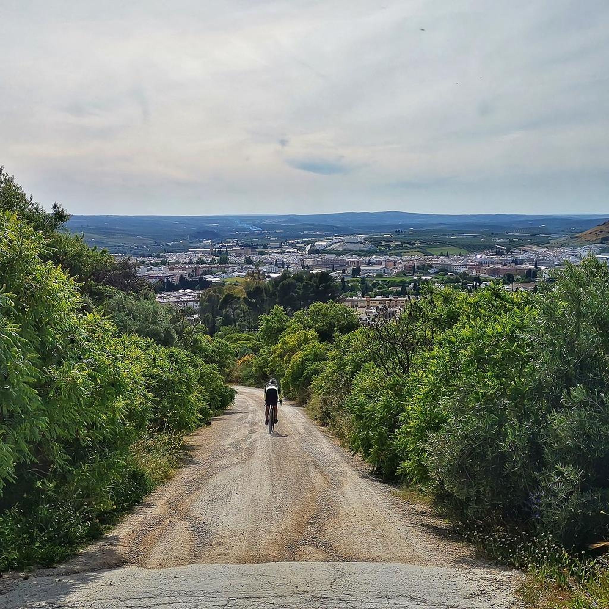
Jogging around National Park Sierras Subbéticas offers diverse terrain within a UNESCO Global Geopark. The region is characterized by dramatic karst topography, featuring limestone formations, sinkholes, and deep canyons. Running routes traverse varied landscapes, from relatively flat paths across poljes to more challenging ascents and descents through these geological features. This environment provides a range of options for runners seeking different intensities and scenic experiences.
Best jogging routes around National Park Sierras Subbéticas
- The most popular jogging route is Chorreras…
Last updated: July 8, 2026
5.0
(1)
9
runners
Moderate run. Good fitness required. Mostly paved surfaces. Suitable for all skill levels.
13.2km
01:53
620m
620m
Hard run. Very good fitness required. Mostly accessible paths. Some sure footedness required.

Sign up for free
12
runners
Moderate run. Good fitness required. Mostly paved surfaces. Suitable for all skill levels.
6
runners
Moderate run. Good fitness required. Mostly paved surfaces. Suitable for all skill levels.
8
runners
Hard run. Very good fitness required. Mostly paved surfaces. Suitable for all skill levels.
Get access to more routes and recommendations from other explorers.
Sign up for free
Already have an account?
Our route recommendations are based on thousands of hikes, rides, and runs completed by other people on komoot.
Start today with a free account
Your next adventure awaits.
Login or Signup
Popular around National Park Sierras Subbéticas

Other adventures around National Park Sierras Subbéticas

Tips from the Community


El Castillo de Zuheros is a historic fortress in the small municipality of Zuheros. The castle sits spectacularly on a rock and has become a landmark of the region. The castle's origins date back to the Moors in the 9th century. It was strategically built on a limestone cliff to control and defend the region. Its location made it almost impregnable.
0
0
El Castillo de Zuheros stands spectacularly on a rock and offers impressive views of the Sierra Subbética. The castle is a major landmark in the region. The castle's origins date back to the Moors in the 9th century. It was strategically built on a limestone cliff to control and defend the region. Its location made it almost impregnable. It was part of a network of castles designed to secure Moorish influence in Andalusia. In 1240, Zuheros was conquered by the troops of Ferdinand III of Castile. The castle passed into Christian ownership and was integrated into the kingdom's defensive structure. With the end of its military importance in the region, after the conquest of Granada in 1492, the castle began to decline in importance. Parts of the complex were destroyed by earthquakes and neglect over the centuries. In 1964, the towers were reconstructed as they can be seen in their current form. The ruins of the castle are now one of the main attractions of Zuheros and can be visited.
9
0

The remains date from two different periods. The massive, crenellated square tower is of Moorish origin, while the remains of the Renaissance palace date from the 16th century. At the same time, the Plaza de la Paz offers a natural viewpoint (622m), with shooting views** over the hills with their carpet of olive groves and Baena in the background.
11
0

Construction located in the highest rocky part of the town whose purpose was to protect against any external invasion, whose views are worth enjoying.
10
0

It is a prehistoric cave, the largest in the province of Córdoba, declared a Natural Monument in 2001. Its name comes from the bats, of different species, that inhabit this cave. In his tourist visit, a descent of up to 65 m deep is made.
3
0

Seasonal waterfalls that appear after copious rains. Due to the porosity of the terrain, only when the amount of water is greater than what the terrain is capable of absorbing, do waterfalls form, sometimes even making it difficult to pass and not being able to make the route in a circular way. It is convenient to inquire at the Santa Rita Visitor Center about their status and check if an authorization is required to visit them, which is sometimes established to control the influx of people to this Zone A Reserve of the Protected Natural Area.
0
0
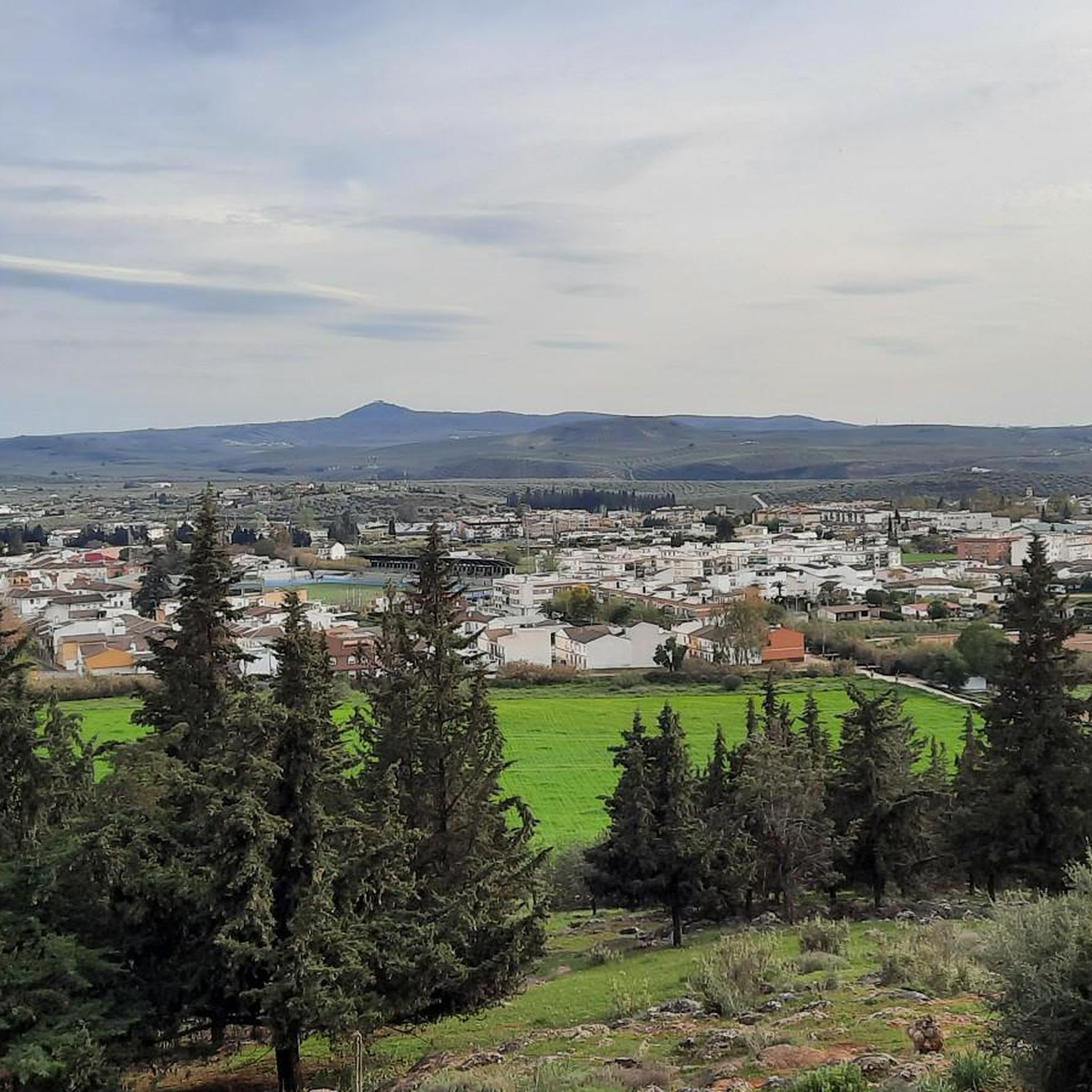
From this point you have a very good perspective of the architectural homogeneity of the town of Zuheros, with its whitewashed houses with clay tile roofs forming narrow and winding streets. Only the castle that stands out in the background breaks the landscape. This is one of the best points from which to observe Zuheros, even when it rains, due to the perspective offered by the hill of the Sierra Subbética towards the incipient Cordoba countryside.
2
0
Frequently Asked Questions
How many running routes are available in National Park Sierras Subbéticas?
There are over 15 dedicated jogging routes in National Park Sierras Subbéticas, offering a variety of experiences for runners. These range from moderate paths to more challenging ascents through the park's unique karst landscapes.
What kind of terrain can I expect on the jogging routes in the Sierras Subbéticas?
The terrain is highly varied, characterized by dramatic karst topography with limestone formations, sinkholes, and deep canyons. You'll find routes traversing relatively flat poljes, such as the Poljé of the Nava de Cabra, as well as more challenging ascents and descents through geological features like the Bailón Canyon. The Chorreras de la Fuenseca y Poljé de la Nava de Cabra circular route is a good example of a moderate trail exploring this varied landscape.
Are there any easy or beginner-friendly running routes in the park?
While many routes feature moderate to difficult sections due to the park's mountainous terrain, the Poljé of the Nava de Cabra – Las Chorreras Signpost loop from Aparcamiento Las Navas is a moderate 6.3-mile (10.1 km) trail that offers a relatively gentle experience through the flat polje landscape. For a truly accessible option, sections of the Vía Verde de la Subbética, a former railway line, provide a gentle gradient suitable for all levels.
What are some challenging running routes for experienced runners?
For those seeking a challenge, the park offers several difficult routes. The Bat Cave and Bailon River Canyon - circular from Zuheros is a difficult 8.2-mile (13.2 km) path with significant elevation changes, offering views of the impressive Río Bailón Canyon. Another demanding option is the Las Chorreras Signpost – Poljé of the Nava de Cabra loop from Aparcamiento Las Navas, a 14-mile (22.6 km) difficult route with over 400 meters of ascent.
What natural features or landmarks can I see along the running trails?
Joggers can discover a wealth of natural beauty and geological formations. Highlights include the Bat Cave near Zuheros, the impressive Chorreras de la Fuenseca waterfall, and the vast Poljé of the Nava de Cabra. The Limestone formations and caves in the Bailón Canyon also offer spectacular scenery.
Are there any circular running routes in the National Park Sierras Subbéticas?
Yes, many of the routes are designed as loops, allowing you to start and finish in the same location. Examples include the Chorreras de la Fuenseca y Poljé de la Nava de Cabra circular route and the Bat Cave and Bailon River Canyon - circular from Zuheros, both offering diverse landscapes on a single loop.
When is the best time of year to go running in the Sierras Subbéticas?
The National Park Sierras Subbéticas is enjoyable for running throughout much of the year. Spring and autumn generally offer the most pleasant temperatures for outdoor activities. Summers can be very hot, so early morning or late evening runs are advisable, or focusing on shaded routes. Winters are mild, but some higher elevation trails might experience cooler conditions.
What do other runners say about the trails in National Park Sierras Subbéticas?
The running routes in National Park Sierras Subbéticas are highly rated by the komoot community, with an average score of 4.5 stars from 6 reviews. Runners often praise the diverse terrain, the stunning karst landscapes, and the opportunity to explore unique geological features like poljes and canyons.
Are there any routes that offer panoramic viewpoints?
Absolutely. The park's dramatic topography means many routes offer incredible vistas. Peaks like La Tiñosa (the highest in Córdoba province) and El Picacho (Sierra de Cabra) provide extensive panoramic views across multiple Andalusian provinces. Even moderate routes, such as the Navazuelo – Las Chorreras Signpost loop, offer scenic outlooks over the unique landscapes.
Is it possible to access running routes using public transport?
While direct public transport to every trailhead might be limited, some villages within or bordering the park, such as Zuheros, Luque, and Cabra, are accessible by bus. The Vía Verde de la Subbética, which passes through these villages, offers a great starting point for runs and is generally well-connected. It's advisable to check local bus schedules for specific access points.
Are there opportunities for wildlife spotting while running?
Yes, the park is rich in biodiversity. As you run through the Mediterranean vegetation, including olive groves and holm oaks, keep an eye out for diverse birdlife. Griffon vultures and various eagles are frequently observed soaring above the canyons and peaks, adding an extra dimension to your outdoor experience.
Most popular routes around National Park Sierras Subbéticas
Most popular attractions around National Park Sierras Subbéticas

Get inspired with the komoot mobile app


Explore more
Browse the best Running Trails & Routes in other regions.
