The best running trails around Paraje Natural Acantilados de Maro-Cerro Gordo
4.2
(197)
7,570
runners
166
runs
Jogging around Paraje Natural Acantilados de Maro-Cerro Gordo offers routes through a protected natural area characterized by dramatic coastal cliffs, secluded coves, and rich Mediterranean scrub. The terrain features abrupt cliffs up to 75 meters high, formed by marine erosion, and is interspersed with small beaches and ravines. Historical 16th-century watchtowers dot the coastline, providing panoramic viewpoints over the Mediterranean Sea. This region provides varied surfaces for runners, combining trails, beaches, and tracks.
Best jogging routes around Paraje Natural Acantilados…
Last updated: August 28, 2026
3.0
(1)
8
runners
Hard run. Very good fitness required. Sure-footedness, sturdy shoes and alpine experience required.
5
runners
6.57km
00:57
270m
270m
Hard run. Good fitness required. Sure-footedness, sturdy shoes and alpine experience required.

Sign up for free
4.4
(9)
150
runners
8.84km
00:58
110m
110m
Moderate run. Good fitness required. Mostly paved surfaces. Suitable for all skill levels.
5.0
(1)
66
runners
11.8km
01:38
490m
490m
Hard run. Very good fitness required. Sure-footedness, sturdy shoes and alpine experience required.
13
runners
23.6km
03:32
1,290m
1,290m
Hard run. Very good fitness required. Sure-footedness, sturdy shoes and alpine experience required.
Get access to more routes and recommendations from other explorers.
Sign up for free
Already have an account?
Our route recommendations are based on thousands of hikes, rides, and runs completed by other people on komoot.
Start today with a free account
Your next adventure awaits.
Login or Signup
Popular around Paraje Natural Acantilados de Maro-Cerro Gordo
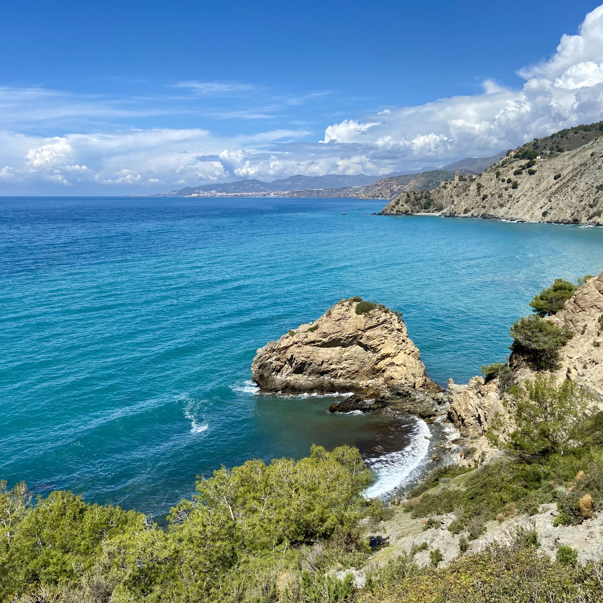
Hiking around Paraje Natural Acantilados de Maro-Cerro Gordo
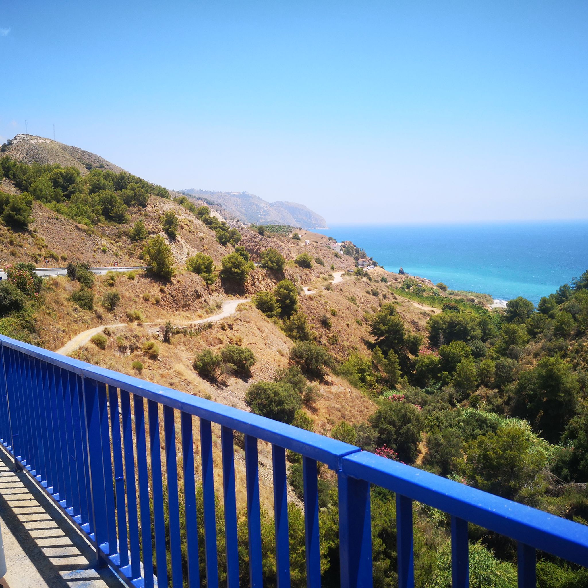
Road Cycling Routes around Paraje Natural Acantilados de Maro-Cerro Gordo
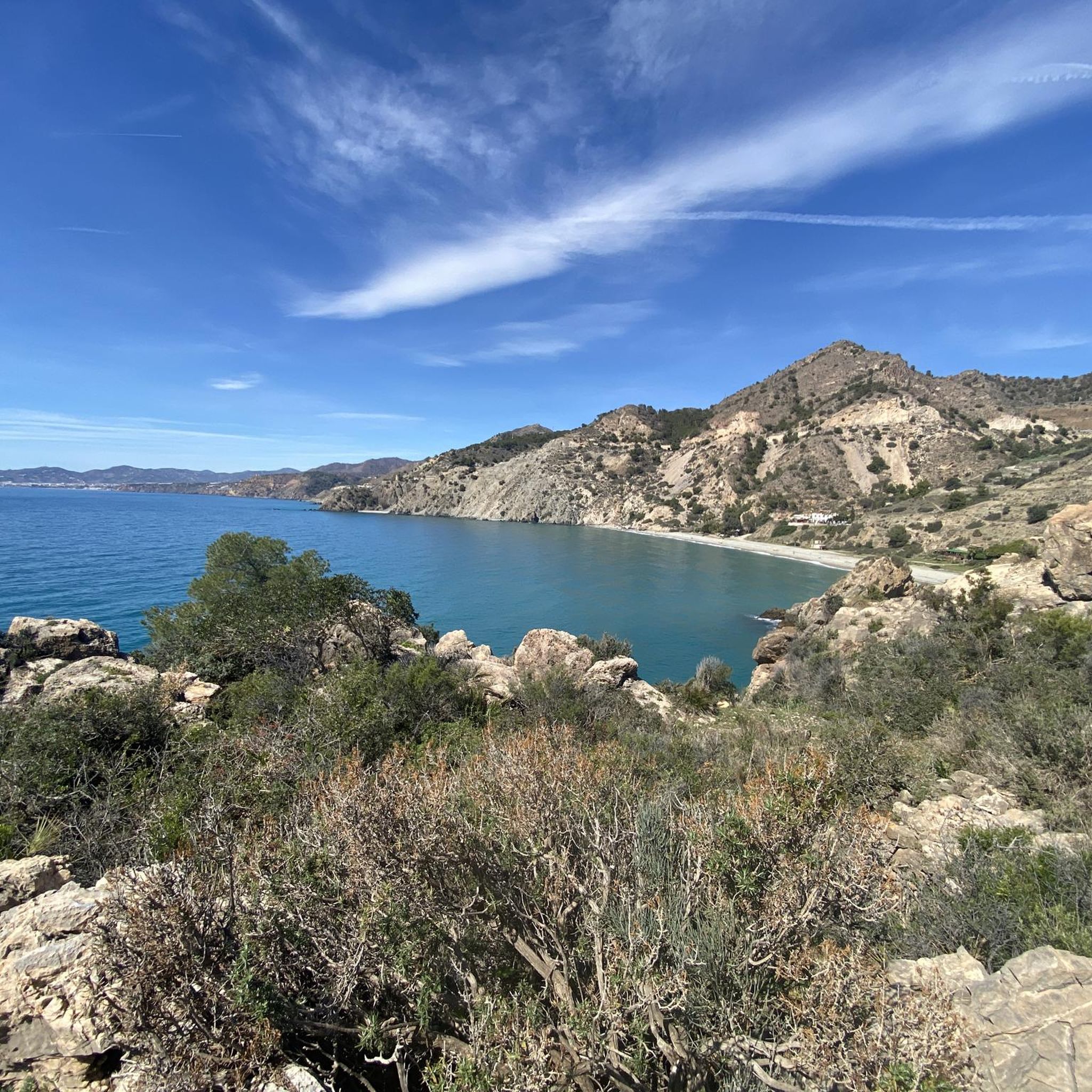
Cycling around Paraje Natural Acantilados de Maro-Cerro Gordo
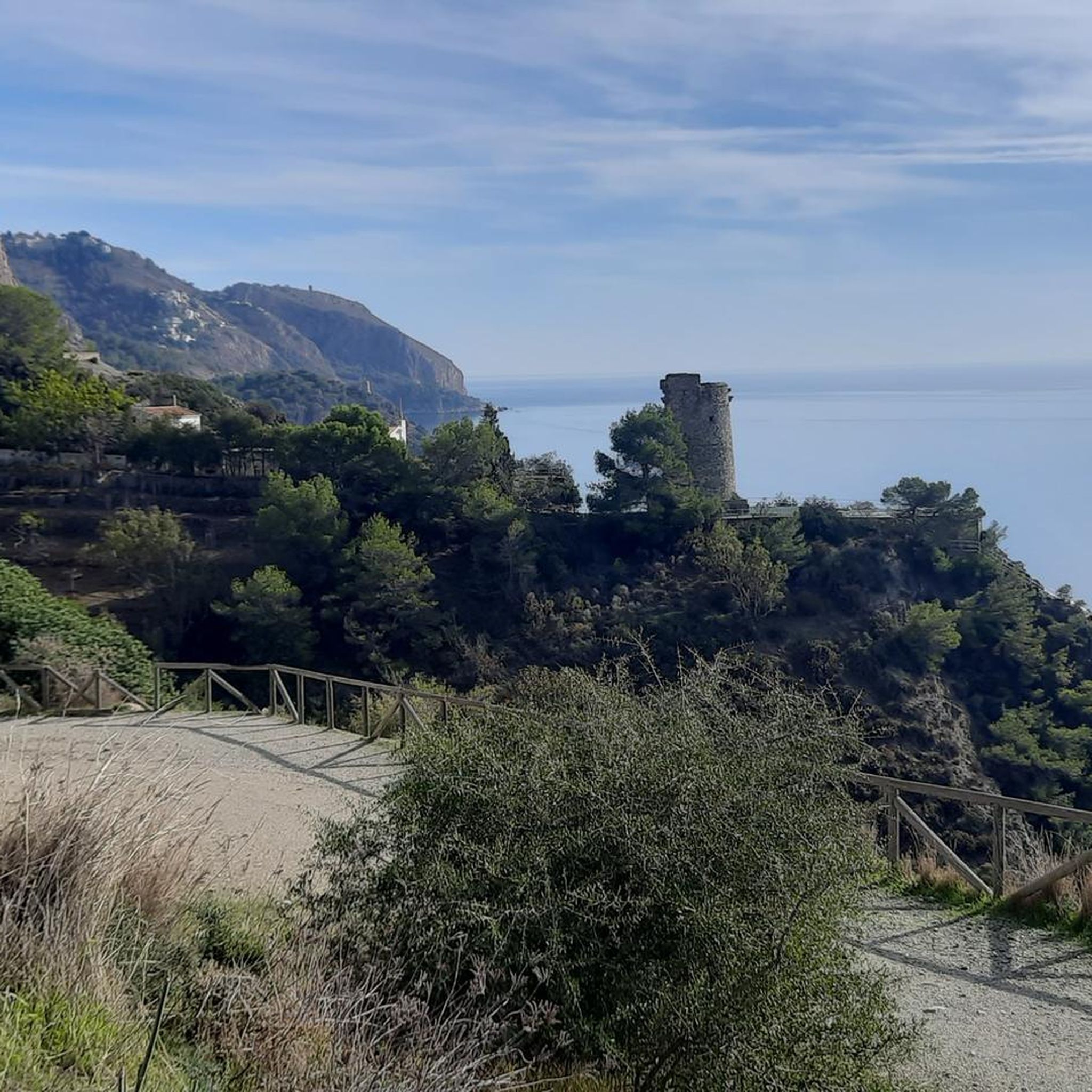
MTB Trails around Paraje Natural Acantilados de Maro-Cerro Gordo

Gravel biking around Paraje Natural Acantilados de Maro-Cerro Gordo
Tips from the Community

I divide the route into descent (direction beach) and ascent (direction starting point). On the descent, you have to open a metal gate that reads "No trespassing, danger of falling rocks". In the cove there is little shade, if you want to take a dip bring 🏖️, crystal clear waters but with a lot of seaweed. On the ascent the path is quite comfortable, but if I suffered from vertigo I wouldn't go. Spectacular views of La Herradura beach 🧲.
0
0

There is also drinking water to replenish your supplies
0
0

Amazing what five boys found in 1959. The Great Hall was found a little later after they dared to venture further inside. For an entrance fee of €18, you get to see a very impressive cave. Additionally, an audio guide, but some don't know how to use it properly - they move around the cave with their phones at full volume.
2
0

El Pinarillo is a beautiful, quiet picnic area. It's usually wonderfully peaceful.
0
0

The Área Recreativa El Pinarillo is a popular recreational area in the heart of the Sierras de Tejeda, Almijara y Alhama Natural Park, about six kilometers from Nerja. Access is via a forest track that starts at the car park of the Caves of Nerja. El Pinarillo also serves as a starting point for various touring destinations, including routes to the Fuente del Esparto, Pico Navachica and Río Chíllar. The surrounding area is characterized by impressive landscapes with gorges, rock formations and a diverse flora and fauna. During the summer months, special regulations restricting access and use may apply due to increased fire risk.
1
0
The Barranco de la Coladilla route leads through a spectacular landscape in the Sierras de Tejeda, Almijara y Alhama Nature Park. It runs on varied gravel paths through the impressive Barranco de la Coladilla, a wild and romantic gorge with impressive rock formations. You pass the El Pinarillo recreation area, with shady picnic areas and rest areas. A detour to the Fuente del Esparto is recommended, a natural water source where you can refill your water bottles.
4
0
The garden is divided into four major thematic areas, traditional crops, vegetation related to the climate, vegetation related to special soils and collections. One of the most beautiful areas of the garden is the lagoon and beach area. The botanical garden in Nerja is located near the caves.
1
0
Frequently Asked Questions
How many running routes are available in Paraje Natural Acantilados de Maro-Cerro Gordo?
There are over 130 jogging routes in Paraje Natural Acantilados de Maro-Cerro Gordo, offering a wide variety of options for runners. These routes are highly rated by the komoot community, with an average score of 4.4 stars.
Are there any easy jogging routes suitable for beginners or a relaxed run?
Yes, while many routes feature challenging coastal terrain, there are 18 easy jogging routes available. These paths are perfect for a more relaxed pace or for those new to trail running in the area. One moderate option is the Playa de la Herradura loop from La Herradura, which covers 8.2 km.
What kind of scenery can I expect while jogging in this natural park?
Jogging here offers continuous panoramic views of the Mediterranean Sea, dramatic cliffs that plunge into the water, and secluded coves. You'll pass through rich Mediterranean scrub, with juniper, holm oak, and carob trees. The rugged relief with small coves separated by ravines creates a dynamic and engaging terrain, making for a visually rewarding run.
Are there any circular running routes in Paraje Natural Acantilados de Maro-Cerro Gordo?
Yes, many of the routes are circular, allowing you to start and end at the same point. Popular circular options include the challenging Cantarriján Beach – View from Cerro Gordo loop from Cerro Caleta (10.0 km) and the View from Cerro Gordo – Cerro Gordo Tower loop from Paraje Natural Acantilados de Maro-Cerro Gordo (11.0 km).
What are some notable landmarks or viewpoints along the running trails?
The area is dotted with historical 16th-century watchtowers, such as the Cerro Gordo Tower, which offer excellent vantage points. The paths leading to Torre de Maro and Cerro Gordo point provide some of the best panoramic views of the impressive cliffs and the Málaga coastline. On clear days, you might even spot the African coast.
What do other runners say about the jogging experience in Paraje Natural Acantilados de Maro-Cerro Gordo?
The routes in Paraje Natural Acantilados de Maro-Cerro Gordo are highly rated by the komoot community, with an average score of 4.4 stars from over 130 reviews. More than 5,600 runners have used komoot to explore the varied terrain, often praising the stunning coastal views, the challenging yet rewarding paths, and the unique natural beauty of the protected area.
Are there any family-friendly running paths in the area?
For families looking for a less strenuous run or walk, the 18 easy routes are a great starting point. These paths generally have gentler inclines and more stable surfaces, making them suitable for a leisurely jog with children. Always check the route details for specific difficulty and terrain information.
What are the best times of year to go jogging in Paraje Natural Acantilados de Maro-Cerro Gordo?
The Mediterranean climate makes this region suitable for jogging for much of the year. Spring and autumn offer pleasant temperatures, ideal for longer runs. Even in winter, the weather is often mild, allowing for enjoyable outdoor activity. Summers can be hot, so early morning or late afternoon runs are recommended during this season.
Can I find routes that lead to secluded beaches or coves?
Absolutely. The natural park is famous for its small, secluded coves and beaches nestled between the cliffs. Routes like the Cotobro Beach – Pathway to Playa el Muerto loop from Cerro Caleta will take you through coastal paths that often lead to these tranquil spots, such as Cantarriján Beach or Alberquillas Beach, perfect for a post-run dip.
Are there any routes that offer a mix of coastal views and inland exploration?
While the primary focus is the stunning coastline, some routes venture slightly inland, allowing you to experience the rich Mediterranean flora. For example, the Nerja Cave – Tajo de los Bueyes Viewpoint loop from Cueva de Nerja offers a blend of coastal proximity and views towards inland features, providing a diverse running experience.
What is the typical terrain like on the jogging routes?
The terrain is varied, combining trails, tracks, and sometimes sections along beaches. You can expect rugged relief with some challenging ascents and descents due to the dramatic cliffs and ravines. Surfaces can range from compacted earth to rocky paths, so appropriate trail running footwear is recommended.
Most popular routes around Paraje Natural Acantilados de Maro-Cerro Gordo
Most popular attractions around Paraje Natural Acantilados de Maro-Cerro Gordo

Get inspired with the komoot mobile app


Explore more
Browse the best Running Trails & Routes in other regions.
