The best mountain hikes around Parc natural de Sa Dragonera
4.4
(10)
59
hikers
3
hikes
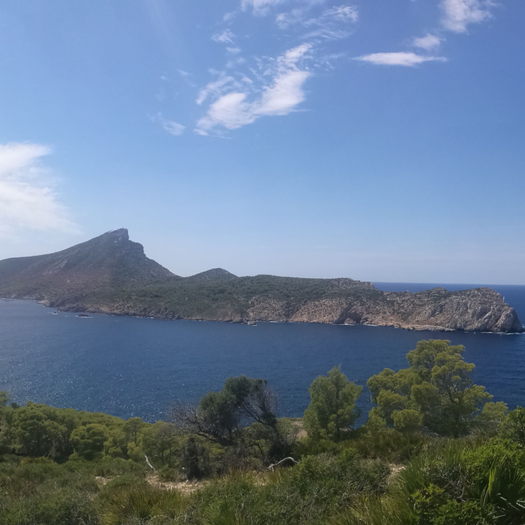
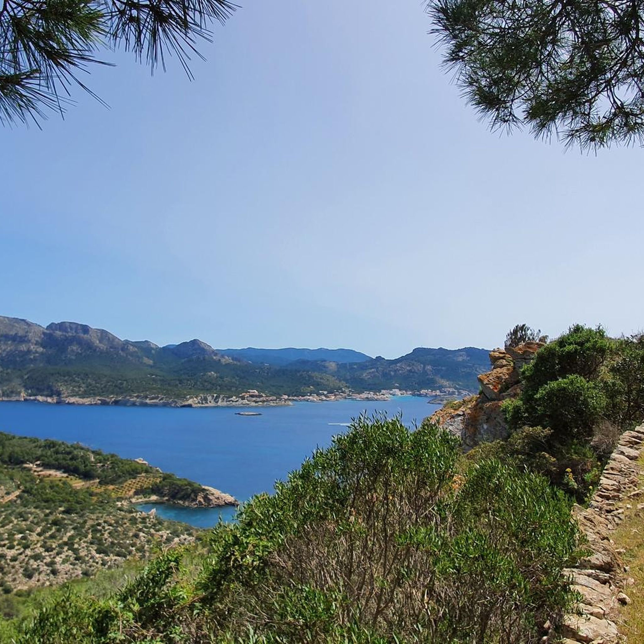
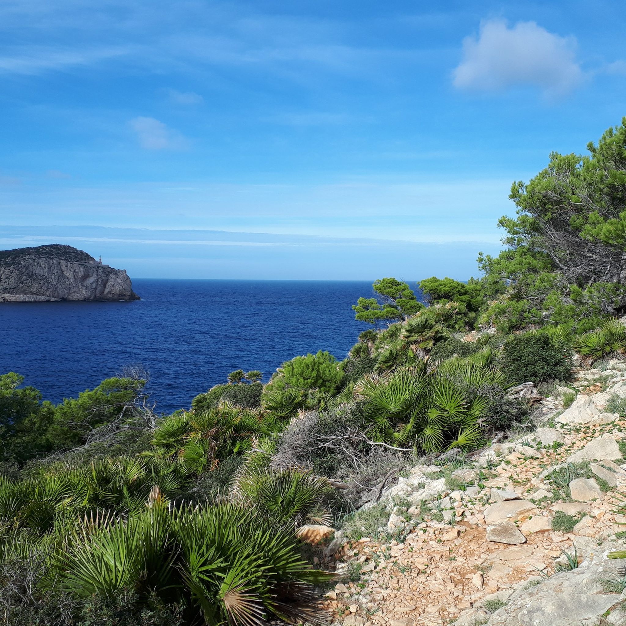
Mountaineering around Parc natural de Sa Dragonera is characterized by rugged terrain and dramatic coastal landscapes. This uninhabited islet, a continuation of the Serra de Tramuntana mountain range, features steep cliffs, particularly on its northwestern side. The highest point, Pico Popi (Na Pòpia), reaches approximately 1,180 feet (360 meters), offering panoramic views. The region's geology provides a challenging environment for outdoor activities.
Best mountaineering routes around Parc natural de Sa Dragonera
- The most popular mountaineering route is Es Geperut Beach…
Last updated: June 26, 2026
5.0
(4)
39
hikers
9.07km
03:06
350m
350m
Hard mountaineering route. Good fitness required. Sure-footedness, sturdy shoes and alpine experience required.
3.0
(1)
3
hikers
15.5km
05:03
540m
540m
Hard mountaineering route. Very good fitness required. Sure-footedness, sturdy shoes and alpine experience required.

Sign up for free
4.7
(3)
13
hikers
16.3km
05:08
600m
600m
Hard mountaineering route. Very good fitness required. Sure-footedness, sturdy shoes and alpine experience required.
5.0
(2)
3
hikers
12.5km
03:43
360m
360m
Moderate mountaineering route. Good fitness required. Mostly accessible paths. Sure-footedness required.
1
hikers
Easy mountaineering route. Great for any fitness level. Easily-accessible paths. Suitable for all skill levels.
Our route recommendations are based on thousands of hikes, rides, and runs completed by other people on komoot.
Start today with a free account
Your next adventure awaits.
Login or Signup
Tips from the Community

There are already very beautiful views here in the mountains.
4
0
Restoration work has begun here, it currently looks very quiet.
2
0

To walk without any problems
0
0

.. Hiking trails are totally washed out by storms and difficult to walk on
0
0

The section equipped with chains is very slippery. The stone has become smooth.
0
0


Sant Elm is a small town with a 180-meter-long sandy beach on the Balearic island of Mallorca. The town consists mainly of small hotels and summer residences, and during the summer months it is a popular tourist destination.
1
0

Great area… Highly recommended… We will be back, that’s for sure 😉
0
0
Frequently Asked Questions
What kind of terrain can I expect on mountaineering routes around Parc natural de Sa Dragonera?
Mountaineering around Parc natural de Sa Dragonera is characterized by rugged terrain and dramatic coastal landscapes. The island, a continuation of the Serra de Tramuntana mountain range, features steep cliffs, particularly on its northwestern side. Paths often involve rocky ground and Mediterranean vegetation, leading to panoramic views, especially from higher points like Pico Popi (Na Pòpia).
How many mountaineering routes are available in Parc natural de Sa Dragonera?
There are 4 mountaineering routes documented around Parc natural de Sa Dragonera, offering a range of difficulties from easy to difficult. These routes provide diverse experiences across the island's unique landscape.
Are there easy mountaineering routes suitable for beginners in Parc natural de Sa Dragonera?
Yes, there are easy mountaineering routes available. For instance, the View of the Bay of Palma loop from Cala Fornells is an easy 6.2 km trail, and the Caló d'en Monjo – View of Camp de Mar Bay loop from Talaia del Cap Andritxol is another easy option at 3.8 km, both offering accessible experiences.
What are some challenging mountaineering trails in Parc natural de Sa Dragonera?
For those seeking a challenge, the Es Geperut Beach – Sant Elm Beach loop from Es Pantaleu is a difficult 15.6 km route with significant elevation gain, taking over 5 hours to complete. This trail offers varied coastal views and a strenuous workout.
What can I see along the mountaineering routes in Parc natural de Sa Dragonera?
Along the routes, you can discover several points of interest. Highlights include the Ruins of the Old Lighthouse of Na Popia at the island's highest point, the Far de Tramuntana Lighthouse, and the Llebeig Lighthouse. You'll also find stunning viewpoints like the View of Sa Dragonera and the View of the Sa Dragonera Lighthouse and the Torre de Cala en Basset, offering expansive vistas of the Mediterranean and the Mallorcan coastline.
What is the best time of year for mountaineering in Parc natural de Sa Dragonera?
The Mediterranean climate means spring and autumn are generally ideal for mountaineering in Sa Dragonera, offering milder temperatures and pleasant conditions. Summers can be very hot, while winters are generally mild but can bring occasional rain.
Are there any circular mountaineering routes around Parc natural de Sa Dragonera?
Yes, many of the mountaineering routes in the area are circular. For example, the Sant Elm Beach – View of Sant Elm loop from Port d'Andratx is a moderate 15.7 km circular path, and the View of Platja de Camp de Mar – Camp de Mar Beach loop from Cala Fornells is a 13.0 km loop, both offering varied scenery.
What wildlife and flora can I expect to see on the mountaineering routes?
Parc natural de Sa Dragonera is a sanctuary for diverse fauna and flora. You're likely to encounter the abundant endemic Balearic lizards (Podarcis lilfordi), which are quite trusting. The island also hosts significant bird colonies, including the endangered Audouin's gull and Eleonora's falcons. The vegetation includes nearly 400 plant species, with rosemary, heather, wild olive, and fan palm being common.
How do I access Parc natural de Sa Dragonera for mountaineering?
Access to Sa Dragonera is typically by ferry from Sant Elm or Port d'Andratx. All four main marked hiking trails on the island start from Cala Lladó, the main landing point. It's advisable to check ferry schedules and book in advance, especially during peak season. For more information on visiting, you can check visitingmallorca.com.
Is parking available near the access points for Parc natural de Sa Dragonera?
Yes, parking is generally available in the towns of Sant Elm and Port d'Andratx, which are the main departure points for ferries to Sa Dragonera. From these towns, you can take the ferry to the island to begin your mountaineering adventure.
What do other mountaineers enjoy most about the routes in Parc natural de Sa Dragonera?
The mountaineering routes around Parc natural de Sa Dragonera are highly rated by the komoot community, with an average score of 4.4 stars from over 12 reviews. Mountaineers often praise the rugged coastal paths, the stunning panoramic views, and the unique natural environment of the island.
Are there any specific rules or permits required for mountaineering in Parc natural de Sa Dragonera?
As a Natural Park, Sa Dragonera has specific rules to protect its delicate ecosystem. While general hiking on marked trails doesn't typically require individual permits, visitors must adhere to park regulations, such as staying on marked paths, not disturbing wildlife, and taking all rubbish with them. Access to the island itself is regulated by the ferry service. It's always a good idea to check the latest park regulations before your visit.
Most popular routes around Parc natural de Sa Dragonera
Most popular attractions around Parc natural de Sa Dragonera

Get inspired with the komoot mobile app


Explore more
Browse the best Mountain Hikes & Routes in other regions.
