The 12 Most Amazing Peaks around Loriguilla
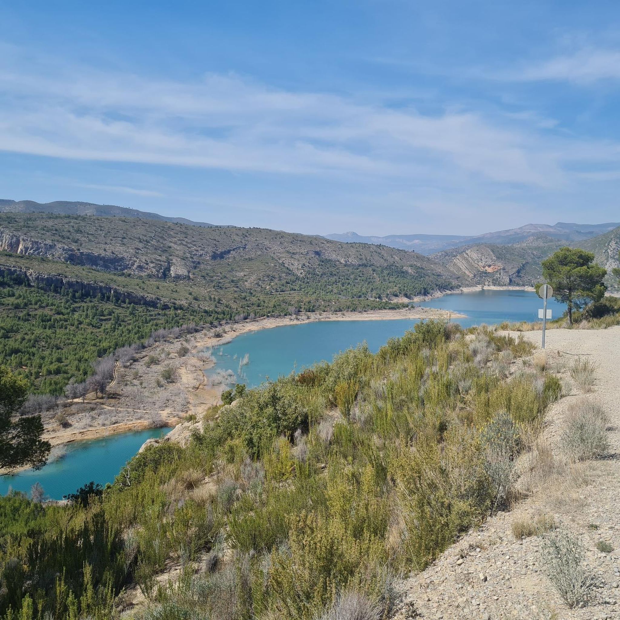
Best mountain peaks around Loriguilla are situated in a region characterized by very mountainous terrain, dominated by Jurassic and Cretaceous limestone. The area features a deep valley carved by the Turia River, offering diverse landscapes for exploration. Elevated points and mountainous landscapes provide natural beauty and hiking opportunities within the municipality and the nearby Serranía region.
Best mountain peaks around Loriguilla
- The most popular mountain peak is La Rodana Gran, a summit that offers very nice views and is…
Last updated: May 17, 2026
Pico Ropé
Highlight • Summit
Translated by Google •
Tip by

La Rodana Gran
Highlight • Summit
Translated by Google •
Tip by

Sign up now to discover places like this
Get recommendations on the best single tracks, peaks, & plenty of other exciting outdoor places.
Sign up for free
El Frailecico Viewpoint
Highlight • Viewpoint
Translated by Google •
Tip by
Carasoles Geodetic Point
Highlight • Viewpoint
Translated by Google •
Tip by

Serra Perenxisa Summit
Highlight • Summit
Translated by Google •
Tip by

Sign up for free to discover even more peaks around Loriguilla.
Sign up for free
Already have an account?
Start today with a free account
Your next adventure awaits.
Login or Signup

Tips from the Community

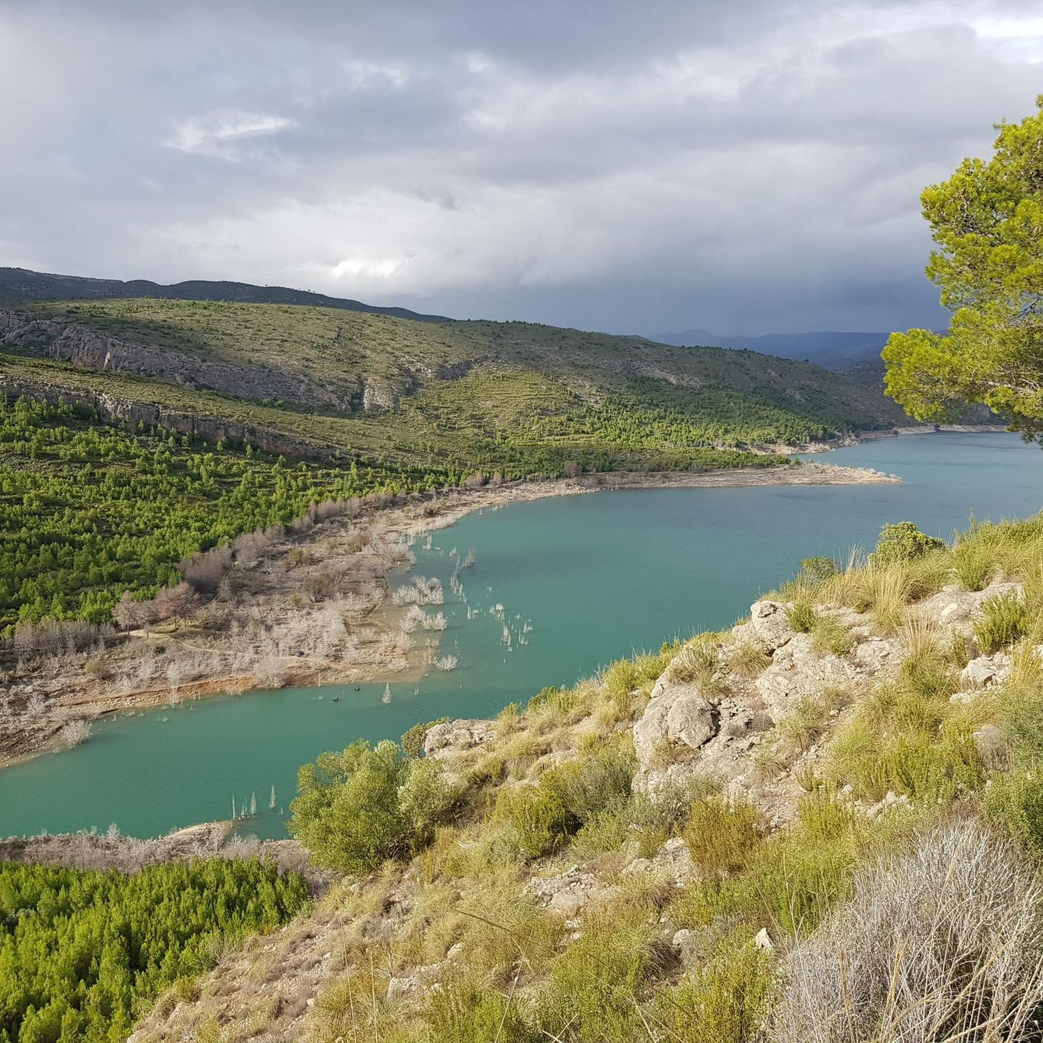
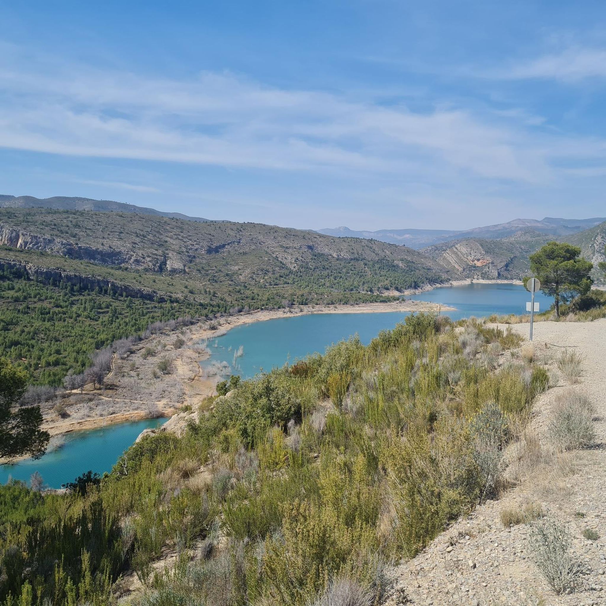
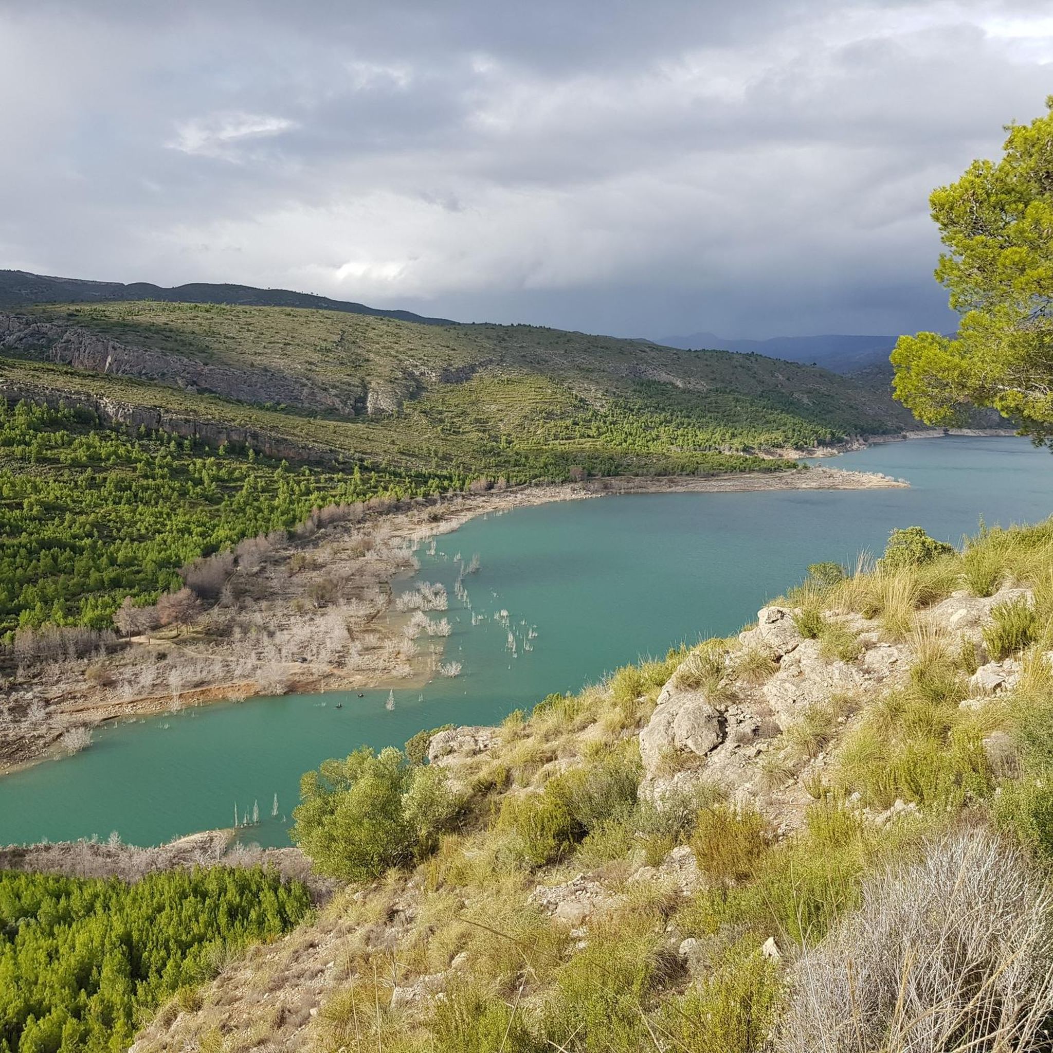
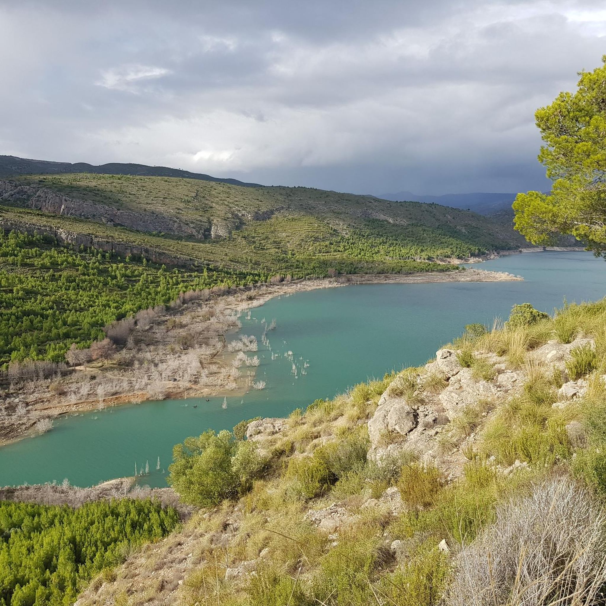
The El Frailecico Viewpoint in Chulilla is a panoramic viewpoint located on one of the most picturesque hiking trails in the area, in the province of Valencia. It's part of a circular route that also includes the Gollizno Cave and the Treasure Cave.
4
0

Great views of the Bay of Valencia
1
0


Don't hesitate to climb it from Chullila; the view of the village and the cirque is magnificent. It's worth the detour. If you want to see footage, go to 6:40 in this video: https://youtu.be/6C-ttg8DGEc
1
0

The ascent to Pico Ropé is one of the most classic routes in Chera along the Arcolla path to the top of Ropé, located at an altitude of 1,140 metres. Beautiful views.
19
0
Impressive views from the top of Pico Ropé.
19
0
pico Ropé is one of the best spot in the area to enjoy a panoramic view. It is accessible from a dirt road and as well a steep narrow trail CV PR102 from Chera) which is amazing and I recommend it. Count 2h -2h1/2 from Chera and back.
7
0
Frequently Asked Questions
What are some notable mountain peaks directly within or very close to Loriguilla?
While Loriguilla itself is not home to towering peaks, its surrounding area offers several elevated points. Within the municipality, you can find Cerro de Loriguilla (658 m), Pico del Cerro (542 m), Cerro Matraquera (578 m), Peñalta (649 m), and El Alto (758 m). For a more significant ascent, Cinco Pinos (1171 m) is located at the southern extreme of the municipality.
What are the most popular mountain peaks and viewpoints around Loriguilla according to komoot users?
Komoot users highly appreciate several spots for their views and hiking experiences. La Rodana Gran is a popular summit offering beautiful views within the Natural Park of Les Rodanes. Another favorite is El Frailecico Viewpoint, known for its magnificent panoramic views of the village and cirque. Additionally, Pico Ropé, at 1,140 meters, is celebrated for its impressive vistas and is part of a classic route in Chera.
Where can I find the best panoramic views of the area?
For breathtaking panoramic views, consider visiting El Frailecico Viewpoint in Chulilla, which offers stunning perspectives of the village and the surrounding cirque. Pico Ropé also provides impressive views from its 1,140-meter summit. Another great option is La Rodana Gran, which offers very nice views within a pleasant, tree-filled environment.
Are there any challenging mountain ascents for experienced hikers near Loriguilla?
Yes, for experienced hikers seeking a challenge, Cinco Pinos (1171 m) offers a considerably higher peak with more demanding ascents and expansive views. Pico Ropé is also part of a classic route with a respectable slope. The ascent to El Frailecico Viewpoint can be steep and may require the use of hands near the top, making it a rewarding challenge for some.
What unique natural attractions can I explore in the mountainous areas near Loriguilla?
The most highly recommended mountainous attraction is the Chulilla Hanging Bridges Route (Ruta de los Puentes Colgantes). This trail takes you through the impressive Turia River Canyon, featuring deep gorges, spectacular wooden hanging bridges suspended up to 15 meters above the riverbed, and views of the Loriguilla Reservoir. Along the route, you can discover natural beauty spots like "Charco Azul," an idyllic natural pool, and "La Peña de la Judía."
Are there specific hiking trails recommended for exploring the peaks around Loriguilla?
Yes, the region offers a variety of hiking trails. The Chulilla Hanging Bridges Route is a popular choice, offering an immersive mountain experience through the Turia River Canyon. For more hiking options, you can explore routes like the "Ruta de los Pantaneros and Hanging Bridges Trail" or the "Charco Azul Viewpoint – Los Calderones Gorge loop from Chulilla." Find more details and routes in the Hiking around Loriguilla guide.
What other outdoor activities are available in the mountainous region near Loriguilla?
Beyond hiking, the mountainous region around Loriguilla is excellent for other outdoor activities. You can find numerous routes for running, such as the "Charco Azul Viewpoint – Turia Gorge loop from Chulilla," detailed in the Running Trails around Loriguilla guide. Road cycling is also popular, with routes like the "Riba-roja de Túria Castle loop from Loriguilla - Reva," which you can explore in the Road Cycling Routes around Loriguilla guide.
Are there family-friendly options for enjoying the mountain scenery?
The Chulilla Hanging Bridges Route can be a fantastic family-friendly option, offering a mix of nature, adventure, and history. While some sections might be moderate, the overall experience of crossing the bridges and exploring the canyon is highly engaging for various ages. Always check the specific route difficulty and prepare accordingly for younger family members.
What kind of geological features characterize the mountains around Loriguilla?
The region is characterized by its very mountainous terrain, dominated by Jurassic and Cretaceous limestone. This geological composition has led to the formation of impressive features like the deep valley carved by the Turia River, with gorges over 80 meters high, as seen in the Chulilla area. The dramatic cliffs and unique rock formations are a direct result of this ancient geology.
What do visitors enjoy most about the mountain peaks and trails near Loriguilla?
Visitors consistently praise the impressive views and the natural beauty of the area. For instance, the top of Pico Ropé offers magnificent panoramas, and the environment around La Rodana Gran is described as very pleasant with many trees. The thrill of crossing the spectacular wooden hanging bridges on the Chulilla route and discovering idyllic spots like Charco Azul are also frequently highlighted as memorable experiences.
Is there a good time of year to visit the mountain peaks around Loriguilla?
While specific seasonal recommendations for each peak vary, the region generally offers good hiking conditions for much of the year. Spring and autumn often provide milder temperatures, which are ideal for longer hikes. During warmer months, routes that include natural pools like Charco Azul along the Chulilla Hanging Bridges Route can be particularly refreshing. Always check local weather forecasts before heading out.
Are there any historical or cultural points of interest near the mountain trails?
Yes, the Chulilla Hanging Bridges Route itself has a historical context, as the original path was constructed in the 1950s by dam workers for the Loriguilla Reservoir. Along this route, visitors can also find remnants of ancient cave paintings in Barranco de Falfiguera, offering a glimpse into the region's past.
Most popular routes around Loriguilla
Most popular attractions around Loriguilla

Get inspired with the komoot mobile app


Explore more
See even more amazing summits around Loriguilla with these guides:
