The best MTB trails around Loriguilla
4.6
(350)
2,985
riders
17
rides
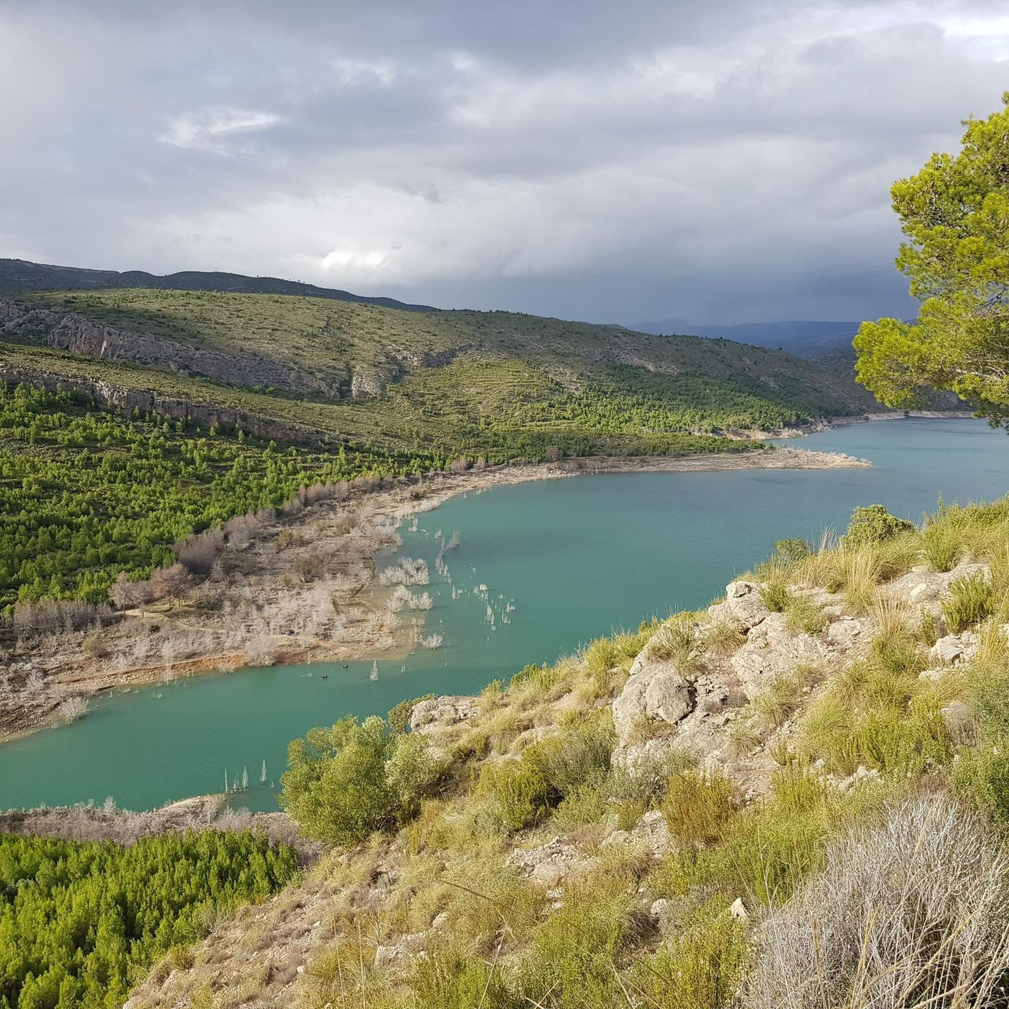
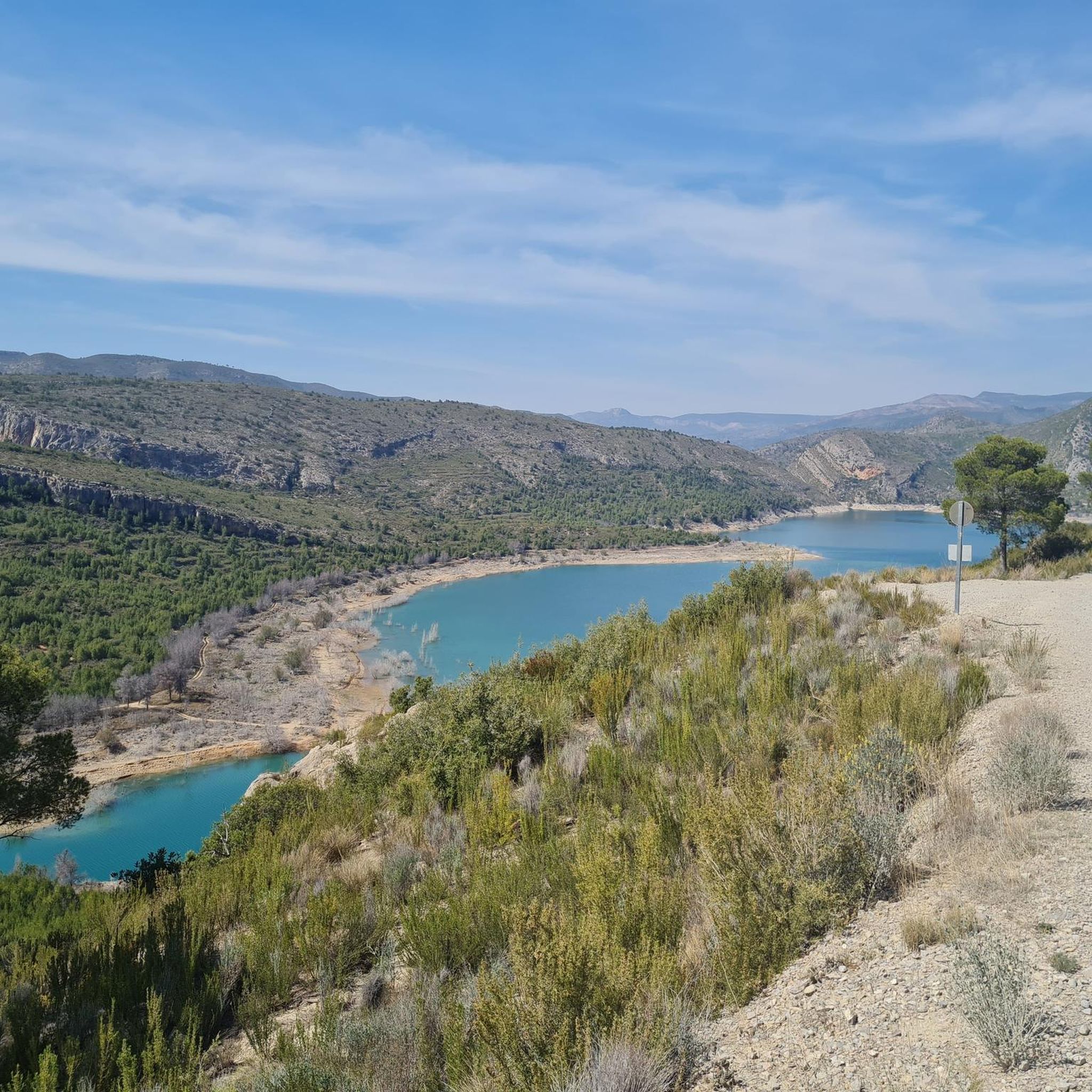
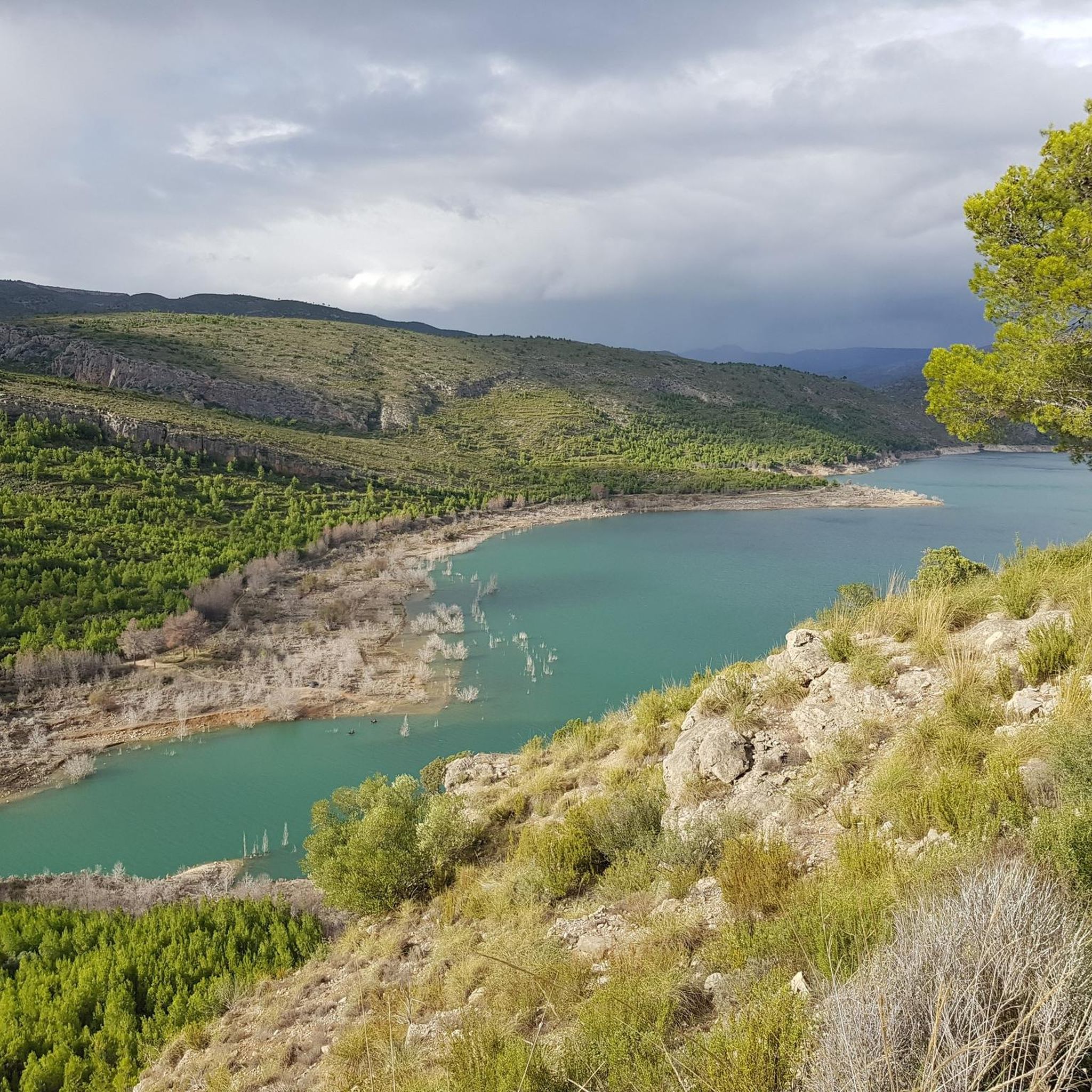
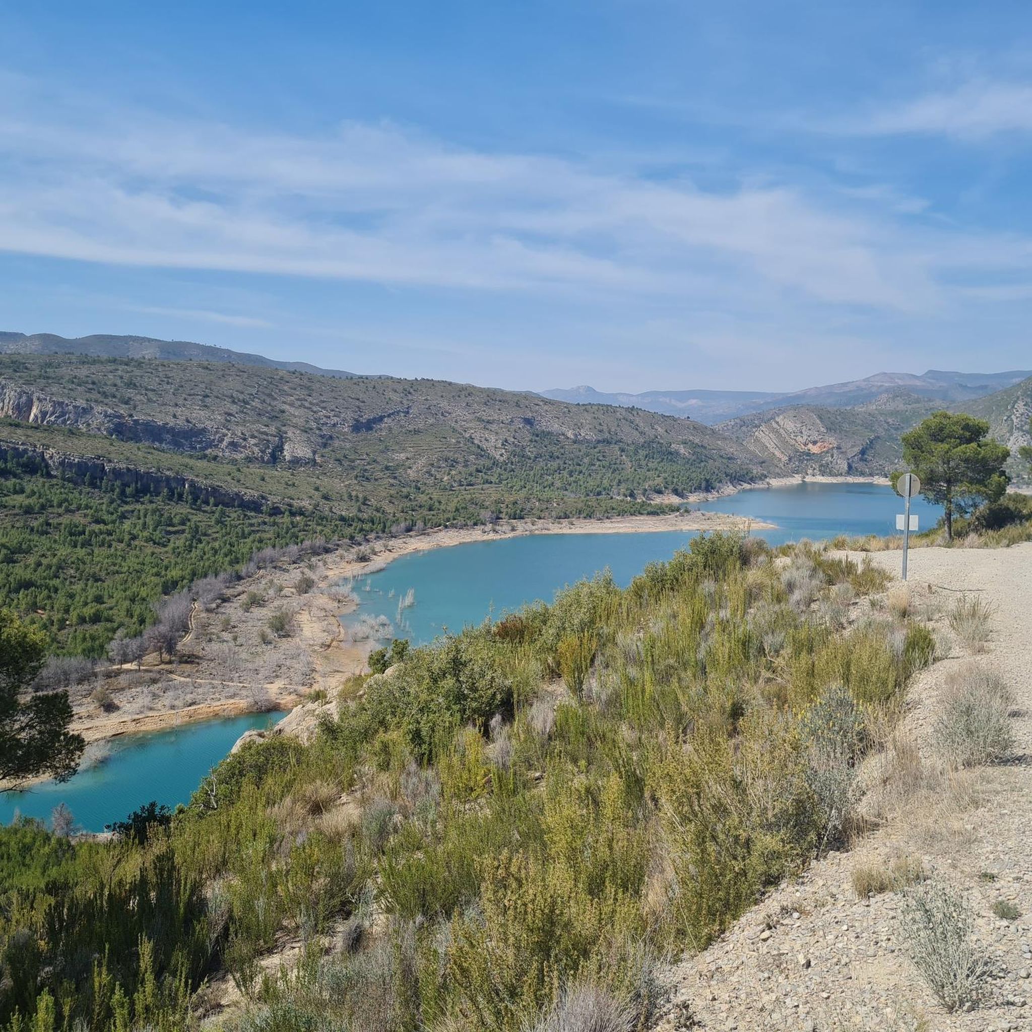
Mountain biking around Loriguilla offers a diverse landscape characterized by rocky terrain, imposing cliffs, and deep canyons. The region, situated in Valencia, Spain, provides a challenging environment for mountain biking with its varied natural features. Riders can explore routes near the Turia River gorge, the scenic Loriguilla reservoir, and within natural parks like Chera-Sot de Chera. This area features a network of trails suitable for different riding styles and skill levels.
Best mountain bike trails around Loriguilla
- The most popular…
Last updated: August 15, 2026
4.0
(1)
7
riders
23.5km
01:39
280m
280m
Easy mountain bike ride. Great for any fitness level. Suitable for all skill levels.
5
riders
48.2km
03:03
300m
300m
Moderate mountain bike ride. Good fitness required. Suitable for all skill levels.

Sign up for free
5.0
(3)
5
riders
Moderate mountain bike ride. Good fitness required. Suitable for all skill levels.
5.0
(1)
4
riders
14.4km
00:55
120m
120m
Easy mountain bike ride. Great for any fitness level. Suitable for all skill levels.
5.0
(1)
5
riders
20.1km
01:22
120m
120m
Easy mountain bike ride. Great for any fitness level. Suitable for all skill levels.
Get access to more routes and recommendations from other explorers.
Sign up for free
Already have an account?
Our route recommendations are based on thousands of hikes, rides, and runs completed by other people on komoot.
Start today with a free account
Your next adventure awaits.
Login or Signup

Tips from the Community

The rambla is born in the interior of the province and flows into the Albufera de Valencia, crossing municipalities such as Torrent, Picanya, Paiporta, Massanassa and Catarroja.
19
0

Best place for lunch in Villamarchante. Terrace and space to leave bikes.
0
0

Rambla bed, with its quantities of boulders... in areas, quite a few of them, you have to be careful to cross them... where there are paths it is easier, but they are not always visible. PS: Gual floodable
5
0

Easy crossing of the motorway along the Rambla del Poio
4
0


A fountain in the middle of the mountain, just to the right of the hostel gate
0
0

It is the best-preserved plant mass in the metropolitan area of Valencia and a green lung for the city, which has motivated its inclusion in the Turia Natural Park.
0
0
Frequently Asked Questions
How many mountain bike trails are there around Loriguilla?
There are over 280 mountain bike trails available around Loriguilla, offering a wide range of options for different skill levels and preferences. The komoot community has explored these routes over 3,900 times.
What kind of terrain can I expect on mountain bike trails around Loriguilla?
The terrain around Loriguilla is characterized by its diverse and challenging nature, featuring rocky landscapes, imposing cliffs, and deep canyons. You'll encounter a mix of single-track routes, epic climbs into natural parks, and technical sections with features like berms, drops, and rock faces, particularly in areas like the Turia River gorge.
Are there mountain bike trails suitable for beginners in Loriguilla?
Yes, Loriguilla offers a selection of easier mountain bike trails. There are 43 routes classified as easy, providing a good starting point for beginners or those looking for a more relaxed ride. These routes allow you to enjoy the scenic environment without overly technical challenges.
Are there challenging mountain bike trails for experienced riders?
Absolutely. For experienced mountain bikers seeking a challenge, Loriguilla has 79 difficult routes. These trails often feature significant elevation changes and technical demands, requiring good fitness and advanced riding skills. Examples include the Sot de Chera – Sot de Chera Anticline loop from Chulilla, which covers over 41 km with more than 1,000 meters of elevation gain.
What natural features or landmarks can I see along the mountain bike trails?
Many trails in the Loriguilla area pass by impressive natural features and historical landmarks. You might encounter the dramatic Turia River gorge, the scenic Loriguilla reservoir, and the unique rock formations near Chulilla. Notable attractions include the Turia River Suspension Bridge and the historic Peña Cortada Aqueduct. The region also features gorges like Los Calderones and the Chera-Sot de Chera Natural Park.
Are there any circular mountain bike routes in Loriguilla?
Yes, many of the mountain bike routes around Loriguilla are designed as loops, allowing you to start and finish in the same location. A popular example is the Pico Ropé – Garita Cave loop from Chera, which offers a challenging 38.4 km ride with stunning views of the region's natural rock formations.
What do other mountain bikers enjoy most about mountain biking in Loriguilla?
The mountain bike trails around Loriguilla are highly rated by the komoot community, with an average score of 4.5 stars from over 450 reviews. Riders frequently praise the diverse landscapes, the challenging yet rewarding terrain, and the opportunity to explore natural parks and historical sites. The variety of routes catering to different skill levels is also a common highlight.
Is Loriguilla suitable for family-friendly mountain biking?
While many trails in the immediate vicinity of Loriguilla are quite challenging, the broader region offers options for families. You can find easier, less technical paths, particularly around the Loriguilla reservoir or in parts of the Chera-Sot de Chera Natural Park, which are more accessible for family outings. Look for routes classified as 'easy' on komoot for suitable options.
Can I bring my dog on the mountain bike trails?
Generally, dogs are welcome on many outdoor trails in the Valencia region, but it's always best to check specific regulations for natural parks or protected areas like Chera-Sot de Chera Natural Park. Ensure your dog is well-behaved, kept on a leash where required, and that you carry waste bags to maintain the cleanliness of the trails.
What is the best time of year to go mountain biking in Loriguilla?
The best time to go mountain biking in Loriguilla is typically during the spring (March to May) and autumn (September to November). During these seasons, the weather is generally milder and more pleasant, avoiding the intense heat of summer and the cooler, potentially wetter conditions of winter. This allows for more comfortable riding and better trail conditions.
Are there options for refreshments or accommodation near the trails?
Yes, the villages surrounding Loriguilla, such as Chulilla and Chera, offer various amenities. You can find cafes, restaurants, and local shops for refreshments. There are also accommodation options ranging from guesthouses to rural hotels, providing convenient bases for exploring the mountain bike trails and the wider region.
Where can I find parking for mountain biking in Loriguilla?
Parking is generally available in the nearby towns and villages that serve as starting points for many trails, such as Chulilla, Chera, and Losa del Obispo. Specific parking areas are often indicated on komoot route maps or can be found near trailheads. It's advisable to check the starting point of your chosen route for the most convenient parking options.
Most popular routes around Loriguilla
Most popular attractions around Loriguilla

Get inspired with the komoot mobile app


Explore more
Browse the best MTB trails in other regions.
