The best road cycling routes around El Real De San Vicente
5.0
(2)
368
riders
16
rides
Road cycling around El Real de San Vicente offers diverse landscapes and significant elevation changes within the Sierra de San Vicente. The terrain features granite formations, oak and chestnut trees, and challenging passes. This region, situated between the Tiétar and Alberche valleys, provides varied routes for road cyclists seeking demanding ascents and scenic descents.
Best road cycling routes around El Real de San Vicente
- The most popular road cycling route is El Piélago Pass – Hinojosa de San Vicente loop…
Last updated: July 2, 2026
53
riders
74.2km
03:39
1,150m
1,150m
Hard road ride. Very good fitness required. Mostly well-paved surfaces and easy to ride.
22
riders
48.3km
02:46
1,130m
1,130m
Hard road ride. Very good fitness required. Mostly well-paved surfaces and easy to ride.

Sign up for free
5.0
(1)
20
riders
Moderate road ride. Good fitness required. Some segments of this route may be unpaved and difficult to ride.
12
riders
102km
05:32
2,110m
2,110m
Hard road ride. Very good fitness required. Mostly well-paved surfaces and easy to ride.
10
riders
103km
05:00
1,500m
1,490m
Hard road ride. Very good fitness required. Mostly well-paved surfaces and easy to ride.
Get access to more routes and recommendations from other explorers.
Sign up for free
Already have an account?
Our route recommendations are based on thousands of hikes, rides, and runs completed by other people on komoot.
Start today with a free account
Your next adventure awaits.
Login or Signup
Other adventures around El Real De San Vicente

Tips from the Community

El Real de San Vicente is located at the foot of the mountain range from which it takes its name, in a prime setting for outdoor activities. Its location is associated with military settlements in the 11th and 12th centuries. Remains of its millennia-long occupation are preserved in the village.
0
0

The place name Pelahustán seems to derive from the activity related to looms and the sale of linen that the population had in the past. In documents from the 18th century, it appears as Pelafustan. According to the dictionary of the Royal Spanish Academy, the concept of pelafustán is equated with that of pelagatos, which in turn means “insignificant or mediocre person, without social or economic position.” The town also had several water mills worked by Salamancan teleworkers. Pelahustán is located at an altitude of 673 meters above sea level and borders the terms of Higuera de las Dueñas in the province of Ávila, Nombela, Nuño Gómez, Garciotum and El Real de San Vicente in the province of Toledo, and Ceniientos in the Community of Madrid 😊
2
0

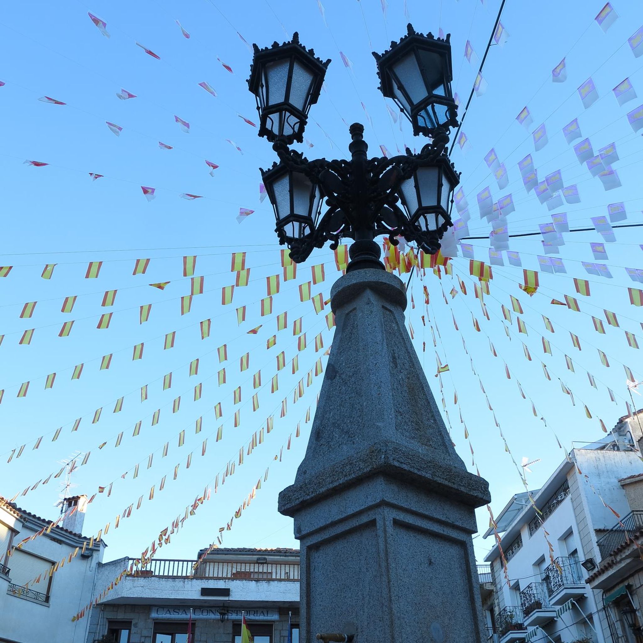
Mijares is located on the southern slope of the Villafranca mountain range, near the Tiétar river. The town is surrounded by a natural environment with forests and mountains, which makes it an attractive place for nature and hiking lovers. The most important points of the town are the parish church of San Bartolomé Apóstol, rebuilt in the 18th century, and the Plaza Mayor, the nerve center of the municipality, where various businesses are located and local events and activities are held.
2
0
Cadalso de los Vidrios acquired fame in the 16th and 17th centuries thanks to the fact that its glass factory supplied the royal pharmacy of the monastery of San Lorenzo de El Escorial. In the municipality there are important historical buildings, such as the Renaissance palace of Villena. This town is located at the top of the hillside, which allows you to contemplate the Alberche valley majestically.
1
0
The Church of St. Mary Magdalene in Garciotum is a 15th-century Gothic-Renaissance church. You'll probably notice that the tower is in a different style; it dates back to the 17th century.
1
0
Castillo de Bayuela is a town in the Sierra de San Vicente region that has monuments that prove its historical importance, such as the Gothic-Renaissance church of San Andrés, the jurisdictional roll or some vetone boars. In addition, it has a series of ideal services for the traveler.
2
0
Almendral de la Cañada is a small town on the Toledo slope of the Tiétar valley surrounded by olive and almond groves. It has several bars near the road and a public fountain, ideal for a good stop on the route.
0
0

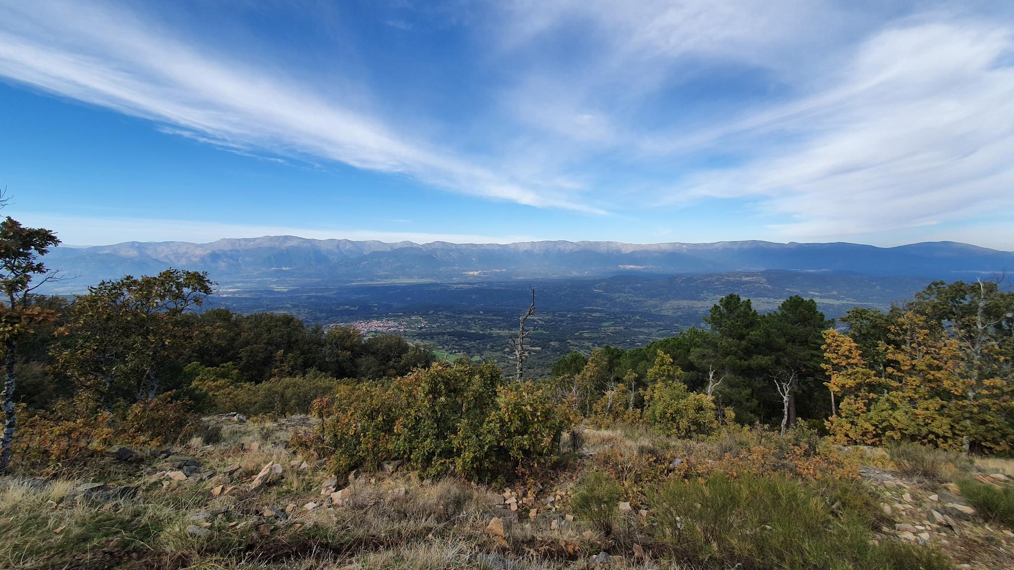
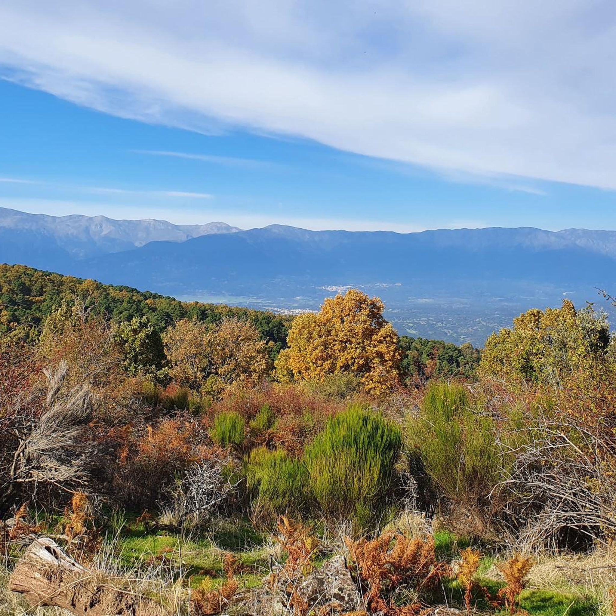
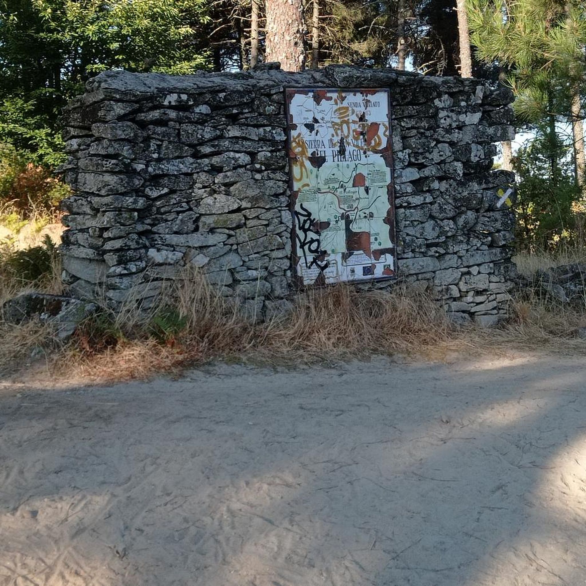
Port with beautiful views over El Real de San Vicente.
1
0
Frequently Asked Questions
What kind of terrain can I expect on road cycling routes around El Real de San Vicente?
Road cycling in El Real de San Vicente features diverse landscapes with significant elevation changes. You'll encounter granite formations, oak and chestnut trees, and demanding passes, particularly in the Sierra de San Vicente. The region is situated between the Tiétar and Alberche valleys, offering varied routes with both challenging ascents and scenic descents.
Are there challenging road cycling routes in El Real de San Vicente for experienced riders?
Yes, the area is well-known for its demanding passes and significant elevation gains, making it ideal for experienced road cyclists. Routes like El Piélago Pass – Mijares loop from Castillo de Bayuela, which covers over 100 km with more than 2,100 meters of elevation gain, offer a substantial challenge. The iconic El Piélago Pass is a favorite among local cyclists for its difficulty.
Are there any easier road cycling options for beginners or less experienced riders?
While many routes feature significant climbs, there are moderate options available. For example, the Main Square of Pelahustán – El Real de San Vicente loop from El Real de San Vicente is a moderate 42.7 km route with around 760 meters of elevation, offering a less strenuous experience while still enjoying the region's beauty.
What are some notable landmarks or viewpoints I can see along road cycling routes?
The region offers several impressive viewpoints and landmarks. Cyclists can enjoy panoramic views from San Vicente Hill (1320m), which provides vistas of the Toledo area and the Sierra de Gredos. Cruces Peak also offers stunning views of the Tiétar valley. The El Piélago Pass itself is a significant landmark, and you might pass through charming settlements like Main Square of Pelahustán.
What do other road cyclists enjoy the most about road cycling in El Real de San Vicente?
The road cycling routes around El Real de San Vicente are highly rated by the komoot community, with an average score of 5.0 stars. Cyclists often praise the demanding passes, the beautiful natural environment with oak and chestnut trees, and the ability to combine routes in multiple directions for varied experiences.
Are there any circular road cycling routes in the area?
Yes, many of the road cycling routes around El Real de San Vicente are designed as loops, allowing you to start and finish in the same location. Examples include the challenging El Piélago Pass – Hinojosa de San Vicente loop from Garciotum and the El Piélago Pass – Puerto del Piélago loop from Garciotum.
What is the best time of year for road cycling in El Real de San Vicente?
The region's climate generally allows for good cycling conditions for much of the year. Spring and autumn typically offer the most pleasant temperatures for tackling the demanding passes. Summers can be hot, especially in the valleys, so early morning rides are advisable. Winters are generally mild but can bring cooler temperatures at higher elevations.
Is there parking available for cyclists in El Real de San Vicente?
Yes, El Real de San Vicente and surrounding towns often have public parking areas suitable for cyclists. It's advisable to check specific starting points for routes, but generally, you'll find convenient places to park your vehicle before heading out on your ride.
Can I reach El Real de San Vicente by public transport with my bicycle?
Public transport options to El Real de San Vicente may be limited, especially for carrying bicycles. While some regional bus services might allow bikes, it's best to verify with the specific transport provider beforehand. Driving to the area is often the most straightforward option for cyclists with their own equipment.
Are there any cafes or places to stop for refreshments along the road cycling routes?
The towns and villages along the routes, such as El Real de San Vicente, Castillo de Bayuela, or Pelahustán, offer opportunities to stop for refreshments. You can find local cafes and bars to refuel and take a break during your ride. The area around Piélago also provides serene spots for a picnic among oak and chestnut trees.
Are there any specific regulations or permits required for cycling in the Sierra de San Vicente?
Generally, no specific permits are required for road cycling on public roads in the Sierra de San Vicente. However, always adhere to general Spanish traffic laws and respect local regulations, especially when passing through villages or protected natural areas. Stay on marked roads and trails.
Are there any family-friendly road cycling routes in El Real de San Vicente?
While many routes feature significant elevation, some of the less demanding sections or routes with moderate difficulty could be suitable for families with older, more experienced children. For younger families, it's recommended to look for routes with minimal traffic and flatter sections, which might be found in the valleys rather than the mountain passes.
Most popular attractions around El Real De San Vicente

Get inspired with the komoot mobile app


Explore more
Browse the best Road cycling routes in other regions.
