The best walks and hikes around El Real De San Vicente
4.7
(29)
211
hikers
33
hikes
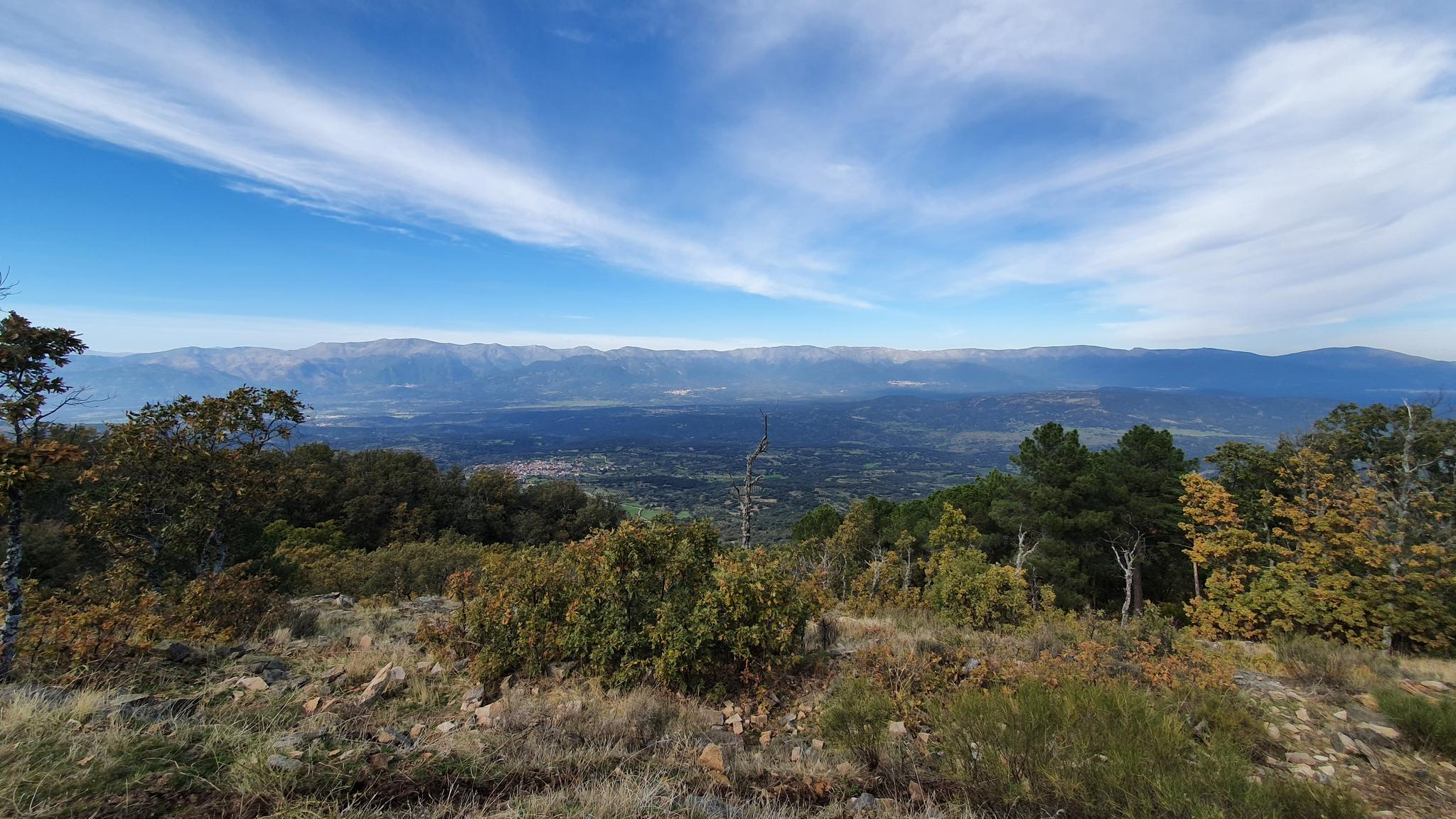
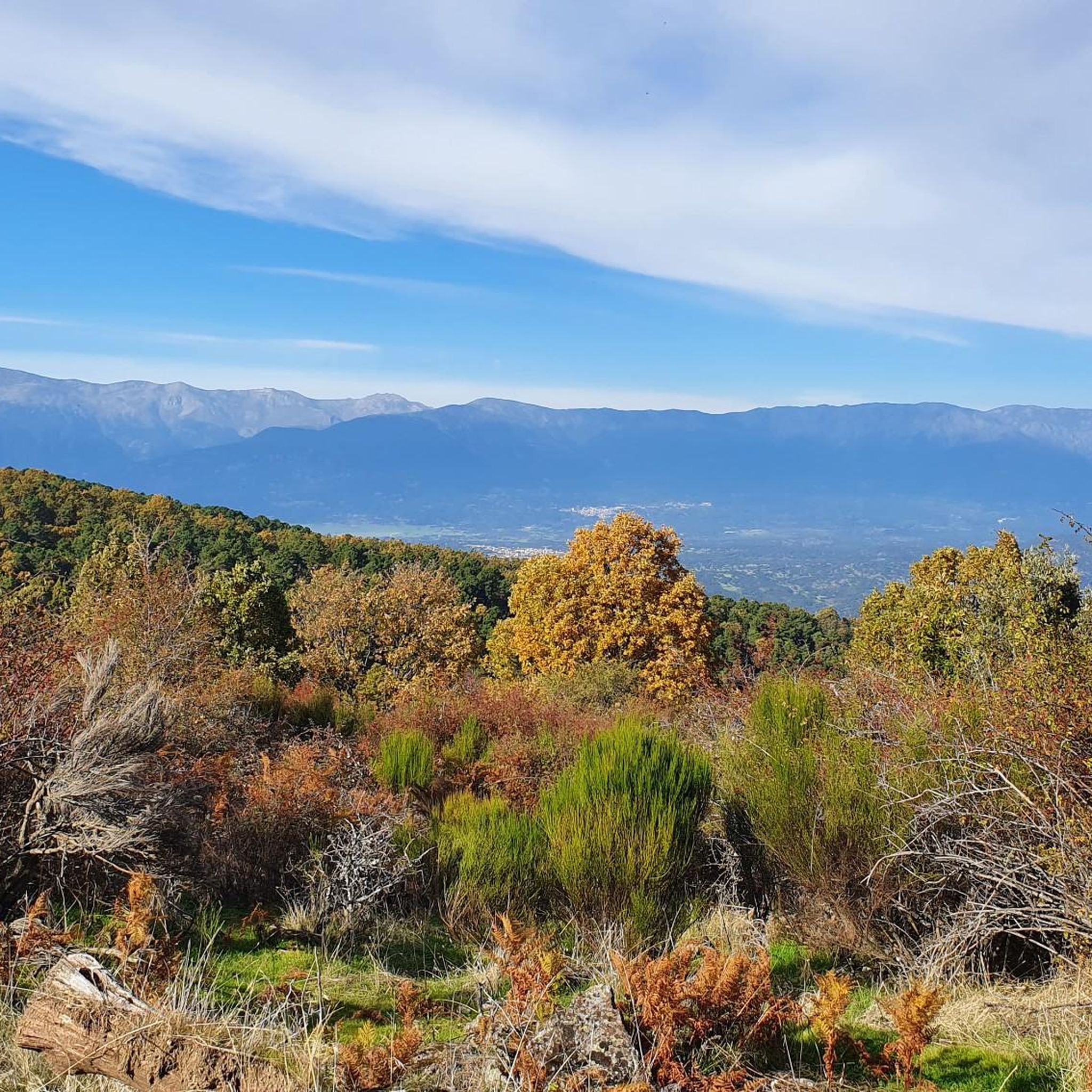
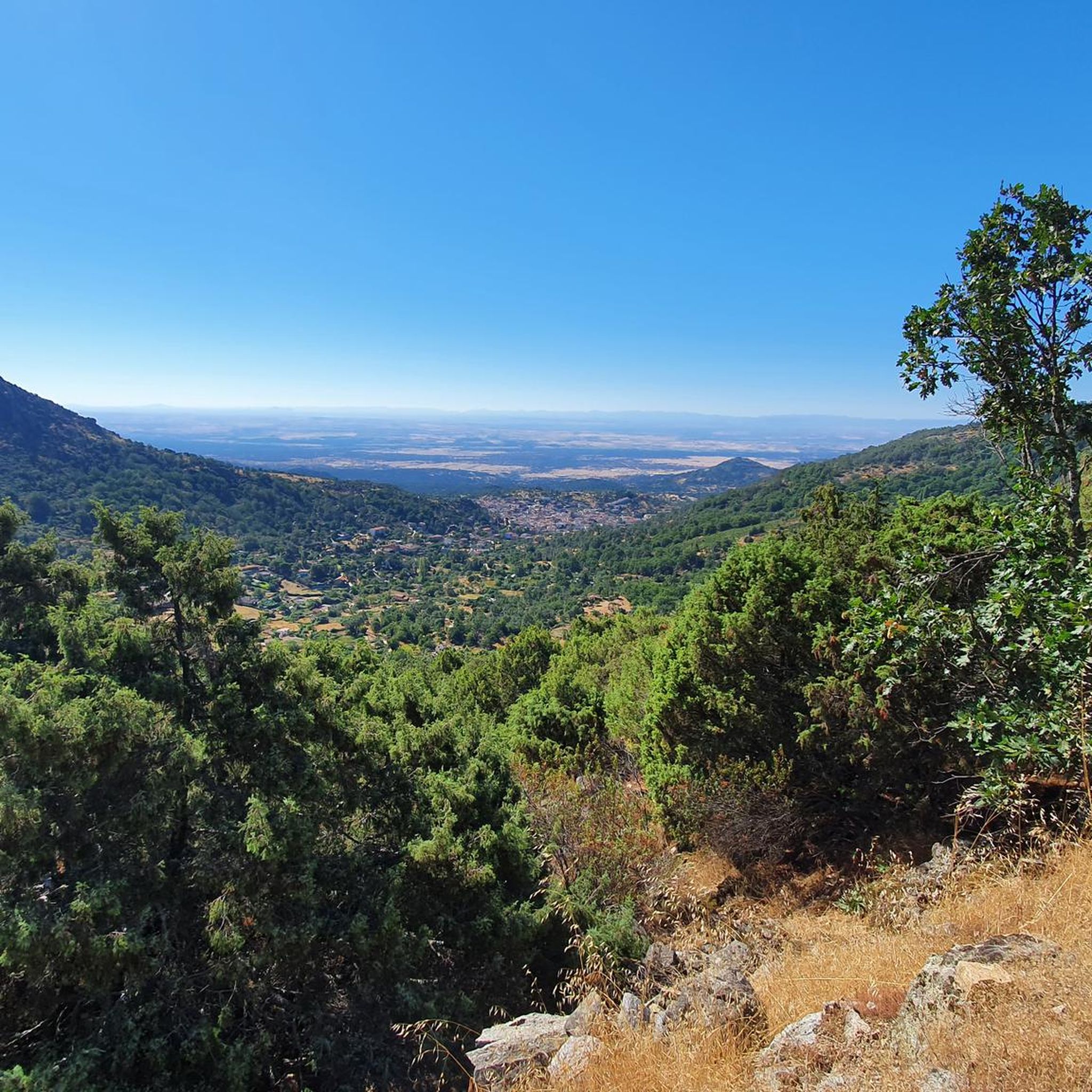
Hiking around El Real De San Vicente offers diverse landscapes within the Sierra de San Vicente mountain range. The region features significant elevations such as Cabeza del Oso and Pelados mountains, alongside Cerro de San Vicente, which reaches 1,320 meters. Extensive chestnut, pine, and oak forests characterize the area, complemented by numerous springs and fountains. The Bonal slope adds varied tree foliage to the natural environment.
Best hiking trails in El Real De San Vicente
- The most popular hiking route…
Last updated: July 7, 2026
4.2
(5)
26
hikers
14.2km
04:41
670m
670m
Hike the moderate 8.8-mile Cabeza del Oso and Pelados Trail (PR-TO 21) for panoramic views of the Tajo River basin and Sierra de Gredos.
5.0
(3)
10
hikers
10.5km
03:38
580m
580m
Hike the moderate 6.5-mile Cerro de San Vicente and Cabeza del Oso Loop in Toledo, offering picturesque views and varied foliage.

Sign up for free
28
hikers
9.51km
02:42
210m
210m
Moderate hike. Good fitness required. Easily-accessible paths. Suitable for all skill levels.
5.0
(3)
21
hikers
Moderate hike. Good fitness required. Easily-accessible paths. Suitable for all skill levels.
5
hikers
Moderate hike. Good fitness required. Easily-accessible paths. Suitable for all skill levels.
Get access to more routes and recommendations from other explorers.
Sign up for free
Already have an account?
Our route recommendations are based on thousands of hikes, rides, and runs completed by other people on komoot.
Start today with a free account
Your next adventure awaits.
Login or Signup
Other adventures around El Real De San Vicente

Tips from the Community

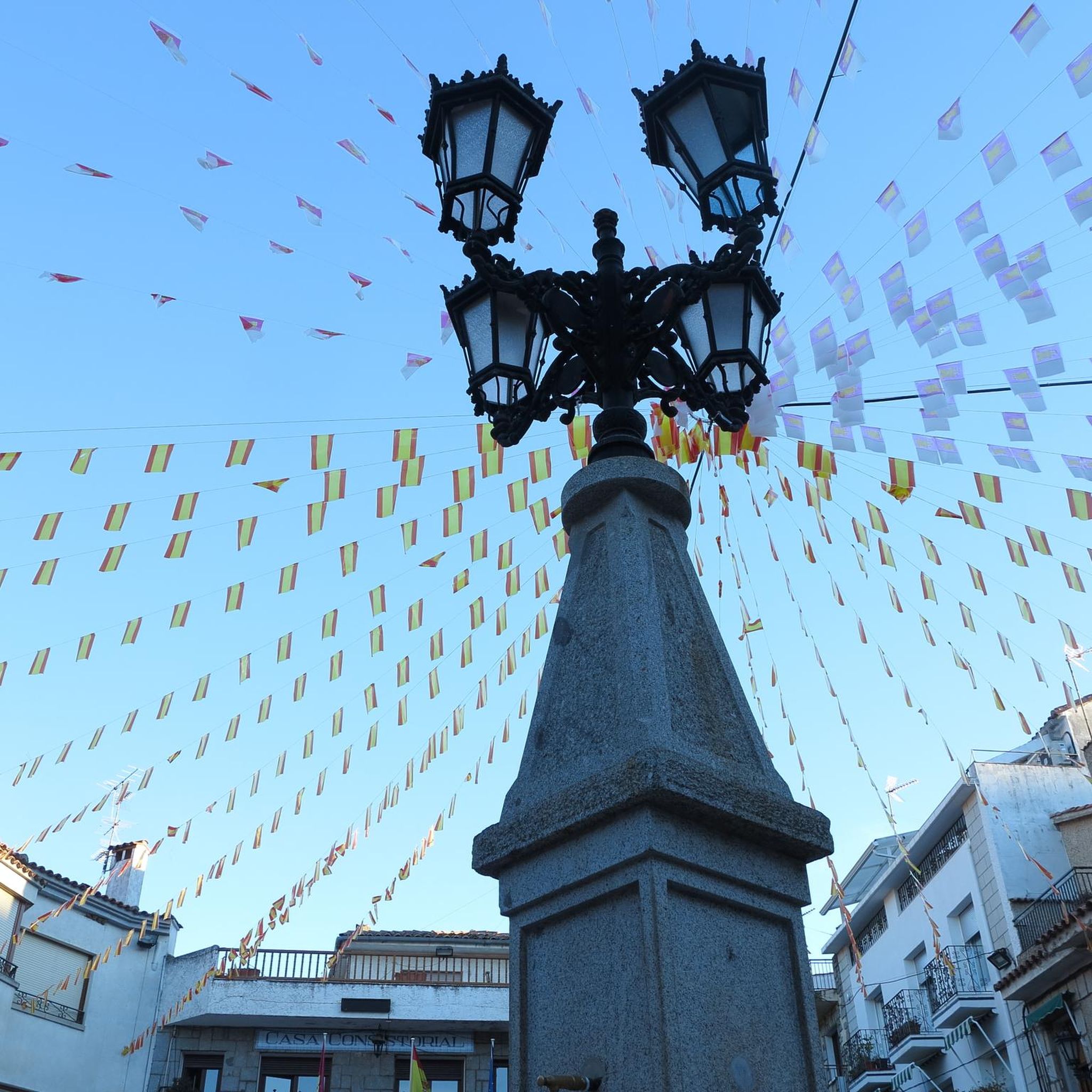
El Real de San Vicente is located at the foot of the mountain range from which it takes its name, in a prime setting for outdoor activities. Its location is associated with military settlements in the 11th and 12th centuries. Remains of its millennia-long occupation are preserved in the village.
0
0
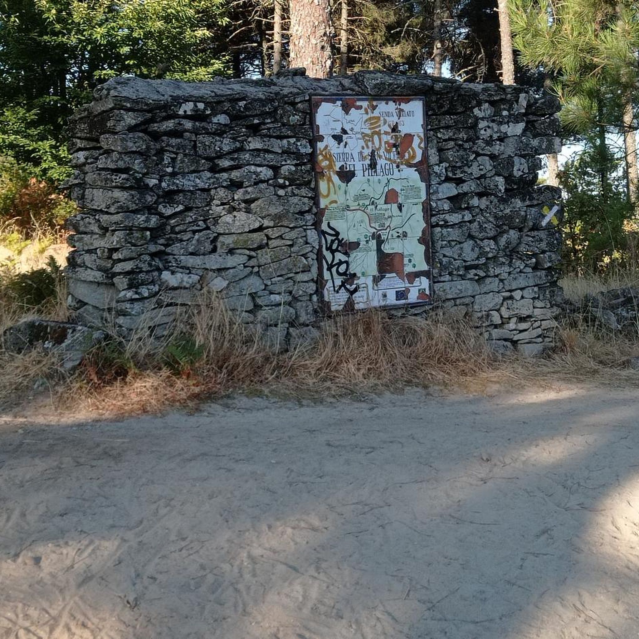
The port of Piélago is located at an altitude of 1,222 meters and is a classic of Toledo cycling. It is located in Real de San Vicente and is a pass between the north and south slopes of the Sierra de San Vicente. Towards the south face there are good views of the Toledo steppe.
0
0

old chapel ruins, from there a view of the castle ruins and an imposing view
1
0


The top of Cruces at 1373 meters above sea level. It is one of the most impressive panoramic points in the Navamorcuende region. It offers beautiful views in all directions, so I recommend you take some time and enjoy the beautiful views while you recharge your batteries after the climb.
1
0
The summit of Cruces at 1,373 meters above sea level is one of the most impressive panoramic points in the Navamorcuende region. It offers beautiful views in all directions so I recommend taking some time and enjoying the beautiful views while having a picnic up here to recharge your batteries.
1
0
Another section of the marked path Cabeza del Oso y Pelados (PR-TO 21) that runs along the border of Monte Peladas and Cabeza del Turmal, offering wonderful views of the Sierra de Gredos area.
1
1
The marked circular route of the Cabeza del Oso and Pelados trail has a total length of 15 kilometers, starting from the village of El Real de San Vicente and crossing one of the most picturesque areas of Toledo. This section of the trail, just under a kilometer long, runs alongside the Bonal slope and crosses a beautiful landscape where, depending on the time of year, you'll enjoy a varied palette of colors in the tree foliage.
2
0
Frequently Asked Questions
How many hiking trails are available in El Real De San Vicente?
El Real De San Vicente offers a diverse network of over 30 hiking trails. These range from easy paths suitable for all fitness levels to more demanding treks, ensuring options for every hiker.
Are there any easy or beginner-friendly hikes in El Real De San Vicente?
Yes, there are 5 easy routes in the area, perfect for beginners or those looking for a relaxed stroll. These paths are generally up to 2 hours long with minimal elevation gain, making them suitable for all fitness levels.
What are the best times of year to go hiking in El Real De San Vicente?
The fresh environment, especially in spring, makes for enjoyable hiking conditions. The region's abundant chestnut, pine, and oak forests also offer varied tree foliage, making autumn a picturesque time to visit. While not explicitly mentioned for winter, the diverse landscapes are generally accessible year-round.
What kind of landscapes can I expect to see while hiking in El Real De San Vicente?
Hikers in El Real De San Vicente will encounter diverse landscapes, including significant elevations like the Cabeza del Oso and Pelados mountains, and the Cerro de San Vicente (1,320m). The region is characterized by extensive chestnut, pine, and oak forests, the scenic Bonal slope, and numerous springs and fountains.
Are there any circular walks in El Real De San Vicente?
Yes, the area features several circular routes. A notable option is the Cabeza del Oso and Pelados Trail (PR-TO 21), a 14.2 km moderate circular route. Another popular choice is the Cerro de San Vicente and Cabeza del Oso Loop, which is 10.5 km long.
What are some interesting natural features or landmarks to see along the trails?
Hikers can discover several natural and historical points of interest. The village itself boasts a 'Sendero de las Fuentes' (Path of the Fountains) with 17 different fountains, including the historic Fuente de los Caños. You can also find a charming wooden bridge over a waterfall within the village. For panoramic views, consider visiting San Vicente Hill (1320m).
What do other hikers say about the trails in El Real De San Vicente?
The routes in El Real De San Vicente are highly rated by the komoot community, with an average score of 4.5 stars from more than 20 reviews. Hikers often praise the diverse terrain, the stunning panoramic views from elevated points, and the well-maintained paths through the extensive forests.
Are there any routes that offer expansive views?
Absolutely. The Cerro de San Vicente and Cabeza del Oso Loop offers expansive views from Cerro de San Vicente (1320m), allowing you to marvel at the Toledo area, including the Sierra de Gredos park and Alto Tiétar.
Are there any trails that feature water sources or waterfalls?
Yes, water is a prominent feature in the landscape. The village of El Real de San Vicente has a route known as the 'Sendero de las Fuentes' (Path of the Fountains), which showcases 17 different fountains, including the historic Fuente de los Caños. Additionally, a charming wooden bridge over a waterfall can be found within the village.
What is the typical duration for hikes in this region?
Hikes in El Real De San Vicente vary in duration. Moderate trails like the Cabeza del Oso and Pelados Trail (PR-TO 21) typically take around 4 hours and 41 minutes. Shorter options, such as the Sierra Cruces – Puerto del Piélago loop from Campamento El Piélago, can be completed in about 2 hours and 42 minutes.
Are there any cultural or historical sites near the hiking trails?
Yes, near the trails, you can find a convent and the hermitage of Virgen de Piélago, offering cultural points of interest amidst your hikes. The historic Fuente de los Caños, dating back to 1794, is also part of the 'Sendero de las Fuentes' within the village.
Most popular attractions around El Real De San Vicente

Get inspired with the komoot mobile app


Explore more
Browse the best Hikes in other regions.
