The best walks and hikes around Belalcázar
4.7
(3)
22
hikers
14
hikes
Hiking around Belalcázar, Colombia, offers routes through diverse natural landscapes characterized by rolling hills and lush ecosystems. The region features mountainous terrain, providing views of the Coffee Region and the Western and Central Cordilleras. Significant river systems like the Río Cauca and Río Risaralda also define the area's geography. These varied environments support a rich biodiversity, enhancing the outdoor experience.
Best hiking trails around Belalcázar
- The most popular hiking route is Cabeza del Bouy — circular by Ermita del Calvario…
Last updated: October 5, 2026
5.0
(1)
2
hikers
14.7km
04:24
430m
430m
Moderate hike. Good fitness required. Easily-accessible paths. Suitable for all skill levels.
1
hikers
12.7km
03:42
340m
340m
Hike the moderate 7.9-mile Monterrubio de la Serena circular trail by Laguna Lobos, gaining 1122 feet in about 3 hours and 42 minutes.

1
hikers
18.7km
05:09
300m
300m
Hike the difficult 11.6-mile Almorchón circular route through the Sierra de la Rinconada, featuring valley views and Roman baths.
5.43km
01:42
210m
210m
Hike 3.4 miles to the Hermitage of Calvario from Cabeza Del Buey for easy terrain, panoramic views, and historical sights.
6
hikers
6.29km
01:37
30m
30m
Easy hike. Great for any fitness level. Easily-accessible paths. Suitable for all skill levels.
Get access to more routes and recommendations from other explorers.
Already have an account?
Our route recommendations are based on thousands of hikes, rides, and runs completed by other people on komoot.
Start today with a free account
Your next adventure awaits.


Tips from the Community

The Ermita del Calvario in Cabeza del Buey is a very special place of worship, located on top of a hill. This hermitage offers stunning views of the surrounding landscape. The route to the hermitage begins on Calle Oriente and winds along the slope of the Sierra del Pedregoso. Along the way, there are 14 crosses that symbolize the stops that Jesus made while carrying the cross before being crucified. The hermitage, built in the 18th century by the Gante family, has recently been restored and houses simple but beautiful paintings inside.
4
0

A stage destination on the Camino Mozarabe
0
1

Gravel hiking trail on the outskirts of the town of Monterrubio, surrounded by olive plantations, the mountain range above is in sight.
2
1
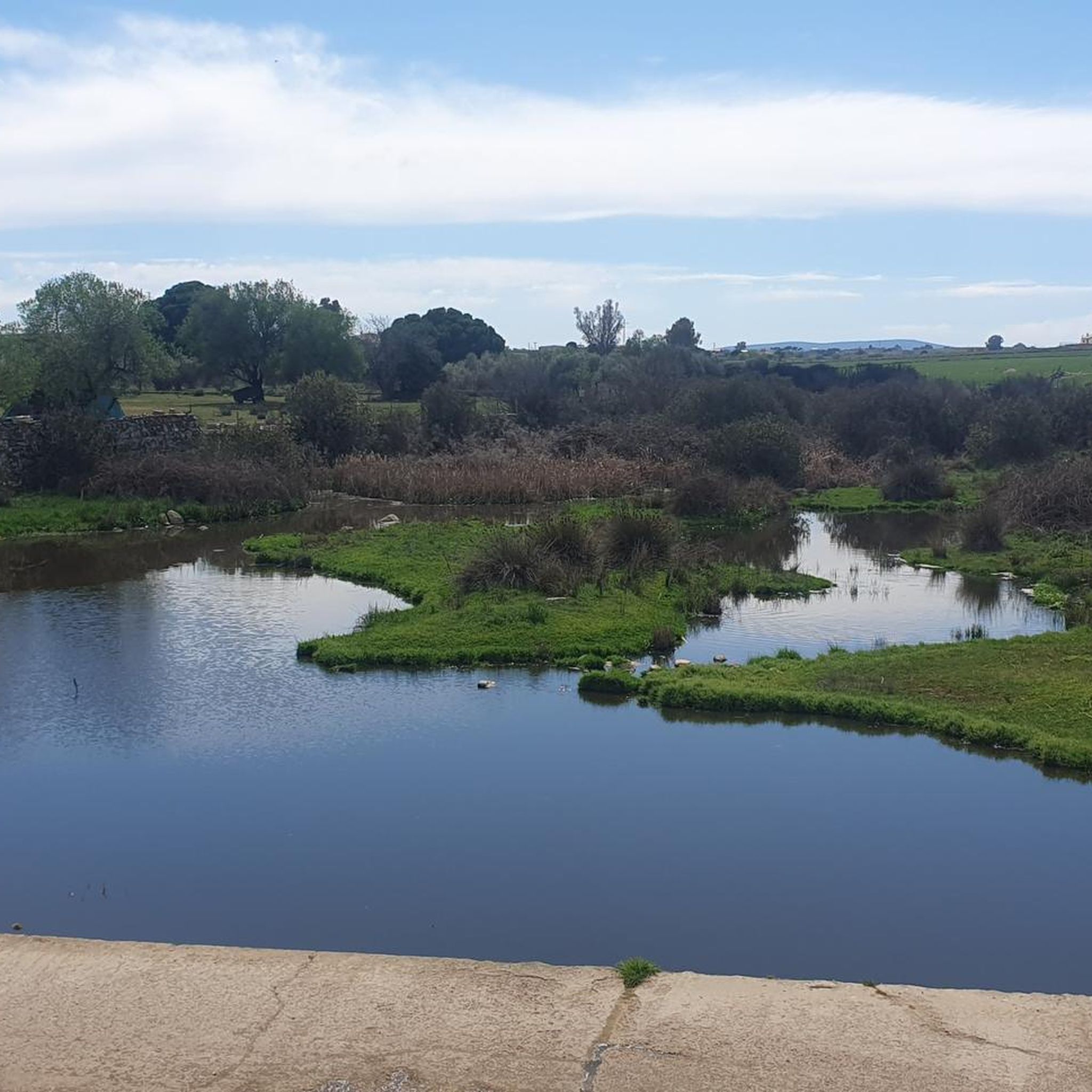
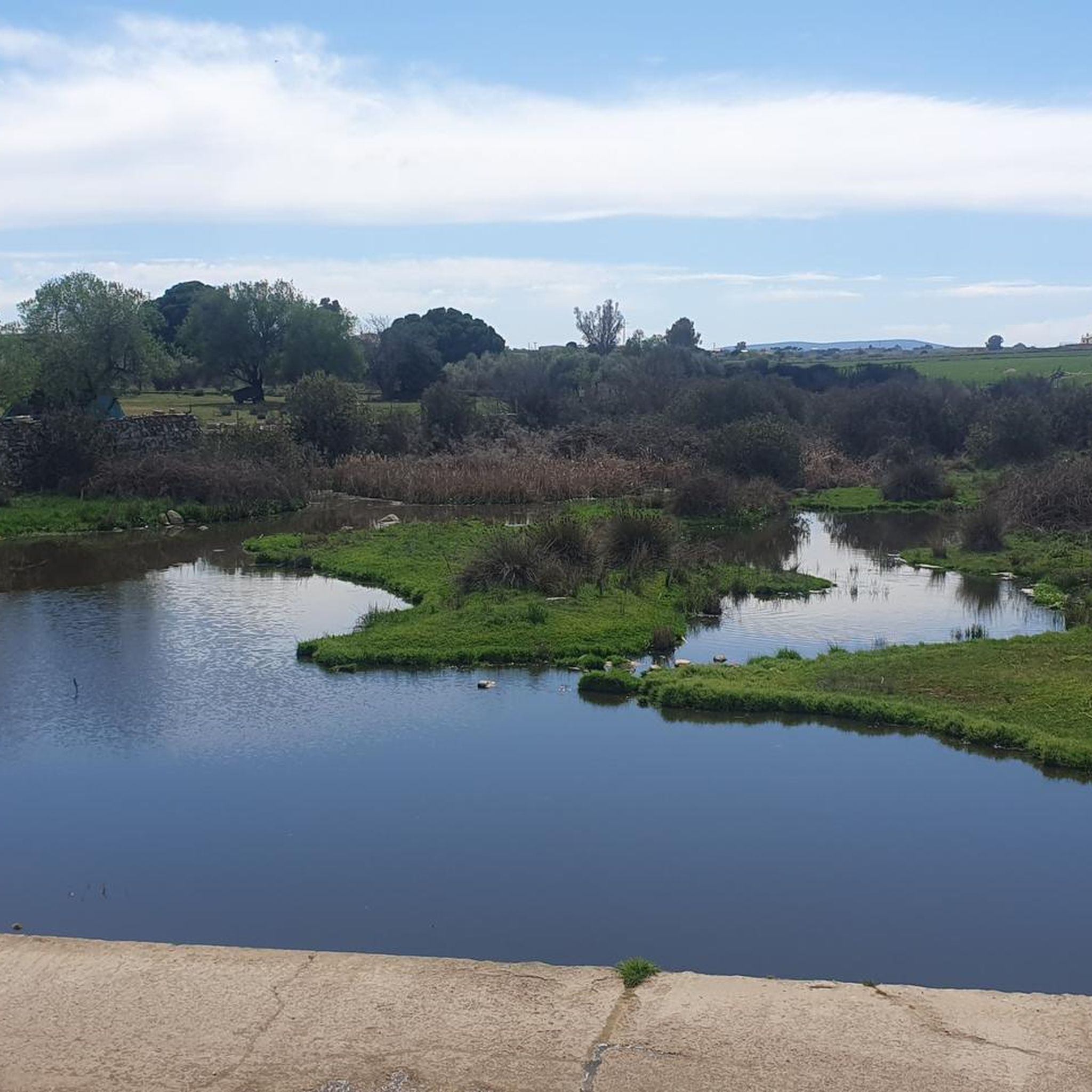
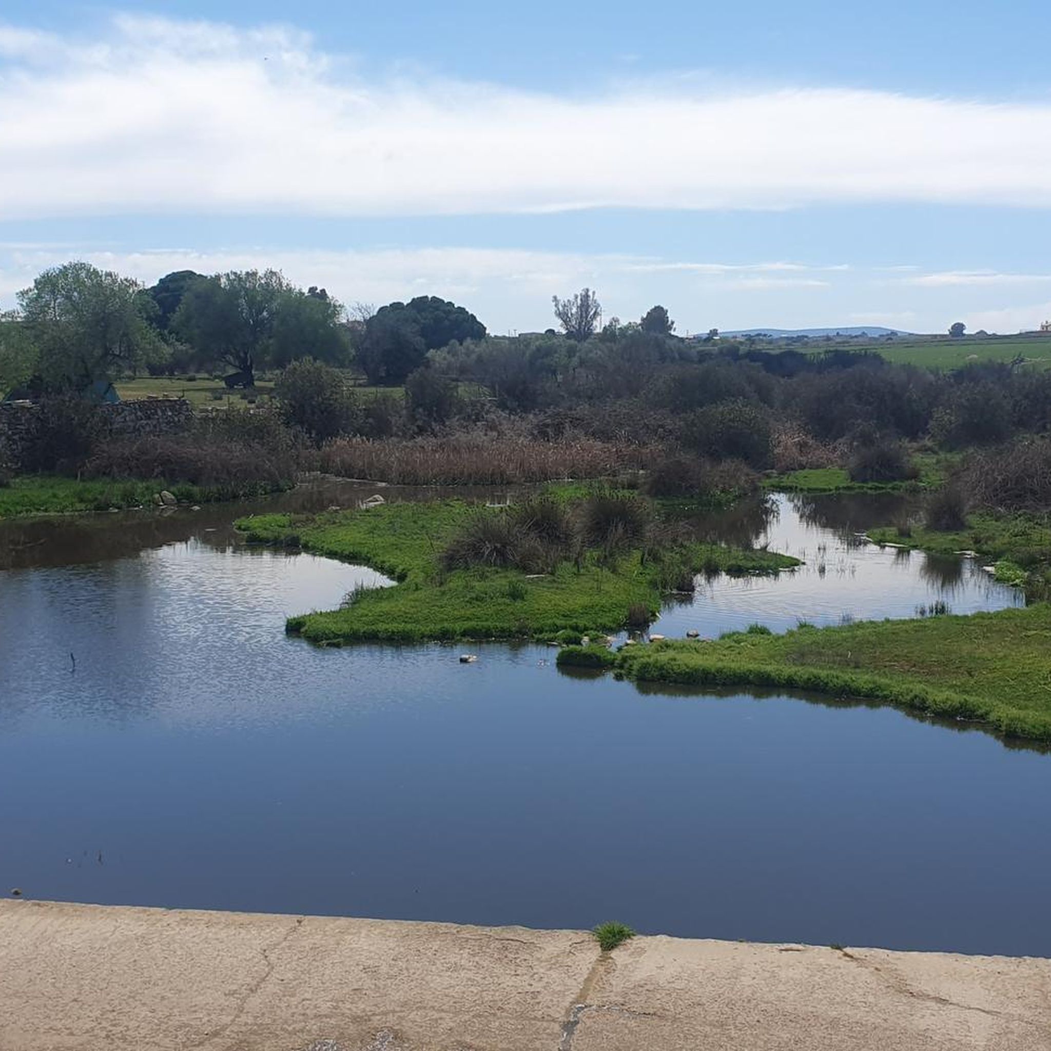
The Wolf Lagoon, as the myth goes, is a rock formation where water is collected during the rainy season and is believed to provide shelter and water to wild wolves. The place is located along the hiking trails outside Monterrubio de la Serena in the Sierra de Oro.
1
1
Monterrubio de la Serena is a small town on the Platou de la Serena in the foothills of the Sierra de Oro. A great natural outdoor hiking landscape to the southwest of the town.
2
1
The Almorchón train station has the Puertollano-Zafra regional line. A great place to start your hiking adventure in this area.
2
0
The path reaches the port of La Nava and the view of the valley opens up. The port is located between the peaks of the Sierra de la Osa and the Sierra de la Vaca, descending towards Almorchón or Cabeza del Buey.
1
0
Ruins of settlements from the Roman era and their love for the well-being provided by the hot thermal waters at the foot of the mountain of Puerto de la Nava.
1
0
Frequently Asked Questions
How many hiking trails are available around Belalcázar?
There are 14 hiking trails around Belalcázar, offering a variety of experiences for different skill levels. These routes are highly rated by the komoot community.
What are the difficulty levels of the hiking trails in Belalcázar?
The trails around Belalcázar cater to various fitness levels. You'll find 5 easy routes perfect for a relaxed stroll, 7 moderate trails for a more engaging hike, and 2 difficult paths for those seeking a challenge.
Are there any circular hiking routes in Belalcázar?
Yes, several circular routes are available. For example, you can explore the Cabeza del Bouy — circular by Ermita del Calvario and Sierra de la Vaca, a moderate 9.1-mile (14.7 km) trail, or the more challenging Almorchón — circular through the Sierra de la Rinconada, which is 11.6 miles (18.7 km) long.
What kind of landmarks or attractions can I see along the hiking trails?
The area around Belalcázar is rich in historical and natural sights. You can visit the impressive Fuente El Pilar and Belalcázar Castle, or the historic Church of San Juan Bautista of Hinojosa del Duque. For natural features, consider the La Colada Reservoir Dam.
Are there any easy hiking routes suitable for beginners or families?
Absolutely! There are 5 easy routes around Belalcázar. A great option is the Hermitage of Calvario from Cabeza Del Buey, a 3.4-mile (5.4 km) trail. Another easy choice is the Hinojosa del Duque – Hinojosa del Duque loop, which is 3.9 miles (6.3 km) long.
What do other hikers enjoy most about the trails in Belalcázar?
The trails in Belalcázar are highly regarded by the komoot community, with an average rating of 4.5 stars from over 2 reviews. Hikers often praise the diverse natural landscapes, rolling hills, and the scenic views encountered along the routes.
How long do hikes in Belalcázar typically take?
Hike durations vary depending on the route and your pace. For instance, the moderate Monterrubio de la Serena — circular by the Laguna Lobos typically takes about 3 hours 42 minutes, while the longer Cabeza del Bouy circular can take around 4 hours 24 minutes.
Are there any challenging routes for experienced hikers?
Yes, for experienced hikers seeking a challenge, there are 2 difficult routes. A notable option is the Almorchón — circular through the Sierra de la Rinconada, an 11.6-mile (18.7 km) path that traverses varied and demanding terrain.
Can I bring my dog on the hiking trails in Belalcázar?
While specific regulations for dogs on each trail may vary, generally, many outdoor areas in Spain are dog-friendly, especially on leash. We recommend checking local signage or specific route details on komoot for any restrictions before heading out with your pet.
Is there parking available near the trailheads?
Parking availability can vary by trailhead. In smaller towns and rural areas like Belalcázar, you can often find street parking or designated areas near popular starting points. It's advisable to check the specific route information on komoot or local maps for parking suggestions.
What is the best time of year to go hiking in Belalcázar?
The best time for hiking in Belalcázar, given its location in southern Spain, is typically during the spring (March to May) and autumn (September to November) months. During these periods, the weather is generally mild and pleasant, avoiding the intense heat of summer and the cooler, wetter conditions of winter.
Most popular routes around Belalcázar
Most popular attractions around Belalcázar

Get inspired with the komoot mobile app


Explore more
Browse the best Hikes in other regions.
