The best road cycling routes around O Pereiro De Aguiar
4.6
(91)
4,853
riders
23
rides
Road cycling routes around O Pereiro de Aguiar traverse a landscape shaped by the Miño and Loña rivers, offering a mix of riverbank scenery and varied topography. The region features rolling hills and winding roads, with elevations reaching up to 686 meters in the east and around 463 meters in the west. This diverse terrain provides both challenging climbs and rewarding descents for road cyclists.
Best road cycling routes around O Pereiro de Aguiar
- The most popular road cycling route…
Last updated: October 10, 2026
31
riders
57.6km
03:02
1,050m
1,050m
This difficult 35.8-mile road cycling route from Ourense to Luintra features 3452 feet of elevation gain through scenic Galician countryside
5.0
(1)
91
riders
81.3km
04:41
1,750m
1,750m
Hard road ride. Very good fitness required. Mostly well-paved surfaces and easy to ride.

27
riders
Moderate road ride. Good fitness required. Mostly well-paved surfaces and easy to ride.
5.0
(1)
21
riders
91.1km
04:37
1,550m
1,550m
Hard road ride. Very good fitness required. Mostly well-paved surfaces and easy to ride.
16
riders
60.3km
03:12
1,160m
1,160m
Hard road ride. Very good fitness required. Mostly well-paved surfaces and easy to ride.
Get access to more routes and recommendations from other explorers.
Already have an account?
Our route recommendations are based on thousands of hikes, rides, and runs completed by other people on komoot.
Start today with a free account
Your next adventure awaits.

Tips from the Community

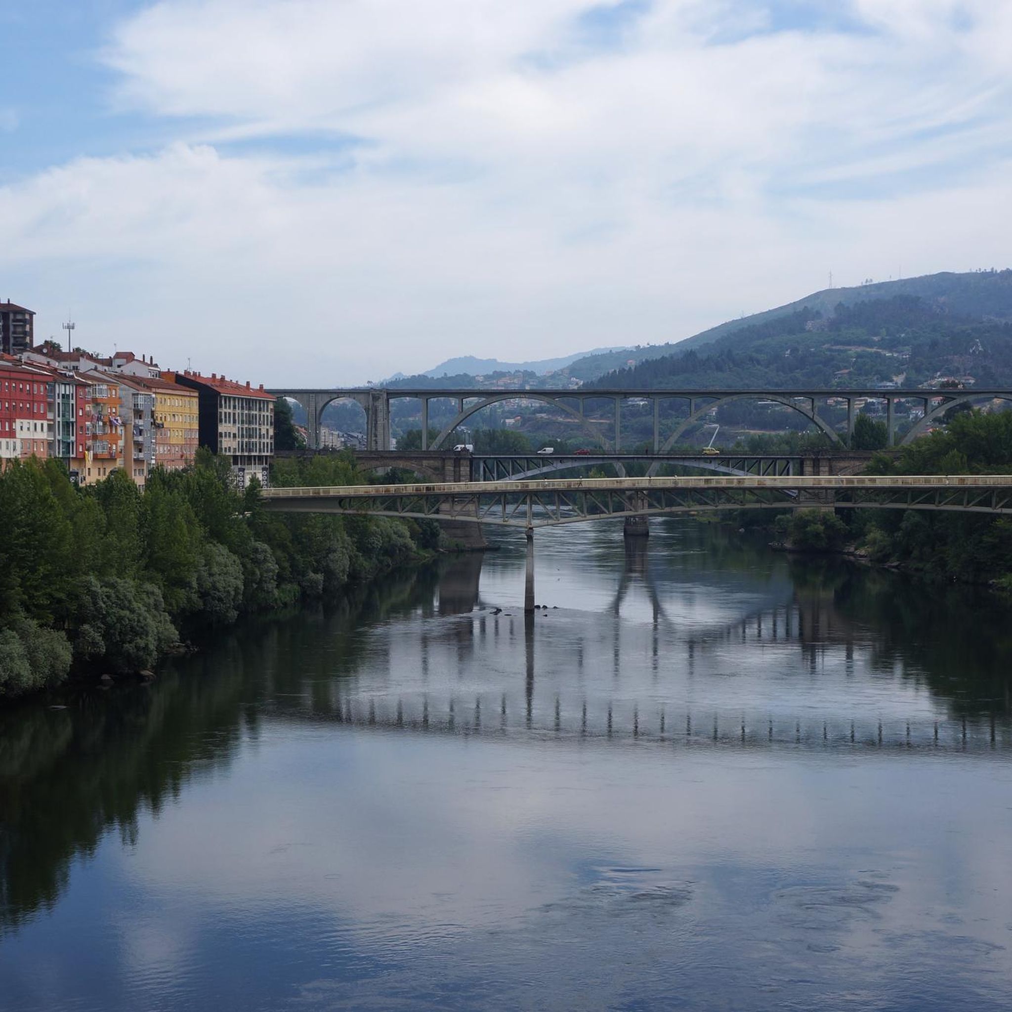
It spans the Miño River, linking the historic center of Ourense with the A Ponte neighborhood. It was built in the 1st century AD as a branch of the Via Nova (Via XVIII), connecting Bracara Augusta (Braga) with Asturica Augusta (Astorga). Only traces of the original Roman phase remain, such as rusticated stonework at the ends near the banks. It suffered damage during the Middle Ages; in 1228, under Bishop Lorenzo and with the support of Ferdinand III, it was rebuilt with pointed arches and renovated approaches. Until the 17th century, the bridge repeatedly collapsed. The final work was directed by Melchor de Velasco Agüero around 1660, establishing its current appearance.
1
0

The Monastery of San Pedro de Rocas is one of the oldest and most unique monasteries in Galicia, located in the municipality of Esgos, in the province of Ourense. This monastery stands out for being partially excavated in the rock, which gives it a unique and mysterious character. The foundation of the monastery dates back to the 6th century, although most of the structures visible today date from the 9th and 10th centuries. The monastery church is composed of three naves excavated in the rock, with a series of anthropomorphic tombs also carved in the stone. Outside, you can see a bell tower that was added in the 15th century. San Pedro de Rocas is known not only for its architecture, but also for its natural environment, surrounded by forests and mountains, making it a place of great beauty and tranquility. The monastery has been declared a Historic-Artistic Monument and is an important tourist and pilgrimage destination.
1
0

Interesting bridge 🤙
0
2

Visitable castle restored in different areas and worth seeing, along with the streets that surround it, medieval area of the town of Castro Caldelas
0
1

Very beautiful bridge from Roman times
2
1
Frequently Asked Questions
What types of terrain can I expect on road cycling routes around O Pereiro de Aguiar?
Road cycling routes in O Pereiro de Aguiar offer a diverse mix of landscapes. You'll find riverbank scenery shaped by the Miño and Loña rivers, alongside rolling hills and winding roads. The eastern part of the municipality features higher altitudes, reaching up to 686 meters, while the western side has elevations around 463 meters, providing both challenging climbs and rewarding descents.
Are there road cycling routes suitable for beginners or those looking for an easier ride?
Yes, while many routes feature significant elevation changes, there are options for various skill levels. Komoot lists 6 easy road cycling routes in the area. For example, the route Near Cachamuiña – Loña River in Cebreiros loop from A Penela is a moderate 29.1 km ride with 516 meters of elevation gain, offering a less strenuous option.
What are some of the more challenging road cycling routes in the region?
O Pereiro de Aguiar is known for its challenging routes. One of the most difficult is the Cachamuíña Reservoir – Castro Caldelas Castle loop from I.T.V. de Ourense, which spans 92.2 km with over 1500 meters of elevation gain. Another demanding option is the Cachamuíña Reservoir – Allariz Roman Bridge loop from O Pereiro de Aguiar, covering 80.7 km with over 1100 meters of climbing.
Are there any scenic viewpoints or natural attractions along the cycling routes?
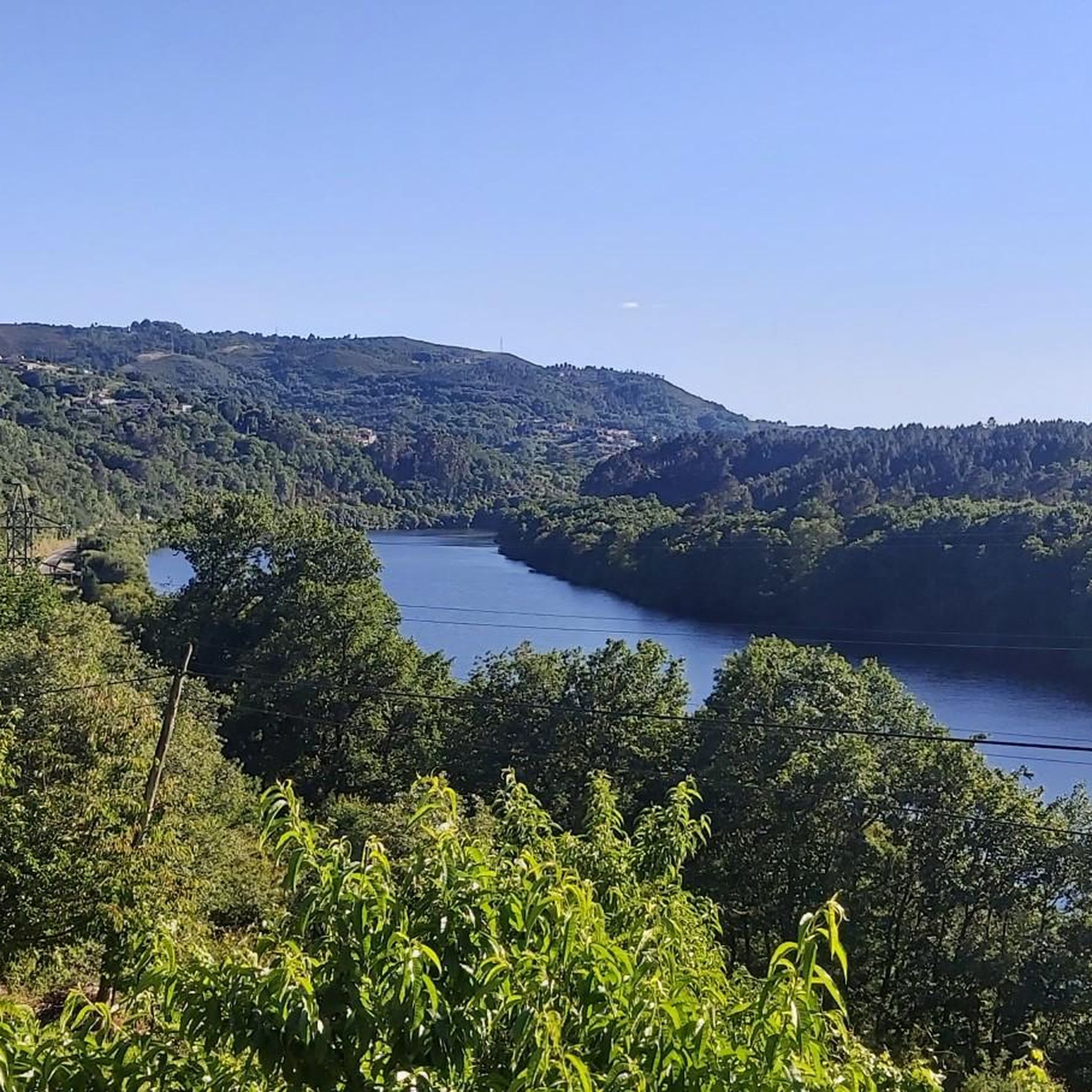
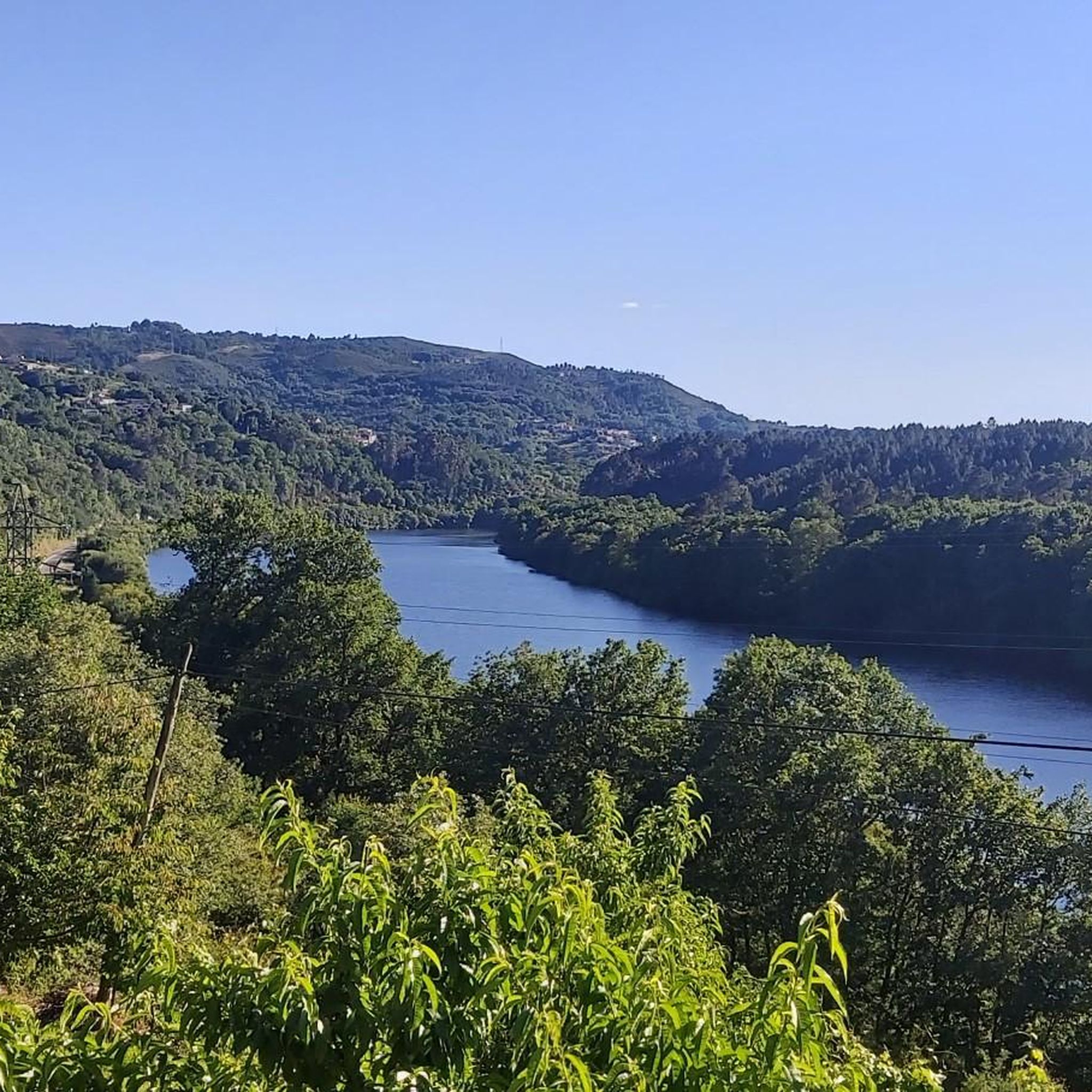
Absolutely. The region is rich in natural beauty. Cyclists can enjoy panoramic views from various points, such as the recreational area on Monte de Santa Marta. The Miño and Loña rivers, along with the Cachamuíña and Castadón reservoirs, also offer picturesque landscapes. You can also find highlights like the Pedra Longa Viewpoint and the A Lampa Viewpoint, which provide stunning vistas.
What historical or cultural sites can I visit while road cycling in O Pereiro de Aguiar?
The proximity to Ourense allows for cultural exploration. You can incorporate visits to the historic Ponte Vella (Roman Bridge of Ourense), the unique Main Square of Ourense, and the impressive Cathedral of San Martín de Ourense. Additionally, the Castro de Santomé offers a glimpse into ancient history.
Are there any unique places to relax or recover after a ride?
Yes, the Outariz Hot Springs, decorated in a Japanese style, are a fantastic option for relaxation and recovery. They offer massages, baths, and a bar, providing a perfect way to unwind after exploring the routes.
What is the best time of year for road cycling in O Pereiro de Aguiar?
The region generally offers pleasant conditions for cycling. While specific weather data isn't provided, Galicia's climate typically means mild temperatures for much of the year. Spring and autumn are often ideal, avoiding the peak heat of summer and potential winter rains, though the lush greenery suggests a good cycling experience across many seasons.
Are there any loop routes available for road cyclists?
Yes, many of the road cycling routes in O Pereiro de Aguiar are designed as loops, allowing you to start and end at the same point. Examples include the popular Ourense and Sil Canyon Loop and the Pereiras Fountain – Castillo de Maceda loop from I.T.V. de Ourense.
What do other road cyclists say about the routes in O Pereiro de Aguiar?
The road cycling routes in O Pereiro de Aguiar are highly regarded by the komoot community, holding an average score of 4.5 stars from over 50 reviews. Cyclists often praise the varied terrain, scenic river valleys, and rolling hills that define the area, making for a rewarding experience.
Is it possible to access the road cycling routes using public transport?
While specific public transport connections directly to trailheads are not detailed, O Pereiro de Aguiar is close to Ourense, a major city with public transport links. Cyclists often start routes from locations like I.T.V. de Ourense, suggesting accessibility from urban centers.
Are there any waterfalls to see along the road cycling routes?
While the region is characterized by rivers and reservoirs, the Trail to Gundrei Waterfall is listed as a highlight in the gorges around O Pereiro de Aguiar. While it's a trail, it indicates the presence of waterfalls in the broader natural landscape that cyclists might encounter or detour to see.
Most popular routes around O Pereiro De Aguiar
Most popular attractions around O Pereiro De Aguiar

Get inspired with the komoot mobile app


Explore more
Browse the best Road cycling routes in other regions.
