The best walks and hikes around El Viso De San Juan
4.7
(7)
88
hikers
26
hikes
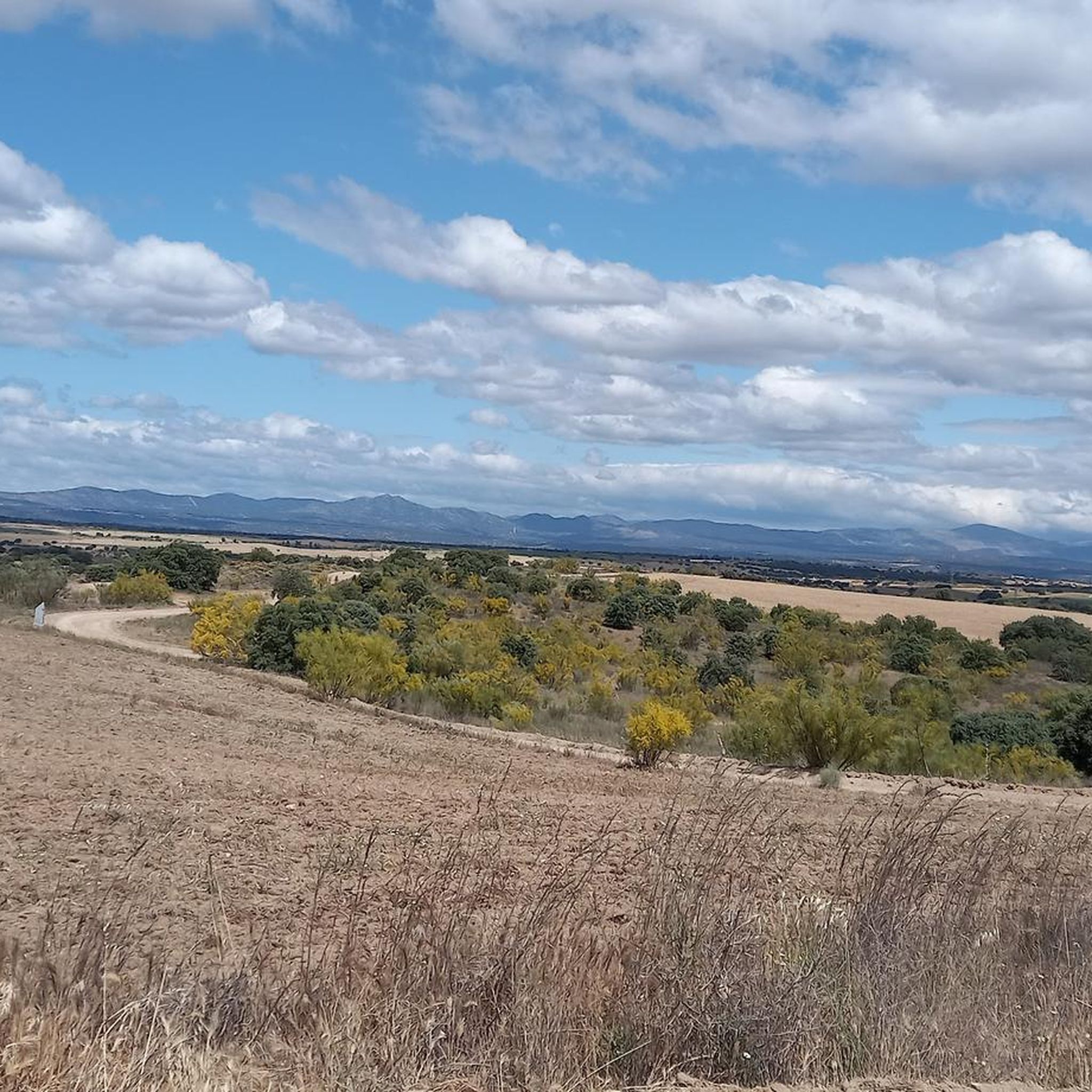
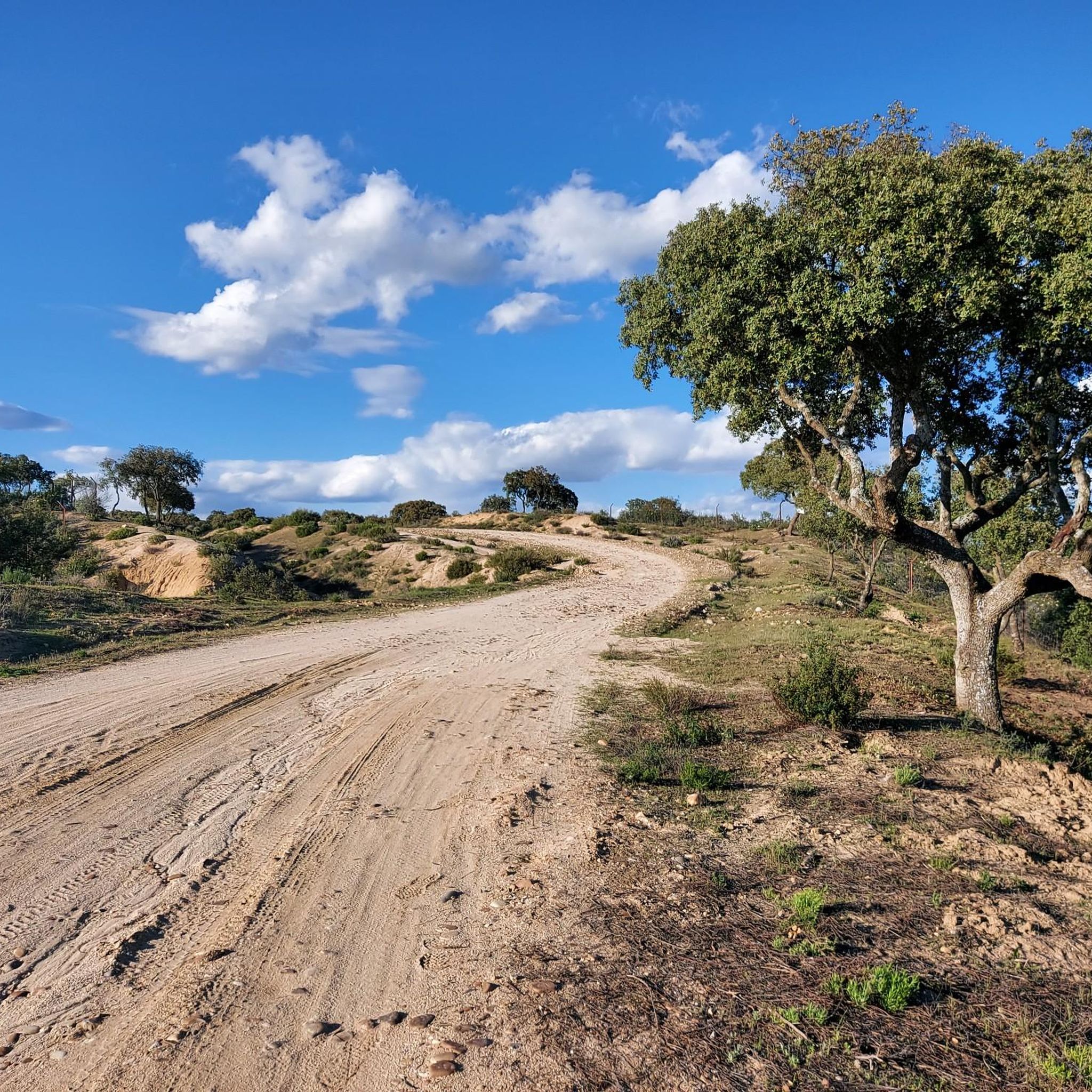
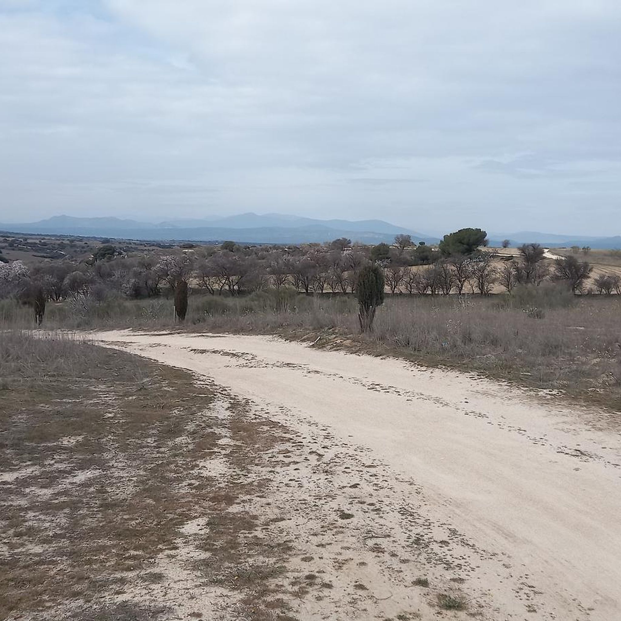
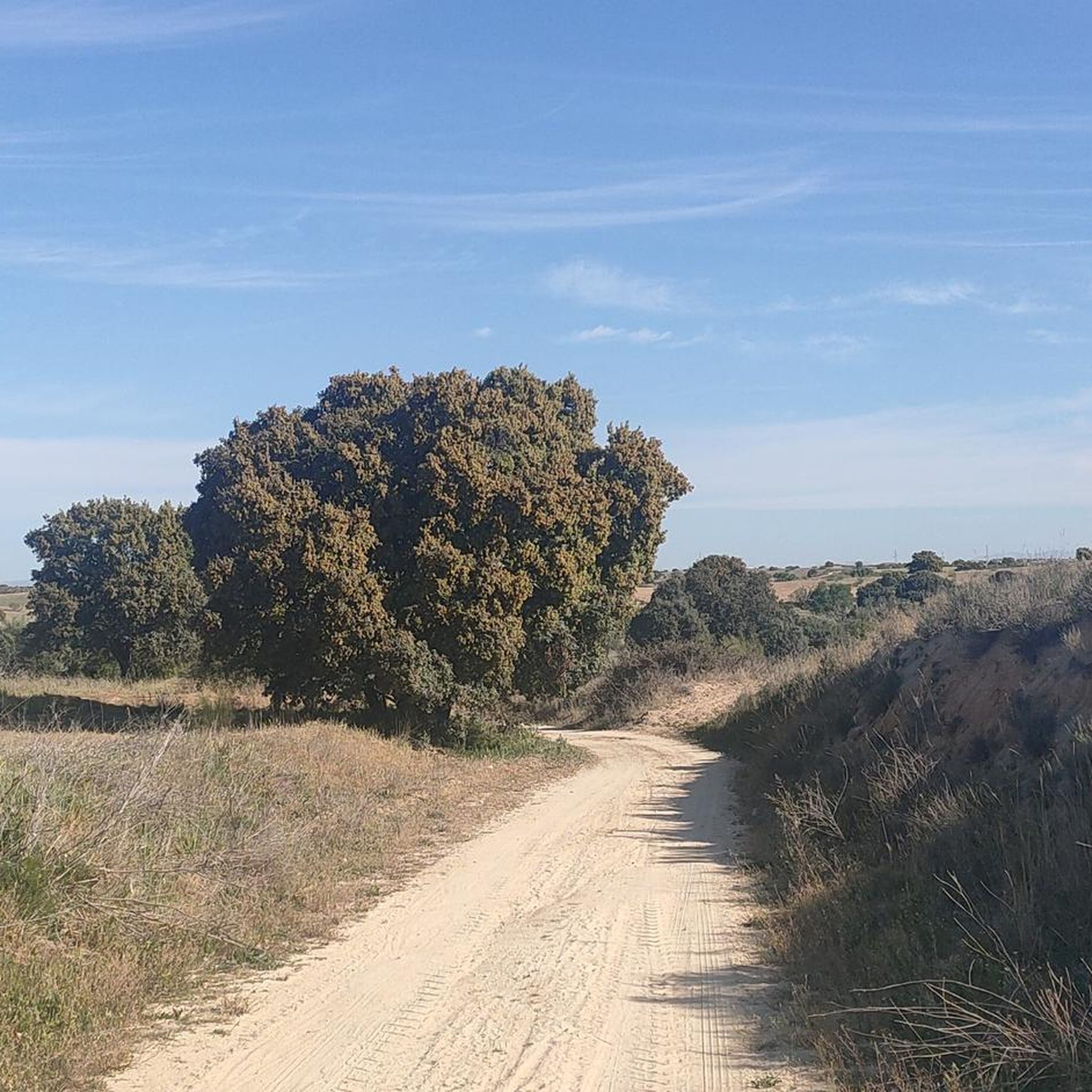
Hiking around El Viso De San Juan offers diverse natural and cultural landscapes in the northern part of Toledo province. The region features rolling terrain with extensive agricultural fields, including cereal crops, vineyards, and olive groves. The Guadarrama River is a central natural feature, boasting well-preserved riparian forests with various tree species. Additionally, the area includes the Arroyo del Riachuelo stream and the striking geological formations of the Cárcavas del Río Guadarrama.
Best hiking trails around El Viso De San Juan
- The most popular hiking route is Dehesa de Valdeniebla — circular desde Valmojado, a 6.9 miles (11.1 km) moderate trail that takes about 2 hours 55 minutes to complete, featuring varied landscapes.
- Another top favourite among local hikers is Monte de Batres from Serranillos del Valle — circular by Bartes, a moderate 10.9 miles (17.5 km) path. This route offers views of the Monte de Batres area and takes approximately 4 hours 42 minutes.
- Local hikers also love the Mortirolo Climb of Batres – Batres Spring loop from Batres, a 8.7 miles (14.1 km) trail leading through the Batres area, often completed in about 3 hours 47 minutes.
- Hiking around El Viso De San Juan is defined by rolling agricultural fields, dense riparian forests along the Guadarrama River, and unique geological gullies. The network offers options for different ability levels, from easy strolls to moderate excursions.
- The routes in El Viso De San Juan are highly rated by the komoot community with an average score of 4.7 stars from over 5 reviews. More than 80 hikers have used komoot to explore El Viso De San Juan's varied terrain.
Last updated: June 24, 2026
17.5km
04:42
210m
210m
Moderate hike. Good fitness required. Mostly accessible paths. Sure-footedness required.
3
hikers
11.1km
02:56
100m
100m
Moderate hike. Good fitness required. Easily-accessible paths. Suitable for all skill levels.

Sign up for free
4.5
(2)
7
hikers
14.1km
03:48
190m
190m
Moderate hike. Good fitness required. Easily-accessible paths. Suitable for all skill levels.
8
hikers
5.60km
01:33
100m
100m
Easy hike. Great for any fitness level. Easily-accessible paths. Suitable for all skill levels.
7
hikers
Moderate hike. Good fitness required. Easily-accessible paths. Suitable for all skill levels.
Get access to more routes and recommendations from other explorers.
Sign up for free
Already have an account?
Our route recommendations are based on thousands of hikes, rides, and runs completed by other people on komoot.
Start today with a free account
Your next adventure awaits.
Login or Signup

Tips from the Community

Going up the main road is a fairly wide track with a good surface
0
1

Monte de Batres is a small hill of 645 meters. Located in the southwest of Madrid, between the towns of Bartes and Serranillos del Valle, it has a magnificent pasture landscape and is a good option for a walk among holm oaks.
1
0

Valmojado, as its name already suggests, has a close relationship with water and the underground trips it makes through the municipality. These trips are manifested in the Cinco Fuentes (Quique Fontes) that are located at the main access points to the town. Each of these fountains has its own name: Fuente del Caño Viejo or Fresco, Fuente del Indiano, Fuente de la Teja, Caño de Méntrida and Fuente de la Salud.
0
1
The Dehesa de Valdeniebla is a beautiful place, dominated by the gall oak. Since 1747 it was the Valmojado boyal pasture. There is a marked hiking route, along the way we also find a viewpoint and a fountain. Always following the signs you can enjoy the walk through this treasure of great ecological value.
2
0
The hermitage of San Isidro is the starting point for a walk through the Valdeniebla pasture. You can leave your car right next to it, as it has a space to leave your vehicle. It also has a picnic area. The hermitage was built in 2004.
1
0

Batres Castle is located on the right bank of the Guadarrama River in a beautiful spot that combines the riverside grove of poplars and plane trees with the surrounding countryside. It was built between the 15th and 16th centuries and has historically been the palatial residence of the lords of Batres. Curiously, one of those gentlemen was the famous poet Garcilaso de la Vega. Today it is private property and houses the Batres gardening school. On its side runs a beautiful path ideal for hikers and cyclists.
0
0


I loved the climb, Induráin style 👍, the views from the top are beautiful. On the descent, if more than one cyclist is riding together, I recommend that you leave space as there are certain dangerous points that are good for the adrenaline.
0
0
Frequently Asked Questions
How many hiking trails are available in El Viso De San Juan?
El Viso De San Juan offers a diverse network of nearly 30 hiking trails, catering to various preferences and skill levels. You'll find a good mix of easy strolls and more moderate excursions through the region's unique landscapes.
What are the typical difficulty levels for hiking trails in this area?
The hiking trails around El Viso De San Juan are predominantly easy to moderate. There are 11 easy routes perfect for a relaxed walk, and 17 moderate trails for those seeking a bit more challenge. There are no difficult trails listed, making it accessible for most hikers.
What natural features can I expect to see while hiking in El Viso De San Juan?
You'll encounter a rich variety of natural features. The region is known for its rolling agricultural fields, including cereal crops, vineyards, and olive groves. A central highlight is the Guadarrama River, with its well-preserved riparian forests, and the striking geological formations of the Cárcavas del Río Guadarrama (river gullies). The Arroyo del Riachuelo also features a unique forested area along its banks.
Are there any historical landmarks or attractions to explore near the trails?
Yes, beyond the natural beauty, the area boasts several historical points of interest. You can visit the Church of Santa María Magdalena, the Hermitage of San Francisco de Asís, and the Old Town Hall within El Viso de San Juan itself. Nearby, you might also explore the Casarrubios del Monte Historical Center or the Convent of Santa María de la Cruz.
What is the best time of year to go hiking in El Viso De San Juan?
The most enjoyable times for hiking in El Viso De San Juan are spring and autumn. During these seasons, temperatures are milder, making for more comfortable conditions to explore the diverse landscapes and observe the vibrant natural environment.
Are there any circular hiking routes available?
Yes, many of the trails in the region are circular, offering convenient starting and ending points. For instance, the Dehesa de Valdeniebla — circular desde Valmojado is a popular moderate circular route that takes you through varied landscapes.
Can I spot any wildlife, especially birds, while hiking?
Absolutely! El Viso De San Juan is a fantastic destination for birdwatching. The agricultural fields are vital habitats for steppe birds like the great bustard and Montagu's harrier. Along the Guadarrama River and Arroyo del Riachuelo, you can observe riparian species such as the lesser spotted woodpecker, penduline tit, and various raptors like the red kite and western marsh harrier. Around 200 bird species have been identified in the area.
Are the hiking trails in El Viso De San Juan suitable for families?
Yes, with a good selection of easy and moderate trails, many routes are suitable for families. The varied landscapes, from riparian forests to open fields, offer engaging environments for children to explore. Consider shorter, easy routes for younger family members.
What do other hikers say about the trails in El Viso De San Juan?
The komoot community highly rates the hiking experience in El Viso De San Juan, with an average score of 4.7 stars from over 7 reviews. Hikers often praise the diverse terrain, from the tranquil riverbanks to the expansive agricultural fields, and the well-maintained paths that make exploration enjoyable.
Is there parking available at the trailheads?
While specific trailhead parking details vary by route, many hiking routes in El Viso De San Juan are designed to be accessible, often starting from or near urban centers or designated areas where parking is available. It's advisable to check individual route descriptions for precise parking information.
Are there any permits required for hiking in El Viso De San Juan?
Generally, no specific permits are required for hiking on the established trails in El Viso De San Juan. The routes are open for public enjoyment, allowing you to freely explore the natural and cultural landscapes of the region.
Where can I find refreshments or accommodation near the hiking areas?
El Viso de San Juan, as a municipality, offers local amenities including cafes, restaurants, and accommodation options. These can be found within the town center, providing convenient places to refuel or stay overnight after your hikes.
Most popular routes around El Viso De San Juan
Most popular attractions around El Viso De San Juan

Get inspired with the komoot mobile app


Explore more
Browse the best Hikes in other regions.
