The best MTB trails around Cabezarados
24
riders
2
rides
Mountain biking around Cabezarados offers diverse terrain shaped by ancient volcanic activity in the Campo de Calatrava region. The landscape features eroded rocks, undulating roads, and distinct volcanic formations, providing varied gradients and technical sections. Surrounding sierras like Sierra del Castellar and Sierra Gorda present demanding ascents and descents. Extensive holm oak forests contribute to scenic routes and natural shaded areas.
Best mountain bike trails around Cabezarados
- The most popular mountain bike trail is Villar del Pozo – Ballesteros de…
Last updated: May 14, 2026
6
riders
62.7km
04:52
640m
640m
Moderate mountain bike ride. Good fitness required. Advanced riding skills necessary.
5
riders
Hard mountain bike ride. Very good fitness required. Suitable for all skill levels.

Sign up for free
3
riders
18.9km
01:28
40m
40m
Easy mountain bike ride. Great for any fitness level. Suitable for all skill levels.
5
riders
Hard mountain bike ride. Very good fitness required. Suitable for all skill levels.
2
riders
Easy mountain bike ride. Great for any fitness level. Suitable for all skill levels.
Our route recommendations are based on thousands of hikes, rides, and runs completed by other people on komoot.
Start today with a free account
Your next adventure awaits.
Login or Signup
Popular around Cabezarados
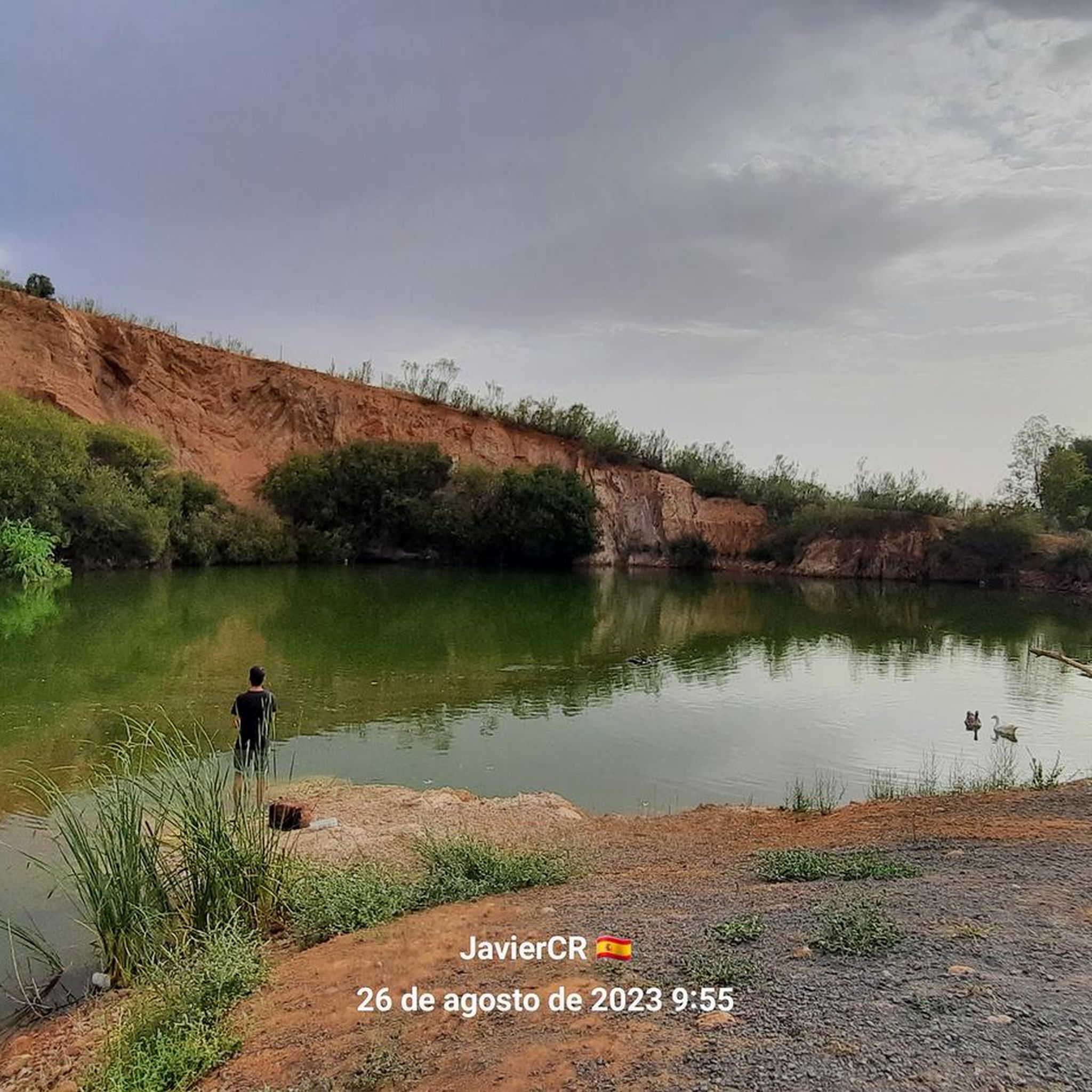
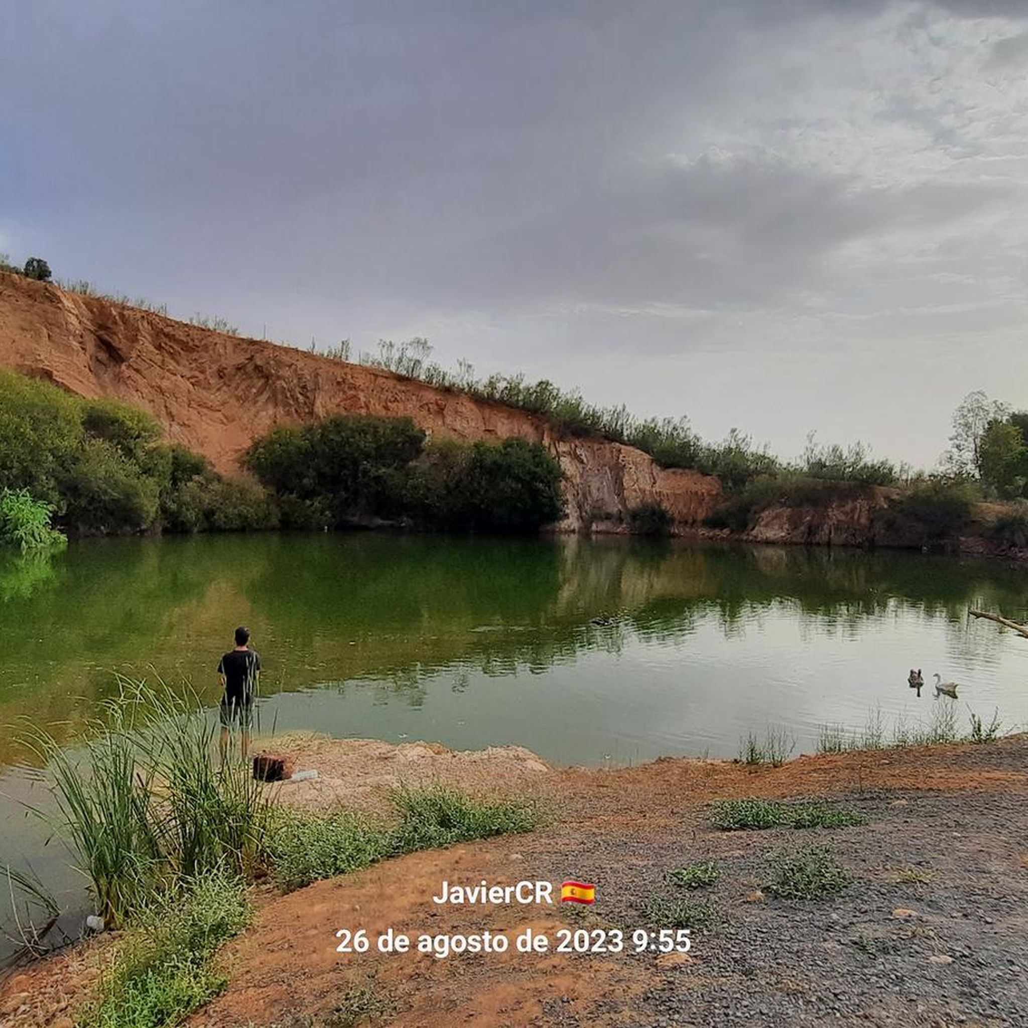
Tips from the Community

The stone crossing in the Bullaque River next to the Los Ejidos Recreational Area, in Luciana (Ciudad Real), is a natural crossing that allows you to ford the river when its flow is low, especially in summer.
10
0
Commander's Mill – Luciana Also known as the Flour Mill or Count's Mill, it is one of the most representative historic watermills on the middle section of the Guadiana River. The mill was abandoned in the 1960s, after the last miller (Eugenio Calvilo) left. Since then, it has been in ruins. The mill is located in one of the richest natural areas of the Guadiana. Among the surrounding flora and fauna are:
8
0

The Guadiana Nature Trail as it passes through Luciana. Several routes from here lead to Piedranuena, Ivy, El Chiqueto, and Los Pozuelos de Ctrva.
2
0
We cross Luciana towards the Bullaque River. Continuing in this direction, we'll come out onto the Alcolea-Los Pozuelos de Calatrava highway. Enjoy a swim.
2
0
Great walk under the bridge that runs along the ivy trail to Luciana. A 100% recommended bike route, here on the bridge with water inlets for a dip.
2
0
Fountain on Pozo Dulce Street in Villamayor de Calatrava.
13
0
Detour to the Hermitage of the Holy Cross. Located southwest of the town, nestled at the summit of the mountain range that gives it its name, it is 3 km from Piedrabuena and at an altitude of 791 m. From this viewpoint, you can see the town and surrounding areas, including the Piedrabuena volcano. An important monument here is the Hermitage of the Sierra de la Cruz, built in the late 19th century. Every May 3rd, the Piedrabuena pilgrimage is held on this hill.
15
0
The Church of Our Lady of Consolation in Villar del Pozo is a simple rectangular church, whitewashed in blue and white, similar to other public buildings in the town. It was built in the late 1960s and has a bell gable and two bells.
21
0
Frequently Asked Questions
What kind of terrain can I expect on mountain bike trails around Cabezarados?
The terrain around Cabezarados is shaped by ancient volcanic activity, featuring distinctive landscapes with eroded rocks and undulating roads. You'll encounter varied gradients and technical sections, especially in the surrounding sierras like Sierra del Castellar and Sierra Gorda, which offer both demanding ascents and thrilling descents. Extensive holm oak forests also provide scenic routes and natural shade.
Are there mountain bike trails suitable for beginners or families?
Yes, there are options for less experienced riders. For an easier ride, consider the Picnic and recreation area – Villamayor de Calatrava loop from Villamayor de Calatrava. This 11.7-mile (18.9 km) path offers a relaxed ride through the natural surroundings.
What are some challenging mountain bike routes in the area?
For experienced mountain bikers seeking a challenge, the Villar del Pozo – Ballesteros de Calatrava loop from Villamayor de Calatrava is a difficult 40.5-mile (65.2 km) trail that navigates the region's varied volcanic terrain. Another demanding option is the Almodóvar del Campo – Remains of the old castle loop from Villamayor de Calatrava, a difficult 67.3-mile (108.3 km) route with significant elevation changes.
Are there any circular mountain bike routes?
Many routes in the area are designed as loops. For example, the Villamayor de Calatrava – Almodóvar del Campo loop from Villamayor de Calatrava is a 26.7-mile (43.0 km) trail that takes you through holm oak forests. Another option is the Mountainbike loop from Villamayor de Calatrava, an easy 11.7-mile (18.9 km) route.
What natural features or wildlife might I encounter while mountain biking?
The region is rich in biodiversity. You might spot griffon vultures, eagles (including the imperial eagle), and occasionally even the Iberian lynx. The landscape also features extensive holm oak forests and seasonal lagoons formed by volcanic activity, adding to the scenic beauty and ecological interest.
What points of interest or attractions can I see near the mountain bike trails?
While riding, you can explore several interesting spots. Consider visiting the historic El Martinete or the Jurisdictional Pillory of Cabezarados. There's also a convenient Picnic area for a break.
What is the best time of year for mountain biking in Cabezarados?
The Campo de Calatrava region, including Cabezarados, is generally suitable for outdoor activities like mountain biking for much of the year. The holm oak forests provide natural shaded areas, which can be particularly appealing during warmer months. Spring and autumn typically offer pleasant temperatures for riding.
Is parking available near the trailheads in Cabezarados?
While specific parking areas for each trailhead are not detailed, Cabezarados and surrounding towns like Villamayor de Calatrava generally offer public parking options. It's advisable to check local signage upon arrival for the most convenient spots.
Can I bring my dog on the mountain bike trails?
While many natural areas in Spain are dog-friendly, it's always best to keep your dog on a leash, especially given the presence of wildlife like the Iberian lynx and various bird species. Be mindful of local regulations and other trail users.
What do other mountain bikers enjoy about the trails in Cabezarados?
More than 16 mountain bikers have used komoot to explore Cabezarados's varied terrain. Riders often appreciate the unique volcanic landscapes, the diverse natural features, and the mix of challenging and more relaxed routes available.
Are there any viewpoints along the mountain bike routes?
The volcanic terrain and surrounding sierras naturally offer elevated positions. While specific named viewpoints are not detailed for these routes, the varied gradients and mountainous sections often provide panoramic views of the Campo de Calatrava region and its distinctive landscapes.
Most popular routes around Cabezarados
Most popular attractions around Cabezarados

Get inspired with the komoot mobile app


Explore more
Browse the best MTB trails in other regions.
