The best running trails around Hinojosa De San Vicente
74
runners
11
runs
Jogging around Hinojosa De San Vicente offers a variety of routes through a landscape characterized by hills, trails, and natural areas. The region features varied terrain, including ascents and descents, providing opportunities for different levels of running. These routes often traverse natural paths and offer views of the surrounding countryside.
Best jogging routes around Hinojosa De San Vicente
- The most popular jogging route is PR-TO 21 Cabeza del Oso y Pelados Trail, a 6.6 miles (10.6 km) trail that takes 1 hour 37 minutes to complete. This challenging route features significant elevation gain through natural terrain.
- Another top favourite among local runners is San Vicente Hill (1320m) – Puerto del Piélago loop from Navamorcuende, a difficult 11.8 miles (19.0 km) path. This route includes substantial climbs and offers expansive views from higher elevations.
- Local runners also love the Santa María de la Nava loop from Navamorcuende, a 6.0 miles (9.7 km) trail leading through varied landscapes, often completed in about 1 hour 17 minutes.
- Jogging around Hinojosa De San Vicente is defined by hills, natural trails, and scenic loops. The network offers options for both moderate and challenging running experiences.
- The guide includes highly-rated routes that showcase the best of the region's landscape. More than 70 runners have used komoot to explore Hinojosa De San Vicente's varied terrain.
Last updated: July 2, 2026
2
runners
10.6km
01:37
580m
580m
Hard run. Very good fitness required. Mostly accessible paths. Some sure footedness required.
23
runners
19.0km
02:46
870m
870m
Hard run. Very good fitness required. Mostly paved surfaces. Suitable for all skill levels.

Sign up for free
13
runners
9.65km
01:17
290m
290m
Moderate run. Good fitness required. Mostly paved surfaces. Suitable for all skill levels.
5
runners
14.9km
02:12
600m
600m
Hard run. Very good fitness required. Mostly paved surfaces. Suitable for all skill levels.
5
runners
Moderate run. Good fitness required. Mostly paved surfaces. Suitable for all skill levels.
Get access to more routes and recommendations from other explorers.
Sign up for free
Already have an account?
Our route recommendations are based on thousands of hikes, rides, and runs completed by other people on komoot.
Start today with a free account
Your next adventure awaits.
Login or Signup
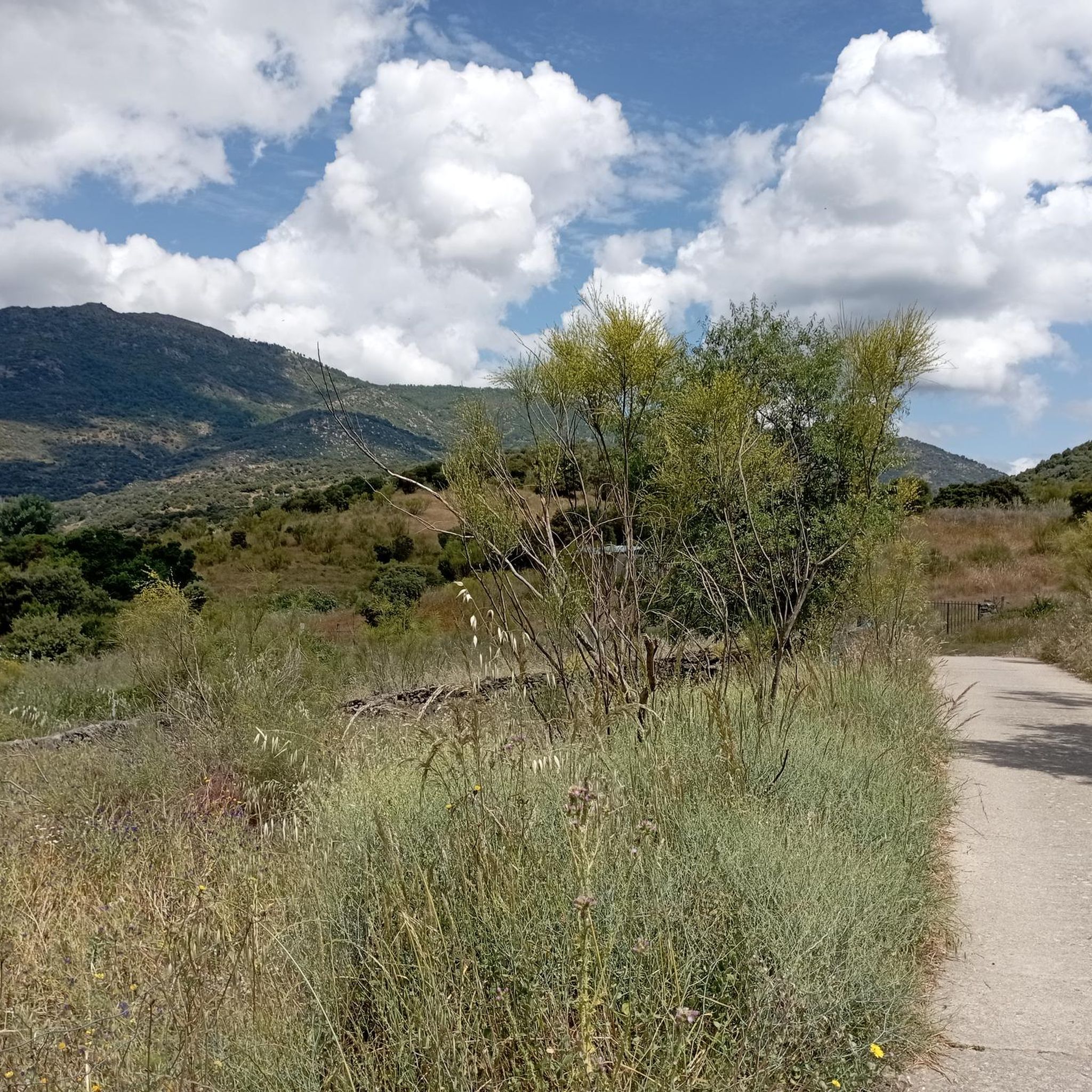
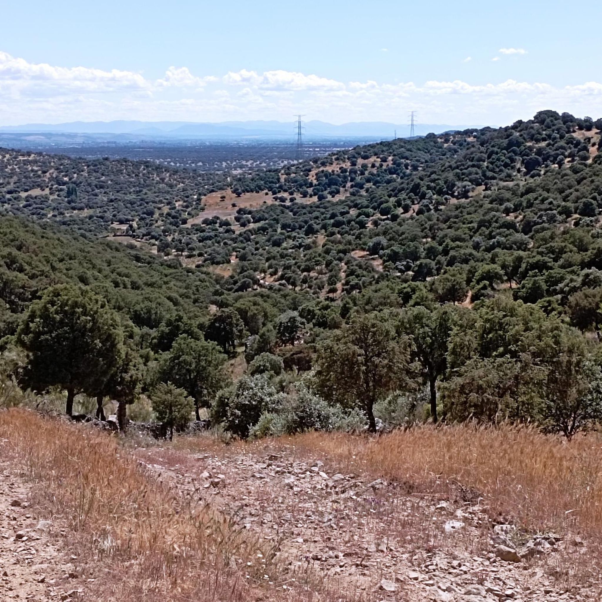
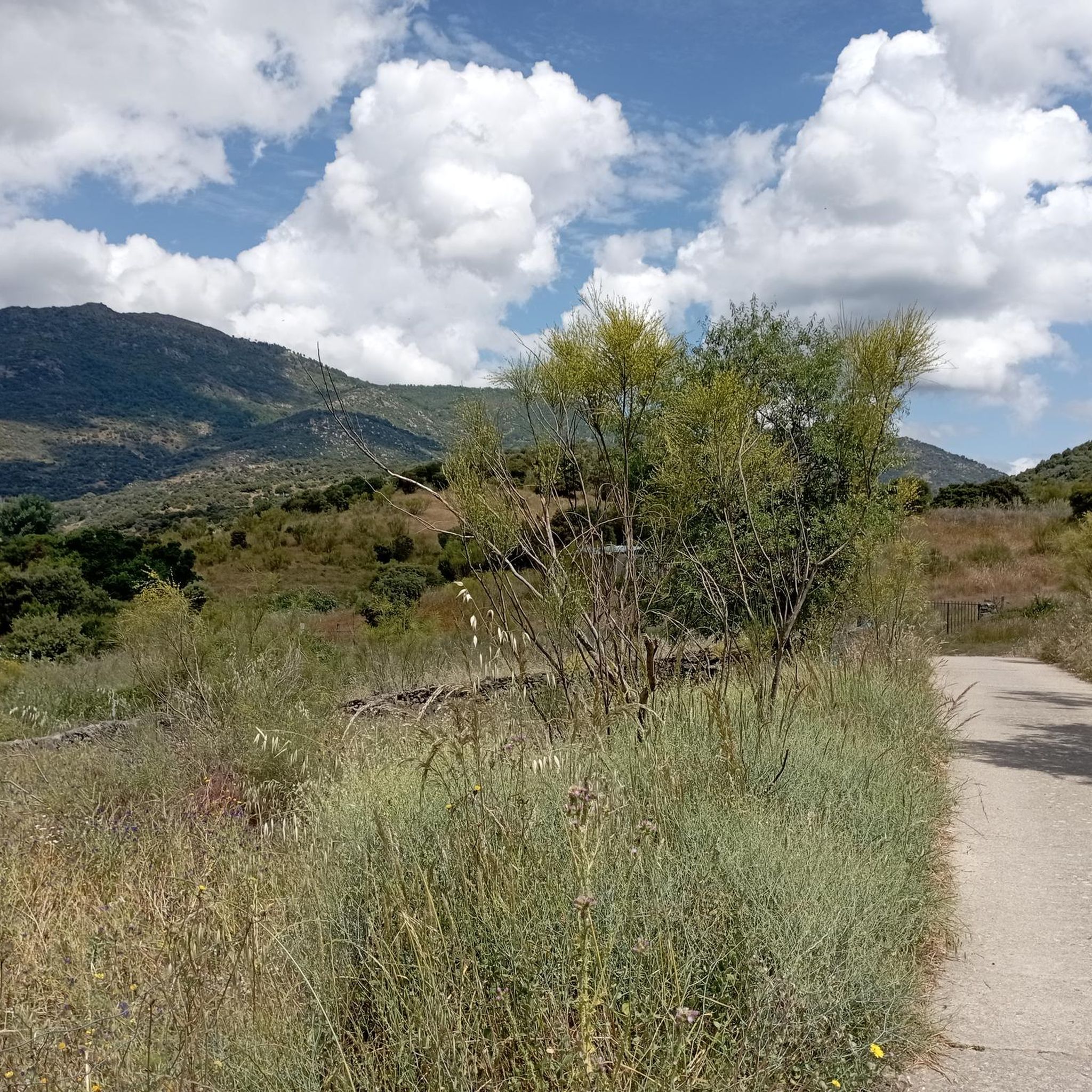
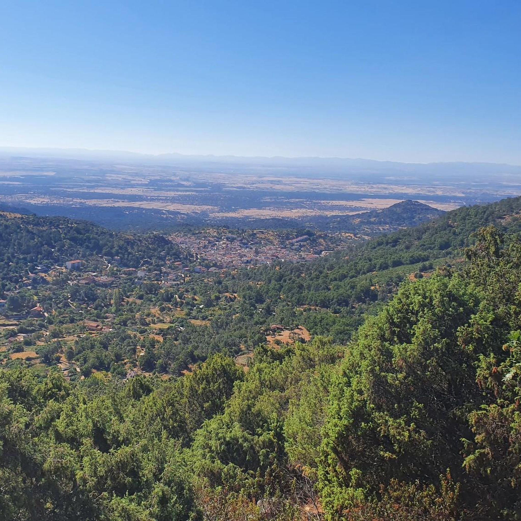

Tips from the Community

The port of Piélago is located at an altitude of 1,222 meters and is a classic of Toledo cycling. It is located in Real de San Vicente and is a pass between the north and south slopes of the Sierra de San Vicente. Towards the south face there are good views of the Toledo steppe.
0
0

old chapel ruins, from there a view of the castle ruins and an imposing view
1
0


The top of Cruces at 1373 meters above sea level. It is one of the most impressive panoramic points in the Navamorcuende region. It offers beautiful views in all directions, so I recommend you take some time and enjoy the beautiful views while you recharge your batteries after the climb.
1
0
Declared a Site of Cultural Interest, the church in the village of Navamorcuende is a building well worth a visit. Its Renaissance style stands out for its large buttresses, built in the 16th century, and the stone used takes on a distinctive hue on rainy days and in autumn.
2
0
The summit of Cruces at 1,373 meters above sea level is one of the most impressive panoramic points in the Navamorcuende region. It offers beautiful views in all directions so I recommend taking some time and enjoying the beautiful views while having a picnic up here to recharge your batteries.
1
0
Located at 1,320 meters above sea level, the top of Cerro San Vicente offers wonderful views of this area of Toledo and you can even see the Sierra de Gredos park and Alto Tiétar.
3
0

The two trails that leave the Puerto de San Vicente towards the top of the mountain lead to the landmark of the San Vicente peak (1,321 m). On one side of the summit, with extraordinary views of the Sierra de Gredos and the high Tiétar, are the ruins of a hermitage built in the old Cueva de los Mártires, where three brothers lived fleeing from the Romans. On a hill to the south are the remains of an old fortress of Umayyad origin that was in the hands of the Temple. The hill is the Mons Veneris of the Romans, the Mount of Venus where they worshiped the goddess of love and beauty. And it was also a place of worship for the Vetton peoples who lived in the mountains long before, without a doubt a very special summit. The trail returns to the port of San Vicente through the same site and descends towards El Real de San Vicente along the PR-TO 21, once again crossing the monumental chestnut grove of La Tejea.
1
0
Frequently Asked Questions
How many running routes are available in Hinojosa De San Vicente?
There are 11 dedicated running routes around Hinojosa De San Vicente, offering a variety of experiences for different skill levels.
Are there any easy jogging routes for beginners in Hinojosa De San Vicente?
The routes in Hinojosa De San Vicente are generally characterized by hills and varied terrain. While there are no routes classified as 'easy', you can find several moderate options, such as the Santa María de la Nava loop from Navamorcuende, which covers 9.7 km with moderate elevation changes.
What kind of terrain can I expect on the running trails in Hinojosa De San Vicente?
Jogging routes in Hinojosa De San Vicente primarily feature natural paths, including ascents and descents through hills and natural areas. The landscape offers varied terrain, providing both moderate and challenging running experiences.
Are there any circular running routes in the area?
Yes, many of the running routes around Hinojosa De San Vicente are circular. For example, the Puerto del Piélago – San Vicente Hill (1320m) loop from Campamento El Piélago is a moderate 8.4 km loop, and the Running loop from Navamorcuende offers a more challenging 14.9 km circular path.
What are some challenging running trails in Hinojosa De San Vicente?
For those seeking a challenge, routes like the PR-TO 21 Cabeza del Oso y Pelados Trail (10.6 km with significant elevation gain) or the San Vicente Hill (1320m) – Puerto del Piélago loop from Navamorcuende (19.0 km with substantial climbs) offer demanding experiences.
What can I see along the jogging routes in Hinojosa De San Vicente?
Many routes offer scenic views and pass by notable natural features. You might encounter landmarks such as San Vicente Hill (1320m), El Piélago Pass, and the distinctive Dehesa Landscape. Some routes also pass near cultural points like the Rollo de Justicia of Castillo de Bayuela.
Are there any viewpoints on the running trails?
Given the hilly nature of the region, many running trails offer expansive views from higher elevations. Routes that ascend to San Vicente Hill (1320m), for instance, provide panoramic vistas of the surrounding countryside.
What do other runners enjoy most about the trails in Hinojosa De San Vicente?
Over 70 runners have explored the trails around Hinojosa De San Vicente using komoot. They often praise the varied terrain, the natural beauty of the landscape, and the opportunities for both moderate and challenging running experiences.
Is Hinojosa De San Vicente suitable for running in winter?
While specific winter conditions can vary, the region's natural trails are generally accessible. It's always advisable to check local weather forecasts and trail conditions before heading out, and to wear appropriate gear for colder temperatures and potentially wet or icy surfaces.
What should I wear for jogging in Hinojosa De San Vicente?
Given the varied terrain with ascents and descents, comfortable and supportive running shoes with good grip are essential. Layered clothing is recommended to adapt to changing temperatures, especially when running through hills and open areas. Depending on the season, consider sun protection or waterproof outer layers.
Are there any cafes or places to refuel near the running routes?
While the routes themselves traverse natural areas, the nearby towns and villages, such as Navamorcuende or Hinojosa De San Vicente itself, typically offer local establishments where you can find refreshments and food after your run.
Most popular routes around Hinojosa De San Vicente
Most popular attractions around Hinojosa De San Vicente

Get inspired with the komoot mobile app


Explore more
Browse the best Running Trails & Routes in other regions.
