The best road cycling routes around Hinojosa De San Vicente
5.0
(2)
380
riders
13
rides
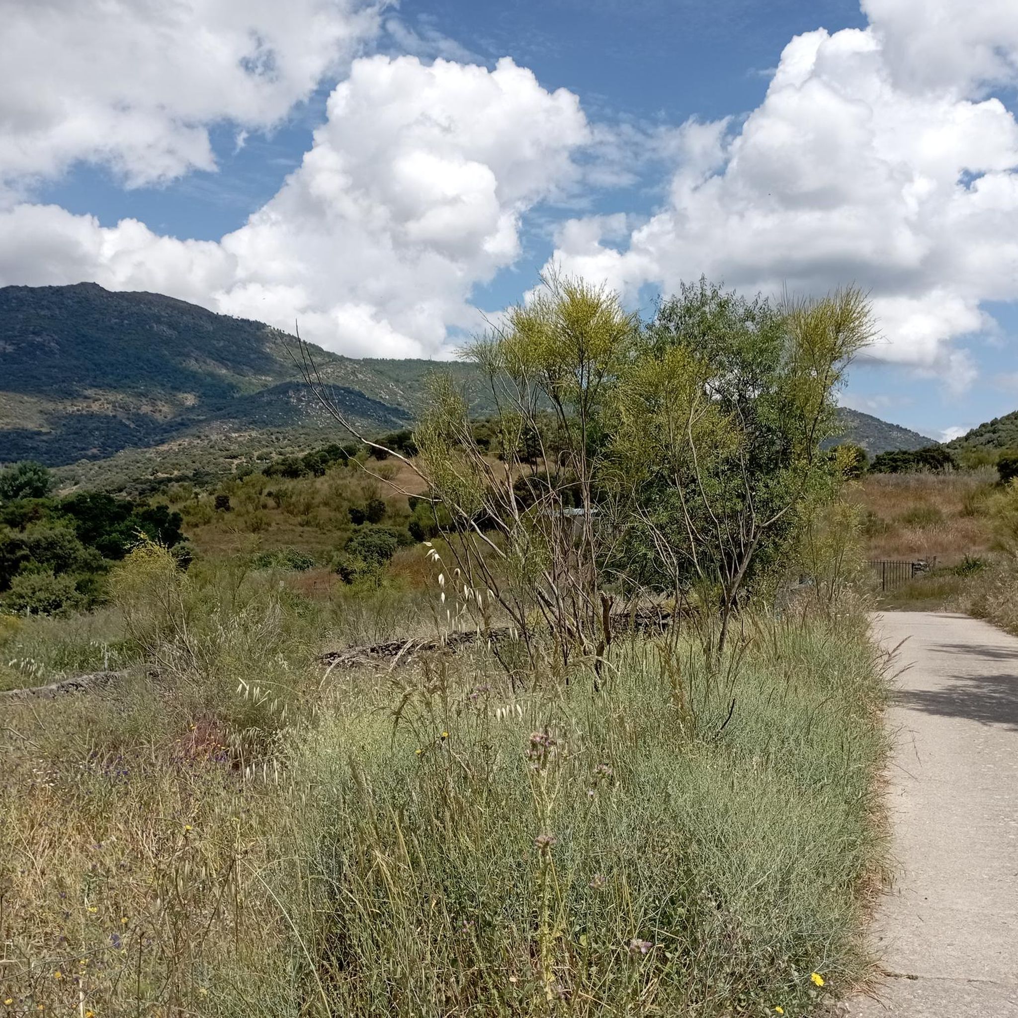
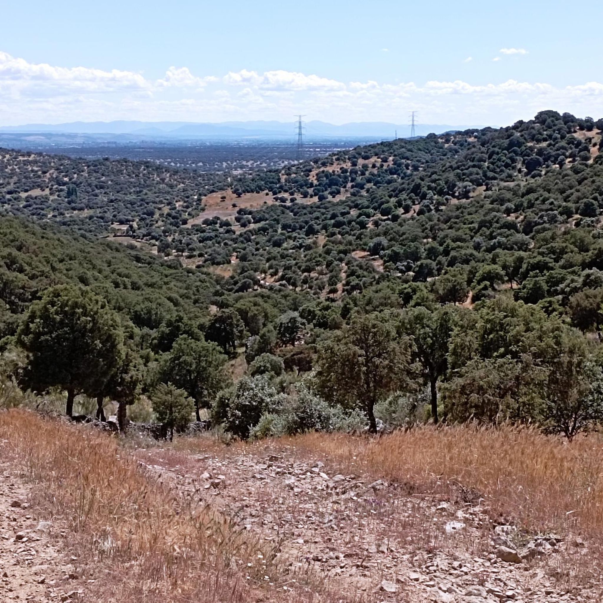
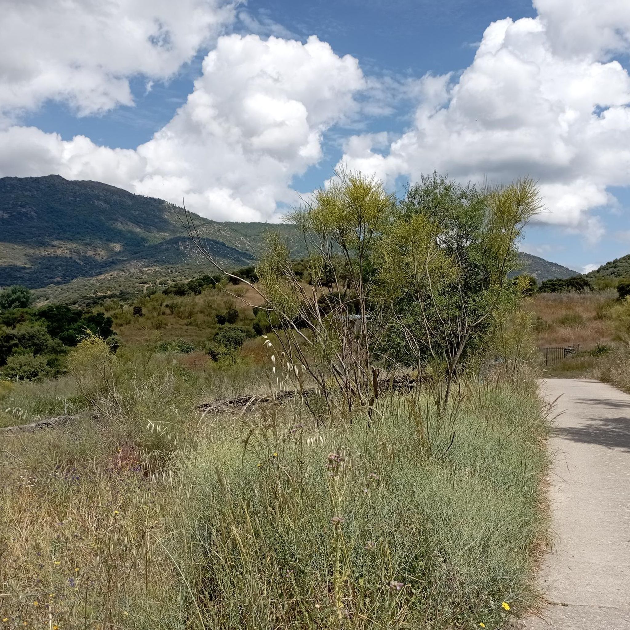
Road cycling around Hinojosa De San Vicente offers diverse landscapes within the Sierra de San Vicente mountain range in the province of Toledo, Spain. The region features a hilly terrain with challenging climbs and scenic routes, characterized by varied flora including olive trees, holm oaks, and junipers. Roads in the area are generally well-maintained with low traffic, making them suitable for road cyclists. The "Puerto de San Vicente" is a notable mountain pass in the province, providing demanding ascents.
Best…
Last updated: July 2, 2026
53
riders
74.2km
03:39
1,150m
1,150m
Hard road ride. Very good fitness required. Mostly well-paved surfaces and easy to ride.
22
riders
48.3km
02:46
1,130m
1,130m
Hard road ride. Very good fitness required. Mostly well-paved surfaces and easy to ride.

Sign up for free
5.0
(1)
20
riders
Moderate road ride. Good fitness required. Some segments of this route may be unpaved and difficult to ride.
17
riders
91.8km
04:59
1,860m
1,860m
Hard road ride. Very good fitness required. Mostly well-paved surfaces and easy to ride.
12
riders
102km
05:32
2,110m
2,110m
Hard road ride. Very good fitness required. Mostly well-paved surfaces and easy to ride.
Get access to more routes and recommendations from other explorers.
Sign up for free
Already have an account?
Our route recommendations are based on thousands of hikes, rides, and runs completed by other people on komoot.
Start today with a free account
Your next adventure awaits.
Login or Signup

Tips from the Community

The Mijares Pass is one of the great mountain passes in the Sierra de Gredos, highly prized by cyclists for its length, elevation gain, and scenic beauty. Maximum gradient: 11% (on short ramps before Mijares). There are several steep sections in the villages and near the Horcajo area, as well as another one 2 km from the summit.
1
0

You cool down very quickly up here, especially when it's windy.
7
0

Highest point 1580 on this route, there is a large parking lot to enjoy the view.
16
0

El Real de San Vicente is located at the foot of the mountain range from which it takes its name, in a prime setting for outdoor activities. Its location is associated with military settlements in the 11th and 12th centuries. Remains of its millennia-long occupation are preserved in the village.
0
0
Buenaventura is a small town in Toledo in the Tiétar Valley with magnificent views of the Gredos Mountains. It's nestled in the middle of a pastureland and enjoys an agricultural atmosphere. Its location on the Viriato Trail makes it an ideal stop for refreshments.
0
0
Sotillo de las Palomas is a small rural enclave in the middle of the pastureland at the foot of the San Vicente mountain range. It was established as an independent town in the 17th century. The same century as the Church of the Immaculate Conception, which is adorned inside with a Baroque altarpiece.
0
0

A legendary mountain pass in the Vuelta a España and in the Gredos mountain range, along with Serranillos, Peña Negra, Pedro Bernardo, and Puerto del Pico. It's a namesake of Serranillos, as it connects the same valleys, running parallel. Like Serranillo, it's a pass with a gentle, continuous gradient and uneven, bumpy asphalt, which is typical of this area. A pass of thermal contrasts: in winter, you're freezing cold, and in summer, you can die of heat.
0
0
The place name Pelahustán seems to derive from the activity related to looms and the sale of linen that the population had in the past. In documents from the 18th century, it appears as Pelafustan. According to the dictionary of the Royal Spanish Academy, the concept of pelafustán is equated with that of pelagatos, which in turn means “insignificant or mediocre person, without social or economic position.” The town also had several water mills worked by Salamancan teleworkers. Pelahustán is located at an altitude of 673 meters above sea level and borders the terms of Higuera de las Dueñas in the province of Ávila, Nombela, Nuño Gómez, Garciotum and El Real de San Vicente in the province of Toledo, and Ceniientos in the Community of Madrid 😊
2
0
Frequently Asked Questions
How many road cycling routes are available around Hinojosa de San Vicente?
There are over 10 road cycling routes available around Hinojosa de San Vicente, offering a variety of experiences for different skill levels. The komoot community has mapped 13 routes in total, ranging from easy to difficult.
What kind of terrain can I expect when road cycling around Hinojosa de San Vicente?
You can expect diverse and often challenging terrain. The region is nestled within the Sierra de San Vicente mountain range, featuring hilly landscapes with significant elevation changes. Roads are generally well-maintained and often have low traffic, making them ideal for road cycling. You'll encounter climbs like the notable "Puerto de San Vicente" and enjoy scenic views of diverse flora, including olive trees, holm oaks, and junipers.
Are there any beginner-friendly road cycling routes in Hinojosa de San Vicente?
Yes, while many routes are moderate to difficult, there is at least one easy road cycling route available. These routes typically feature less demanding climbs and shorter distances, allowing beginners to enjoy the scenic beauty of the area at a comfortable pace.
What are some challenging routes for experienced road cyclists in the area?
Experienced road cyclists will find plenty of challenges. Routes like the El Piélago Pass – Puerto del Piélago loop from Garciotum, covering 64.2 km with over 1500 meters of elevation gain, offer demanding ascents and rewarding descents through the mountainous landscape. Another difficult option is the El Piélago Pass – Hinojosa de San Vicente loop from Garciotum, a 75.5 km trail with significant elevation through the Sierra de San Vicente.
What natural landmarks or viewpoints can I see along the road cycling routes?
Road cycling routes in Hinojosa de San Vicente offer spectacular natural sights. You can experience the challenging El Piélago Pass, or climb to the San Vicente Hill (1320m) for panoramic views of the Tagus Valley and Montes de Toledo. The region is also characterized by its beautiful Dehesa Landscape, with its distinctive forests of holm oaks and junipers.
Are there any historical or cultural attractions to explore near the cycling routes?
Yes, beyond the natural beauty, the area boasts several historical points of interest. You can find the remains of the Castillo del Pico de San Vicente, a castle from the Muslim era, or visit the 16th-century Iglesia de la Concepción in late Gothic style. The town itself features charming traditional architecture. While not directly on every route, these attractions are part of the rich cultural tapestry of the region.
Are there any circular road cycling routes available?
Yes, many of the road cycling routes around Hinojosa de San Vicente are designed as loops, allowing you to start and end in the same location. Examples include the Main Square of Pelahustán – El Real de San Vicente loop from El Real de San Vicente, a moderate 42.7 km route, and the more challenging Mijares – Puerto de Mijares loop from Marrupe, which spans over 90 km.
What do other road cyclists enjoy the most about road cycling in Hinojosa de San Vicente?
The area is highly rated by the komoot community, with an average score of 5.0 stars. Cyclists often praise the challenging climbs, the stunning panoramic views from peaks like El Piélago and Cerro de San Vicente, and the generally low-traffic, well-maintained roads that make for an enjoyable and immersive cycling experience through the Sierra de San Vicente.
Is Hinojosa de San Vicente suitable for family-friendly road cycling?
While the region is known for its challenging, hilly terrain, there are options for families. Look for the easier rated routes, which tend to be shorter and have less elevation gain. These can provide a pleasant experience for families looking to enjoy the scenic environment without overly strenuous climbs.
What is the best time of year for road cycling in Hinojosa de San Vicente?
The best time for road cycling in Hinojosa de San Vicente is typically during spring and autumn. These seasons offer milder temperatures, making the climbs more manageable and the overall experience more comfortable. Summers can be quite hot, especially in the middle of the day, while winters can bring colder temperatures to the mountain passes.
Are there options for parking when starting a road cycling route?
Yes, when planning your route, consider starting points in towns like Garciotum, Castillo de Bayuela, or El Real de San Vicente. These villages typically offer public parking areas where you can safely leave your vehicle before embarking on your ride. Always check local signage for specific parking regulations.
How long do road cycling routes typically take in this region?
The duration of road cycling routes varies significantly based on distance, elevation, and your personal pace. For example, a moderate route like the Main Square of Pelahustán – El Real de San Vicente loop from El Real de San Vicente (42.7 km) might take around 2 hours and 15 minutes. More difficult and longer routes, such as the El Piélago Pass – Hinojosa de San Vicente loop from Garciotum (75.5 km), can take nearly 4 hours to complete.
Most popular routes around Hinojosa De San Vicente
Most popular attractions around Hinojosa De San Vicente

Get inspired with the komoot mobile app


Explore more
Browse the best Road cycling routes in other regions.
