The best walks and hikes around Hinojosas De Calatrava
4.7
(56)
331
hikers
40
hikes
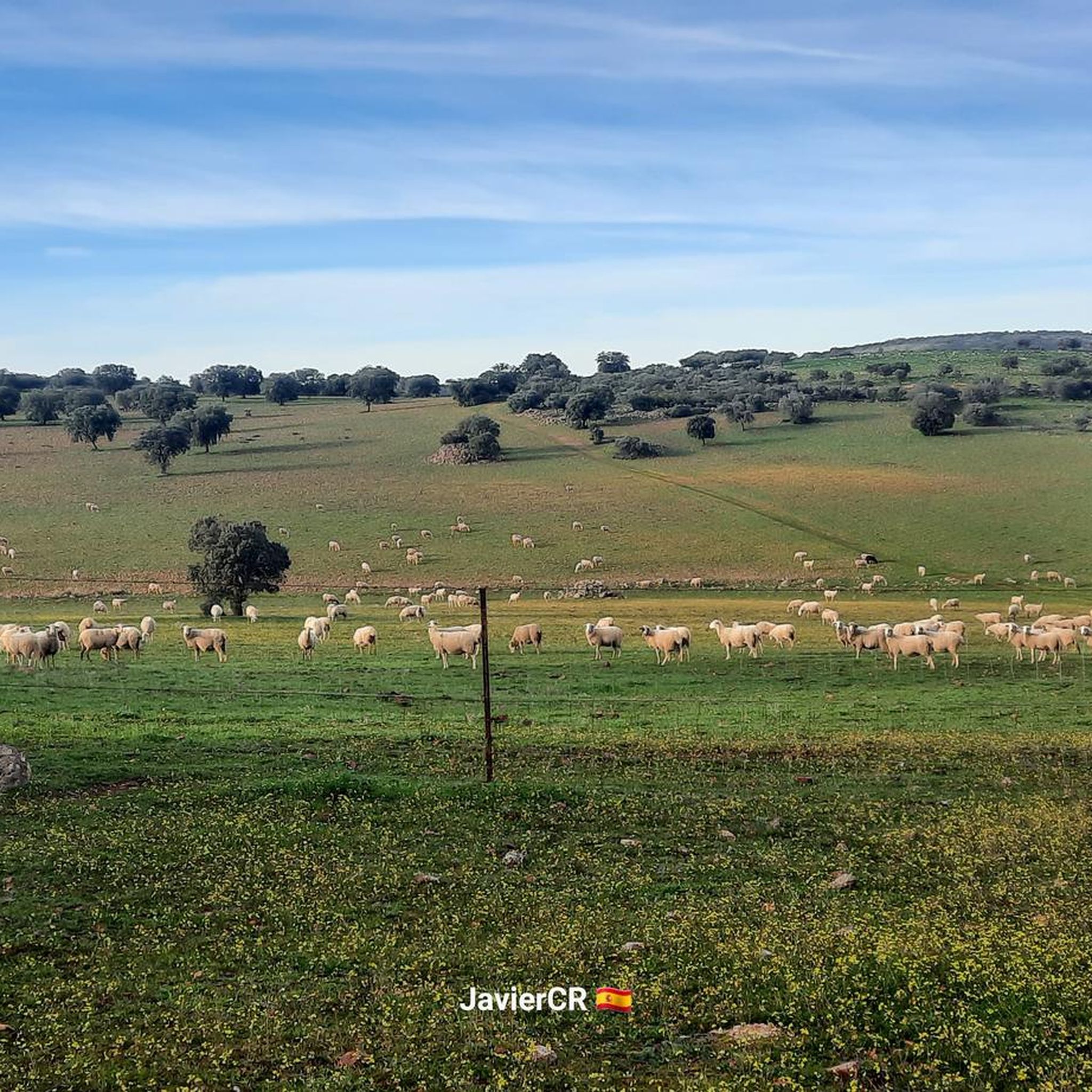
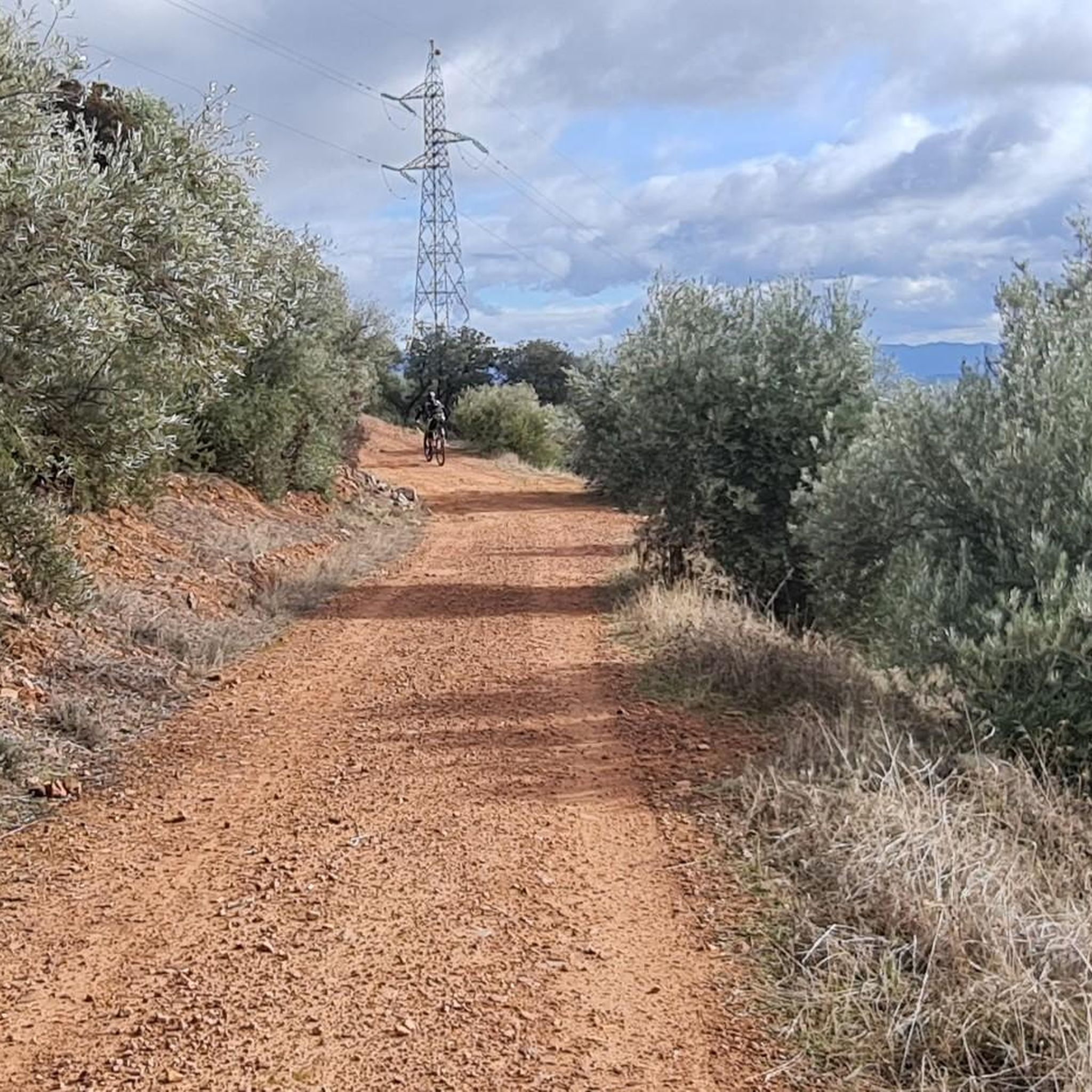
Hiking trails around Hinojosas de Calatrava traverse a diverse landscape within the Natural Park of Valle de Alcudia and Sierra Madrona. The region is characterized by holm oak forests, dehesas, and mountains covered with Mediterranean scrubland. River valleys, such as that of the Montoro, add to the natural environment. The terrain includes olive groves and native vegetation, offering varied hiking experiences.
Best hiking trails around Hinojosas de Calatrava
- The most popular hiking route is Las Lastras and La Batanera Trail…
Last updated: June 27, 2026
4.4
(8)
31
hikers
10.4km
03:02
290m
290m
Hike the moderate 6.5-mile Las Lastras and La Batanera Trail to see waterfalls, unique rock formations, and ancient rock art.
2
hikers
13.8km
04:13
480m
480m
Hike the moderate 8.6-mile Ascent to the Cruz de Hinojosas circular from Hinojosas de Calatrava for panoramic views and diverse terrain.

Sign up for free
4.3
(3)
23
hikers
Hard hike. Very good fitness required. Easily-accessible paths. Suitable for all skill levels.
4.0
(2)
15
hikers
7.01km
01:51
60m
60m
Easy hike. Great for any fitness level. Easily-accessible paths. Suitable for all skill levels.
5.0
(1)
11
hikers
8.65km
02:34
230m
230m
Moderate hike. Good fitness required. Easily-accessible paths. Suitable for all skill levels.
Get access to more routes and recommendations from other explorers.
Sign up for free
Already have an account?
Our route recommendations are based on thousands of hikes, rides, and runs completed by other people on komoot.
Start today with a free account
Your next adventure awaits.
Login or Signup


Tips from the Community

Located at the foot of the Monumento al Minero, an imposing bronze sculpture by Pepe Noja that represents the city's mining history, it borders the volcanic area of Campo de Calatrava and is close to the Alcudia Valley. Mining activity is of particular importance with the Mining Museum, a building that surrounds an old headframe and simulates a coal selection workshop. On its two floors, the museum addresses the transformation of Puertollano into an industrial city due to the discovery of coal.
13
0
Plaza Doctor Fleming in Puertollano is a central and well-known location in the city. It is located in the province of Ciudad Real and is a popular place for residents. The square is surrounded by green areas and parks, making it a pleasant place to stroll and relax.
23
0
The Casa de Baños in Puertollano is a historic building that currently houses the Citizens' Assistance Office (OAC) of the Puertollano City Council. It is located on Paseo de San Gregorio.
24
0
The Paseo de San Gregorio is one of the most iconic spots in Puertollano. This promenade is a large landscaped space that runs the length of the town and is a popular meeting point for residents and visitors. The promenade features beautiful gardens and several fountains, including the famous Fuente Agria.
23
0
The Fuente Agria is one of the most emblematic icons of Puertollano. Located on the Paseo de San Gregorio, this fountain is known for its water with a high iron content, which gives it a characteristic flavor and health benefits.
25
0

La Chorrera de Ventillas is one of those beautiful and unknown places that Sierra Morena houses in one of its hidden corners. It is located in the municipality of Fuencaliente (C. Real) about 19 kilometers from this town and just over 3 kilometers from Ventillas, district of Fuencaliente. This mountainous area is known as Sierra Madrona and its northern face (the Malagonas) is one of the wildest and most humid, providing the greatest number of streams and water to the Montoro River. This stream, in particular, is called Chorrera de la Garganta, which ends up joining the stream of Nueveveces and Aliseda that flows into the Montoro river next to the village of Ventillas between its hamlet and the hermitage of San Marcos. It is advisable to visit the place after it has rained to appreciate the waterfall at its peak, although the botanical, faunal diversity and landscape is overwhelming at any time of the year.
0
0
La Chorrera de Ventillas is one of those beautiful and unknown places that Sierra Morena houses in one of its hidden corners. It is located in the municipality of Fuencaliente (C. Real) about 19 kilometers from this town and just over 3 kilometers from Ventillas, district of Fuencaliente. This mountainous area is known as Sierra Madrona and its northern face (the Malagonas) is one of the wildest and most humid, providing the greatest number of streams and water to the Montoro River. This stream, in particular, is called Chorrera de la Garganta, which ends up joining the stream of Nueveveces and Aliseda that flows into the Montoro river next to the village of Ventillas between its hamlet and the hermitage of San Marcos. It is advisable to visit the place after it has rained to appreciate the waterfall at its peak, although the botanical, faunal diversity and landscape is overwhelming at any time of the year.
1
0
The Batanera Waterfall and Shelter is located in the Alcudia Valley and Sierra Madrona Natural Park. Route 10.- LAS LASTRAS- LA BATANERA
16
0
Frequently Asked Questions
How many hiking trails are available around Hinojosas de Calatrava?
There are over 40 hiking trails around Hinojosas de Calatrava, offering a wide range of options for different skill levels and interests within the Natural Park of Valle de Alcudia and Sierra Madrona.
Are there easy hiking routes suitable for beginners or families?
Yes, Hinojosas de Calatrava offers 17 easy hiking routes. One example is the La Batanera Rock Art Site – Batanera Waterfall loop from Plaza de toros, which is a shorter path ideal for a more relaxed outing.
What kind of terrain can I expect on the hiking trails?
The terrain around Hinojosas de Calatrava is diverse, featuring holm oak forests, dehesas, and mountains covered with Mediterranean scrubland. You'll encounter olive groves, native vegetation, and river valleys, providing varied landscapes and walking surfaces.
Are there any circular hiking routes in the area?
Yes, many routes in the region are circular. For instance, the View of Los Riscos – Mountain View loop from Parque Natural del Valle de Alcudia y Sierra Madrona offers a scenic circular experience through mountain views and Mediterranean scrubland.
Can I find trails with waterfalls or other natural water features?
Absolutely. The area is home to natural water features. You can explore routes that lead to the Batanera Waterfall or the area around Las Lastras, where the Montoro River contributes to the serene natural environment.
What are some notable landmarks or viewpoints I can discover while hiking?
Hikers can enjoy splendid views from Cerro de la Cruz, offering panoramic vistas of Hinojosas, the Valle de Alcudia, and Sierra Madrona. Additionally, the La Batanera Rock Art Site and Peñaescrita Cave Paintings offer a glimpse into the region's historical and cultural past.
What do other hikers say about the trails in Hinojosas de Calatrava?
The routes in Hinojosas de Calatrava are highly rated by the komoot community, with an average score of 4.7 stars from over 50 reviews. Hikers often praise the diverse landscapes, the tranquility of the natural park, and the well-maintained paths.
Is there parking available at the trailheads?
While specific parking details vary by trailhead, many popular starting points for hikes, such as those leading to the Molino Flor de Ribera or the Batanera area, typically have designated parking spaces or areas where vehicles can be left safely.
What is the best time of year to go hiking in Hinojosas de Calatrava?
The best time to hike in Hinojosas de Calatrava is generally during the spring and autumn months. The weather is milder, and the natural landscape is vibrant, with blooming flora in spring and rich colors in autumn. Summers can be very hot, making early mornings or late afternoons preferable if hiking during that season.
Are there any challenging routes for experienced hikers?
Yes, for experienced hikers seeking a challenge, there are 4 difficult routes. The Batanera Waterfall – La Batanera Rock Art Site loop from Parking La Batanera is a demanding 18.2 km trail with significant elevation gain, offering a rigorous outdoor experience.
Can I combine hiking with exploring historical sites?
Yes, the region offers a unique blend of nature and history. You can hike to sites like the La Batanera Rock Art Site or the Peñaescrita Cave Paintings, which feature ancient cave art, adding a cultural dimension to your outdoor adventure.
What kind of flora and fauna can I expect to see?
The Natural Park of Valle de Alcudia and Sierra Madrona is rich in biodiversity. You'll encounter Mediterranean scrubland with rockroses, kermes oaks, rosemary, junipers, and even strawberry trees and cork oaks. The area is also ideal for wildlife observation, with various bird species and other local fauna.
Most popular routes around Hinojosas De Calatrava
Most popular attractions around Hinojosas De Calatrava

Get inspired with the komoot mobile app


Explore more
Browse the best Hikes in other regions.
