The best running trails around Montenegro De Cameros
104
runners
8
runs
Jogging routes around Montenegro de Cameros are set within the mountainous terrain of the Iberian System in Soria, Spain. The region features towering peaks, expansive natural parks, and dense forests of oak and beech. Notable natural features include Pico de Urbión, the highest peak in this part of the Iberian System, and the Source of the Duero River. Glacial lagoons like Laguna Negra de Soria and Laguna Larga also contribute to the area's diverse landscape, offering varied running environments.
Best…
Last updated: May 16, 2026
73
runners
13.4km
02:37
670m
670m
Hard run. Very good fitness required. Sure-footedness, sturdy shoes and alpine experience required.
12.5km
01:26
290m
300m
Moderate run. Good fitness required. Mostly accessible paths. Some sure footedness required.

Sign up for free
7.42km
00:55
250m
240m
Moderate run. Good fitness required. Mostly paved surfaces. Suitable for all skill levels.
8
runners
31.5km
04:17
1,230m
1,230m
Hard run. Very good fitness required. Mostly paved surfaces. Suitable for all skill levels.
5
runners
9.72km
01:19
350m
340m
Hard run. Very good fitness required. Mostly paved surfaces. Suitable for all skill levels.
Get access to more routes and recommendations from other explorers.
Sign up for free
Already have an account?
Our route recommendations are based on thousands of hikes, rides, and runs completed by other people on komoot.
Start today with a free account
Your next adventure awaits.
Login or Signup
Tips from the Community

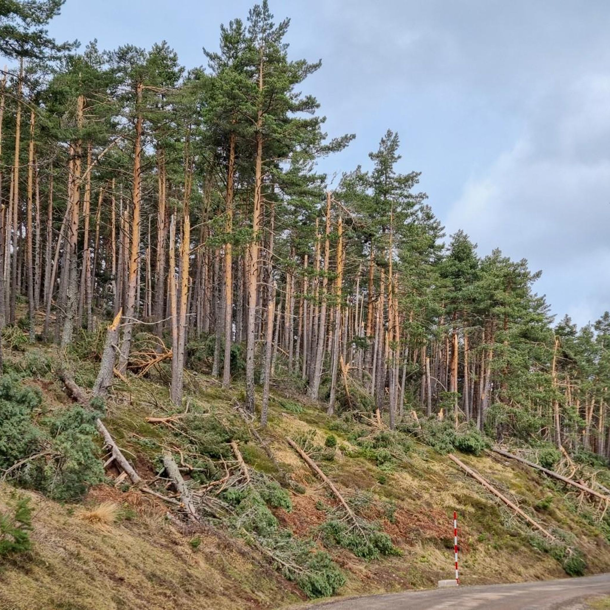
A recommended area for walking.
0
0

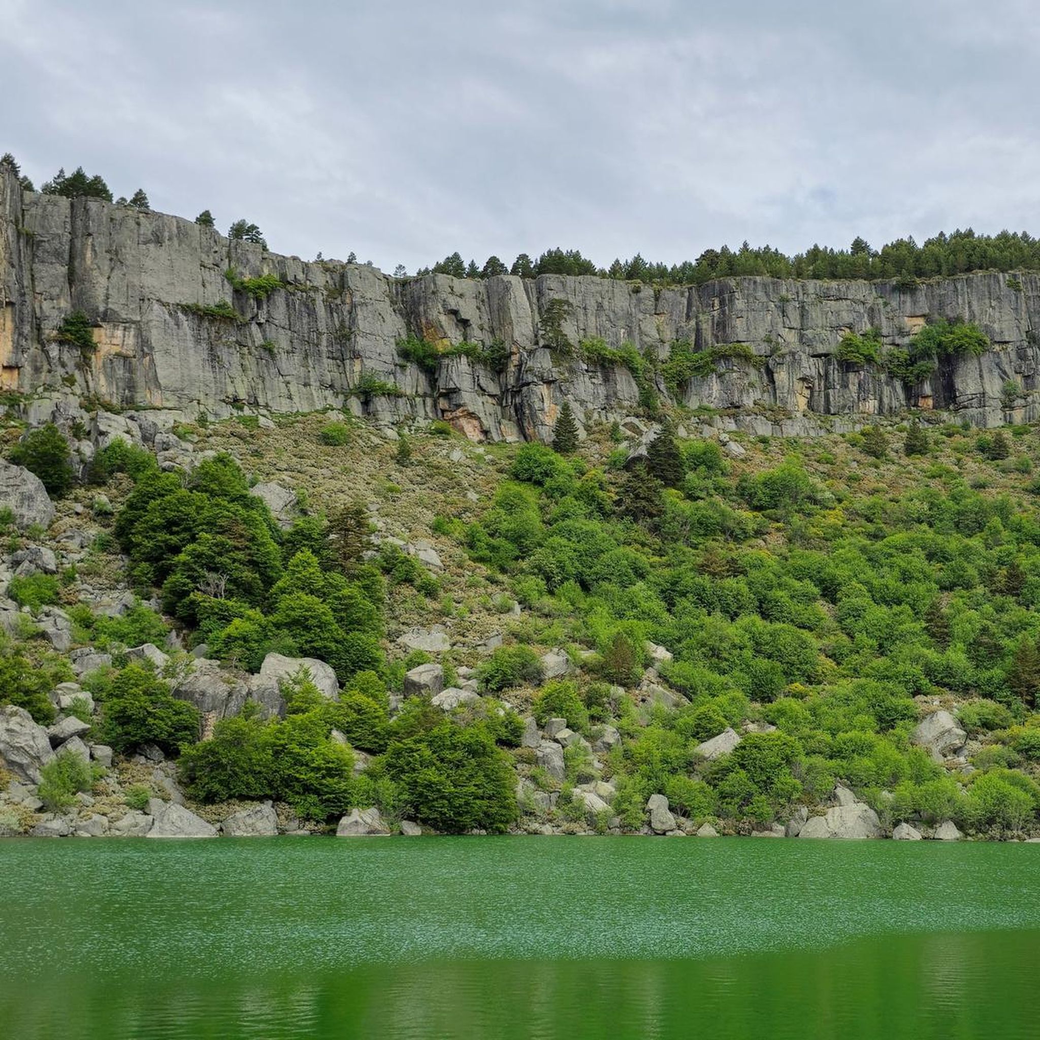
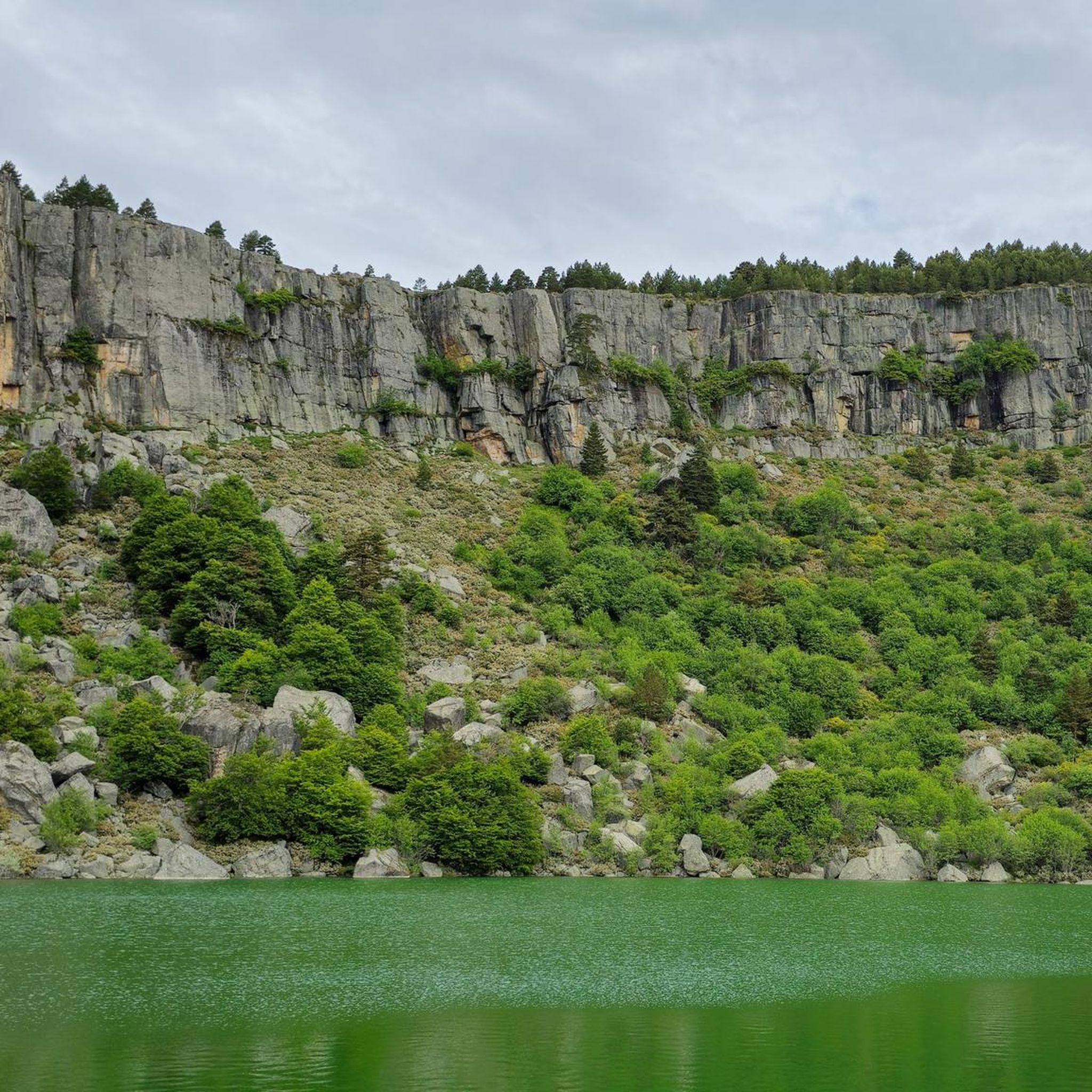
Laguna Larga is one of the glacial lagoons found in the Urbión Mountains, very close to the famous Laguna Negra, in the province of Soria. It's less well-known but equally impressive, and is part of a natural environment of great beauty and ecological value.
3
0
The Black Lagoon of Urbión, located in the province of Soria, within the Sierra de Urbión and Laguna Negra Natural Park, is one of the most mysterious and beautiful places in Spain. Surrounded by a dense pine forest and rocky walls, this glacial lagoon has inspired legends and literature, such as the works of Antonio Machado.
3
0

Haven of peace surrounded by impressive forests.
0
0
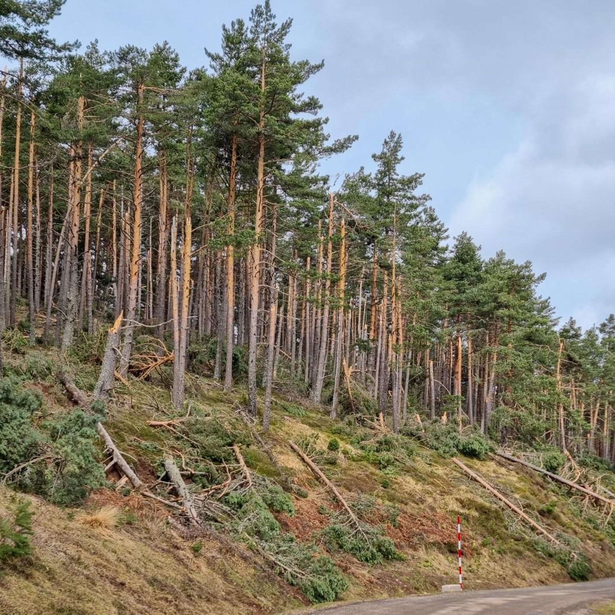
A crossroads, surrounded by the cool breeze of the Puente Ra Stream, with a table and seat for resting. The natural surroundings are breathtaking.
0
0

Pico de Urbión is an ideal destination for hiking lovers. It is located between the autonomous community of La Rioja and the provinces of Soria and Burgos (Castilla y León). It limits to the north with the Najerilla valley, to the south with the Duero valley, to the west with the Neila mountain range, and to the east with the Cebollera mountain range.
3
0
Frequently Asked Questions
How many running routes are available in Montenegro De Cameros?
Komoot offers a selection of 8 curated running routes around Montenegro De Cameros. These trails vary in difficulty and length, providing options for different fitness levels.
Are there any easy jogging routes in Montenegro De Cameros for beginners?
While the region is known for its mountainous terrain, the current selection of routes on komoot for Montenegro De Cameros primarily features moderate to difficult trails. There are no routes specifically categorized as easy. However, moderate options like the Thorny broom, Ra Bridge, Hermitage of Lomos de Orios – circular (7.4 km) could be a good starting point for those with some running experience.
What kind of landscapes can I expect to see while running in Montenegro De Cameros?
Jogging in Montenegro De Cameros offers diverse and captivating landscapes. You'll encounter mountainous terrain, dense forests of oak and beech, and impressive glacial lagoons. Notable features include views of Pico de Urbión, the highest peak in this part of the Iberian System, and scenic areas around the Source of the Duero River. Routes often provide panoramic vistas and a chance to experience the region's rich natural beauty.
Are there any circular running routes in the area?
Yes, several running routes in Montenegro De Cameros are circular, allowing you to start and end at the same point. For instance, the González Lacasa Reservoir - El Rasillo Loop is a moderate 12.5 km circular path offering scenic views of the reservoir and surrounding mountains. Another option is the Thorny broom, Ra Bridge, Hermitage of Lomos de Orios – circular, which is 7.4 km through forested areas.
Can I find routes with significant elevation gain for a challenging run?
Absolutely. Montenegro De Cameros is ideal for runners seeking a challenge. The region's mountainous character means many routes feature significant elevation changes. For example, the Pico Urbión Loop from Laguna Negra is a difficult 13.4 km trail with over 670 meters of elevation gain, offering spectacular panoramic views from the higher altitudes.
Are there any running trails that pass by lakes or reservoirs?
Yes, you can enjoy runs alongside beautiful water features. The González Lacasa Reservoir - El Rasillo Loop provides scenic views of the reservoir. Additionally, the region is home to impressive glacial lagoons like Laguna Larga and the famous Laguna Negra de Soria, which are prominent natural features in the area, often accessible or visible from various trails.
What is the best time of year for running in Montenegro De Cameros?
Spring and autumn are particularly pleasant for exploring the natural parks and running, with milder temperatures and vibrant scenery. Summer is also suitable, especially for enjoying the cooler temperatures of the higher mountain areas. Winter can bring snow, especially at higher elevations, which might require different gear or limit access to some trails.
Are there any viewpoints or natural landmarks along the running routes?
Many routes offer stunning viewpoints and pass by significant natural landmarks. You can expect panoramic views from trails around Pico de Urbión. The Laguna Negra and the Source of the Duero River are also key natural features in the area, providing picturesque settings for your run. The Arroyo de La Laguna also features a beautiful waterfall along the ascent to the Portillo of Laguna Negra.
Are the running trails in Montenegro De Cameros suitable for families?
While the region offers beautiful scenery, many of the listed running routes are categorized as moderate to difficult due to elevation changes and terrain. Families with younger children or those looking for very easy, flat paths might find options limited. However, active families with good fitness levels could enjoy some of the moderate trails, such as the Thorny broom, Ra Bridge, Hermitage of Lomos de Orios – circular, which leads through forested areas.
Are dogs allowed on the running trails in Montenegro De Cameros?
Generally, dogs are welcome on many outdoor trails in natural areas of Spain, but it's always advisable to keep them on a leash, especially in protected natural parks like the nearby Parque Natural Sierra Cebollera, to protect wildlife and ensure the safety of other users. Specific rules can vary, so checking local signage at trailheads is recommended.
Where can I find parking near the running trailheads?
Parking availability varies by trailhead. For routes like the Pico Urbión Loop from Laguna Negra, you would typically find parking facilities near popular access points such as Laguna Negra. For other routes originating from villages like El Rasillo de Cameros, village parking would be the primary option. It's recommended to check the specific route details on komoot for parking suggestions.
What is the longest running route available in this guide?
The longest running route featured in this guide is the Olmo de El Rasillo – Peña Hincada Pass loop from El Rasillo de Cameros. This challenging run covers approximately 31.6 kilometers (nearly 20 miles) and involves significant elevation gain, making it suitable for very fit and experienced runners.
Most popular attractions around Montenegro De Cameros

Get inspired with the komoot mobile app


Explore more
Browse the best Running Trails & Routes in other regions.
