The best running trails around Benatae
69
runners
10
runs
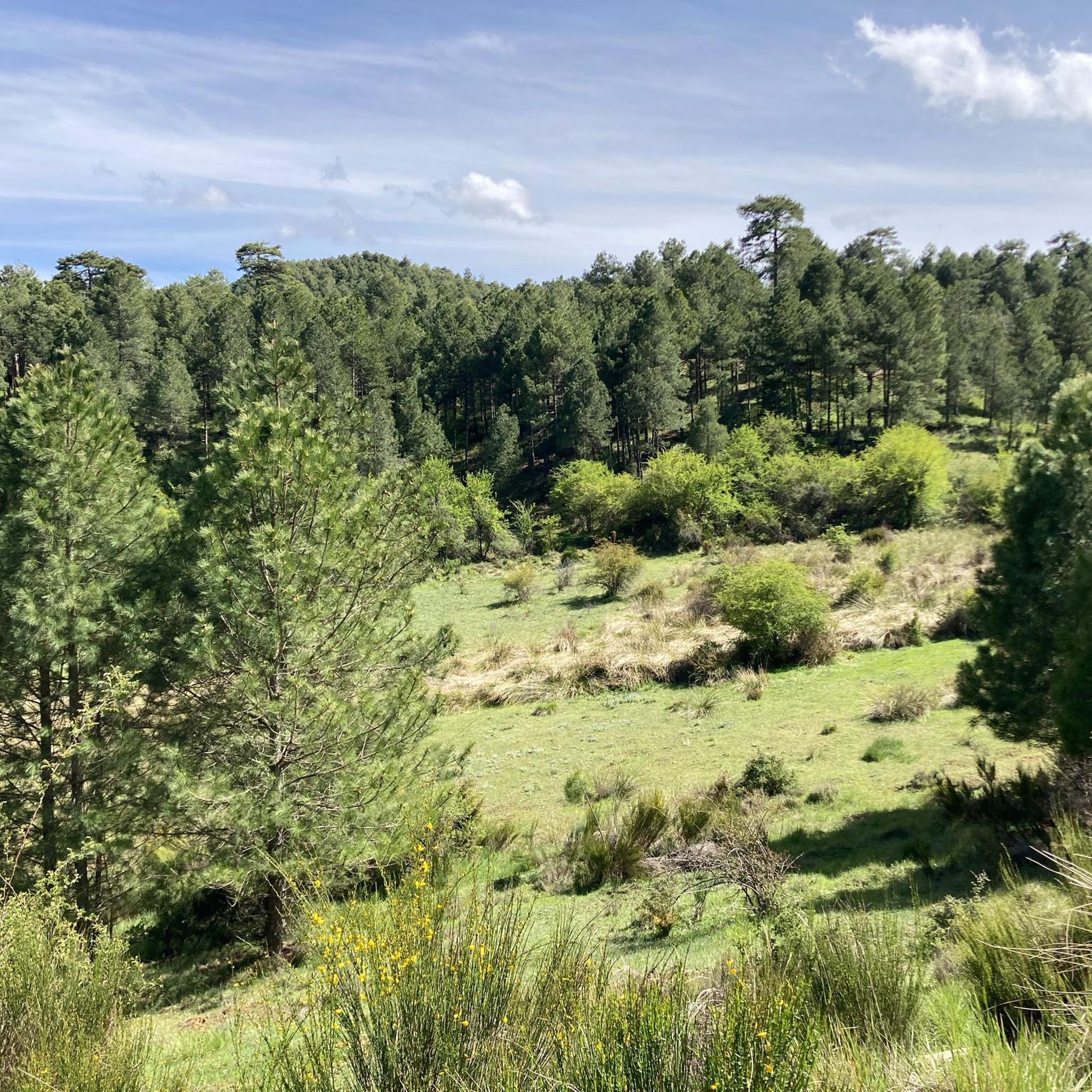
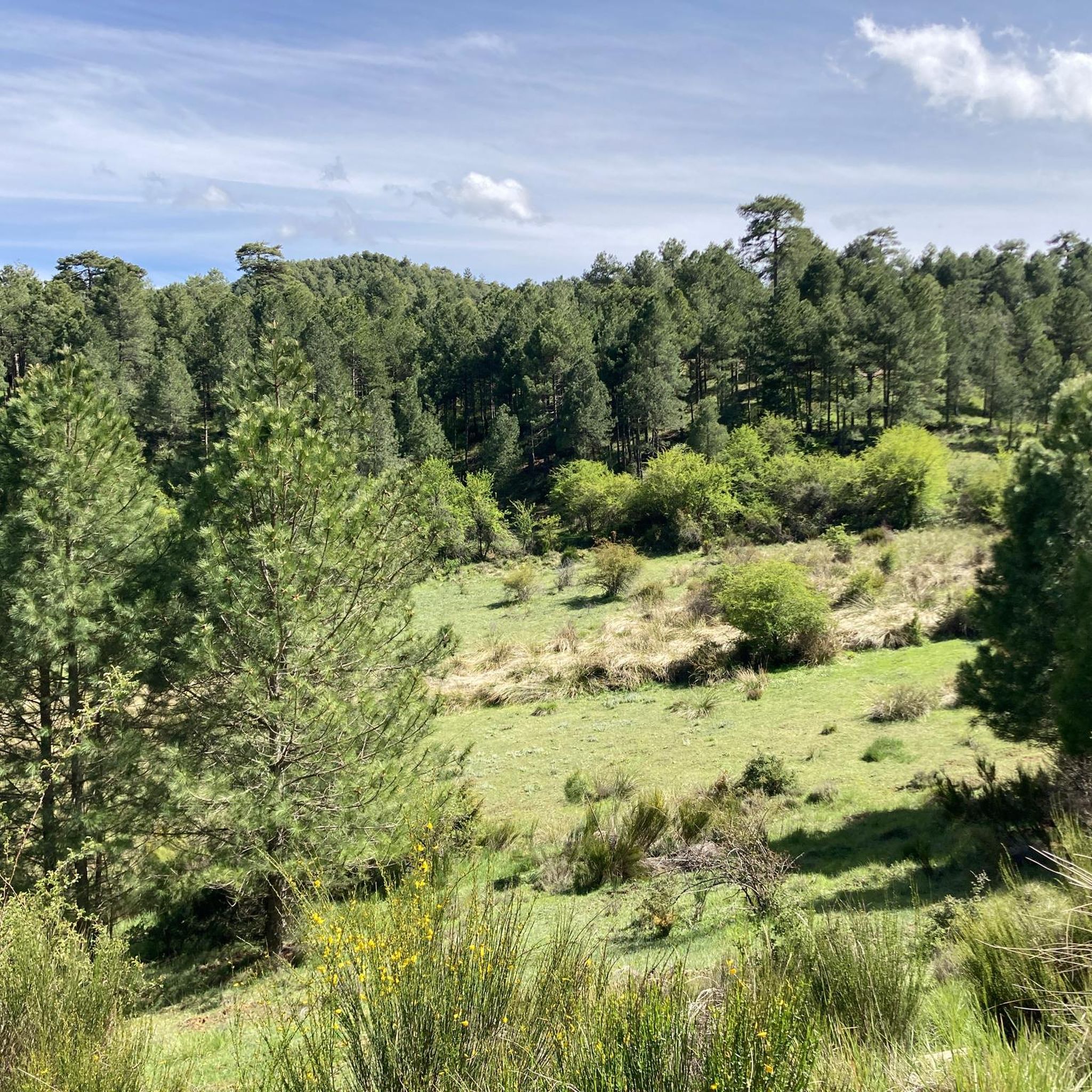
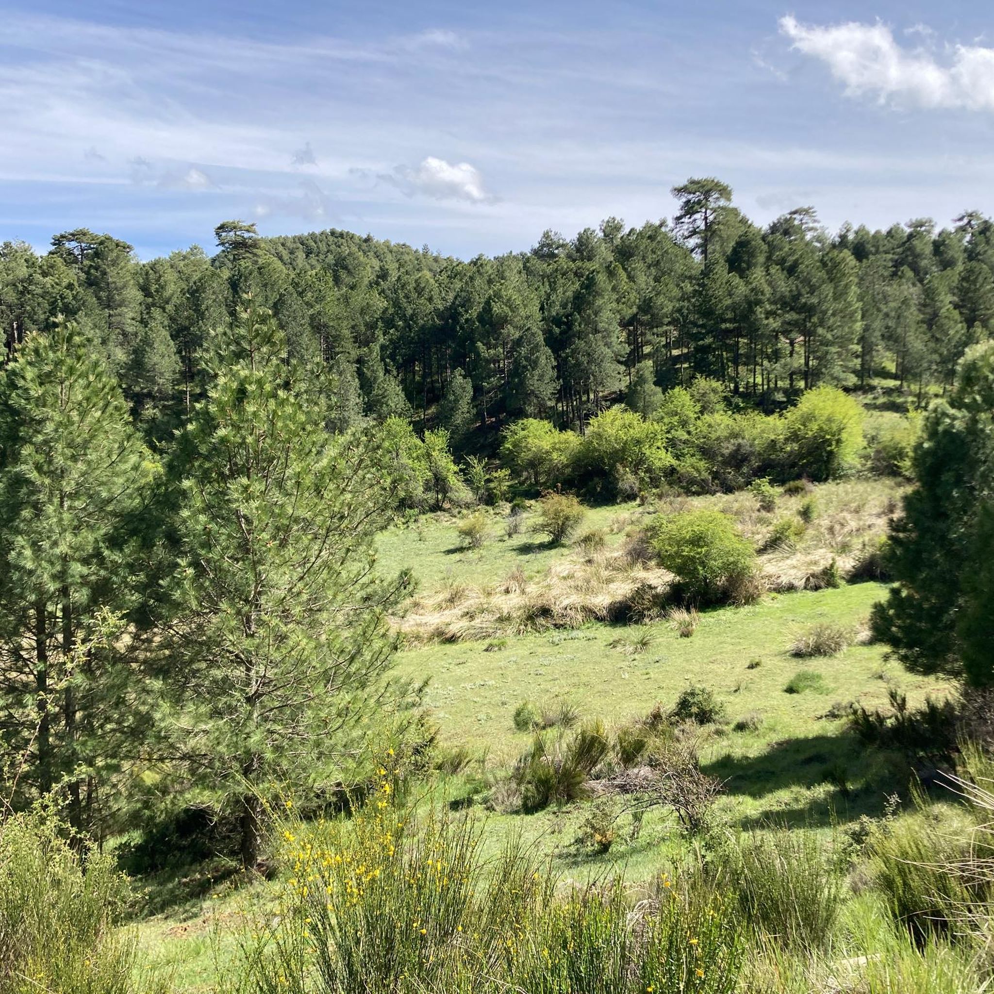
Jogging around Benatae offers access to the diverse landscapes of the Sierras de Cazorla, Segura y las Villas Natural Park, a UNESCO biosphere reserve. The region features an orographic labyrinth of valleys, limestone quarries, clefts, mountains, and high plateaus. Extensive pine forests and varied terrain, from soil paths to rocky ascents, characterize the running environment. Prominent natural features like Mount Peñalta and Cerro de San Miguel provide both challenging routes and scenic viewpoints.
Best jogging routes around Benatae
- The most…
Last updated: May 14, 2026
12.7km
01:52
680m
680m
Hard run. Very good fitness required. Mostly accessible paths. Some sure footedness required.
Hard run. Very good fitness required. Mostly accessible paths. Some sure footedness required.

Sign up for free
12
runners
7.88km
00:53
200m
200m
Moderate run. Good fitness required. Mostly paved surfaces. Suitable for all skill levels.
13
runners
9.38km
01:17
360m
360m
Hard run. Very good fitness required. Mostly paved surfaces. Suitable for all skill levels.
7
runners
Hard run. Very good fitness required. Mostly paved surfaces. Suitable for all skill levels.
Get access to more routes and recommendations from other explorers.
Sign up for free
Already have an account?
Our route recommendations are based on thousands of hikes, rides, and runs completed by other people on komoot.
Start today with a free account
Your next adventure awaits.
Login or Signup

Other adventures around Benatae

Tips from the Community

The trail (PR) leading there is very poorly maintained and frankly difficult to follow in places. I also saw no markings (apart from two old wooden signs). A shame.
0
0

Pico Mentiras is one of the highest peaks in the Sierra de Segura, reaching an altitude of 1,896 metres. It is located in Calar de la Sima, within the Calares del Mundo y de la Sima Natural Park. The most common route to climb Pico Mentiras starts from the village of Arguellite.
6
0
La Peña Palomera is an impressive peak located in the Sierra de Segura, near Yeste. It is located in the Calar de la Sima, a mountain formation that extends between the provinces of Albacete and Jaén. One of the most popular routes starts from the village of Arguellite and offers a circular route of approximately 21.9 km with a gradient of 1,040 metres.
5
0

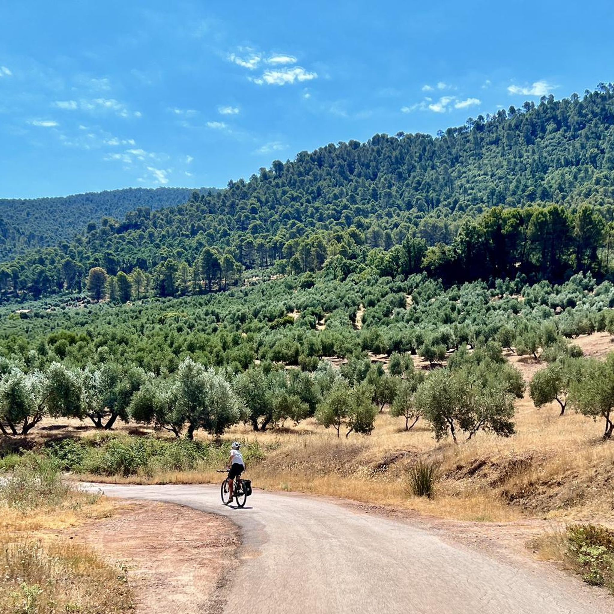
It is a beautiful municipality on the banks of the Guadalimar river. It is located at the foot of the Sierra del Segura and is a strategic point for adventurers who want to explore it, both on foot and by bicycle.
1
0


The town of La Puerta de Segura is located in one of the most fertile valleys of the Guadalimar River in Jaén, on an important trade route that leads to the Sierras de Cazorla y Las Villas Natural Park.
0
0
Small town located in the center of the Sierra de Segura on a hillside near the Amurjo river. Spectacular cycling scenery through a labyrinth of valleys, gorges and mountains.
2
0
Strategically located on the road that connects the Alto Guadalquivir region with the lands of La Mancha. The castle of Segura de la Sierra is one of the main cultural tourist attractions in the area. The Castle dates from the time of the Knights of the Order of Santiago and was built during the 13th and 14th centuries. Spectacular views of the entire landscape.
1
0
Frequently Asked Questions
How many running routes are available around Benatae?
Komoot offers a selection of 10 running routes around Benatae. These routes cater to various skill levels, with 3 moderate and 7 difficult options, ensuring a diverse experience for runners.
What kind of terrain can I expect on the running trails near Benatae?
The running trails around Benatae, nestled within the Sierras de Cazorla, Segura y las Villas Natural Park, feature a diverse terrain. You'll encounter an "orographic labyrinth of valleys, limestone quarries, clefts, mountains and high plateaus." Expect extensive pine forests, varied paths from soil to rocky ascents, and significant elevation changes, especially on routes like Cerro de la Buitrera - circular trail running from la Puerta de Segura.
Are there any easy or moderate running routes suitable for beginners or families?
While many routes in Benatae are challenging, there are 3 moderate running routes available. An example is the Segura de la Sierra loop from Segura de la Sierra, which is 4.9 miles (7.8 km) long and takes about 57 minutes to complete. These offer a good balance for those looking for less strenuous options.
Can I bring my dog on the running trails in the Benatae area?
The Sierras de Cazorla, Segura y las Villas Natural Park, where Benatae is located, generally allows dogs on trails, but it's crucial to keep them on a leash to protect wildlife and ensure their safety. Always check specific park regulations or signage for any restrictions on particular routes or areas.
What are some scenic viewpoints or natural features I can see while running?
The region offers breathtaking views. You can ascend Peñalta de Benatae (1,412 m) for "incredible views of the Sierra de Segura" and the natural park. The Los Estrechos Recreation Area – Peñalta de Benatae loop incorporates this peak. Additionally, Cerro de San Miguel, just 1.5 km from Benatae, provides magnificent views of the Natural Park and features one of the many natural fountains.
Are there any circular running routes available around Benatae?
Yes, several circular running routes are available. For instance, the Cerro de la Buitrera - circular trail running from la Puerta de Segura is a popular difficult option. Another is the Segura de la Sierra loop from Segura de la Sierra, which is a moderate circular trail.
Where can I find parking for the running routes around Benatae?
While specific parking details for each route are not always listed, Benatae is a rural area, and many trailheads within the Sierras de Cazorla, Segura y las Villas Natural Park typically have designated parking areas or roadside spots. For routes starting from towns like Segura de la Sierra or La Puerta de Segura, you can usually find parking within or near the village centers.
What is the best time of year to go running in Benatae?
Benatae's location within a natural park makes it suitable for outdoor activities for much of the year. Spring and autumn generally offer the most pleasant temperatures for running, with lush landscapes. Summer can be hot, especially at midday, so early morning or late afternoon runs are advisable. Winter offers cooler temperatures, but higher elevations might experience snow or colder conditions.
Are there any longer, more challenging trail running options for experienced runners?
Absolutely. Benatae is ideal for experienced trail runners seeking a challenge. Routes like Pico Mentiras y Peña Palomera, an 8.1-mile (13.0 km) difficult path, or the Los Estrechos Recreation Area – Peñalta de Benatae loop, which spans nearly 25 km with significant elevation gain, provide demanding and rewarding experiences.
What makes the running experience in Benatae unique?
The running experience in Benatae is unique due to its integration into Spain's largest protected area, the Sierras de Cazorla, Segura y las Villas Natural Park. Runners can enjoy extensive forested zones, primarily pine forests, diverse terrain, and a tranquil environment away from urban noise. The region's rich biodiversity and stunning natural beauty, including peaks like Peñalta, offer an immersive and stimulating running environment.
Are there any facilities or places to rest along the routes?
The area around Benatae is rich in natural features, including numerous springs that can serve as natural hydration points. For more structured facilities, you might find picnic areas like the Charming picnic area or shelters such as the Era del Fustal Shelter, especially on longer trails or near recreational zones. Some routes may pass by small villages where basic amenities are available.
Can I combine running with exploring local attractions?
Yes, many running routes offer opportunities to see local attractions. For example, the region features historical sites like the Castle of Segura de la Sierra, which can be viewed or visited as part of a run originating from or passing near Segura de la Sierra. The natural park itself is a major attraction, with its diverse landscapes and viewpoints.
What are the typical distances and durations for running routes in Benatae?
The running routes around Benatae vary significantly in distance and duration. You can find routes ranging from moderate loops of around 4.9 miles (7.8 km) taking about 57 minutes, such as the Segura de la Sierra loop, to more challenging trail runs like the Los Estrechos Recreation Area – Peñalta de Benatae loop, which is nearly 15.4 miles (24.8 km) and can take over 3 hours.
Most popular attractions around Benatae

Get inspired with the komoot mobile app


Explore more
Browse the best Running Trails & Routes in other regions.
