The best walks and hikes around Benatae
4.6
(91)
403
hikers
46
hikes
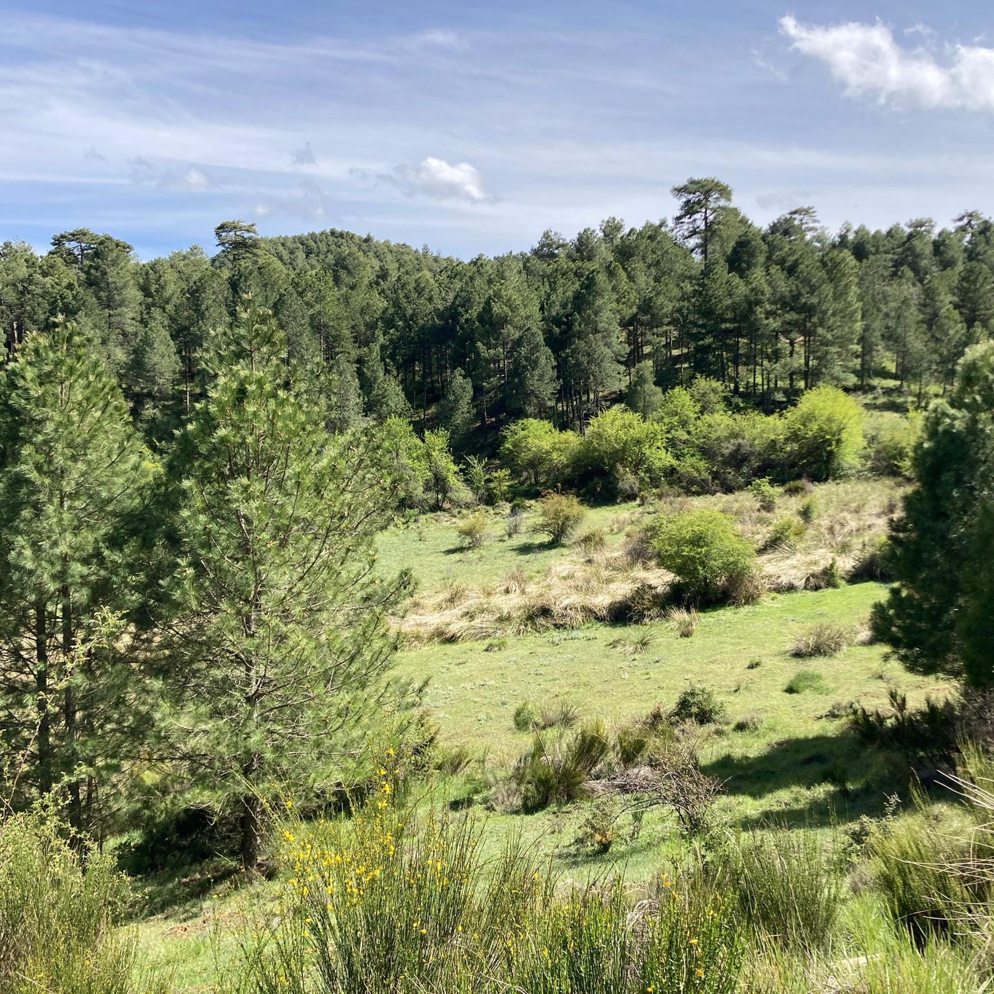
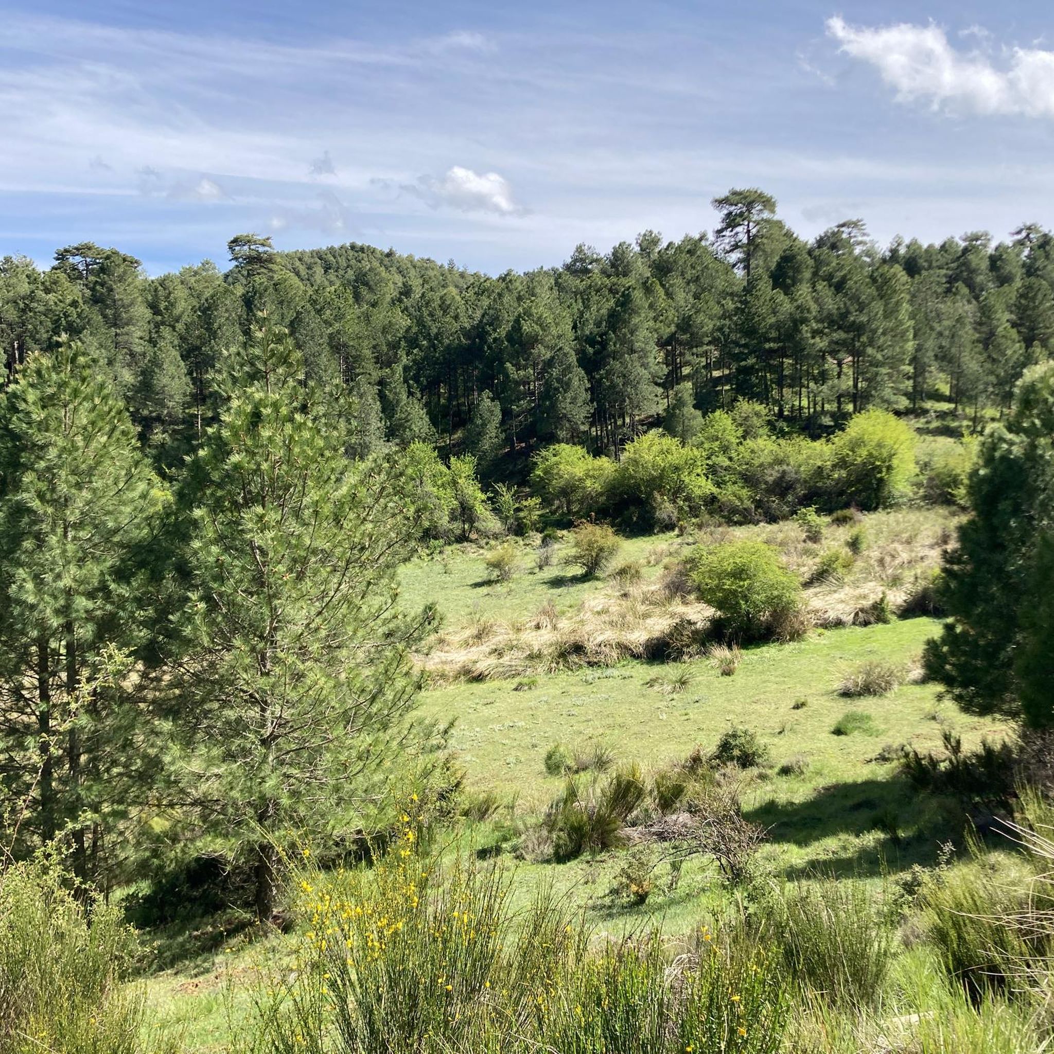
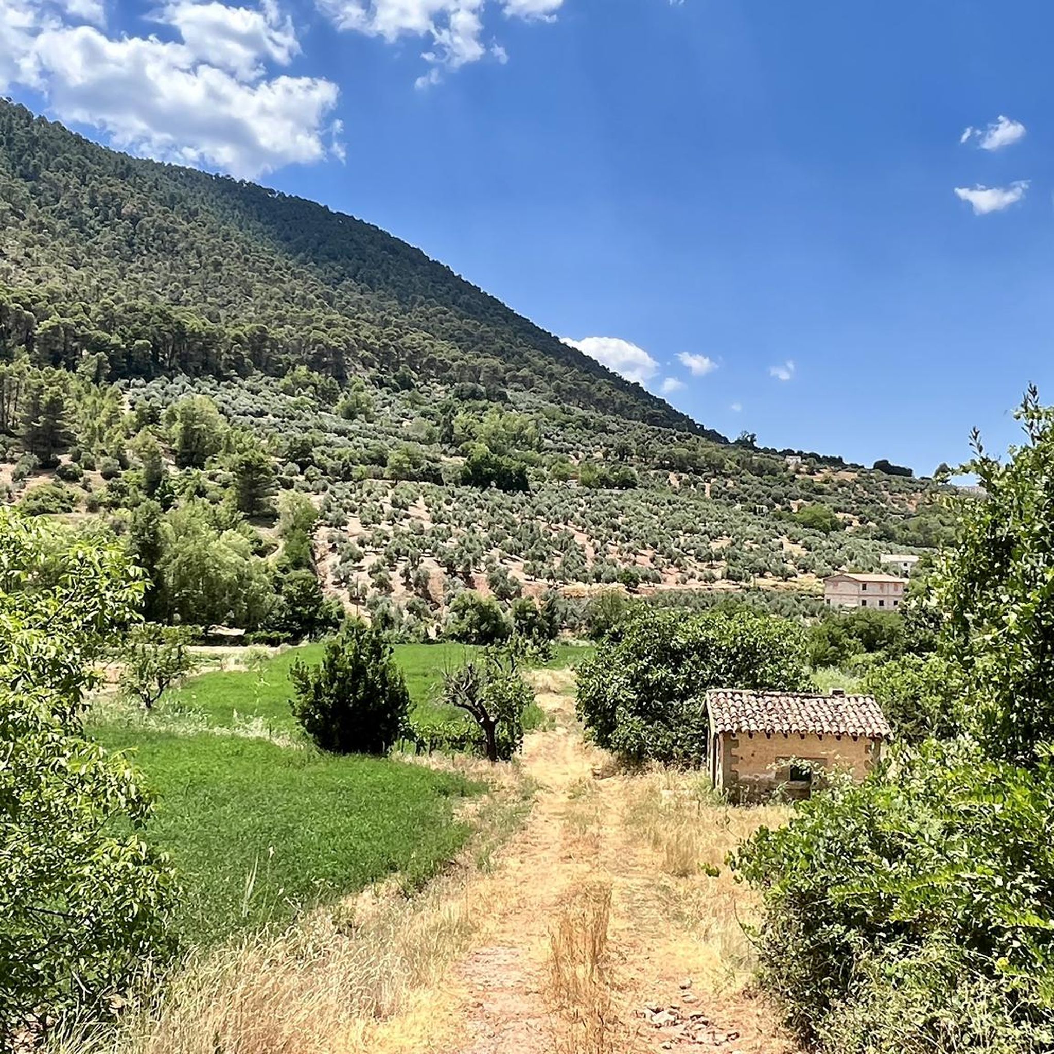
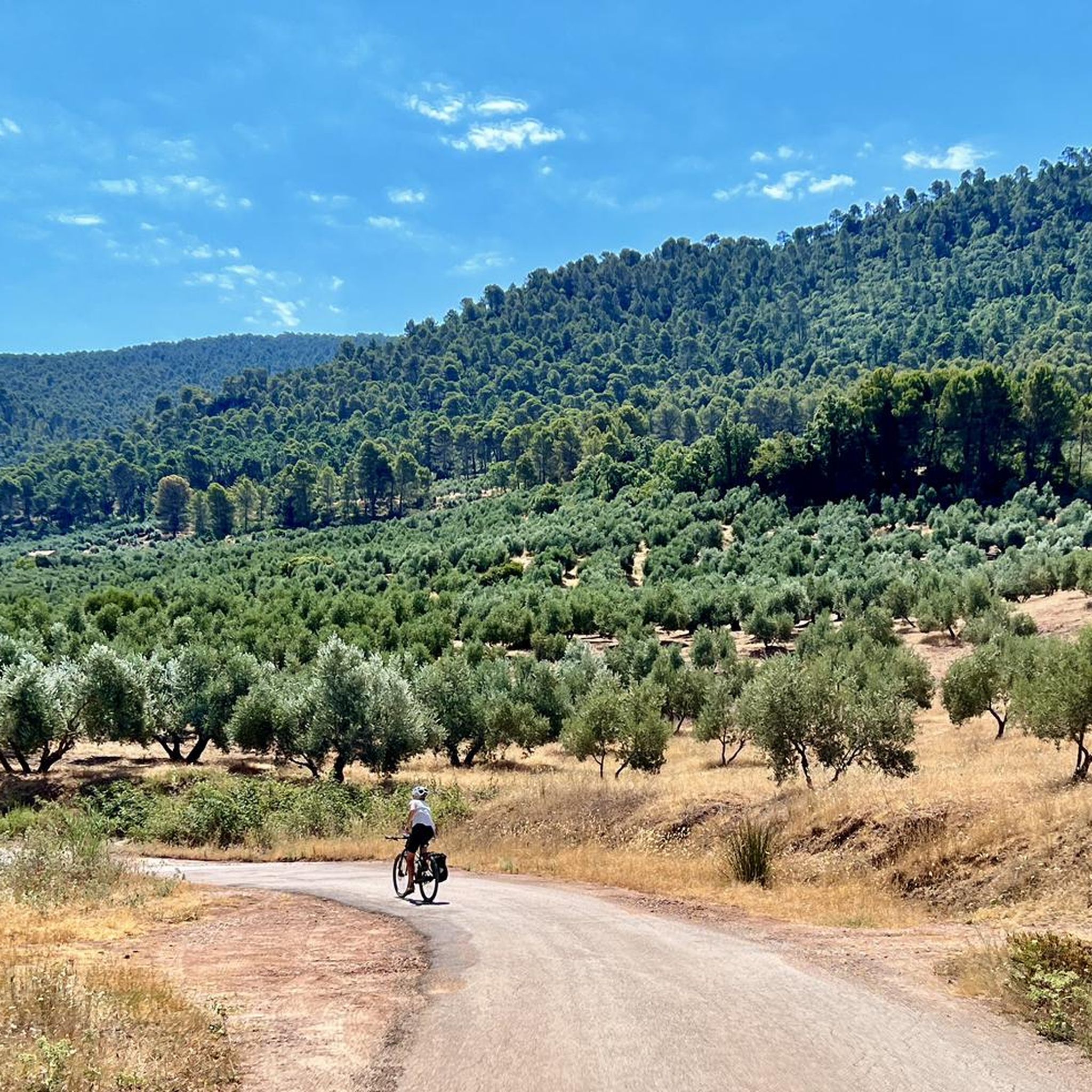
Hiking around Benatae offers access to the Sierra de Segura, a region characterized by mountainous terrain, extensive pine forests, and numerous natural springs. A significant portion of the area lies within the Cazorla Segura and Las Villas Natural Park, known for its valleys, limestone quarries, and high plateaus. The landscape includes prominent peaks like Mount Peñalta and El Púlpito, providing panoramic views. This natural setting supports a diverse ecosystem and provides varied hiking opportunities.
Best hiking trails around Benatae
- The…
Last updated: May 27, 2026
4.7
(3)
11
hikers
Moderate hike. Good fitness required. Mostly accessible paths. Sure-footedness required.
3.5
(2)
4
hikers
11.2km
03:37
500m
500m
Moderate hike. Good fitness required. Easily-accessible paths. Suitable for all skill levels.

Sign up for free
5.0
(1)
2
hikers
12.7km
04:21
680m
680m
Moderate hike. Good fitness required. Mostly accessible paths. Sure-footedness required.
Moderate hike. Good fitness required. Mostly accessible paths. Sure-footedness required.
4.6
(5)
58
hikers
8.63km
02:41
340m
340m
Moderate hike. Good fitness required. Easily-accessible paths. Suitable for all skill levels.
Get access to more routes and recommendations from other explorers.
Sign up for free
Already have an account?
Our route recommendations are based on thousands of hikes, rides, and runs completed by other people on komoot.
Start today with a free account
Your next adventure awaits.
Login or Signup

Other adventures around Benatae

Tips from the Community

The trail (PR) leading there is very poorly maintained and frankly difficult to follow in places. I also saw no markings (apart from two old wooden signs). A shame.
0
0

Pico Mentiras is one of the highest peaks in the Sierra de Segura, reaching an altitude of 1,896 metres. It is located in Calar de la Sima, within the Calares del Mundo y de la Sima Natural Park. The most common route to climb Pico Mentiras starts from the village of Arguellite.
6
0
La Peña Palomera is an impressive peak located in the Sierra de Segura, near Yeste. It is located in the Calar de la Sima, a mountain formation that extends between the provinces of Albacete and Jaén. One of the most popular routes starts from the village of Arguellite and offers a circular route of approximately 21.9 km with a gradient of 1,040 metres.
5
0

It is a beautiful municipality on the banks of the Guadalimar river. It is located at the foot of the Sierra del Segura and is a strategic point for adventurers who want to explore it, both on foot and by bicycle.
1
0

Inside there are tables and wooden planks to rest. Please take care of him!
6
0
This Refuge, despite being next to the road, is in very good condition to spend the night and rest.
6
0
It is a free refuge that is located at a road junction. It has tables and bunk beds with a maximum capacity of 10 or 12 people. Ideal to recover energy while listening to the bellowing of the deer.
6
0

The town of La Puerta de Segura is located in one of the most fertile valleys of the Guadalimar River in Jaén, on an important trade route that leads to the Sierras de Cazorla y Las Villas Natural Park.
0
0
Frequently Asked Questions
How many hiking trails are available around Benatae?
Benatae offers a wide range of hiking opportunities, with over 30 routes available. These trails cater to various skill levels, from easy strolls to more challenging ascents within the Sierra de Segura.
What kind of terrain can I expect on hikes near Benatae?
The terrain around Benatae is predominantly mountainous, characterized by extensive pine forests and numerous natural springs. A significant portion of the area lies within the Cazorla Segura and Las Villas Natural Park, featuring valleys, limestone quarries, and high plateaus. You'll encounter varied paths, from forest tracks to rocky ascents, offering a diverse hiking experience.
Are there any challenging hikes for experienced trekkers?
Yes, for experienced trekkers, there are challenging routes. One such option is the Puntal de la Misa to Las Gorgollitas Trail, which is rated as difficult and covers approximately 11.2 km with significant elevation changes, offering a rewarding adventure.
What are some notable natural features or viewpoints to look out for?
Benatae is rich in natural beauty and offers stunning viewpoints. The region is known for its abundant springs, such as Atajadero and San Miguel, with the Área Recreativa Fuente San Miguel being a popular starting point for routes. Peaks like Mount Peñalta and El Púlpito provide fantastic panoramic views. You can also find highlights like Peñalta de Benatae (1,412 m) and Puntal de la Misa (1,796 m) offering impressive vistas.
Are there any historical landmarks or attractions accessible by hiking?
Absolutely. The region combines natural beauty with historical interest. For example, the Castle of Segura de la Sierra from Orcera route leads towards historical landmarks, including the impressive Castle of Segura de la Sierra itself, offering a blend of hiking and cultural exploration.
Are there any circular hiking routes in Benatae?
Yes, there are circular routes available for those who prefer to start and end in the same location. A popular option is the Peña del Olivar Loop Trail, a moderate 10.7 km path that offers scenic views of the surrounding natural park.
What do other hikers say about the trails in Benatae?
The trails in Benatae are highly regarded by the komoot community, holding an average rating of 4.6 stars from over 70 reviews. Hikers often praise the tranquil atmosphere, the stunning natural beauty of the Sierra de Segura, and the diverse landscapes encountered on the routes.
Are there family-friendly hiking options in Benatae?
While specific 'easy' family routes are not detailed, the area offers a range of difficulties. With 5 easy routes among the total, families can find suitable paths for shorter, less strenuous walks, especially around recreational areas like Fuente San Miguel, which provide a pleasant environment for all ages.
Is it possible to hike with dogs in Benatae?
The Sierra de Segura, being a natural park, generally welcomes dogs on trails, especially if kept on a leash to protect wildlife and ensure the safety of other hikers. It's always advisable to check specific park regulations or signage at trailheads, but the natural environment is conducive to hiking with canine companions.
What is the best time of year to go hiking in Benatae?
Benatae is an excellent destination for outdoor activities. The spring and autumn months typically offer the most pleasant temperatures for hiking, with lush landscapes in spring and vibrant colors in autumn. Summer can be hot, especially at lower elevations, while winter brings cooler temperatures and the possibility of snow at higher altitudes, offering a different kind of beauty.
Are there any facilities like picnic areas or shelters along the trails?
Yes, the area provides some facilities to enhance your hiking experience. You can find a Charming picnic area and a Era del Fustal Shelter. There are also Drinking water sources available, which are essential for longer hikes.
How can I reach the trailheads, and is parking available?
Benatae is nestled within the Sierra de Segura, and many trailheads are accessible from or near the village center. The Área Recreativa Fuente San Miguel is a known starting point for several routes. While specific parking details for every trailhead are not listed, rural areas like Benatae typically offer parking options near popular access points or village outskirts. Public transport options might be limited, so driving is often the most convenient way to access the more remote trails.
Most popular attractions around Benatae

Get inspired with the komoot mobile app


Explore more
Browse the best Hikes in other regions.
