The best walks and hikes around Aliaguilla
4.3
(9)
39
hikers
8
hikes
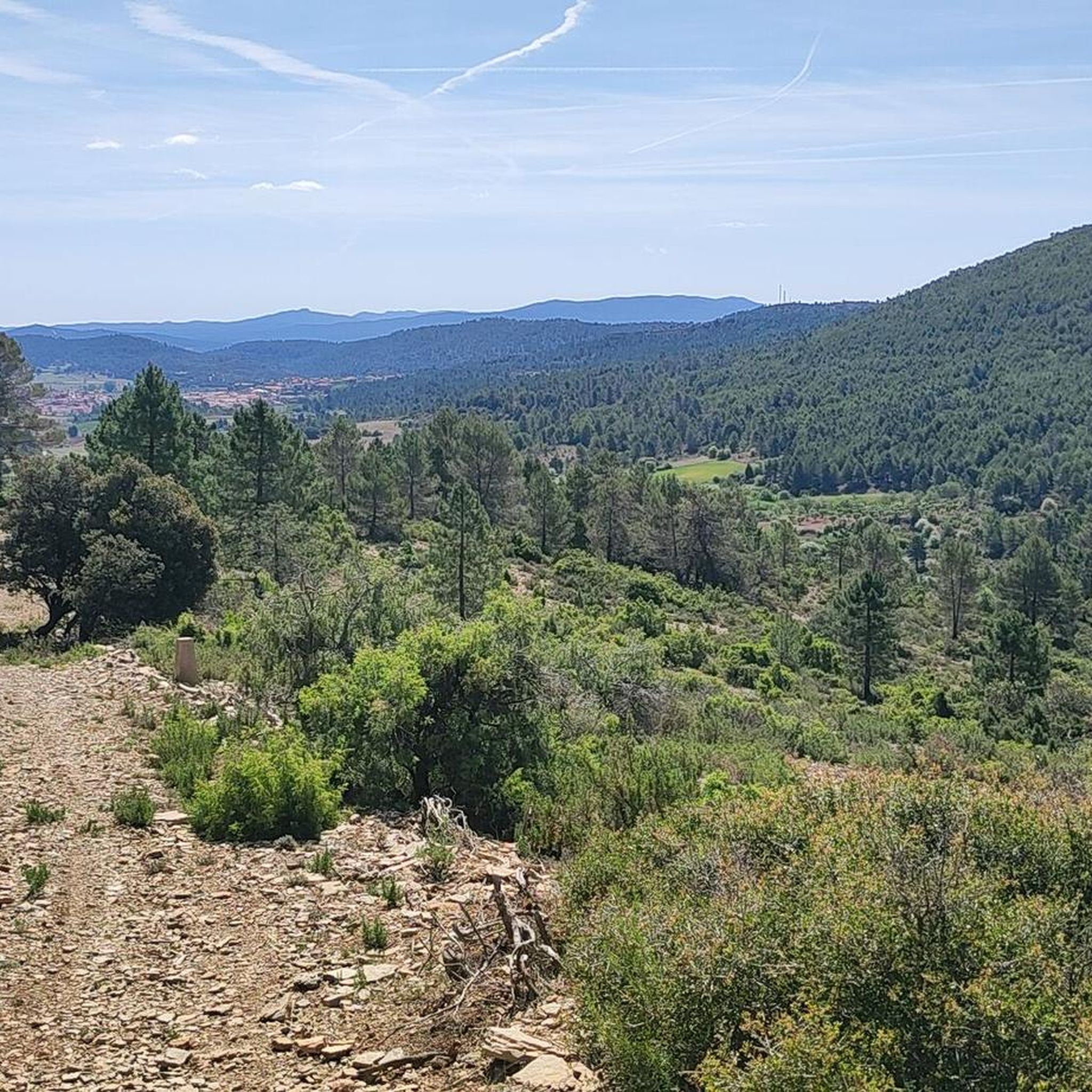
Hiking around Aliaguilla offers diverse natural landscapes, situated at an altitude of 1,040 meters amidst mountains and ravines. The region features extensive forests of pines, savin junipers, and holm oaks, alongside distinctive sandstone formations known as "Rodeno" areas. Notable peaks like El Telegrafo, over 1,400 meters, and Pico de la Silleta, at 1,300 meters, define the mountainous terrain. The nearby Cabriel River and its canyon add to the area's varied geological features.
Best hiking trails around Aliaguilla
- The most popular…
Last updated: June 28, 2026
4.7
(3)
5
hikers
11.9km
03:35
370m
370m
Moderate hike. Good fitness required. Mostly accessible paths. Sure-footedness required.
3.0
(2)
6
hikers
6.23km
01:41
80m
80m
Easy hike. Great for any fitness level. Easily-accessible paths. Suitable for all skill levels.

Sign up for free
4.0
(1)
9
hikers
3.24km
00:51
20m
20m
Easy hike. Great for any fitness level. Easily-accessible paths. Suitable for all skill levels.
5.0
(2)
8
hikers
5.67km
01:34
100m
100m
Easy hike. Great for any fitness level. Easily-accessible paths. Suitable for all skill levels.
4
hikers
11.3km
03:40
490m
490m
Moderate hike. Good fitness required. Easily-accessible paths. Suitable for all skill levels.
Get access to more routes and recommendations from other explorers.
Sign up for free
Already have an account?
Our route recommendations are based on thousands of hikes, rides, and runs completed by other people on komoot.
Start today with a free account
Your next adventure awaits.
Login or Signup
Popular around Aliaguilla
Tips from the Community

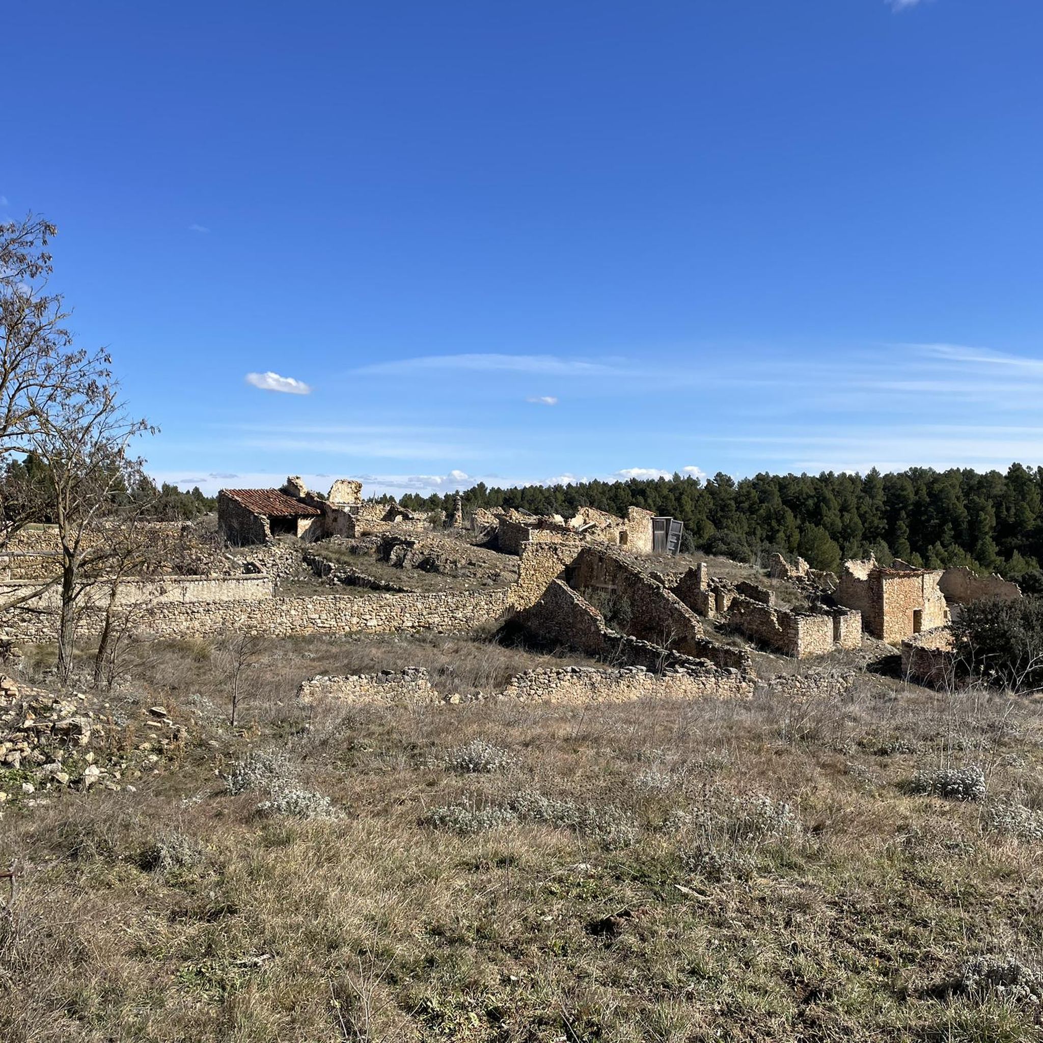
Near Sinarcas, the path that skirts the Carpio hill winds through a pine forest and offers a stretch of welcoming shade under the pine treetops, with the path curving gently between the trees and creating natural spots to stop and rest.
0
0

16th century Trinitarian Monastery transformed into a charming hotel that offers all the comforts.
6
0

Built in the 16th century, the Monastery offers the possibility of staying and enjoying nature in this area of the Cuenca mountains. It works as a hotel and restaurant after its restoration a few years ago and you can tour the Sanctuary as well as its facilities and surroundings. You can check the official website for more information: https://www.monasteriodetejeda.com/?gclid=CjwKCAiAzp6eBhByEiwA_gGq5N8px4EoGZ8CPnW41RP0gl7obKNdmJGpfqEhCZ9HiQ6GXuS0fSQQORoC1e4QAvD_BwE
2
0
Pulpitejo viewpoint with spectacular views, a staircase sculpted on a large stone block takes us to its top and El Tormo which offers the best views.
9
0
The Mirador de la Sierra in which the population is contemplated.
9
0
Frequently Asked Questions
What kind of landscapes can I expect to see while hiking around Aliaguilla?
Aliaguilla offers a diverse range of landscapes, from extensive forests of pines, savin junipers, and holm oaks to unique "Rodeno" areas characterized by distinctive sandstone formations and specific vegetation. You'll also encounter mountainous terrain with peaks like El Telegrafo and Pico de la Silleta, as well as ravines and the nearby Cabriel River.
Are there any easy hiking trails suitable for beginners or families in Aliaguilla?
Yes, Aliaguilla has several easy trails. For instance, the Ojos de Moya River Gorge Trail is an easy 6.2 km path that follows the river gorge with minimal elevation change, offering scenic views. Another easy option is the View of the Canyon loop from Casa Polan, which is about 3.2 km long.
Can I find circular hiking routes in the Aliaguilla area?
Yes, there are several circular routes available. The Pico Ranera loop from Casa Polan is a moderate 11.3 km trail that takes you through mountainous terrain. Another option is the Fields of Sinarcas loop from Sinarcas, an easy 5.7 km route.
What natural features or geological formations can I explore on the trails?
The region is rich in natural features. You can explore the unique sandstone formations in the "Rodeno" areas, such as those found in Plaza Sobrarias. There are also several caves like the Cueva de la Judía, Cueva del Arco, and the archaeological Cueva del Collado de la Plata. The Canaleja is known for its beautiful waterfall, and the Cañón del Cabriel offers dramatic river gorge scenery.
Are there any historical or cultural landmarks along the hiking trails?
Yes, hikers can discover several historical elements. The PR-CU 14 "Sendero de Torrelahuerta" passes by an 11th-century Muslim tower, the Castillo de Torrelahuerta. The PR-CU 15 "Sendero del Collado de la Plata" allows you to explore pre-Roman archaeological sites at Plaza Sobrarias and Peñarrubia. You might also encounter the Roman-era Puente Viejo (Old Bridge).
Where can I find scenic viewpoints or panoramic views in Aliaguilla?
For breathtaking panoramic views, you can visit the Paraje de La Atalaya, a natural viewpoint overlooking the valley. Additionally, the PR-CU 14 "Sendero de Torrelahuerta" offers excellent views from Collado Pedro Chova, leading towards the summit of El Telegrafo. The View of Camporrobles is another notable viewpoint in the area.
What do other hikers say about the trails in Aliaguilla?
The hiking routes in Aliaguilla are highly regarded by the komoot community, with an average score of 4.3 stars from over 8 reviews. Hikers often praise the diverse natural landscapes, from dense forests to mountainous peaks, and the variety of trails suitable for different ability levels.
Are there any trails that feature water elements like rivers or waterfalls?
Yes, the region is close to the Cabriel River, which offers opportunities for both hiking and water-based activities. The Ojos de Moya River Gorge Trail follows the river, providing scenic views. The Canaleja is also known for its beautiful waterfall, and the Cañón del Cabriel features natural pools.
What is the highest point I can reach on a hike in Aliaguilla?
The highest point you can reach on a hike is El Telegrafo, which soars over 1,400 meters in the Sierra de Mira. It's a beautiful forest area and a flora micro-reserve, offering extensive views from Collado Pedro Chova.
Are there any facilities or places to rest near the trails?
While specific facilities directly on every trail may vary, the La Olla Recreation Area is a designated spot where you might find facilities for resting and enjoying the natural surroundings.
How many hiking trails are available in the Aliaguilla area?
There are 8 hiking trails documented in the Aliaguilla area, offering a range of experiences from easy river gorge walks to more moderate mountain loops.
What are the difficulty levels of the hiking trails in Aliaguilla?
The trails around Aliaguilla cater to various fitness levels. There are 5 easy routes, perfect for a relaxed stroll, and 3 moderate routes for those seeking a bit more challenge. There are no difficult trails listed in this guide.
Most popular routes around Aliaguilla
Most popular attractions around Aliaguilla

Get inspired with the komoot mobile app


Explore more
Browse the best Hikes in other regions.
