The best running trails around Merindad De Sotoscueva
4.0
(2)
253
runners
74
runs
Jogging around Merindad De Sotoscueva offers diverse natural landscapes in the north of Burgos province, characterized by its extensive karst complex, the Natural Monument of Ojo Guareña. The region features a mix of forests, including beech and oak, alongside rivers and streams that feed the underground systems. Terrain varies from gentle paths through traditional villages to more challenging routes with moderate elevation gains across hills and pastures.
Best jogging routes around Merindad de Sotoscueva
- The most popular jogging route is…
Last updated: October 8, 2026
4
runners
8.70km
00:59
120m
120m
Moderate run. Good fitness required. Mostly accessible paths. Some sure footedness required.
9
runners
8.70km
01:12
340m
340m
Hard run. Very good fitness required. Sure-footedness, sturdy shoes and alpine experience required.

7
runners
13.2km
01:35
200m
200m
Moderate run. Good fitness required. Mostly paved surfaces. Suitable for all skill levels.
6
runners
Moderate run. Good fitness required. Mostly paved surfaces. Suitable for all skill levels.
4
runners
10.8km
01:11
170m
170m
Moderate run. Good fitness required. Mostly paved surfaces. Suitable for all skill levels.
Get access to more routes and recommendations from other explorers.
Already have an account?
Our route recommendations are based on thousands of hikes, rides, and runs completed by other people on komoot.
Start today with a free account
Your next adventure awaits.
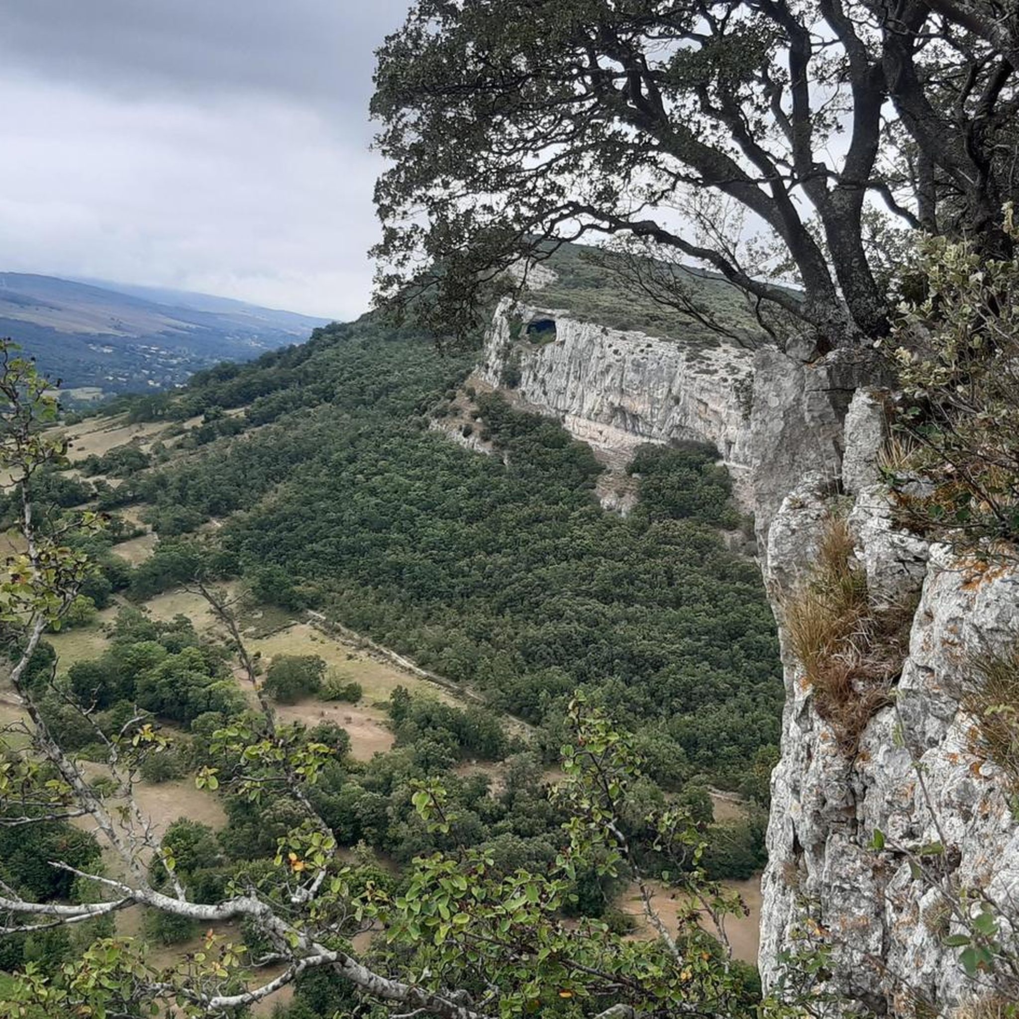
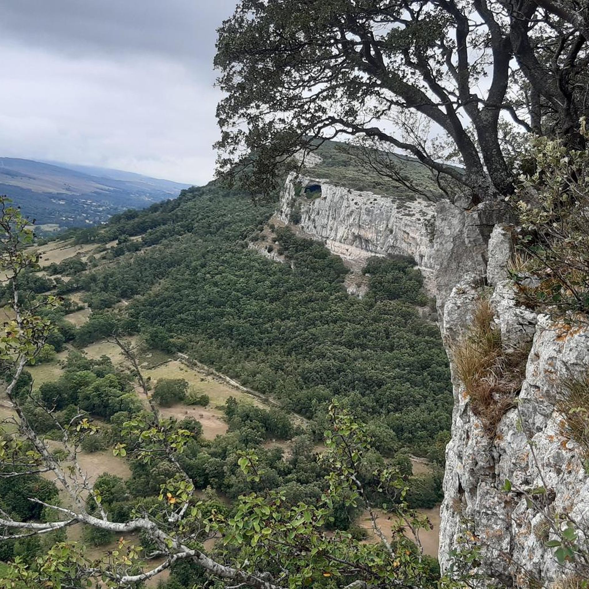
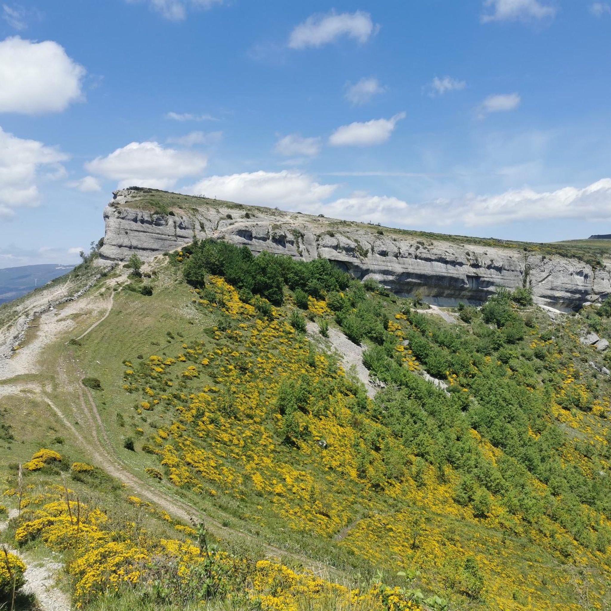
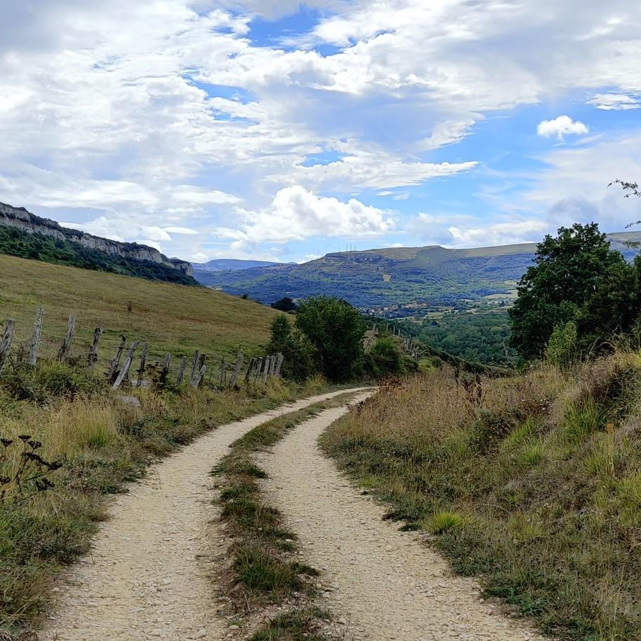

Tips from the Community

The hermitage of San Bernabé is located at the main entrance of the Ojo Guareña Karst Complex and is part of the caves. Located in the municipality of Cueva de Sotoscueva. The date of its construction is unknown, some place it between the 8th and 9th centuries, but it is also believed to be from the 13th century.
1
0

The Salceda waterfall is formed in the Sotoscueva valley, in the course of the San Miguel River as it passes through the municipality of Quisicedo. It has a 30 meter drop, although in some points the slope is so gentle that it causes the water, rather than falling, to slide over the stones. It is worth leaving the path for a few meters to admire this spectacular and hidden corner.
0
0

Nice and fun trail between the road that leads to the magnificent views of El Ventanón and Pico del Cuerno, another of the most spectacular natural viewpoints in the area.
2
0
El Ventanón is an impressive rock formation located in Las Merindades. It is a huge vertical wall over 100 meters high that resembles a natural window in the middle of the mountain.
1
0

In the town of Quisicedo, which is followed by a set of small nuclei, there is the Iglesia de Santiago Apóstol in the old middle of the town.
0
0
In the Valle de Sotoscueva appears the town of Quisicedo. This is a small town located in the southern foothills of the Sierra Cantábrica.
0
0
In the Merindades region to the north of Burgos is the Cueva Ermita de San Bernabé, located at the main entrance of the karstic complex of the Ojo Guareña Natural Monument, a hermitage that was previously dedicated to San Tirso and later San Bernabé
0
0
This impressive 30-meter waterfall, formed by the waters of the San Miguel stream, remains hidden in the Sotoscueva Valley and is the culmination of a set of waterfalls that plunge down the slopes of Los Montes de Somo.
1
0
Frequently Asked Questions
How many running routes are available in Merindad de Sotoscueva?
Komoot offers over 60 diverse running routes in Merindad de Sotoscueva. These include 6 easy routes perfect for a relaxed jog, 30 moderate trails, and 25 more challenging paths for experienced runners.
Are there any easy running routes suitable for beginners or families?
Yes, Merindad de Sotoscueva offers several easy running routes. For instance, the R.C.BU-31 El Valle is a low-difficulty circular route of almost 10 km, traversing charming traditional villages like Cueva, Quisicedo, and Quintanilla de Sotoscueva, showcasing rich traditional architecture. You can find 6 easy routes listed on komoot.
What kind of natural attractions can I see along the running trails?
The region is rich in natural beauty. Many routes traverse forests of beech and oak, run alongside picturesque arroyos and rivers, and offer views of the Montes del Somo. The impressive karst complex of Ojo Guareña is a central feature, with trails leading to its caves and surrounding geological formations. You might also encounter unique sights like the Natural Rock Arch of Puentedey.
Are there any running routes that feature waterfalls?
Yes, the region boasts beautiful waterfalls. The Quisicedo – Salceda Waterfall loop from Río Guareña is a challenging 8.7 km route that leads to the Salceda Waterfall, passing through forests and heathlands. Another notable waterfall is the Cascada de la Mea, located between Puentedey and Quintanilla de Valdebodres, accessible via a pleasant short trail.
Can I find circular running routes in Merindad de Sotoscueva?
Absolutely. Many of the running paths in the area are circular, allowing you to start and end at the same point. The Ermita y Cuevas de San Bernabé — circular desde Quisicedo is a moderate 8.7 km option, exploring the area around the hermitage and caves. The Senda Cascada de la Salceda is another circular route, nearly 9 km long, leading to a waterfall.
What are the terrain types like on the running paths?
The terrain in Merindad de Sotoscueva is quite varied, reflecting its diverse natural landscapes. You can expect a mix of gentle paths through traditional villages, forest trails (including beech and oak woods), heathlands, and pastures. Some routes feature moderate elevation gains across hills, while others follow riverbanks, offering a mix of flat and undulating surfaces.
Are there any long-distance or challenging running trails for experienced runners?
Yes, for those seeking a greater challenge, there are 25 difficult routes available. The Mirador de la Herbosa loop from Espinosa de los Monteros is a demanding 26.1 km trail with significant elevation, typically taking over 3.5 hours to complete. Another challenging option is the Running loop from Espinosa de los Monteros, which covers 13.9 km with substantial climbs.
What do other runners enjoy most about jogging in Merindad de Sotoscueva?
Runners frequently praise the region's diverse natural landscapes, from the extensive karst complex of Ojo Guareña to the dense beech and oak forests. The blend of natural beauty, charming traditional villages, and well-defined trails for various ability levels makes it a popular choice. Nearly 200 runners have used komoot to explore these varied terrains.
Are there any specific landmarks or points of interest to look out for while running?
Beyond the natural beauty, you can encounter several interesting landmarks. The village of Puentedey, built atop a natural stone bridge carved by the Nela River, is a unique sight. The area around the Ojo Guareña Caves, including the Cueva-ermita de San Bernabé, offers historical and geological interest. Some routes also pass through traditional villages with rich architecture.
What is the best time of year to go running in Merindad de Sotoscueva?
Merindad de Sotoscueva is enjoyable for running throughout much of the year. Spring and autumn offer pleasant temperatures and vibrant scenery, with blooming flora or colorful foliage. Summer can be warm, but routes through forests or along rivers provide shade. Winter running is possible, but conditions may vary, especially at higher elevations or after rainfall, so checking local weather and trail conditions is advisable.
Are there running routes that follow riverbanks?
Yes, several routes in Merindad de Sotoscueva incorporate river sections. The Yera and Aján Riverbanks Trail is a moderate 9.6 km route that follows riverbanks, offering varied and scenic views. The region's numerous arroyos and rivers feed the Ojo Guareña karst complex, and many trails run alongside them, adding to the picturesque scenery.
Most popular routes around Merindad De Sotoscueva
Most popular attractions around Merindad De Sotoscueva

Get inspired with the komoot mobile app


Explore more
Browse the best Running Trails & Routes in other regions.
