The best walks and hikes around La Póveda De Soria
4.3
(12)
125
hikers
18
hikes
Hiking around La Póveda De Soria offers diverse landscapes, from dense forested areas to mountainous regions. The area is characterized by its connection to the Sierra de Cameros and the Parque Natural Sierra Cebollera, providing varied terrain for outdoor activities. The Soria province features parks, nature reserves, significant peaks, and leafy forests with ancient trees. This region provides an extensive network of hiking trails suitable for exploring its natural features.
Best hiking trails around La Póveda De Soria
- The most…
Last updated: June 28, 2026
2
hikers
Moderate hike. Great for any fitness level. Mostly accessible paths. Sure-footedness required.
Hard hike. Very good fitness required. Mostly accessible paths. Sure-footedness required.

Sign up for free
5.0
(1)
27
hikers
4.41km
01:33
250m
250m
Easy hike. Great for any fitness level. Easily-accessible paths. Suitable for all skill levels.
3.0
(1)
13
hikers
8.16km
02:40
370m
370m
Moderate hike. Good fitness required. Easily-accessible paths. Suitable for all skill levels.
14
hikers
10.1km
03:45
650m
650m
Moderate hike. Good fitness required. Easily-accessible paths. Suitable for all skill levels.
Get access to more routes and recommendations from other explorers.
Sign up for free
Already have an account?
Our route recommendations are based on thousands of hikes, rides, and runs completed by other people on komoot.
Start today with a free account
Your next adventure awaits.
Login or Signup
Popular around La Póveda De Soria
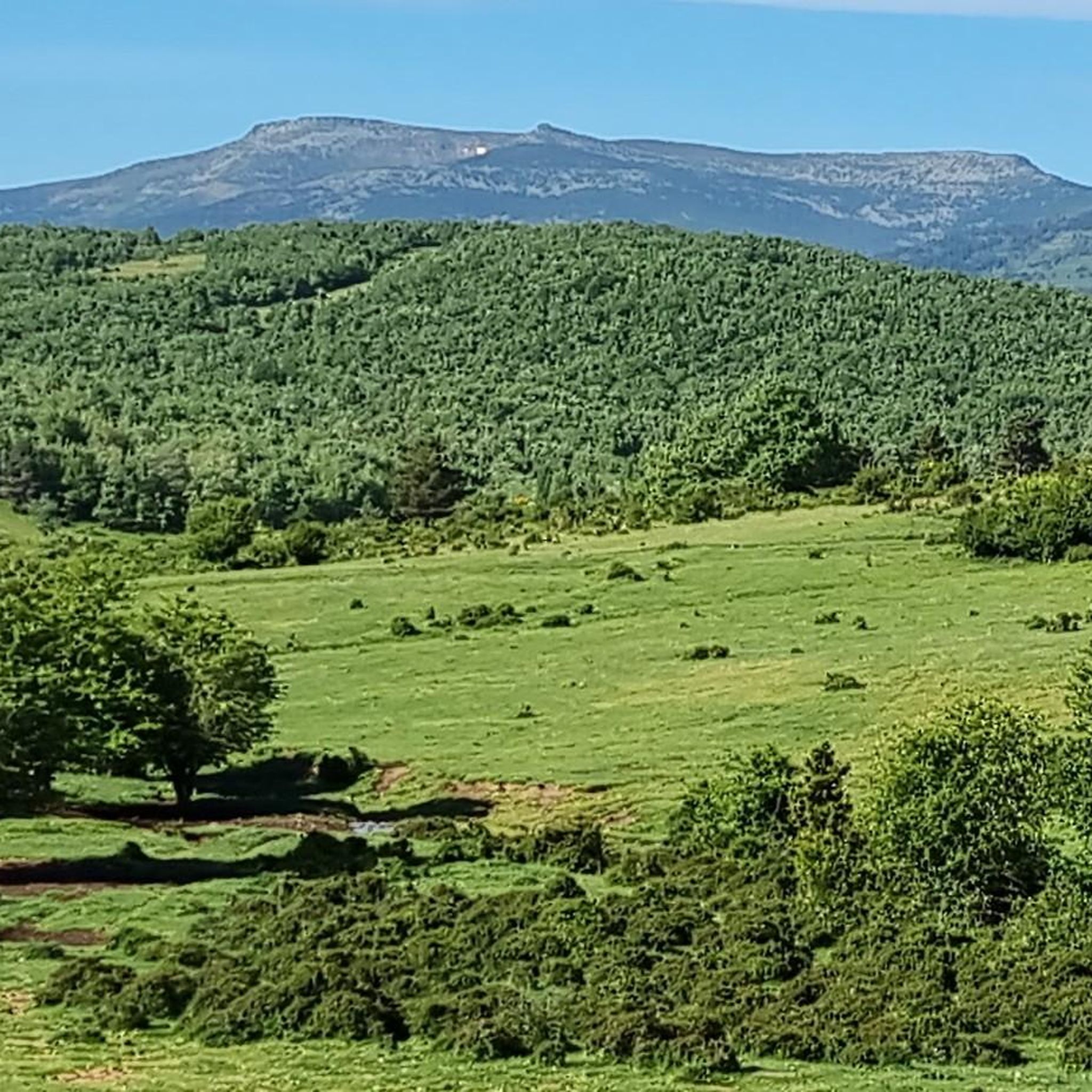
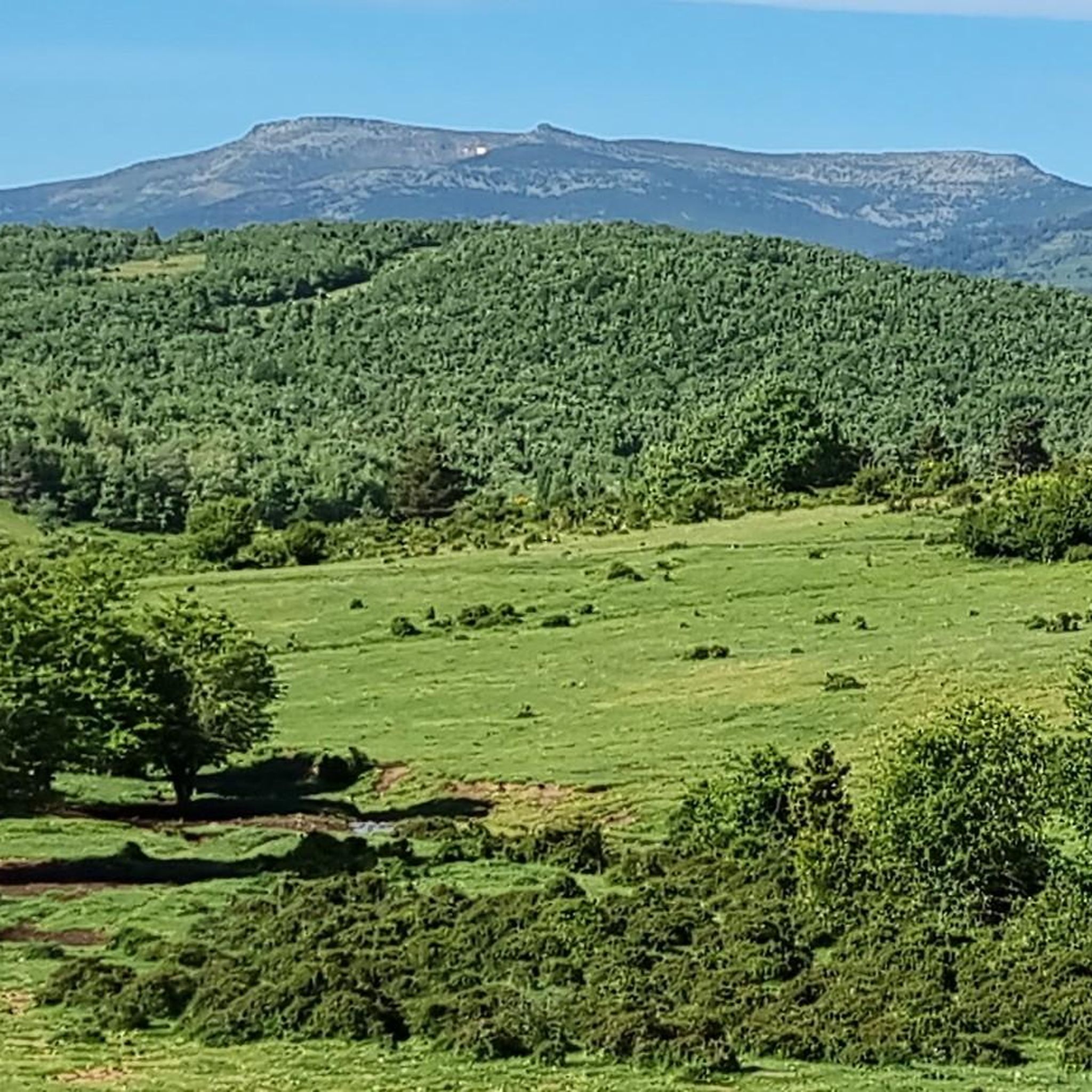
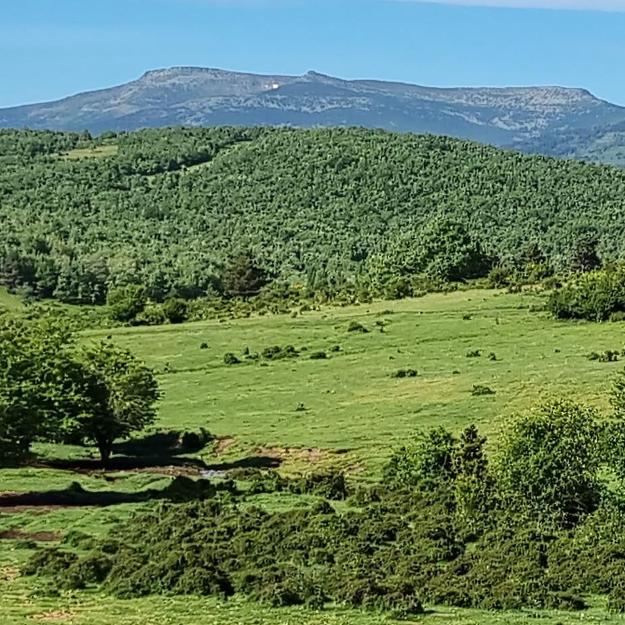
Tips from the Community

One of the most beautiful and unknown places in Soria, recommended at any time of year, although access is more difficult with snow or mud
0
0

I loved it a lot, also close to the area
0
0

Cebollera is the Alto that gives its name to this entire Sierra.
0
0

Hermitage in honour of the Virgen de las Angustias. The pilgrimage takes place on the first weekend of July, when the residents of the towns of Almarza and San Andrés take advantage of the opportunity to hold a day of brotherhood around this event.
0
0
Access via a track in very good condition with a considerable slope. From the base of the track to the lagoon is 1.1 km.
0
0

Beautiful Soriano town known as Valdeavellano de Tera, where we can see the Catholic parish church of Nuestra Señora de la Paz, patron saint of Valdeavellano de Tera. One km from the town we can visit the Hermitage of Nuestra Señora de las Espinillas.
1
0
Located on a hillside, the Castro de Las Espinillas was in the past, a fortified town (S.VI and V ac). In the place we will find an information panel that will give us more details about the place.
1
0
Frequently Asked Questions
What types of hiking trails can I find around La Póveda de Soria?
La Póveda de Soria offers a diverse range of hiking trails, from easy walks through dense forests to more challenging routes in mountainous regions. The area is characterized by its connection to the Sierra de Cameros and the Parque Natural Sierra Cebollera, providing varied terrain suitable for different ability levels. You'll find routes through leafy forests with ancient trees, significant peaks, and even steep canyons.
Are there any easy, family-friendly hikes in the area?
Yes, there are several easy trails suitable for families. An excellent option is the Senda del Acebal Trail, an easy 3.4-mile (5.5 km) path that takes about 1 hour 36 minutes to complete and leads through a notable holly grove. Another easy circular option is the Cebollera Lagoon loop from Laguna, which is about 2.7 miles (4.4 km) long.
What natural features or landmarks can I explore on the trails?
The region is rich in natural features. You can discover the unique Acebal de Garagüeta Nature Reserve, known for its holly trees. Hikers can also visit the serene Cebollera Lagoon or explore areas with waterfalls like Cascada Mayor de Puente Ra. The Puerto de Piqueras offers expansive views, and the Camino los Santos leads to the ruins of an abandoned village.
Are there any circular hiking routes available?
Yes, circular routes are available. For a more challenging option, consider the Ermita Santos nuevos y Alto de Tabanera – circular desde San Andrés de Soria, a 13.9-mile (22.5 km) trail. For a moderate circular hike, the Cebollera Lagoon loop from Bercolar covers about 5 miles (8.2 km).
What is the best time of year to go hiking in La Póveda de Soria?
La Póveda de Soria offers hiking opportunities throughout much of the year. The diverse forested areas and mountainous regions are particularly beautiful in spring and autumn with changing foliage. The region also has potential for winter activities like cross-country skiing, suggesting that trails can be enjoyed in colder months, though conditions may vary.
What do other hikers enjoy most about the trails in La Póveda de Soria?
The trails around La Póveda de Soria are highly rated by the komoot community, with an average score of 3.75 stars from 5 reviews. Hikers often praise the varied terrain, from dense forests to mountainous landscapes, and the connection to significant natural areas like the Sierra de Cameros and Parque Natural Sierra Cebollera.
Are there any dog-friendly trails in La Póveda de Soria?
While specific dog-friendly designations are not always listed, the natural and extensive trail network in La Póveda de Soria generally welcomes dogs, especially on less crowded routes. It's always recommended to keep dogs on a leash and follow local regulations to protect wildlife and ensure a pleasant experience for all hikers.
Can I find trails that offer views of the Sierra de Cameros?
Yes, the region is strategically located to offer views of the Sierra de Cameros. Traditional 'palomeros' (dovecote) posts in the high sierra provide expansive vistas of this mountain range, making it a great area for scenic hikes.
Are there any trails that pass through unique natural tunnels or features?
Yes, on the way to Barriomartín, hikers can experience a unique natural feature: a dense holly tunnel. This natural shelter for livestock offers a distinctive and memorable experience for those exploring the area between La Póveda and Barriomartín.
What is the longest and most challenging hike in the area?
The most challenging and longest route listed is the Ermita Santos nuevos y Alto de Tabanera – circular desde San Andrés de Soria. This difficult trail spans 13.9 miles (22.5 km) and typically takes around 6 hours 41 minutes to complete, leading through varied landscapes and a high point.
Are there any historical sites or abandoned villages to explore on hikes?
Yes, the Camino los Santos, starting from La Póveda, leads to the ruins of an abandoned village that shares the same name as the path. This village is approximately 120 years old and offers a glimpse into the region's past.
Most popular routes around La Póveda De Soria
Most popular attractions around La Póveda De Soria

Get inspired with the komoot mobile app


Explore more
Browse the best Hikes in other regions.
