The best walks and hikes around Entrambasaguas
4.3
(212)
444
hikers
33
hikes
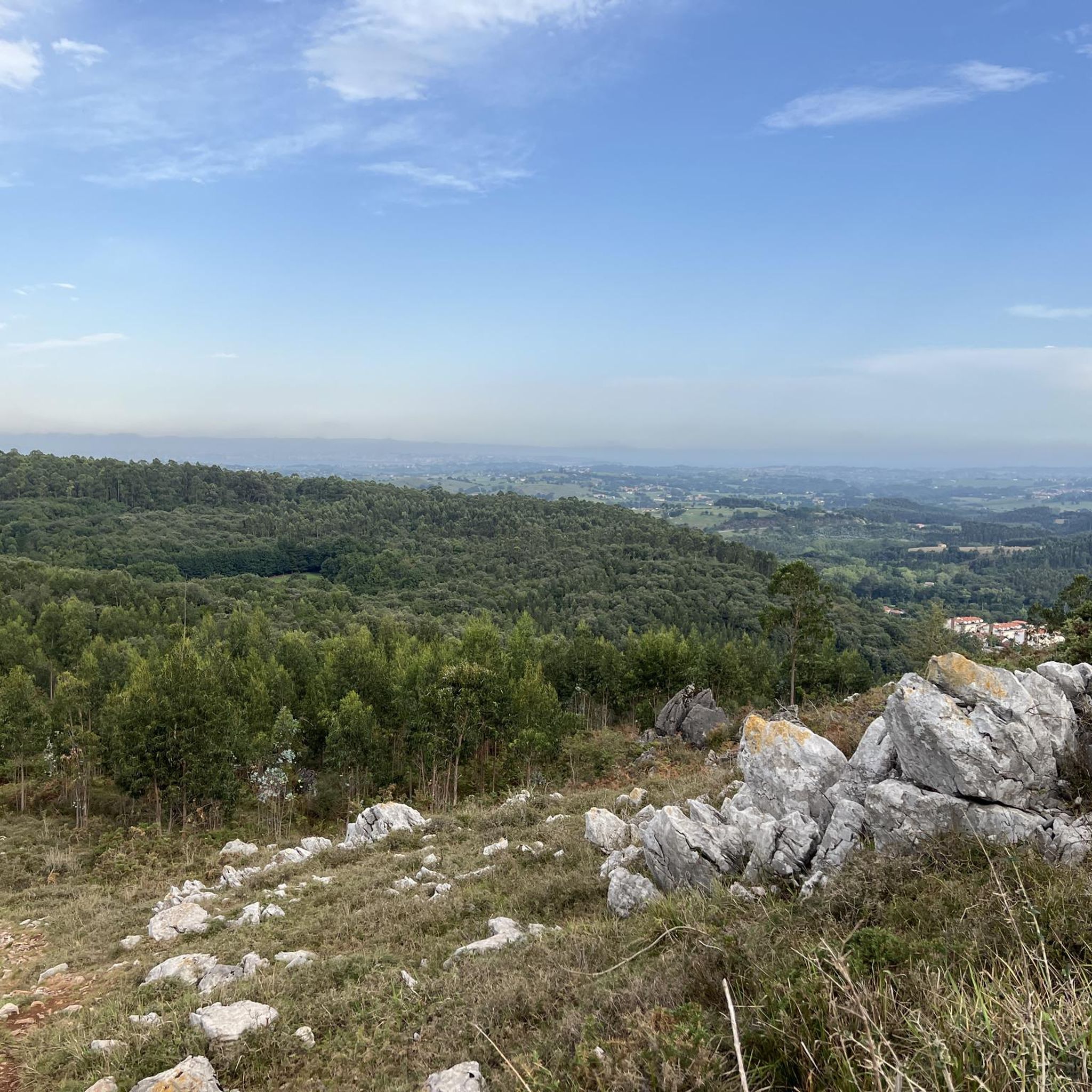
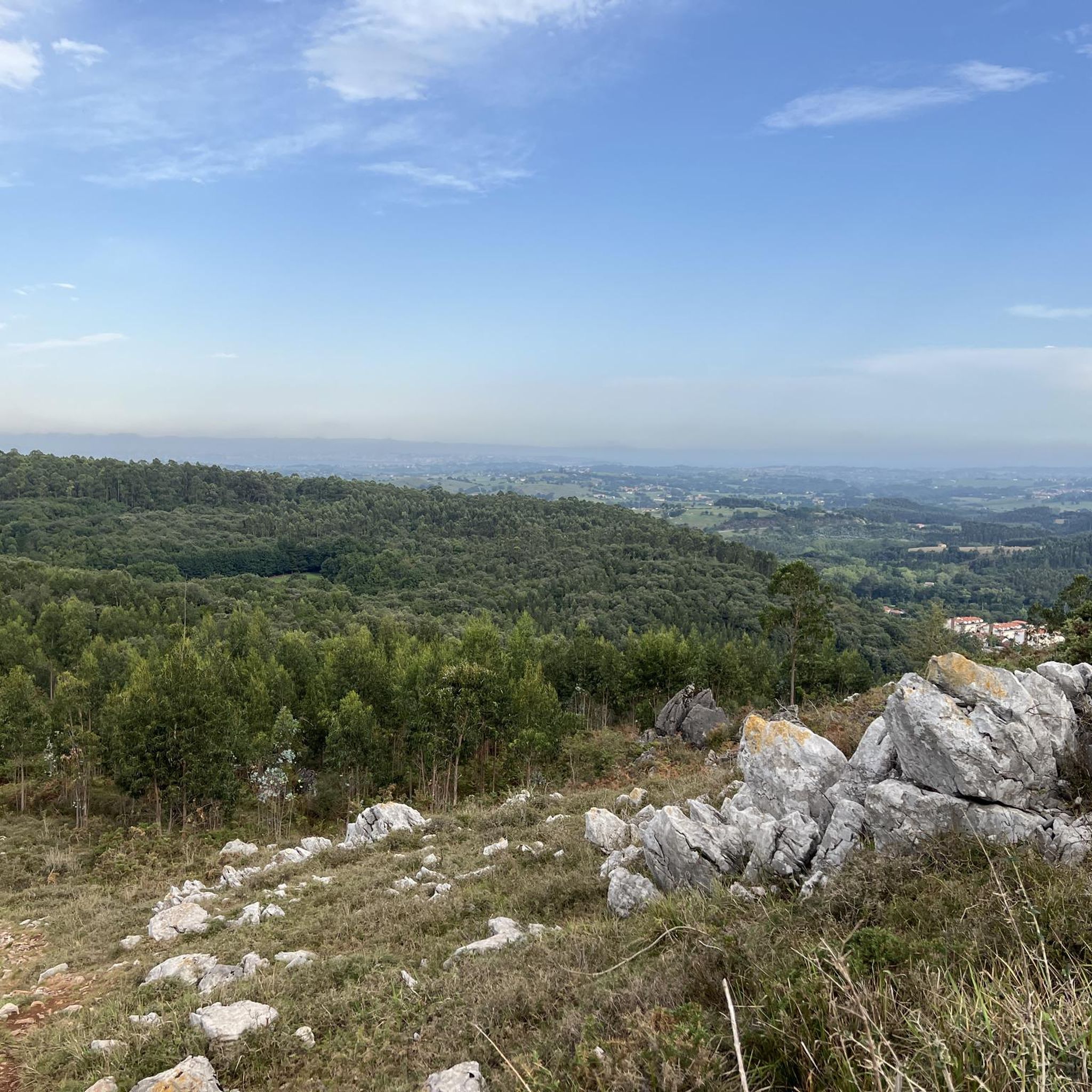
Hiking around Entrambasaguas offers diverse natural landscapes, including moderate mountainous reliefs and lush river valleys. The region is characterized by communal forests of eucalyptus, oaks, and pines, alongside the Miera and Aguanaz rivers. Monte Vizmaya, a limestone massif, provides elevated terrain and panoramic views. This varied topography creates a range of hiking experiences.
Best hiking trails around Entrambasaguas
- The most popular hiking route is Pico Vizmaya Trail, a 3.4 miles (5.4 km) trail that takes 1 hour 40 minutes…
Last updated: October 24, 2026
4.0
(6)
17
hikers
5.41km
01:40
190m
190m
Easy hike. Easily walkable paths.
4.2
(5)
24
hikers
8.38km
02:13
80m
80m
Moderate hike. Good fitness required. Easily walkable paths.

4.9
(62)
25
hikers
7.30km
01:54
40m
40m
Easy hike. Easily walkable paths.
2.0
(1)
9
hikers
8.82km
02:27
160m
160m
Moderate hike. Good fitness required. Easily walkable paths.
3.0
(1)
8
hikers
9.39km
02:44
240m
240m
Moderate hike. Good fitness required. Easily walkable paths.
Get access to more routes and recommendations from other explorers.
Already have an account?
Our route recommendations are based on thousands of hikes, rides, and runs completed by other people on komoot.
Start today with a free account
Your next adventure awaits.
Tips from the Community

A shame it is abandoned.
0
0
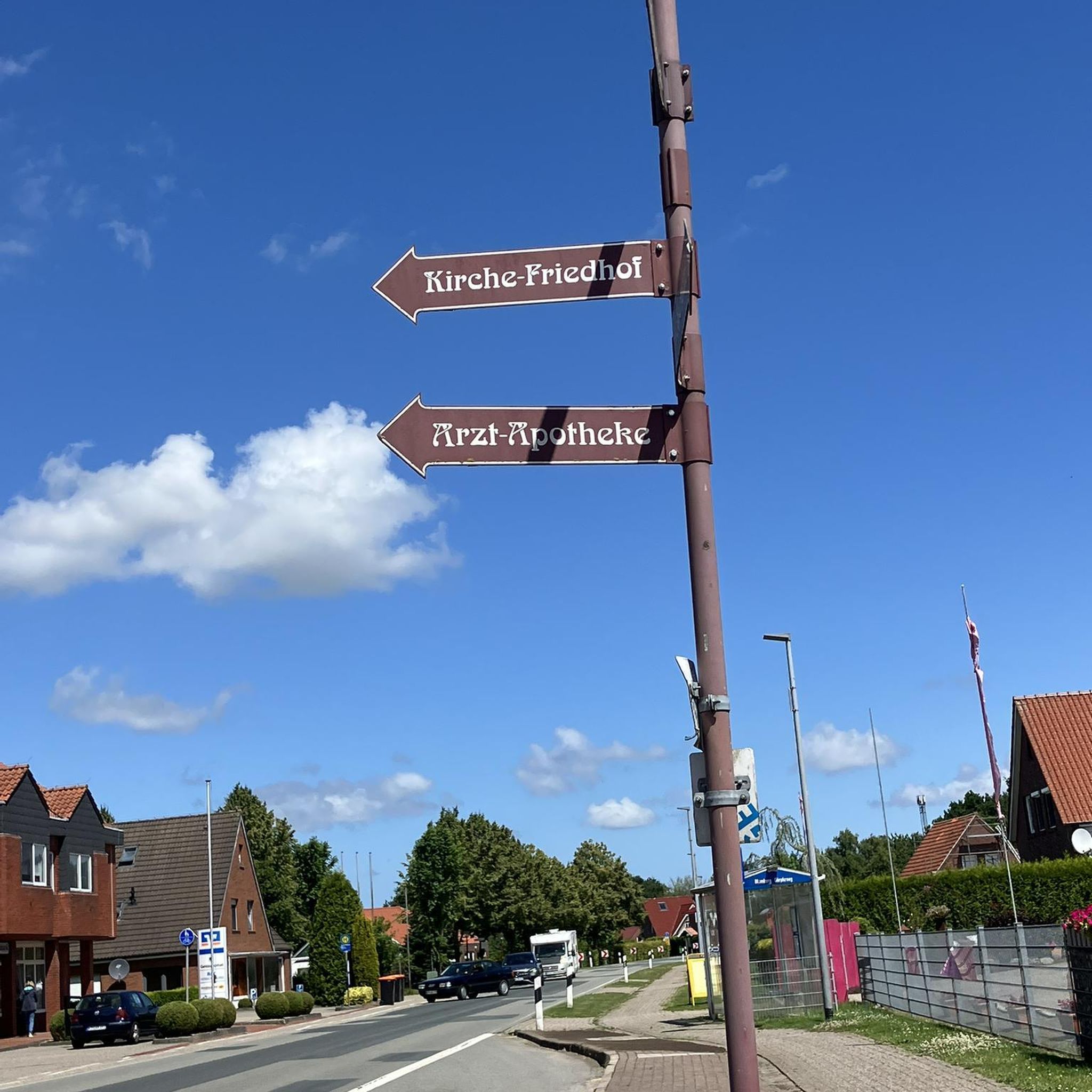
This intersection always seems like a bus stop to me.
1
0
Today, unusually, there weren't hundreds of mosquitoes at the summit.
1
0
Crossroads, not far from the Santa Marina neighborhood.
2
0
Good place to park and climb Vizmaya.
1
0

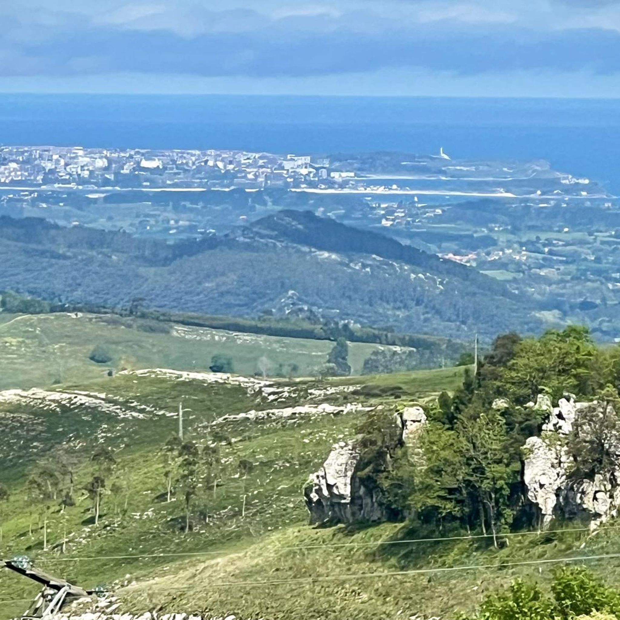
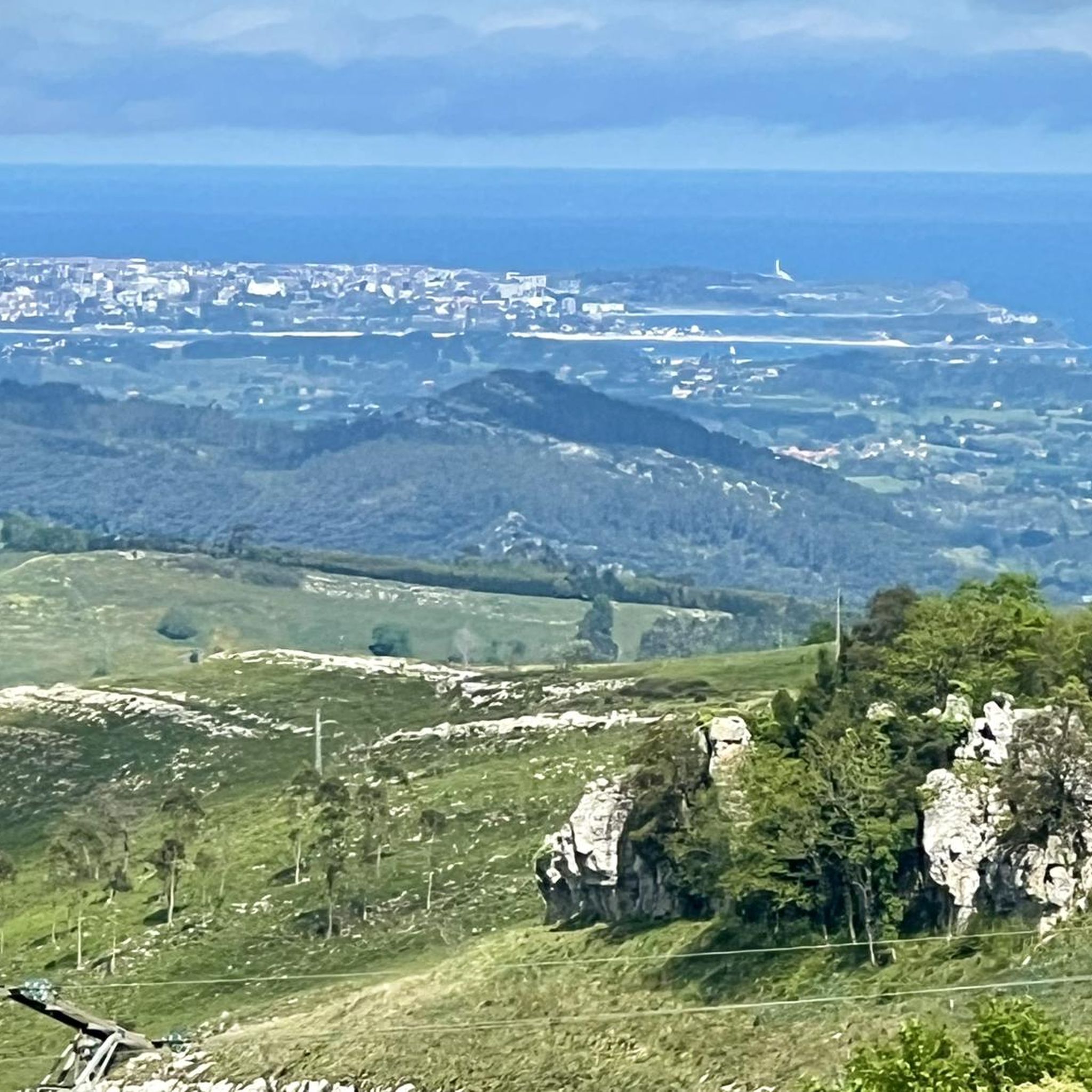
It's best to do the tour when the sun is shining, then you'll get a great view of Santander.
0
0
Frequently Asked Questions
How many hiking trails are available in Entrambasaguas?
Entrambasaguas offers a diverse network of over 30 hiking trails. These routes cater to various preferences, ranging from easy strolls through river valleys to more moderate ascents in the mountainous reliefs.
Are there easy hiking options suitable for beginners or casual walkers?
Yes, approximately half of the trails in Entrambasaguas are rated as easy. A great option for a gentle introduction is the Pico Vizmaya Trail, which is 5.4 km long and offers accessible paths with rewarding views.
Can I find circular hiking routes in Entrambasaguas?
Absolutely. Entrambasaguas features several engaging circular routes. For example, the Devil's Cave – Palacio de los Acevedo loop from Entrambasaguas is a moderate 8.3 km path that allows you to explore natural and historical sites without retracing your steps.
Are there any trails that offer panoramic views?
Yes, Monte Vizmaya is a prominent natural feature known for its panoramic views. The Pico Vizmaya Trail leads to its summit, offering expansive vistas, including views of Santander Bay on clear days.
What kind of natural landscapes can I expect to see while hiking?
Hikers in Entrambasaguas will encounter a rich variety of landscapes. The region boasts moderate mountainous reliefs, lush river valleys formed by the Miera and Aguanaz rivers, and extensive communal forests of eucalyptus, oaks, and pines. You might also spot the rare 'lluvia de oro' tree with its distinctive yellow flowers.
Are there any historical or cultural points of interest along the trails?
Beyond natural beauty, you can discover remnants of 19th-century iron and limestone mining operations. Trails like the Devil's Cave – Palacio de los Acevedo loop from Entrambasaguas pass by historical sites, and Monte Vizmaya itself holds the remains of a Cantabrian castro (fortified settlement).
What do other hikers say about the trails in Entrambasaguas?
The routes in Entrambasaguas are highly regarded by the komoot community, with an average rating of 4.3 stars from over 100 reviews. Hikers often praise the varied terrain, well-maintained paths, and the blend of natural beauty with historical elements.
Are there any trails that feature rivers or water bodies?
Yes, the Miera and Aguanaz rivers traverse the municipality, creating picturesque riparian environments. The Aguanaz River Dam – Devil's Cave loop from Entrambasaguas is a great example, leading you through the Aguanaz River valley and past its dam.
What is the best time of year to go hiking in Entrambasaguas?
Entrambasaguas offers enjoyable hiking experiences throughout much of the year due to its moderate mountainous reliefs and diverse forests. Spring and autumn are particularly pleasant, with mild temperatures and vibrant foliage, while summer provides lush green landscapes along the river valleys.
Are there any attractions nearby that I can visit after a hike?
Yes, there are several notable attractions in the wider region. You could visit the historic Magdalena Palace or the cultural Centro Botín. For those interested in religious architecture, the Cathedral of Our Lady of the Assumption is also within reach.
Are the trails in Entrambasaguas suitable for families with children?
Many of the easy and moderate trails are suitable for families, especially those with a bit of hiking experience. The diverse landscapes and points of interest like the Gruta del Diablo or the remains of the castro on Monte Vizmaya can make for an engaging adventure for children.
What is the typical duration for a hike in Entrambasaguas?
Hikes in Entrambasaguas vary in length and duration. Shorter, easy routes like the Pico Vizmaya Trail can be completed in under two hours, while longer moderate loops, such as the Aguanaz River Dam – Devil's Cave loop, typically take around 2.5 to 3 hours.
Most popular routes around Entrambasaguas
Most popular attractions around Entrambasaguas

Get inspired with the komoot mobile app


Explore more
Browse the best Hikes in other regions.
