The best cycling routes around Guadahortuna
5.0
(2)
64
riders
6
rides
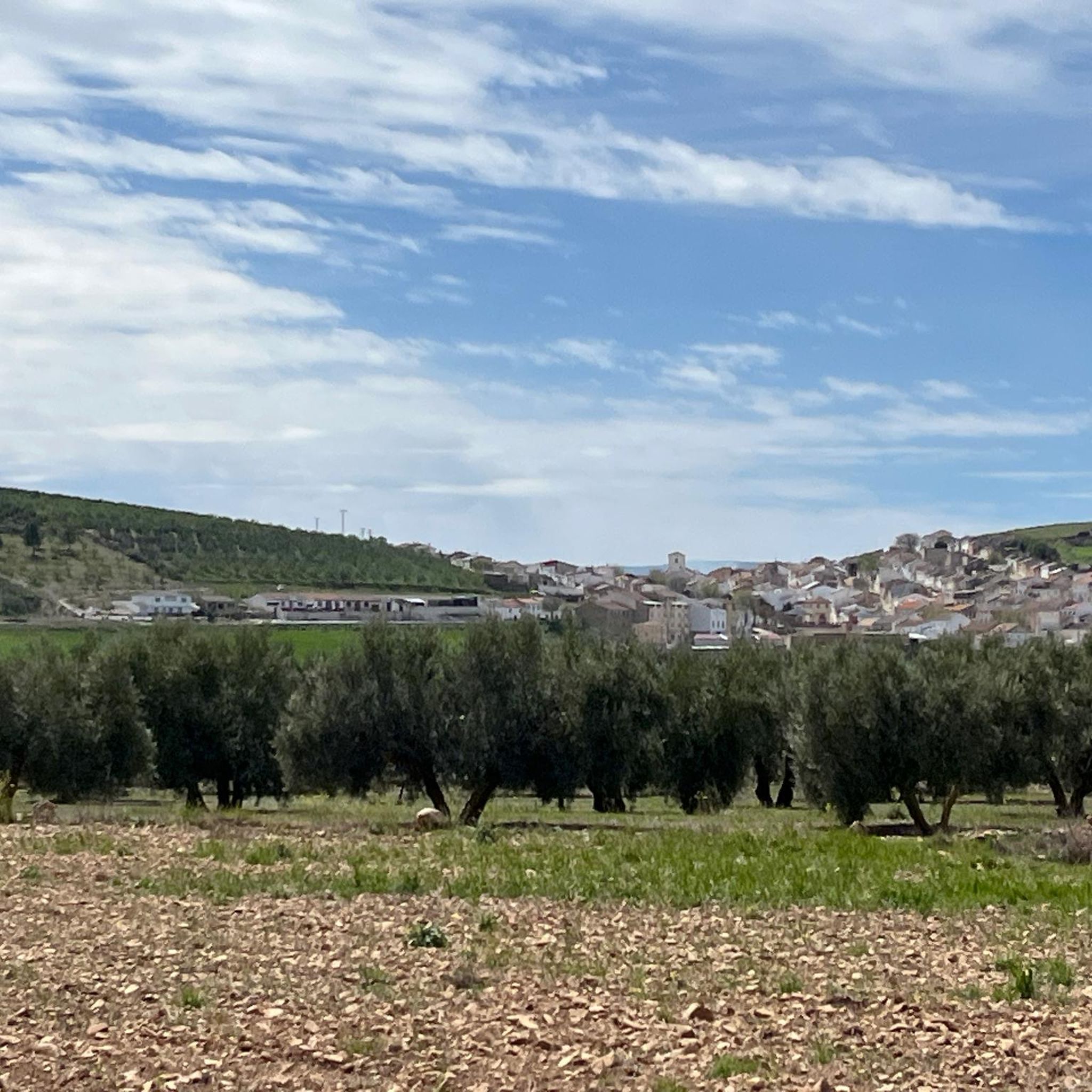
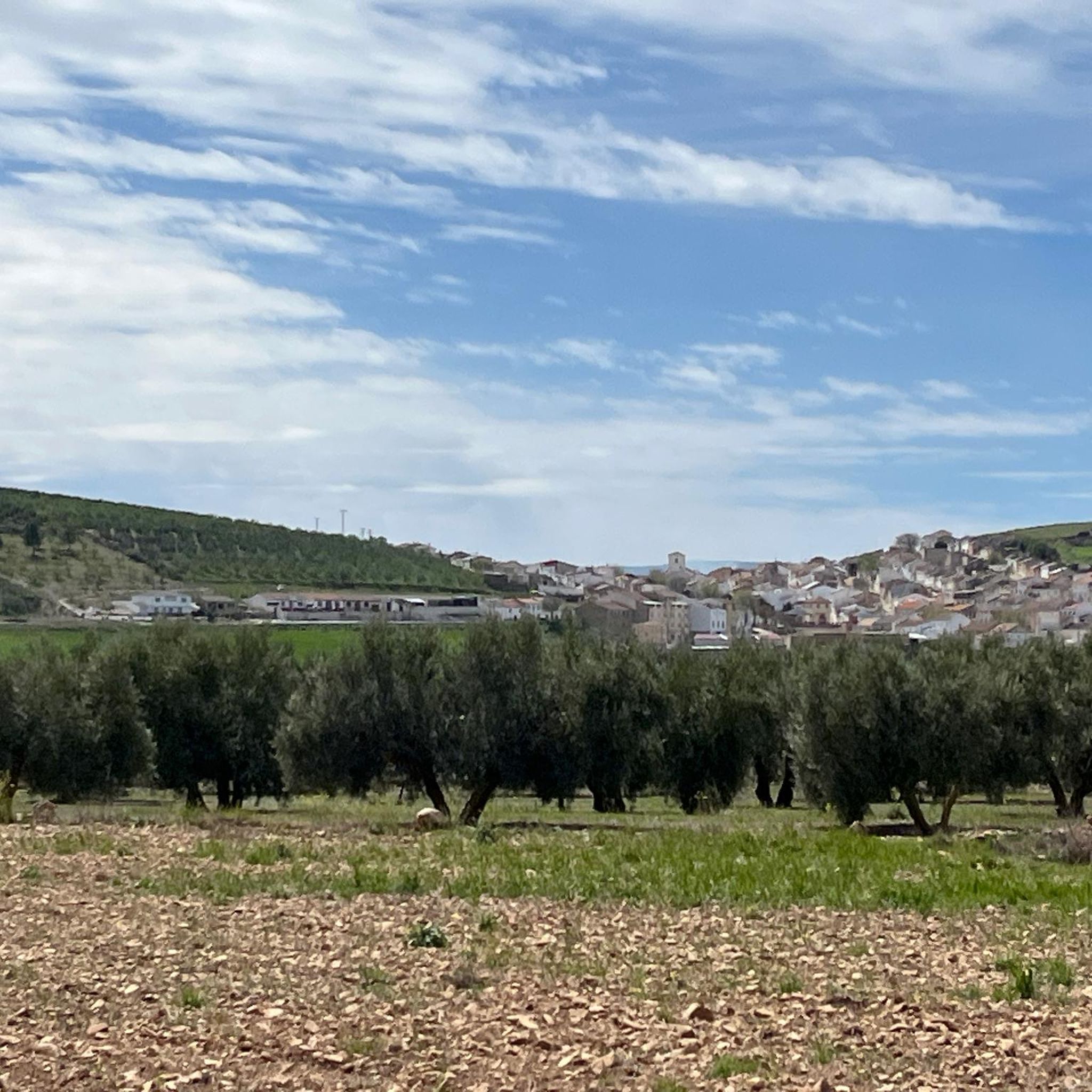
Touring cycling around Guadahortuna offers routes through varied terrain, situated approximately 950 meters above sea level. The region features rolling roads, fertile farmlands, and proximity to mountainous areas, with the village itself on the edge of the Río Guadahortuna. It is part of the Granada Geopark, characterized by unique rock formations and impressive ravines. This area provides a blend of natural beauty and cultural interest for cyclists.
Best touring cycling routes around Guadahortuna
- The most popular touring cycling route is…
Last updated: May 14, 2026
5.0
(1)
17
riders
144km
09:36
1,990m
1,990m
Hard bike ride. Very good fitness required. Mostly paved surfaces. Suitable for all skill levels.
5.0
(1)
9
riders
31.5km
02:56
590m
590m
Hard bike ride. Very good fitness required. Mostly paved surfaces. Suitable for all skill levels.

Sign up for free
9
riders
38.1km
03:34
680m
680m
Hard bike ride. Very good fitness required. Mostly paved surfaces. Suitable for all skill levels.
4
riders
24.8km
02:18
550m
550m
Hard bike ride. Very good fitness required. Mostly paved surfaces. Suitable for all skill levels.
4
riders
62.3km
04:26
1,280m
1,280m
Hard bike ride. Very good fitness required. Mostly paved surfaces. Suitable for all skill levels.
Our route recommendations are based on thousands of hikes, rides, and runs completed by other people on komoot.
Start today with a free account
Your next adventure awaits.
Login or Signup
Popular around Guadahortuna
Tips from the Community

Beautiful resting place along the river, accessible via stairs.
7
0
The Carretera Aguas Blancas in Quéntar, Granada, is a beautiful route that takes you through the natural beauty of the region. It is a popular route for walkers, cyclists and those who enjoy the peaceful atmosphere and beautiful landscapes. The road runs along the Aguas Blancas River and offers impressive views of the Sierra Nevada.
7
0
The Pantano de Quéntar is a reservoir in Quéntar, Granada, built between 1971 and 1975 and officially inaugurated on 11 May 1976. It is located at the confluence of the Aguas Blancas and Padules rivers and has a capacity of 14 million cubic metres. The reservoir plays an important role in the water supply of the city of Granada and the irrigation of the surrounding agricultural lands.
9
0
This place is located on Calle Carrera del Darro, one of the most beautiful walking passages in Granada. This street is located on the left bank of the Darro River. Unfortunately, you are not allowed to cycle here, as a police officer warned us. Here you can see the majestic Alhambra on the slope of the Sabika, surrounded by vegetation.
8
0

a spectacular area with very good roads
0
0
The Embalse de Quéntar, is also known as the Quéntar Reservoir. The reservoir is surrounded by a picturesque landscape and offers a variety of recreational opportunities. Visitors can enjoy activities such as hiking, fishing, and even water sports. The reservoir was built in the 1970s and plays an important role in the water supply of Granada and the surrounding agricultural areas.
1
0
The Ribera del río Genil in Granada is a beautiful place for walking and relaxation. The route runs along the banks of the river Genil, from the Puente Verde in Granada to the Presa de Canales in Pinos Genil. It offers an atmospheric setting with forests of galleries and an abundance of natural beauty, especially in autumn with the colourful leaves.
9
0

very beautiful city you should see
2
0
Frequently Asked Questions
How many touring cycling routes are available around Guadahortuna, and what are their difficulty levels?
There are 6 touring cycling routes available around Guadahortuna. Most of these, 5 out of 6, are classified as difficult, offering significant elevation gains and challenges. There is also 1 moderate route for those seeking a slightly less strenuous ride.
What is the best time of year for touring cycling in Guadahortuna?
Guadahortuna, situated at approximately 950 meters above sea level, offers varied terrain. The region generally experiences pleasant conditions for cycling during spring and autumn, when temperatures are milder. Summer can be warm, while winter might bring cooler weather, though the quiet roads are often enjoyable year-round.
Are there any notable landmarks or scenic viewpoints to discover on touring cycling routes near Guadahortuna?
Yes, the area is rich in both natural and historical sights. You can encounter impressive geological features as part of the Granada Geopark. A significant historical landmark is the Puente del Hacho, an old metal viaduct. Other points of interest include the charming town of Iznalloz, the Fuente Cabra waterfall, and the historic Castillo de Huelma. One route, the Mirador de la Escalerilla loop from Pedro Martínez, even has a viewpoint in its name.
Are there circular touring cycling routes available in Guadahortuna?
Yes, all the touring cycling routes listed for Guadahortuna are designed as loops, allowing you to start and finish at the same point. This includes routes like the Huelma loop from Huelma and the Quéntar Reservoir – Genil Riverbank (Granada) loop from Moreda, providing convenient options for exploration.
Are there family-friendly touring cycling routes in Guadahortuna?
While Guadahortuna offers beautiful landscapes, most of the touring cycling routes are classified as difficult due to significant elevation changes. There is 1 moderate route, but no easy routes are currently listed. Families with younger children or those seeking very gentle rides might find the terrain challenging. It's advisable to check the elevation profile and distance of specific routes before heading out with family.
Can I bring my dog on touring cycling routes in Guadahortuna?
Guadahortuna's touring cycling routes traverse natural landscapes, farmlands, and quiet roads. Generally, dogs are welcome in outdoor areas, especially on trails that are not within strictly protected zones. Always keep your dog under control, especially when passing through agricultural areas or near livestock, and ensure you clean up after them. There are no specific restrictions mentioned for dogs on these routes.
Are there options for longer touring cycling routes in the Guadahortuna area?
Yes, for cyclists looking for a longer challenge, the Quéntar Reservoir – Genil Riverbank (Granada) loop from Moreda is a substantial option. This difficult route covers approximately 144.4 km (89.7 miles) and typically takes over 9 hours to complete, exploring diverse riverbank and reservoir areas.
Where can I find parking or access public transport for touring cycling routes in Guadahortuna?
The Guadahortuna region is known for its quiet roads, making it generally accessible for cyclists. For routes starting from specific towns like Huelma or Pedro Martínez, you can usually find parking within the village centers. Public transport options might be limited to bus services connecting larger towns in the Granada province, so planning your start and end points with a vehicle is often the most convenient way to access these routes.
What do other touring cyclists enjoy the most about touring cycling in Guadahortuna?
The touring cycling routes in Guadahortuna are highly rated by the komoot community, with an average score of 5.0 stars. Cyclists often praise the scenic farmlands, the unique geological features of the Granada Geopark, and the exceptionally quiet roads that provide a peaceful and safe cycling environment. The varied terrain, with its rolling roads and proximity to mountainous areas, also offers a rewarding experience.
Are there any routes that offer a significant challenge for experienced touring cyclists?
Absolutely. Many of the routes in Guadahortuna are classified as difficult, featuring substantial elevation gains. For instance, the Cambil – Huelma loop from Huelma covers over 61 km with more than 1200 meters of elevation gain, providing a demanding ride through the local countryside.
What kind of landscapes can I expect to see while touring cycling around Guadahortuna?
You can expect a diverse range of landscapes. The routes traverse rolling roads, fertile farmlands, and areas close to mountains. Being part of the Granada Geopark, you'll also encounter unique rock formations and impressive ravines. The region's name, 'river of the orchards,' hints at the picturesque agricultural surroundings, offering a blend of natural beauty and cultural interest.
Are there any routes that focus on agricultural landscapes?
Yes, several routes highlight the region's agricultural character. The Mirador de la Escalerilla loop from Pedro Martínez, for example, leads through extensive agricultural landscapes, offering views of the fertile surroundings that define much of Guadahortuna.
Most popular attractions around Guadahortuna

Get inspired with the komoot mobile app


Explore more
Browse the best Cycling routes in other regions.
