The best MTB trails around Guadahortuna
5.0
(7)
75
riders
4
rides
Mountain biking around Guadahortuna features a landscape characterized by rolling hills, extensive olive groves, and rural tracks. The terrain primarily consists of moderate ascents and descents, suitable for mountain bikers seeking varied challenges. The region offers routes that navigate through agricultural areas and provide occasional viewpoints.
Best mountain bike trails around Guadahortuna
- The most popular mountain bike trail is Mirador de la Escalerilla loop from Pedro Martínez, a 27.6 miles (44.5 km) trail that takes about 4 hours 8 minutes to complete, offering panoramic views.
- Another top favourite among local mountain bikers is Las Borregueras Olive Groves – Huelma loop from Huelma, a moderate 16.8 miles (27.0 km) path. This route traverses through extensive olive groves and rural scenery.
- Local mountain bikers also love the Huelma loop from Huelma, a 12.9 miles (20.8 km) trail leading through agricultural landscapes, often completed in about 1 hour 58 minutes.
- Mountain biking around Guadahortuna is defined by rolling hills, olive groves, and rural tracks. The network offers options for both easy and moderate ability levels.
- The routes in Guadahortuna are highly rated by the komoot community with an average score of 5.0 stars from more than 5 reviews. More than 80 mountain bikers have used komoot to explore Guadahortuna's varied terrain.
Last updated: July 4, 2026
17
riders
44.5km
04:08
800m
800m
Moderate mountain bike ride. Good fitness required. Suitable for all skill levels.
5
riders
27.7km
02:27
570m
570m
Moderate mountain bike ride. Good fitness required. Advanced riding skills necessary.

Sign up for free
4
riders
19.7km
01:51
430m
430m
Moderate mountain bike ride. Good fitness required. Suitable for all skill levels.
5.0
(2)
2
riders
22.7km
01:46
320m
320m
Moderate mountain bike ride. Good fitness required. Suitable for all skill levels.
3
riders
40.5km
03:13
750m
750m
Moderate mountain bike ride. Good fitness required. Suitable for all skill levels.
Our route recommendations are based on thousands of hikes, rides, and runs completed by other people on komoot.
Start today with a free account
Your next adventure awaits.
Login or Signup
Popular around Guadahortuna
Tips from the Community

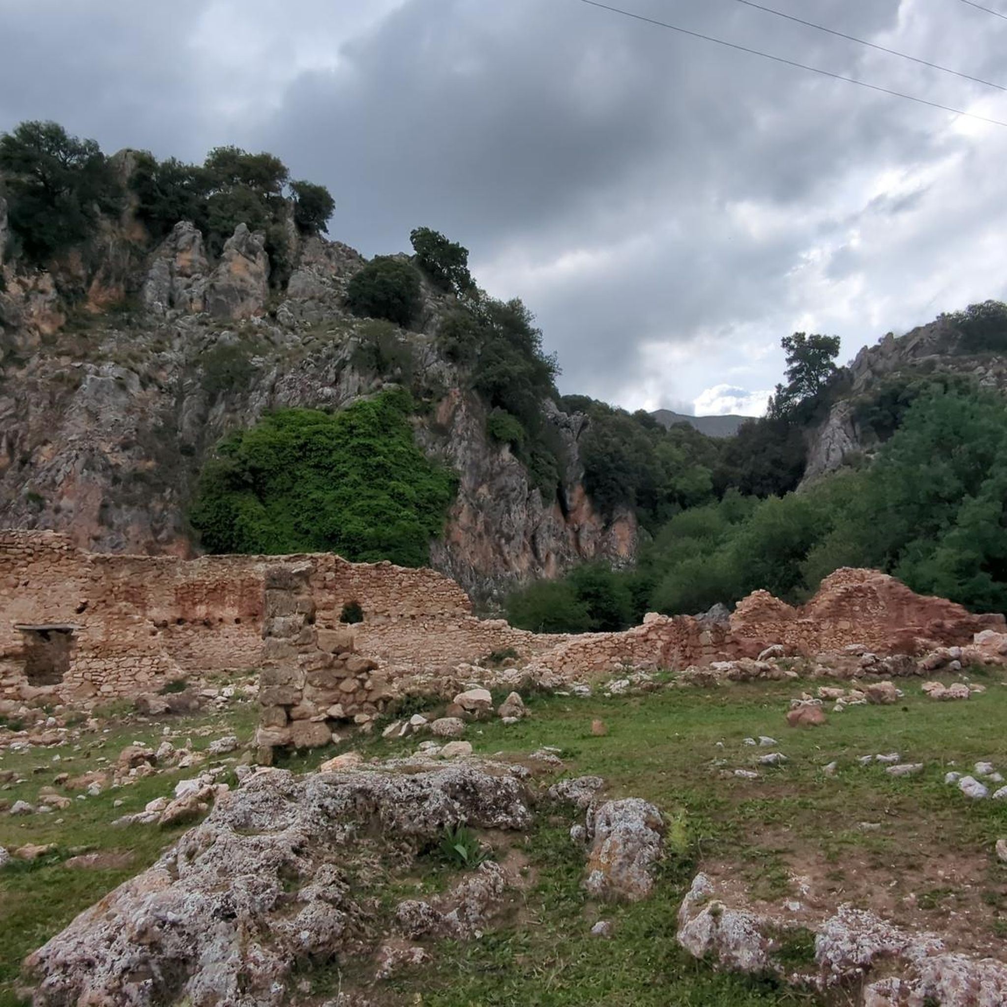
This name is from an ancient spring that has supplied water to the town of Montejícar since the dawn of time. When homes lacked a supply of drinking water, residents came to this point to bring water to their homes since ancient times. Nowadays, homes have drinking water and the municipality has carried out water surveys near the spring so that its visible flow has decreased considerably because the drilling was carried out at a water table lower than the normal spring flow, in addition to the fact that rainfall has recently decreased considerably.
21
0

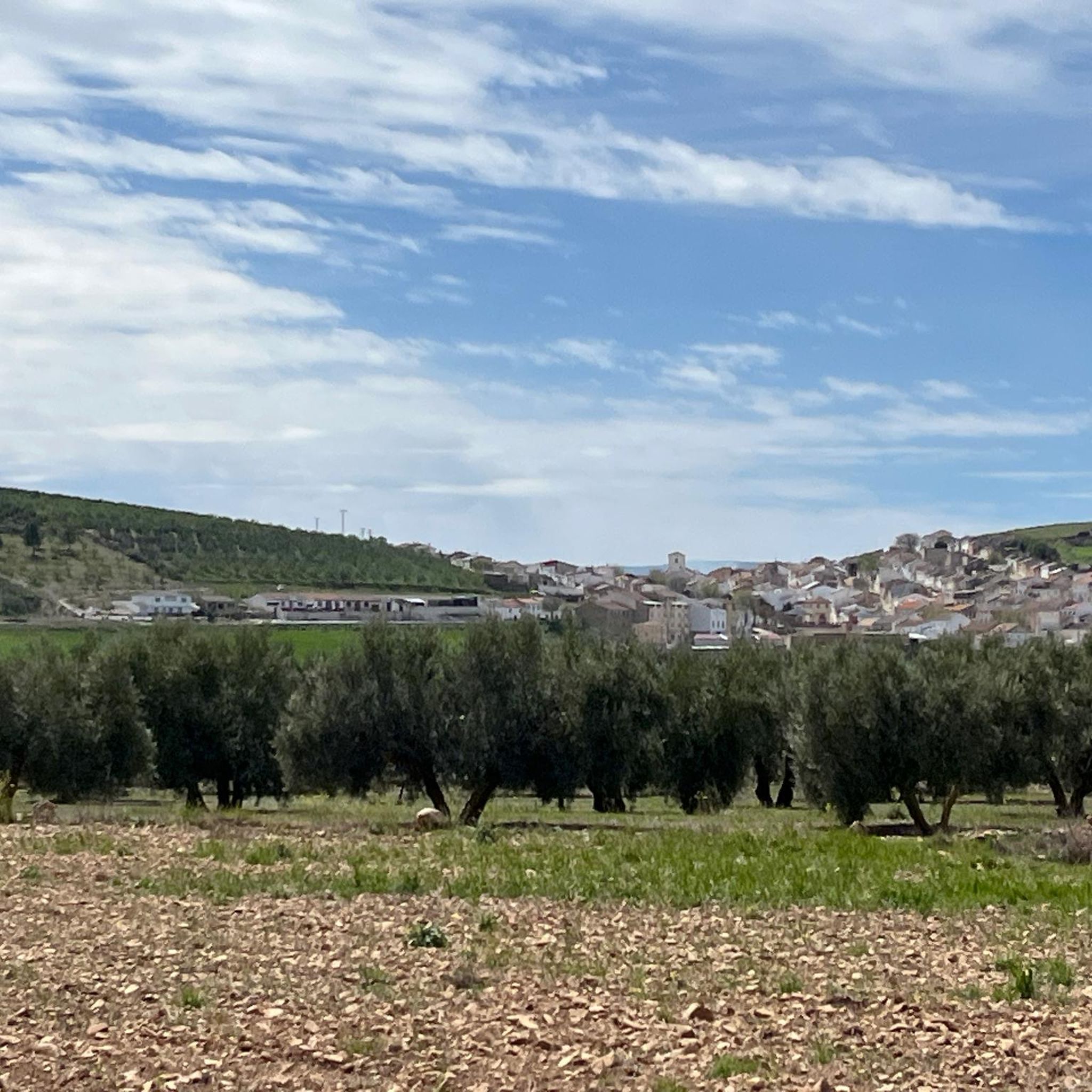
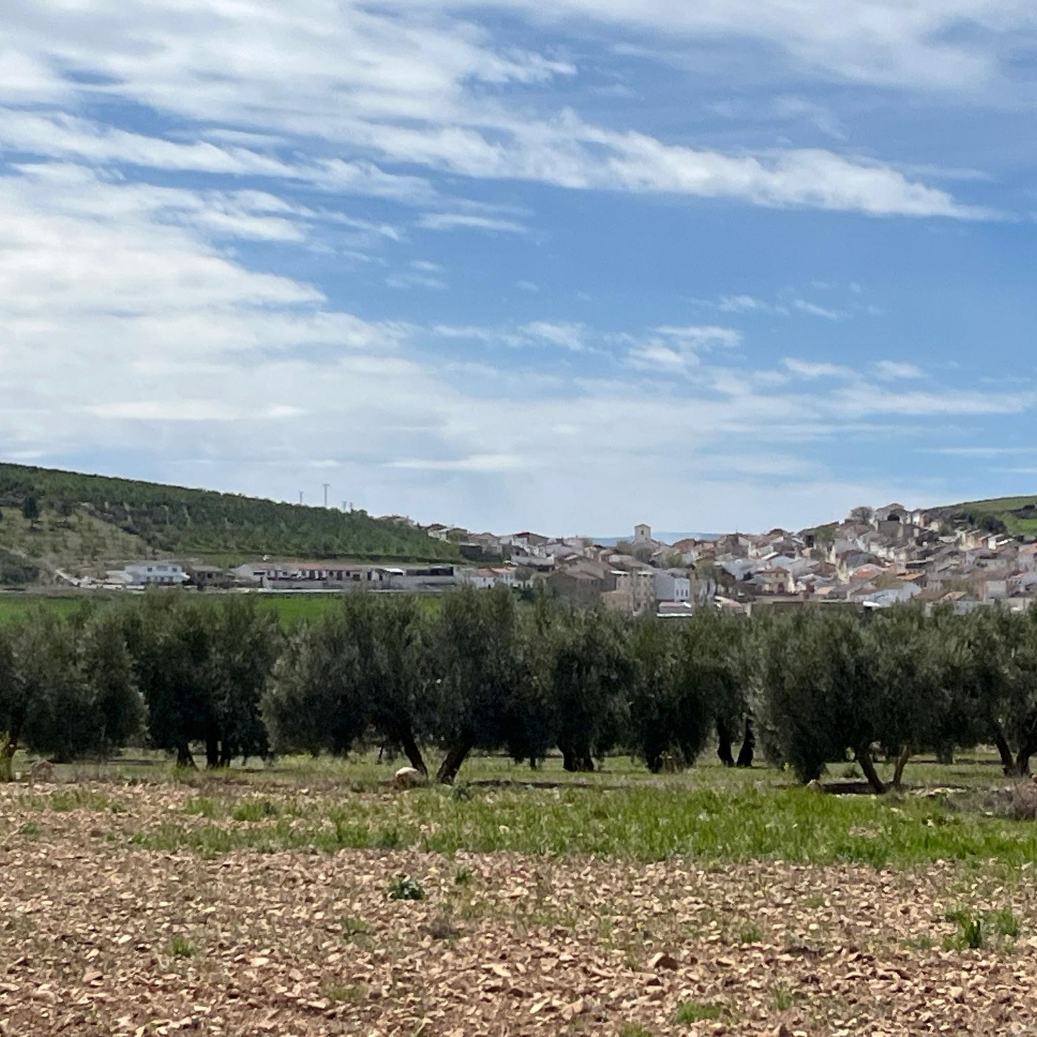
At the top of the hill that shelters the town stands the castle of Huelma, a 15th-century Christian work carried out after the conquest of the previous Muslim castle in 1438. The town of Huelma is located to the south of Sierra Mágina, in a strategic position between Bélmez, Solera, Cambil and Montejícar, preserving the steps that led to Granada from Jandulilla.
3
0

Road that comes from the town of Huelma and winds its way up to Montejícar, where along the way you can see the set of olive tree plantations.
0
0
Huelma is a small town that is sheltered by the Loma de las Viñas, a small mountain where the Castillo de los Duques de Alburquerque is located, and where it can be seen from all points of the town.
1
0

Nice fountain with waterfall. Very rich and fresh water. Although there is a sign of non-potable water to save the maintenance, it has been drunk since time immemorial by all the residents of Montejicar, and its quality is greatly appreciated.
1
0
Land located west of Huelma, in the direction of Cambil by land lane, where are the farmhouses of the low sheep and the high sheep
1
0
Frequently Asked Questions
How many mountain bike trails are available around Guadahortuna?
There are 5 mountain bike trails documented around Guadahortuna on komoot. These routes offer a variety of experiences through the region's characteristic rolling hills and olive groves.
Are there any easy mountain bike trails in Guadahortuna?
While most routes are rated moderate, the area is generally suitable for mountain bikers seeking varied challenges with moderate ascents and descents. The intro mentions options for both easy and moderate ability levels, suggesting that even the moderate trails are accessible for those with some experience.
What is the typical length and duration of mountain bike trails in Guadahortuna?
The mountain bike trails around Guadahortuna vary in length and duration. For example, the Mirador de la Escalerilla loop from Pedro Martínez is 27.6 miles (44.5 km) and takes about 4 hours 8 minutes, while the Huelma loop from Huelma is 12.9 miles (20.8 km) and can be completed in about 1 hour 58 minutes.
Are there any advanced or difficult mountain bike trails in Guadahortuna?
Currently, there are no trails explicitly rated as 'difficult' in the Guadahortuna area. The routes primarily consist of moderate ascents and descents, making them suitable for intermediate riders or those looking for a good workout without extreme technical challenges.
Are there circular mountain bike routes available?
Yes, many of the mountain bike routes around Guadahortuna are designed as loops. Examples include the Las Borregueras Olive Groves – Huelma loop from Huelma, the Huelma loop from Huelma, and the Fuente Cabra loop from Montejícar, all offering convenient circular journeys.
What kind of scenery can I expect on the mountain bike trails?
The mountain bike trails in Guadahortuna primarily traverse a landscape characterized by rolling hills, extensive olive groves, and rural tracks. You'll ride through agricultural areas and encounter occasional viewpoints, offering scenic vistas of the surrounding countryside.
Are there any viewpoints along the mountain bike trails?
Yes, some routes offer notable viewpoints. The Mirador de la Escalerilla loop from Pedro Martínez, for instance, is known for providing panoramic views of the area.
What are some interesting landmarks or attractions near the mountain bike trails?
While mountain biking, you might encounter several interesting points. Nearby attractions include the town of Iznalloz, the historic Puente del Hacho, and the natural spring of Fuente Cabra. You can also find the La Teja Washhouse and the ancient Castillo de Huelma.
What do other mountain bikers enjoy most about mountain biking in Guadahortuna?
The area is highly rated by the komoot community, with an average score of 5.0 stars from more than 7 reviews. Mountain bikers often praise the varied terrain, the peaceful rides through olive groves, and the well-maintained rural tracks that define the region's cycling experience.
Is Guadahortuna suitable for family-friendly mountain biking?
The trails around Guadahortuna are generally characterized by moderate ascents and descents, making them accessible for families with some mountain biking experience. While there isn't a specific 'easy' trail listed, the overall terrain is not overly technical, offering enjoyable rides through agricultural landscapes.
What is the best time of year for mountain biking in Guadahortuna?
Given the region's climate, spring (April-May) and autumn (September-October) are generally the most pleasant times for mountain biking in Guadahortuna. Temperatures are milder, and the landscape is often at its most vibrant. Summers can be very hot, and winters can be cooler and wetter, though riding is possible year-round with appropriate gear.
Are dogs allowed on the mountain bike trails in Guadahortuna?
Generally, dogs are permitted on public trails in rural areas like Guadahortuna, especially on the rural tracks and through olive groves. However, it's always recommended to keep dogs under control, especially when passing through agricultural land or near livestock, and to check for any specific local regulations or signage.
Most popular attractions around Guadahortuna

Get inspired with the komoot mobile app


Explore more
Browse the best MTB trails in other regions.
