The best walks and hikes around Villanueva De La Serena
4.2
(9)
134
hikers
48
hikes
Hiking around Villanueva De La Serena offers diverse trails through the Extremaduran landscape. The region features a mix of agricultural plains, river systems like the Guadiana, and historical sites such as Magacela Castle. Hikers can explore areas with ancient dolmens, canals, and natural lagoons, providing varied terrain for outdoor activities.
Best hiking trails around Villanueva De La Serena
- The most popular hiking route is Dolmen de Magacela — circular por la Laguna de los Santos, an easy 2.6 miles…
Last updated: May 27, 2026
Hard hike. Very good fitness required. Easily-accessible paths. Suitable for all skill levels.
18.1km
04:39
80m
80m
Hike the moderate 11.2-mile Guadiana Natural Trail: Villanueva de la Serena Loop, featuring diverse landscapes and birdwatching opportunitie

Sign up for free
17
hikers
9.27km
02:23
50m
50m
Moderate hike. Good fitness required. Easily-accessible paths. Suitable for all skill levels.
2
hikers
4.10km
01:04
20m
20m
Easy hike. Great for any fitness level. Easily-accessible paths. Suitable for all skill levels.
2
hikers
20.8km
05:23
120m
120m
Hard hike. Very good fitness required. Easily-accessible paths. Suitable for all skill levels.
Get access to more routes and recommendations from other explorers.
Sign up for free
Already have an account?
Our route recommendations are based on thousands of hikes, rides, and runs completed by other people on komoot.
Start today with a free account
Your next adventure awaits.
Login or Signup
Popular around Villanueva De La Serena
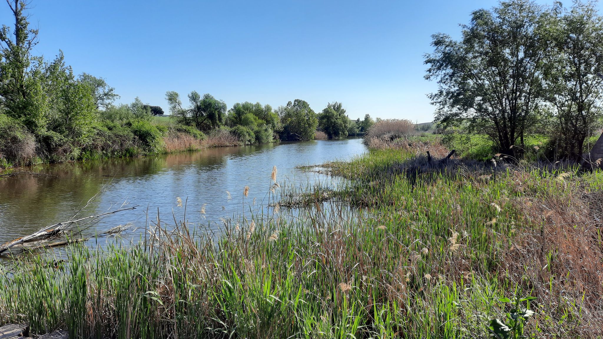
The magic of an endless river – Spain's Guadiana Natural Trail (GR 114)
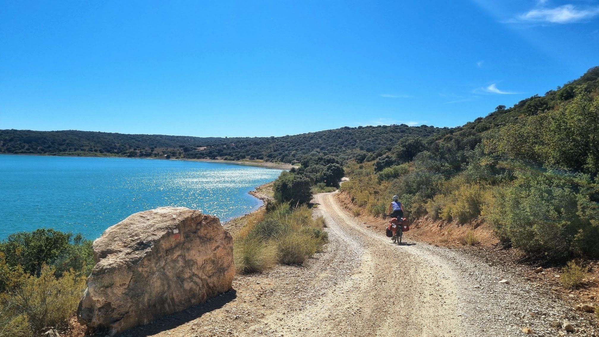
Pedalea junto al gran río — Camino Natural del Guadiana
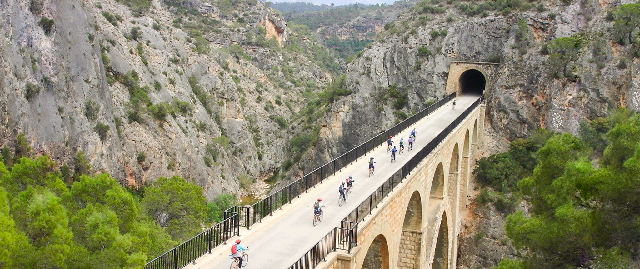
Vías Verdes – traffic-free cycling along railway history in Spain
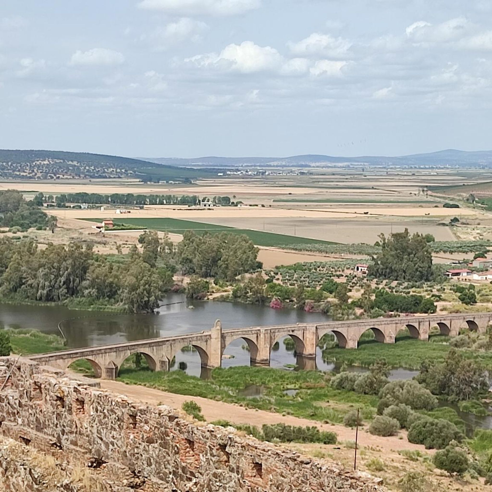
Cycling around Villanueva De La Serena
MTB Trails around Villanueva De La Serena
Running Trails around Villanueva De La Serena
Road Cycling Routes around Villanueva De La Serena

Gravel biking around Villanueva De La Serena
Other adventures around Villanueva De La Serena


Tips from the Community

Villanueva de la Serena (Badajoz, Extremadura) is a dynamic city with much to offer in terms of both history and leisure. Heritage and Culture Plaza de España: the city's central square, with historic buildings and a lively atmosphere. Church of the Assumption: an 18th-century Baroque church, one of the most representative in the area. Ethnographic Museum: showcases traditional life and local history. Las Vegas Theatre: a cultural venue with a diverse program.
3
0
Entrerríos Beach is a charming place located on the right bank of the Zújar River, near Villanueva de la Serena, in Extremadura. Here you can enjoy a natural environment with a grass area, shade provided by trees, a beach bar, picnic area and a children's playground. It is perfect for a day of bathing and recreation in good company. Definitely worth a visit! 😊
2
0
The Vegas del Guadiana to Las Villuercas Greenway is a 57.7 kilometer stretch that runs through the provinces of Badajoz and Cáceres in Extremadura, Spain. This greenway partially follows the route of the unfinished Talavera de la Reina-Villanueva de la Serena railway line. Throughout this route, you will be able to enjoy areas of special protection for birds and impressive natural landscapes. The history of this railway line is curious and sad: although monumental tunnels and viaducts were built, it was never operational due to the Civil War and other factors. Now, the Greenway offers a unique experience for hiking, cycling and horseback riding. Definitely worth exploring! 😊
2
0

Beautiful road that connects both towns and is constantly surrounded by agricultural fields with panoramic views of the area. La Vereda is one of those old paths that have been used for many years!
2
0
Beautiful church of Nuestra Señora de la Asunción where it is located in the middle of the center and whose height makes it visible upon arrival. Next to the center of Don Benito, Villanueva de la Serena is an important town.
2
0
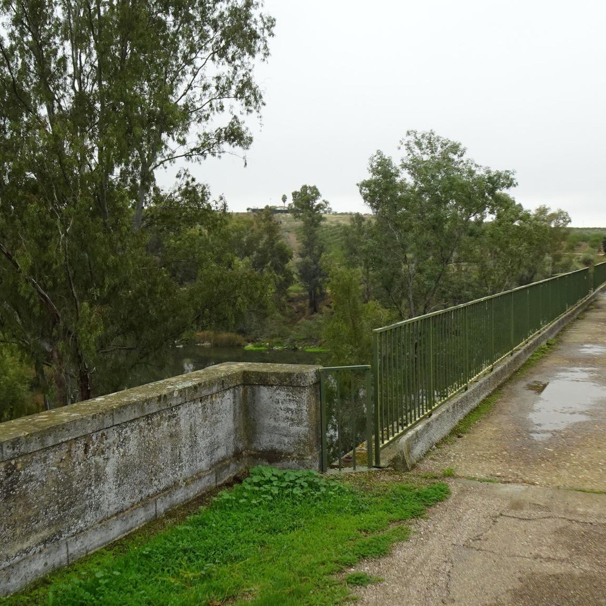
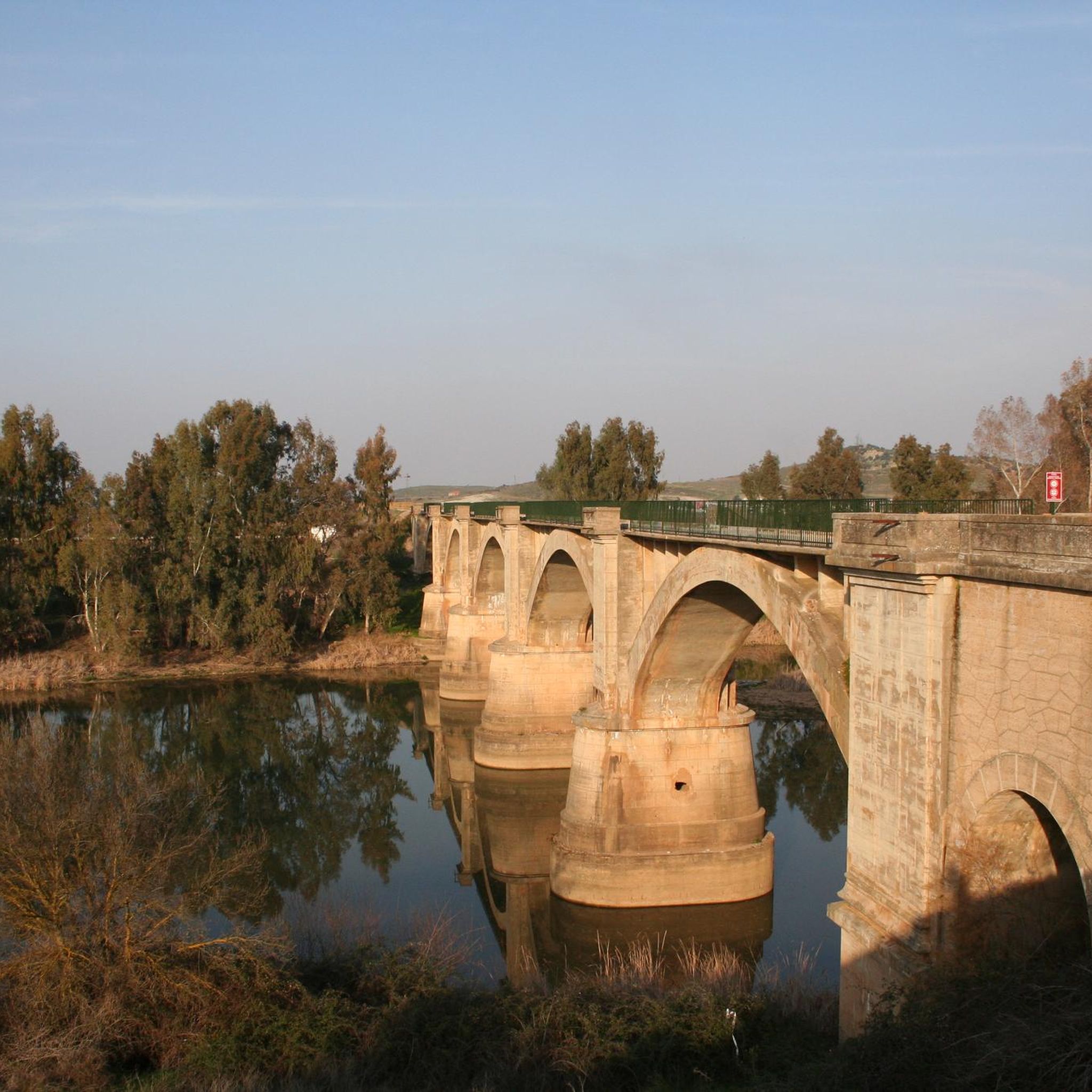
Bridge that allows us to cross to the other side of the Río Guadiana and that is pedestrian. It's worth getting there! It is part of the greenway that goes to Villanueva de la Serena.
2
0

Ideal to rest in its shadows. have a snack in its beach bar and take a refreshing bath in its waters of the Guadiana
0
1
River place with a beach where you can rest in its shadows and cool off in the waters of the Guadiana
1
0
Frequently Asked Questions
How many hiking trails are available around Villanueva De La Serena?
There are over 40 hiking routes recorded around Villanueva De La Serena on komoot, offering a wide range of options for different skill levels and preferences.
Are there any easy circular hiking routes suitable for a relaxed walk?
Yes, for an easy circular walk, consider the Dolmen de Magacela — circular por la Laguna de los Santos. This 2.6-mile (4.2 km) trail takes about an hour and explores the area around the Laguna de los Santos, offering a pleasant and accessible experience.
What historical sites or landmarks can I see while hiking in the region?
Many trails in Villanueva De La Serena pass by significant historical sites. For example, the Magacela Castle and Mozarabic Way Loop offers views of Magacela Castle. You can also find ancient structures like the Dolmen de Magacela on some routes.
Are there any trails that feature water or river landscapes?
Absolutely. The region is characterized by river systems like the Guadiana. The Viaducto del Río Guadiana y Playa fluvial de Entrerrios — circular desde Villanueva de la Serena is a longer trail that leads through river landscapes and past a fluvial beach, offering beautiful waterside views.
What is the best season for hiking in Villanueva De La Serena?
The Extremaduran climate means spring and autumn are generally the most pleasant seasons for hiking, with milder temperatures. Summers can be very hot, making early morning or late afternoon hikes preferable, while winters are generally mild but can be damp.
Are there any family-friendly hiking options in Villanueva De La Serena?
Many of the easy-grade trails are suitable for families. Routes that are shorter and have minimal elevation gain, such as those exploring agricultural plains or around natural lagoons, are often ideal for families with children. Always check the specific route details for suitability.
Can I find trails with good parking access?
Most trailheads in the Villanueva De La Serena area, especially those starting from towns or popular attractions, typically offer parking facilities. It's always recommended to check the starting point details of your chosen komoot tour for specific parking information.
What do other hikers say about the trails in Villanueva De La Serena?
The trails in Villanueva De La Serena are highly rated by the komoot community, with an average score of 3.9 stars from over 9 reviews. Hikers often praise the diverse Extremaduran landscape, which includes agricultural plains, river systems, and historical sites.
Are there any trails that pass by lakes or offer opportunities for wild swimming?
While specific wild swimming spots directly on trails are not always marked, the region features natural lagoons and lakes. The Playa de Orellana is a notable beach area on a lake, and the Laguna de las Casas del Montecillo is another natural lake nearby that might offer scenic views or opportunities for relaxation.
Are there any moderate trails for hikers looking for a bit more challenge?
Yes, for a moderate challenge, the Ascent to El Palmeral via the Vereda de Don Venito to Vilanueva de la Serena — circular from Don Benito is a good option. This 5-mile (8 km) route offers a bit more elevation and takes around 2.5 hours to complete, providing a rewarding experience.
Can I access hiking trails using public transport in Villanueva De La Serena?
While some trails might be accessible from urban centers like Villanueva De La Serena or Don Benito, public transport options directly to remote trailheads can be limited. It's advisable to check local bus schedules or consider driving to the starting points of your chosen routes.
Are there any trails that follow canals or waterways?
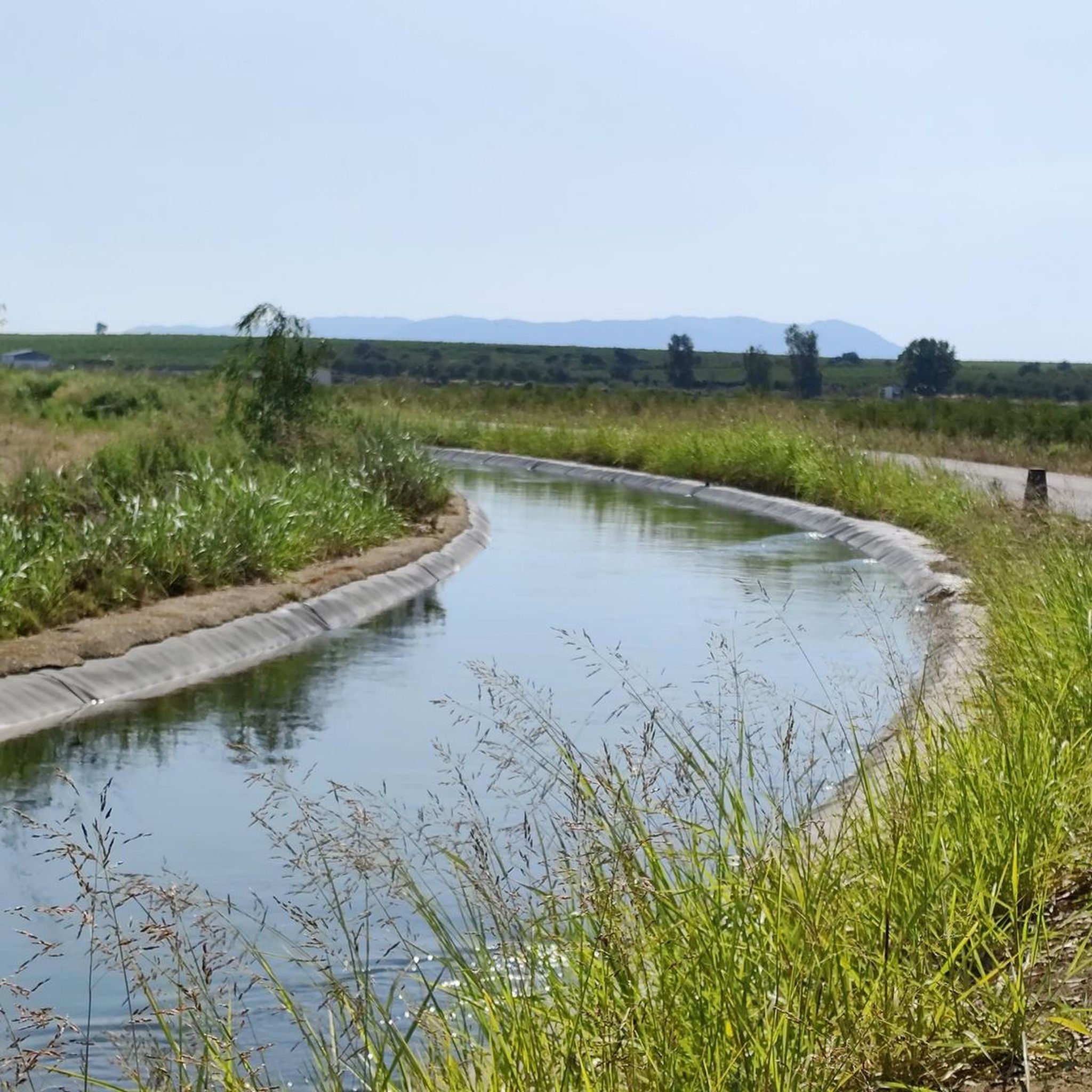
Yes, the region's agricultural plains often feature canals. The Don Benito by the Canal del Zújar — circular is an easy 4-mile (6.5 km) route that follows the Canal del Zújar, offering pleasant views along the waterway.
Most popular routes around Villanueva De La Serena
Most popular attractions around Villanueva De La Serena

Get inspired with the komoot mobile app


Explore more
Browse the best Hikes in other regions.
