The best running trails around Pradoluengo
5.0
(1)
202
runners
29
runs
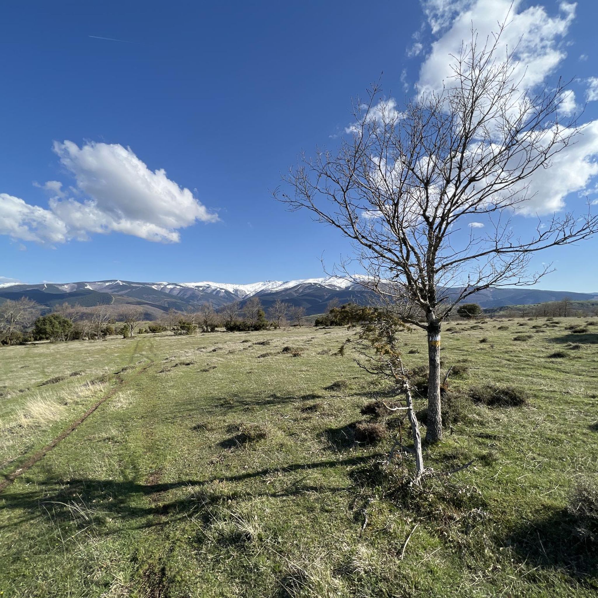
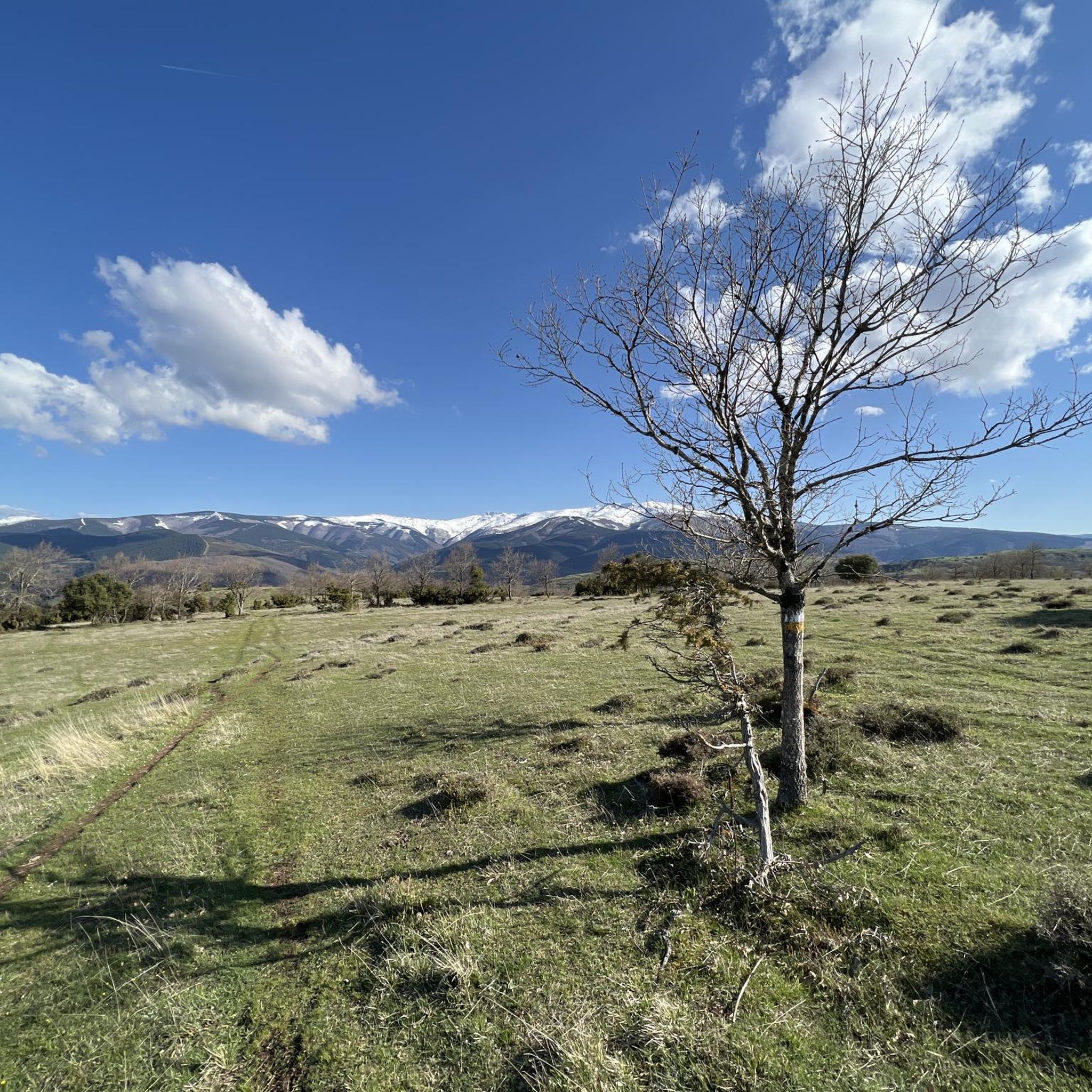
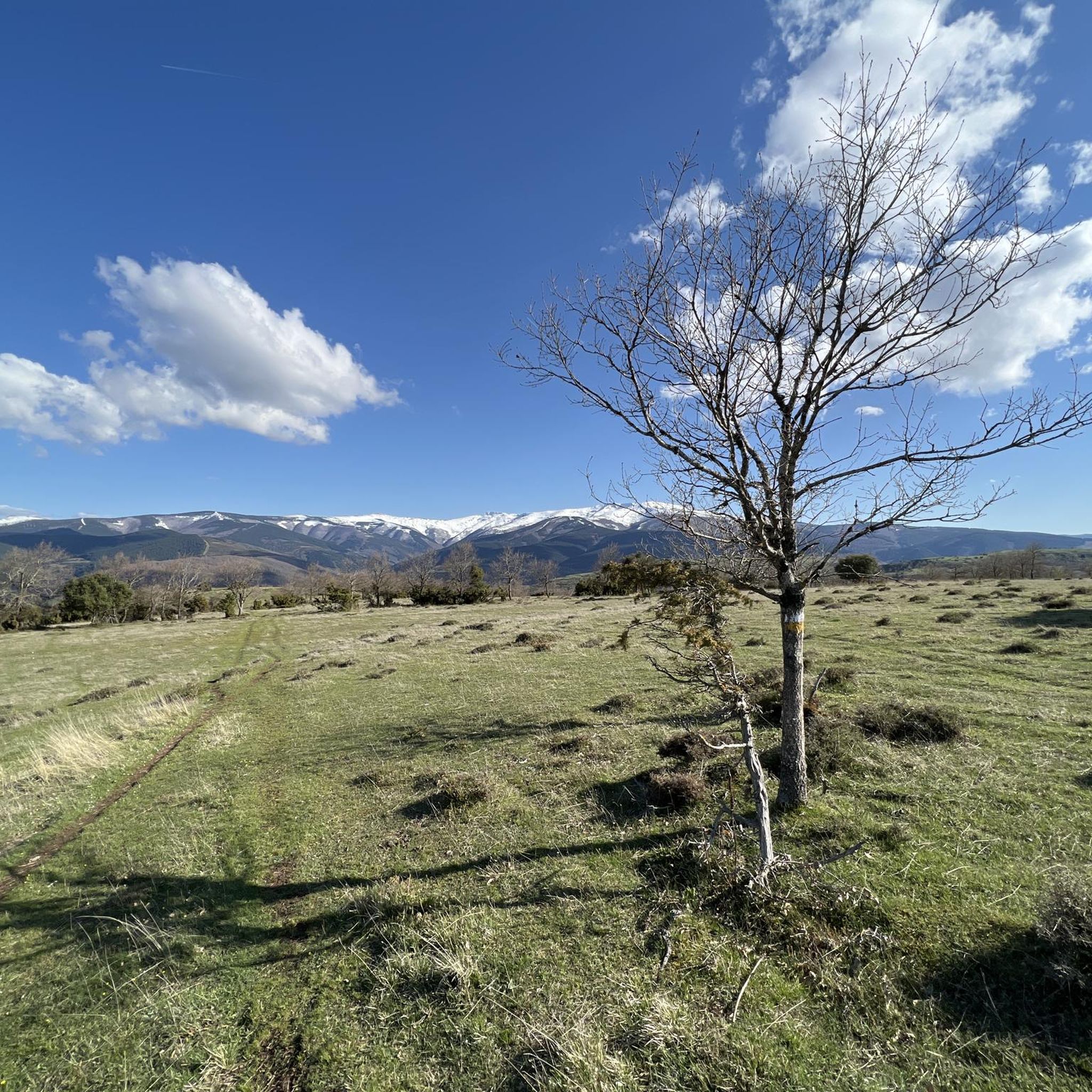
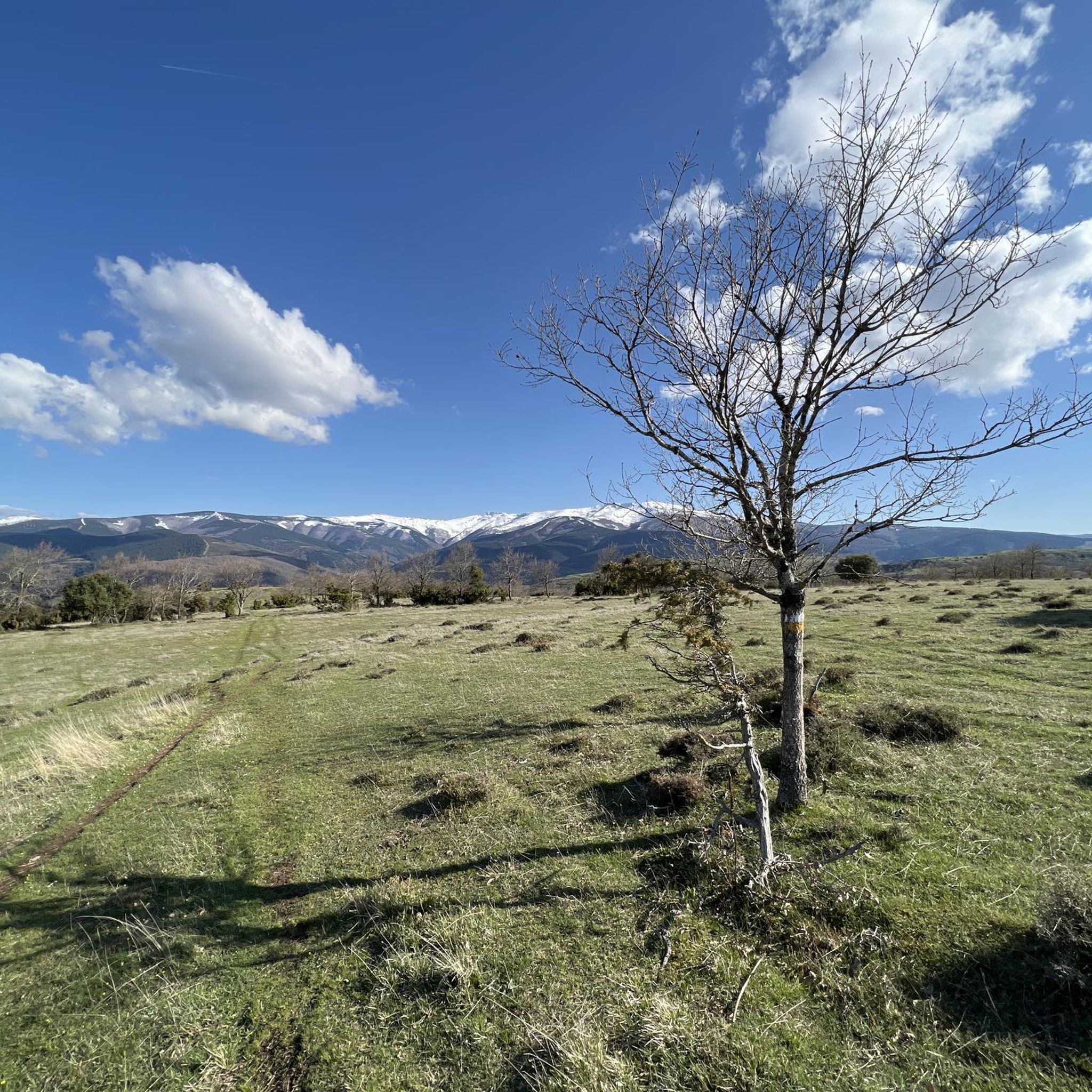
Jogging routes around Pradoluengo are set within the Montes de Oca region of Burgos, characterized by a narrow valley on the northern slope of the Sierra de la Demanda. The area features dense forests of beech, pine, and oak, providing varied terrain and natural shade for runners. The Oropesa River flows through Pradoluengo, offering tranquil riverside paths. The topography includes significant elevation changes, with routes ranging from 962 meters to over 1,000 meters above sea level.
Best jogging routes around…
Last updated: July 12, 2026
27
runners
14.6km
02:47
1,090m
1,090m
Hard run. Very good fitness required. Sure-footedness, sturdy shoes and alpine experience required.
5.0
(1)
24
runners
31.8km
05:13
1,780m
1,780m
Hard run. Very good fitness required. Sure-footedness, sturdy shoes and alpine experience required.

Sign up for free
24
runners
24.6km
03:24
960m
960m
Hard run. Very good fitness required. Mostly paved surfaces. Suitable for all skill levels.
16
runners
36.2km
05:32
1,740m
1,740m
Hard run. Very good fitness required. Sure-footedness, sturdy shoes and alpine experience required.
9
runners
21.2km
03:07
1,060m
1,060m
Hard run. Very good fitness required. Sure-footedness, sturdy shoes and alpine experience required.
Get access to more routes and recommendations from other explorers.
Sign up for free
Already have an account?
Our route recommendations are based on thousands of hikes, rides, and runs completed by other people on komoot.
Start today with a free account
Your next adventure awaits.
Login or Signup
Tips from the Community

a highly recommended area for hiking.
0
0
a highly recommended area for hiking.
0
0
a highly recommended area for hiking.
0
1
Nice area for hiking and mountain biking trails in La Demanda
0
0
Nice area for hiking and mountain biking trails
0
0

The Alto de la Garrula is a halfway point from where the Sendero de las Cascadas leaves and where you can take the direction towards the highest mountains of the Sierra de la Demanda, as is the case with Pico Millán.
0
0
It is one of the waterfalls that are found in this valley and that are part of the Arroyo del Allúzarra, in the upper part of it. The waters come from the high mountains that are flanking the mountains above.
0
0
This is geographically the highest mountain in the province of Burgos and which also represents one of the roofs of the Sierra de la Demanda. At 2130 meters high, it offers impressive panoramic views of the surrounding valleys.
1
0
Frequently Asked Questions
How many running routes are available in Pradoluengo?
Pradoluengo offers a wide selection of running routes, with over 20 trails available for exploration. These routes cater to various fitness levels, predominantly featuring moderate to difficult terrain.
What kind of terrain can I expect on the jogging routes around Pradoluengo?
The jogging routes in Pradoluengo traverse diverse terrain, including dense forests of beech, pine, holly, and oak. You'll find tranquil riverside paths along the Oropesa River, as well as routes with significant elevation changes, ranging from 962 meters to over 1,000 meters above sea level. This varied topography provides options from challenging uphill runs to more moderate trails.
Are there any challenging long-distance running trails in Pradoluengo?
Yes, Pradoluengo is an excellent destination for challenging long-distance running. For instance, the Pradoluengo Village – La Pasada Shelter loop from Pradoluengo is a difficult 19.7-mile (31.8 km) path with significant ascents through the Sierra de la Demanda. Another demanding option is the San Millán loop from Pradoluengo, spanning 36.1 km with substantial elevation gain.
What are some scenic viewpoints or landmarks I can see while running in Pradoluengo?
While running in Pradoluengo, you can encounter several natural landmarks and scenic viewpoints. Notable summits include San Millán (2,131 m) and Cruz De Guirnaldo. You might also pass through the Cruz de la Demanda Pass or the El Hombre summit in the Sierra de la Demanda, offering panoramic views of the surrounding 'story-tale landscapes'.
Are there any family-friendly running routes in the Pradoluengo area?
While many routes in Pradoluengo feature moderate to difficult terrain and significant elevation changes, some sections, particularly along the Oropesa River, might be suitable for families looking for less strenuous options. However, most listed routes are geared towards more experienced runners. It's always recommended to check the specific route details for distance and elevation before heading out with family.
Can I bring my dog on the running trails in Pradoluengo?
The natural areas around Pradoluengo, including the Sierra de la Demanda, are generally dog-friendly, making it a great place to run with your canine companion. However, it's always advisable to keep dogs on a leash, especially in areas with wildlife or livestock, and to follow local regulations regarding pet access and waste disposal.
What is the best time of year to go running in Pradoluengo?
The diverse forests and natural beauty of Pradoluengo make it appealing for running throughout much of the year. Spring and autumn offer pleasant temperatures and vibrant scenery, with the beech forests being particularly stunning. Summer can be warm, but the dense forests provide natural shade. Winter running is possible, but be prepared for colder temperatures and potential snow at higher elevations in the Sierra de la Demanda.
Are there any circular running routes available?
Yes, many of the running routes around Pradoluengo are designed as loops, offering a varied experience without retracing your steps. Examples include the popular Pico San Millán - Enrique del Ribero Loop and the Pradoluengo Village – Cruz De Guirnaldo loop from Pradoluengo, which leads through forested landscapes and offers panoramic views.
Is there parking available near the running trailheads in Pradoluengo?
While specific parking details for every trailhead are not always provided, Pradoluengo is a town that caters to outdoor enthusiasts. It's generally possible to find parking within or on the outskirts of the village, especially near popular starting points for trails. For specific routes, it's recommended to check the individual tour details on komoot for any indicated parking areas.
What do other runners enjoy most about the trails in Pradoluengo?
The running trails in Pradoluengo are highly rated by the komoot community, with an average score of 5.0 stars. Runners often praise the region's varied terrain, the natural beauty of its dense forests, and the challenging ascents that offer a rewarding workout. The serene environment and 'story-tale landscapes' are frequently highlighted as key attractions.
Are there any moderate running routes in Pradoluengo?
Yes, while many routes are difficult, Pradoluengo also offers moderate running options. There are 6 moderate routes available, providing a good balance of challenge and accessibility for runners who prefer a less intense workout than the most demanding trails. These routes often feature varied terrain without the extreme elevation gains of the more difficult paths.
Most popular attractions around Pradoluengo

Get inspired with the komoot mobile app


Explore more
Browse the best Running Trails & Routes in other regions.
