The best walks and hikes around Pradoluengo
4.5
(106)
538
hikers
16
hikes
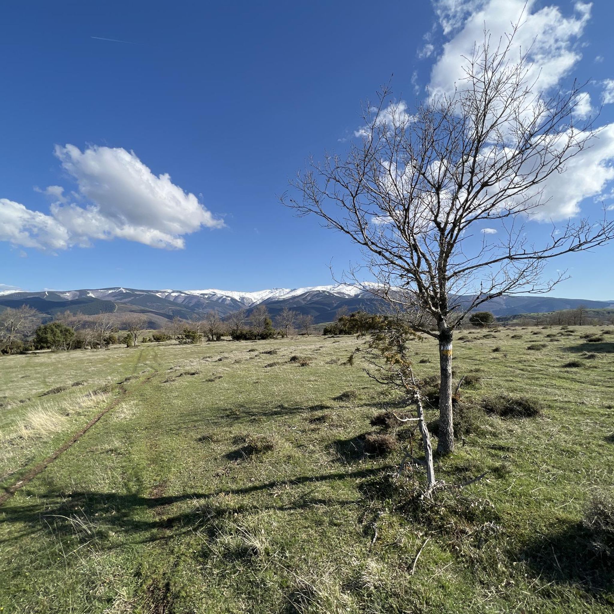
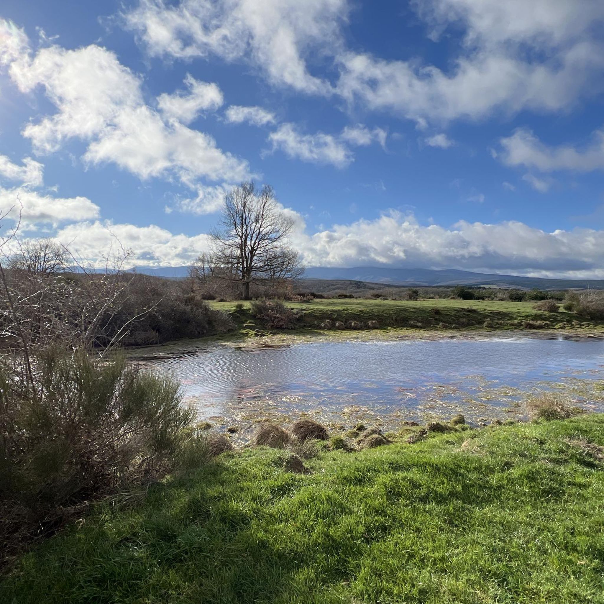
Hiking around Pradoluengo offers exploration within the Sierra de la Demanda, a mountain range characterized by forest-covered mountains, crystal-clear streams, and diverse woodlands. The region, part of the Montes de Oca, features pine, oak, and beech forests, along with the Oropesa River. This landscape provides varied terrain for outdoor activities, from river valleys to higher elevations.
Best hiking trails around Pradoluengo
- The most popular hiking route is Fuente de los Lobos Trail, a 6.0 miles (9.7 km) moderate trail…
Last updated: June 23, 2026
5.0
(3)
5
hikers
9.71km
03:16
470m
470m
Hike the moderate 6.0-mile Fuente de los Lobos Trail in Sierra de la Demanda, gaining 1547 feet over 3 hours and 15 minutes.
4.8
(6)
24
hikers
13.3km
04:04
440m
440m
Moderate hike. Good fitness required. Easily-accessible paths. Suitable for all skill levels.

Sign up for free
5.0
(2)
14
hikers
Moderate hike. Good fitness required. Easily-accessible paths. Suitable for all skill levels.
5.0
(3)
14
hikers
14.9km
04:57
690m
690m
Moderate hike. Good fitness required. Easily-accessible paths. Suitable for all skill levels.
4.3
(4)
11
hikers
7.29km
02:12
240m
240m
Moderate hike. Good fitness required. Easily-accessible paths. Suitable for all skill levels.
Get access to more routes and recommendations from other explorers.
Sign up for free
Already have an account?
Our route recommendations are based on thousands of hikes, rides, and runs completed by other people on komoot.
Start today with a free account
Your next adventure awaits.
Login or Signup
Tips from the Community

Nice area for hiking and mountain biking trails
0
0
Nice area for hiking and mountain biking trails in La Demanda
0
0
Nice area for hiking and mountain biking trails
0
0
Nice area for hiking and mountain biking trails
1
0

The municipal complex of Pradoluengo is located on the eastern slope of Burgos, a northeastern province of the Autonomous Community of Castilla y León to which it belongs, and is part of the Montes de Oca region. Etymologically it referred to a place of exceptional length and which is known to have been inhabited since the time of Roman domination of the Peninsula.
0
0
It is worth knowing these leafy beech forests of La Demanda.
1
0

Several crossroads, several mailboxes, crossroads of tracks... and more than 1400 meters high.
5
0
Interesting summit with good views. The height of the monolith that symbolizes the top is curious.
6
0
Frequently Asked Questions
How many hiking trails are available around Pradoluengo?
There are over 15 hiking routes around Pradoluengo, catering to various fitness levels. You'll find a good mix of easy, moderate, and challenging trails to explore the Sierra de la Demanda.
Are there any easy hiking routes suitable for families or casual walkers?
Yes, Pradoluengo offers several easy routes. A good option is the Pradoluengo Village – Old Bridge loop from Pradoluengo, which is about 6.7 km long and takes less than two hours, following the Oropesa River.
What kind of natural features can I expect to see on the trails?
The trails around Pradoluengo are rich in natural beauty. You'll encounter diverse forests, including extensive beech, oak, and Scots pine, with some routes winding through centenary oak trees. The region is also known for crystal-clear streams and the Oropesa River, with picturesque waterfalls like those found on routes such as 'Cascadas de Altuzarra'.
Are there any circular hiking routes in Pradoluengo?
Many routes in Pradoluengo are designed as loops. For example, the Source of the Oropesa River – Fuente de la Muñeca loop from Refugio de la Pasada offers a moderate 9.8 km circular hike through varied terrain.
What is the best time of year to go hiking in Pradoluengo?
Pradoluengo is beautiful year-round, but spring and autumn are particularly stunning. In spring, the forests burst with new growth, and in autumn, the beech and oak trees display vibrant chromatic contrasts. The humid climate due to its proximity to the Cantabrian mountain range ensures lush landscapes.
Are there any viewpoints or scenic spots along the trails?
Yes, the region offers splendid natural viewpoints. The 'Senda de la Muñeca' (The Doll) route, for instance, provides excellent views over the Sierra de la Demanda, including spots like the Cruz de Guirnaldo. You can also explore the Cruz De Guirnaldo summit for panoramic vistas.
Can I bring my dog on the hiking trails in Pradoluengo?
Generally, dogs are welcome on many trails in the Sierra de la Demanda. However, it's always advisable to keep them on a leash, especially in areas with wildlife or near livestock, and to check specific trail regulations before you go.
What are some notable landmarks or attractions near the hiking areas?
Beyond the trails, you can explore several natural monuments and lakes. Highlights include the San Millán (2,131 m) summit, the Cruz de la Demanda Pass, and various reservoirs like EmbalseDeAlba and Arlanzón Reservoir.
Are there any historical or cultural points of interest along the routes?
Yes, the 'Senda de los Batanes' (Path of the Fulling Mills) offers a unique blend of industrial heritage and natural beauty. This route follows the Oropesa River, showcasing historical buildings that once utilized hydraulic energy for the local textile industry.
What do other hikers say about the trails in Pradoluengo?
The hiking routes in Pradoluengo are highly rated by the komoot community, with an average score of 4.5 stars from over 90 reviews. Hikers often praise the diverse forest scenery, the tranquility, and the well-maintained paths that connect them with nature.
Are there any challenging hikes for experienced trekkers?
While most routes are moderate, there are options for more demanding treks. For a longer, moderate challenge, consider the Cruz De Guirnaldo – La Pasada Shelter loop from Pradoluengo, which covers nearly 15 km with significant elevation gain.
Is there public transport available to reach the trailheads?
While Pradoluengo is accessible, public transport options directly to all trailheads can be limited. It's often recommended to travel by car to reach the starting points of many routes, especially those deeper within the Sierra de la Demanda.
Most popular attractions around Pradoluengo

Get inspired with the komoot mobile app


Explore more
Browse the best Hikes in other regions.
