The best running trails around National Park Serras Aire e Candeeiros
4.5
(4)
602
runners
54
runs
Jogging around National Park Serras Aire e Candeeiros offers a diverse experience across its distinctive karstic landscape. This region is characterized by its limestone nature, featuring formations such as poljes, fields of clints, uvalas, and dolines, alongside an extensive underground network of caves. The terrain includes striking faults, escarpments, and rocky outcrops, providing varied elevations for running. The park encompasses the Serra de Aire, Serra dos Candeeiros, and the Santo António Plateau, with Mount Aire reaching 680 meters.
Best jogging…
Last updated: July 7, 2026
75
runners
34.7km
05:09
1,560m
1,560m
Hard run. Very good fitness required. Mostly paved surfaces. Suitable for all skill levels.
35
runners
20.7km
03:00
830m
830m
Hard run. Very good fitness required. Mostly paved surfaces. Suitable for all skill levels.

Sign up for free
28
runners
16.2km
01:50
280m
280m
Hard run. Very good fitness required. Sure-footedness, sturdy shoes and alpine experience required.
29
runners
56.4km
08:07
2,470m
2,470m
Hard run. Very good fitness required. Mostly paved surfaces. Suitable for all skill levels.
25
runners
16.4km
02:14
590m
590m
Hard run. Very good fitness required. Mostly paved surfaces. Suitable for all skill levels.
Get access to more routes and recommendations from other explorers.
Sign up for free
Already have an account?
Our route recommendations are based on thousands of hikes, rides, and runs completed by other people on komoot.
Start today with a free account
Your next adventure awaits.
Login or Signup
Popular around National Park Serras Aire e Candeeiros

Tips from the Community

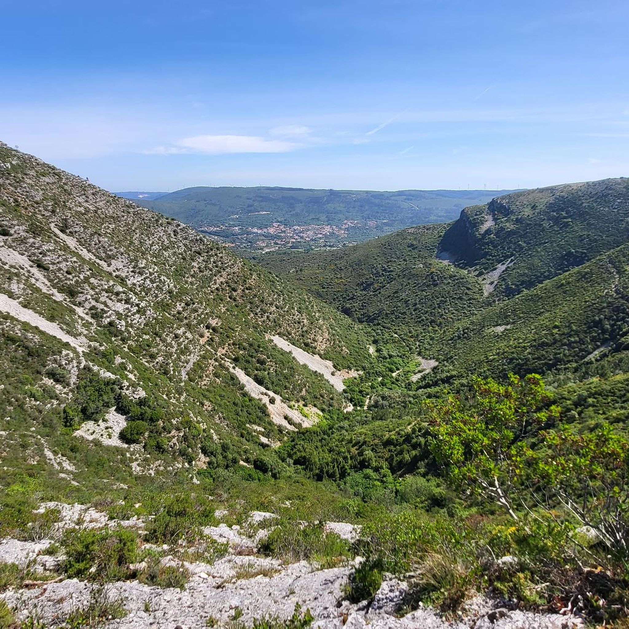
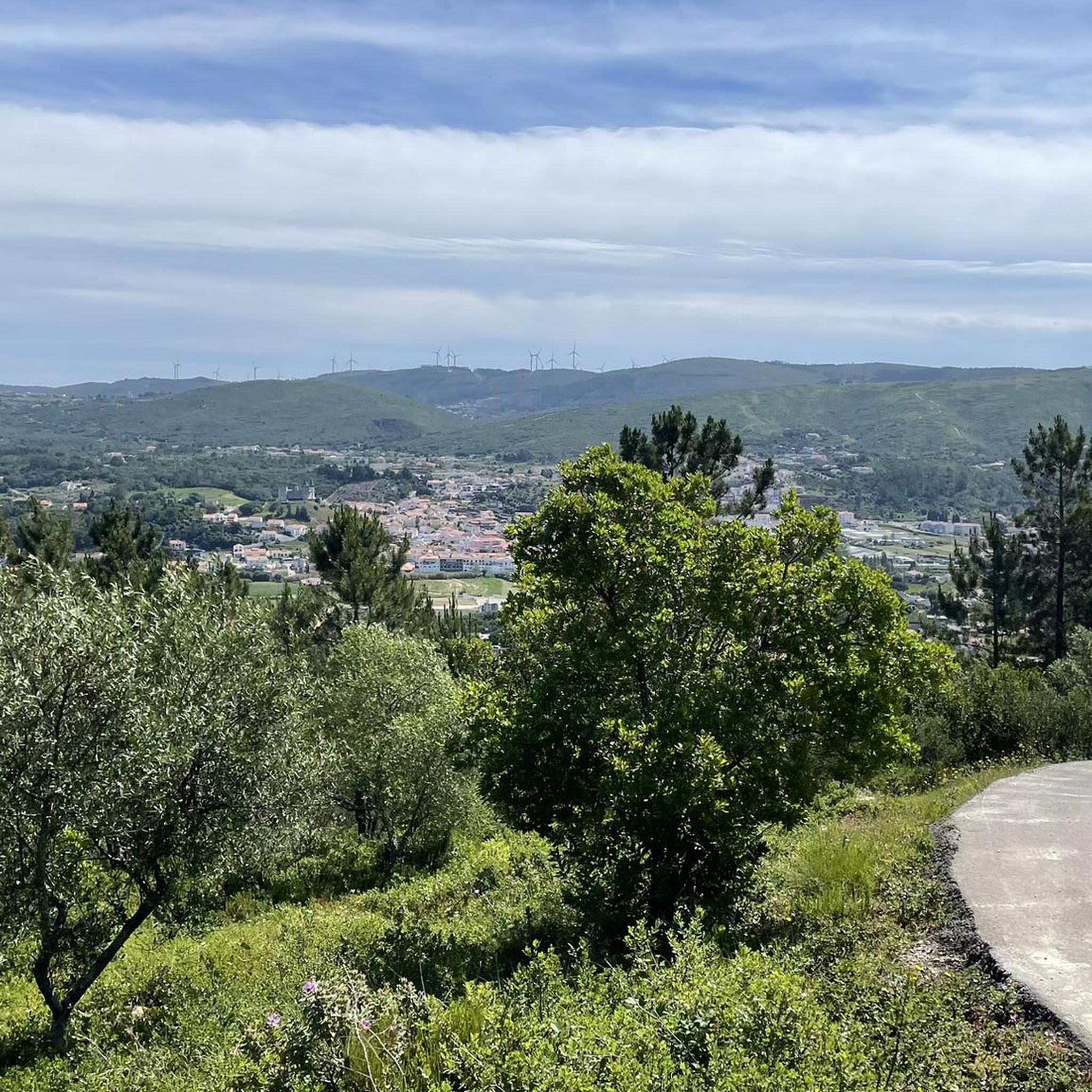
Near the top of Cabeça Gorda, this viewpoint overlooks the Mira de Aire lagoons and the small town below. Here, a picnic area invites you to take a break: whether to stretch your legs in the sun or take shelter in the shade, depending on your body and the moment.
1
0
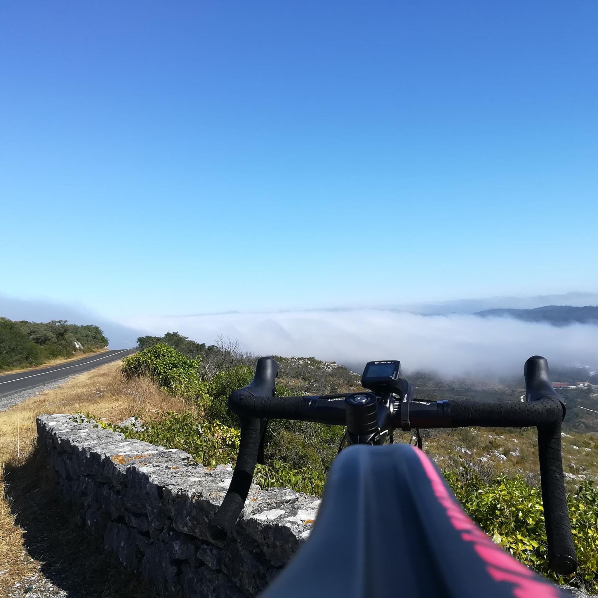
The Serra de Aire stands as the highest point of the Estremenho Limestone Massif, crowning its 678 metres at the geodesic vertex. Up here, the horizon opens up generously: to the south stretches the Tertiary Tagus Basin, lowered by the Arrife thrust and marked by ochre tones of sand and clay; to the west and southwest rise the Santo António plateau and the Serra dos Candeeiros. And if the sky cooperates, the view also reaches Montejunto, the sea in the distance and, to the north, the highlands of São Mamede up to Ourém and Fátima.
1
0
The Garcia Valley hides a narrow and wild trail, where the bush almost blocks the path, but that is precisely what makes it special for runners. The classic climb is a real test for the legs: 200 meters of elevation gain in just one kilometer. Short, tough and full of charm.
1
1
From the top of the lake, amidst the lush greenery, you can see what was once the scene of giants: the Dinosaur Footprints Natural Monument stretches out nearby, revealing the grandeur of times gone by. This is the highest point in the area, ideal for contemplating the vastness of the site. For those who enjoy running, the trails here are pure pleasure — to the north, dirt roads invite you to run at a smooth pace; to the south, the rocky terrain brings a touch of challenge. And the landscape, wide and serene, is the perfect bonus for every step.
2
1
What was once a railway line that transported coal from Minas da Bezerra to Porto de Mós is now a fascinating hiking trail. Along its route, the tunnels dug into the rock to allow the train to pass have become real attractions.
5
0
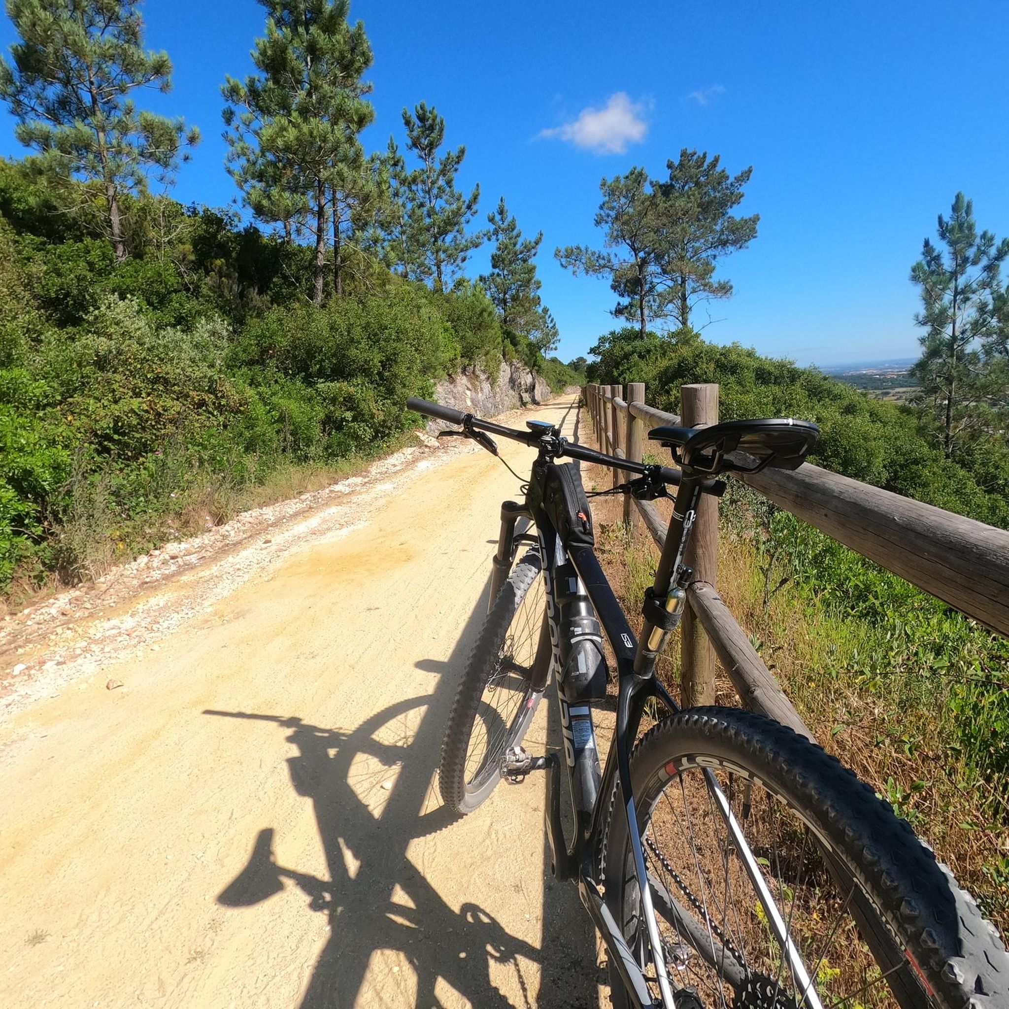
The old railway line that transported coal from the Bezerra mines to the Porto de Mós thermoelectric plant has been reborn as this modern eco-trail, perfect for walking or cycling. Along the route, viewpoints and picnic areas invite you to take breaks and enjoy the scenery.
3
0

Of you are on this path at the right season (September - November) next to the path on multiple places there are these delicious berries.
0
0
Frequently Asked Questions
How many running routes are available in National Park Serras de Aire e Candeeiros?
National Park Serras de Aire e Candeeiros offers a wide selection of running routes, with over 50 trails available on komoot. These routes cater to various fitness levels, ensuring there's something for everyone.
What is the general difficulty level of running trails in National Park Serras de Aire e Candeeiros?
The running trails in National Park Serras de Aire e Candeeiros are predominantly challenging. There are 16 moderate routes and 39 difficult routes, reflecting the park's varied karstic landscape with significant elevation changes. While there are no easy routes listed, the diverse terrain provides options for experienced runners seeking a demanding workout.
What makes the landscape of National Park Serras de Aire e Candeeiros unique for jogging?
The park's landscape is uniquely shaped by its limestone nature, creating a fascinating karstic environment. Joggers will encounter formations like poljes, fields of clints, uvalas, dolines, and dramatic rocky outcrops. This geology also means an extensive underground network of caves and waterways, which sometimes emerge as picturesque natural springs, adding to the scenic beauty of your run.
Are there any circular jogging routes in the park?
Yes, many of the running routes in National Park Serras de Aire e Candeeiros are circular, allowing you to start and finish at the same point. For example, the challenging Serra d'Aire Loop is a 34.7 km circular trail, and the Cabeça Gorda Viewpoint – Vale Garcia Ascent loop from Minde is a longer 56.4 km circular option.
Is parking available at the trailheads for running routes?
Yes, parking is generally available at or near the trailheads for many running routes within National Park Serras de Aire e Candeeiros. Specific parking information can often be found in the detailed route descriptions on komoot, or by checking local signage upon arrival.
Can I reach the jogging trails in National Park Serras de Aire e Candeeiros by public transport?
While some areas of National Park Serras de Aire e Candeeiros may be accessible by public transport, options can be limited. It's advisable to research specific bus routes or train connections to towns bordering the park, such as Minde, and then plan your journey to the desired trailhead. For greater flexibility, driving is often recommended.
Are permits required for jogging or hiking in National Park Serras de Aire e Candeeiros?
Generally, permits are not required for jogging or hiking on the established trails within National Park Serras de Aire e Candeeiros for individual recreational use. However, for organized events or larger groups, it's always best to check with the park authorities for any specific regulations or permissions needed.
Are there family-friendly running routes suitable for all ages?
The majority of running routes in National Park Serras de Aire e Candeeiros are rated as moderate to difficult due to the karstic terrain and elevation changes. While there are no routes specifically listed as 'easy', some shorter, less strenuous sections of trails might be suitable for families with older children who are accustomed to running or hiking. Always check the route details for distance and elevation before heading out.
Are dogs allowed on the running trails in National Park Serras de Aire e Candeeiros?
Dogs are generally permitted on trails within National Park Serras de Aire e Candeeiros, but they must be kept on a leash at all times to protect wildlife and ensure the safety of other visitors. Please remember to clean up after your pet and respect the natural environment.
What kind of natural attractions can I see along the running routes?
The park is rich in natural attractions. You might encounter the unique Fórnea Waterfall, explore the fascinating Cova da Velha cave, or discover the expansive Serras de Aire e Candeeiros Natural Park itself, which is a natural monument. The limestone geology also means you'll see various karstic formations and possibly natural springs.
Are there any historical or cultural landmarks near the running trails?
Yes, the region offers several interesting landmarks. You can visit the ancient Rio Maior Salt Pans, which have been active for centuries, or explore the historic Porto de Mós Castle. The Aire loop from Serra d'Aire Dinossaur Traceways route even takes you past the Dinosaur Footprints Natural Monument, offering a unique historical element to your run.
What do other runners enjoy most about jogging in National Park Serras de Aire e Candeeiros?
The area is highly rated by the komoot community, with an average score of 4.3 stars. Runners often praise the unique karstic landscape, the varied terrain that offers a good challenge, and the opportunity to explore both natural wonders and historical sites. The extensive trail network is also appreciated for providing diverse options for exploration.
Are there any viewpoints along the running trails?
Yes, many trails lead to scenic viewpoints offering expansive vistas of the park's olive groves and dramatic landscapes. The Cabeça Gorda Viewpoint – Vale Garcia Ascent loop from Minde, for instance, is named after a prominent viewpoint. The repurposed old railway line, now an eco-trail, also features several viewpoints and picnic areas perfect for a break during your run.
Most popular routes around National Park Serras Aire e Candeeiros
Most popular attractions around National Park Serras Aire e Candeeiros

Get inspired with the komoot mobile app


Explore more
Browse the best Running Trails & Routes in other regions.
