The best road cycling routes around Solanillos Del Extremo
4.5
(2)
159
riders
18
rides
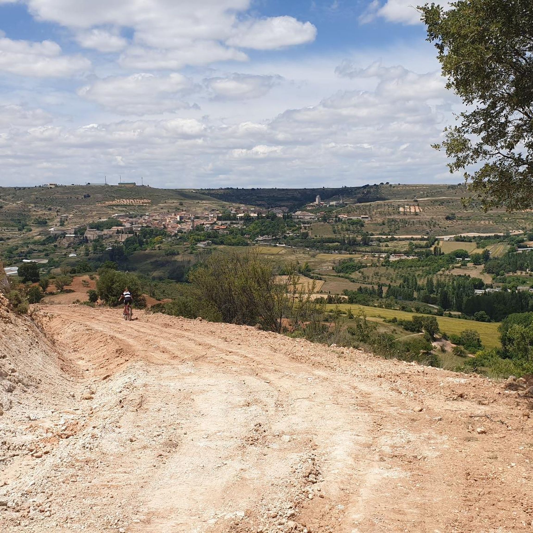
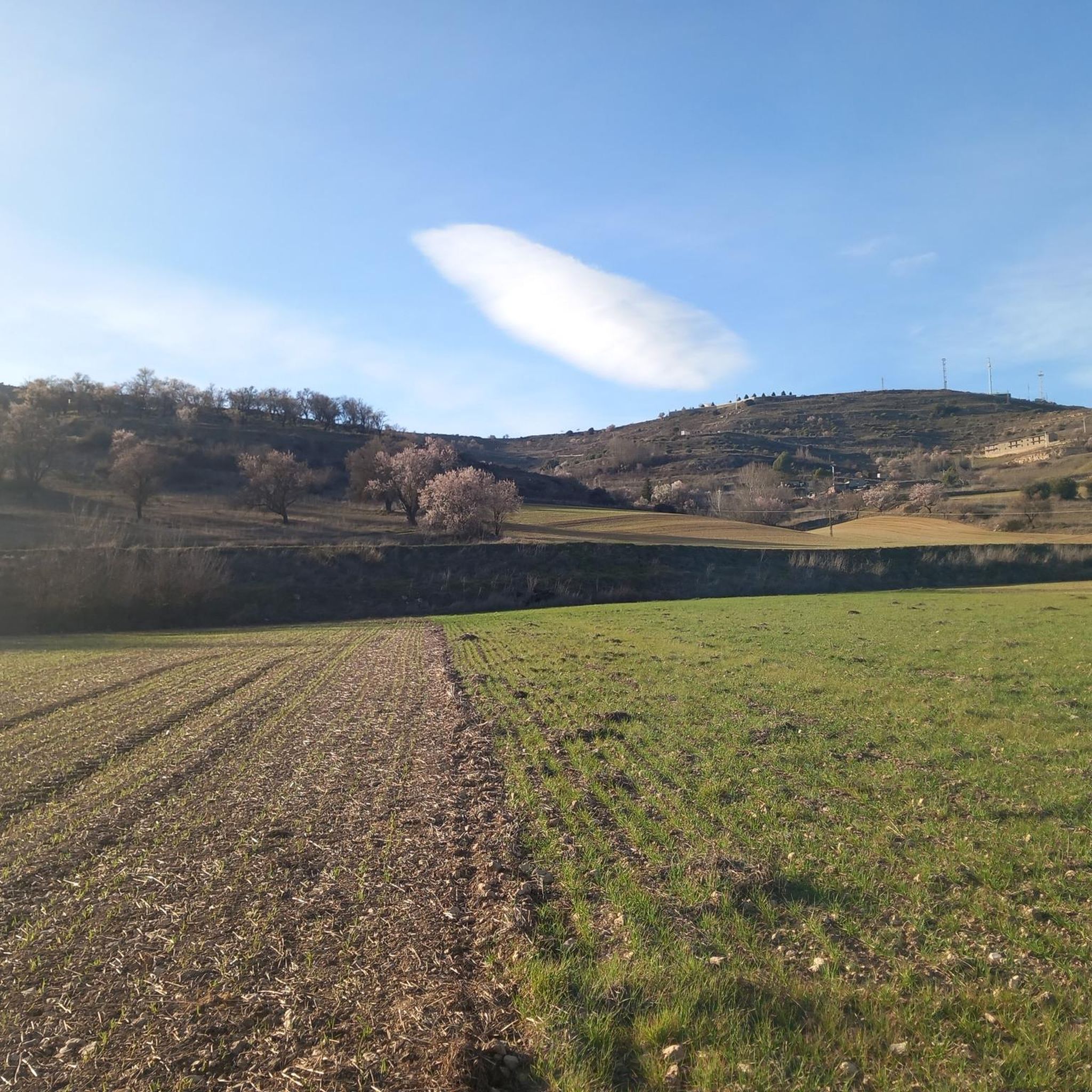
Road cycling routes around Solanillos Del Extremo traverse varied landscapes within the province of Guadalajara, Castilla-La Mancha. The region features a mix of terrains, from well-paved tracks to routes with significant elevation gains, suitable for different cycling levels. Cyclists can explore areas characterized by the Tagus River, expansive reservoirs like Entrepeñas, and the scenic Alcarria landscapes. The environment offers journeys through the Spanish countryside, including routes near natural parks and historical sites.
Best road cycling routes around Solanillos Del Extremo
…Last updated: May 16, 2026
5.0
(1)
30
riders
110km
05:18
1,550m
1,550m
Hard road ride. Very good fitness required. Mostly well-paved surfaces and easy to ride.
22
riders
83.7km
03:53
1,020m
1,020m
Hard road ride. Very good fitness required. Some segments of this route may be unpaved and difficult to ride.

Sign up for free
Moderate road ride. Good fitness required. Some segments of this route may be unpaved and difficult to ride.
22
riders
119km
06:08
1,700m
1,700m
Hard road ride. Very good fitness required. Mostly well-paved surfaces and easy to ride.
4.0
(1)
14
riders
59.0km
02:39
580m
580m
Moderate road ride. Good fitness required. Mostly well-paved surfaces and easy to ride.
Get access to more routes and recommendations from other explorers.
Sign up for free
Already have an account?
Our route recommendations are based on thousands of hikes, rides, and runs completed by other people on komoot.
Start today with a free account
Your next adventure awaits.
Login or Signup

Tips from the Community

First checkpoint on the route from Madrid to Barcelona. In the main square we find places to get supplies and rest.
0
0
Fresh water source in the village of Solanillos del Extremo, in the first kms of the route from Madrid to Barcelona.
0
0

Muslim castle built on a firm rock. Impregnable. for the defense of the Tagus River.
0
0

Cívica is a fascinating village in the province of Guadalajara, known for its rock-cut structures, which have earned it the nickname of the "Cappadocia of Alcarria". Cívica is a perfect place for lovers of history and nature.
5
0
It is a unique, curious, extraordinary, beautiful, nice, very special place.
0
0

The Torresaviñán castle, from the 12th century, is located on a hill very close to Torremocha del Campo and is visible from the Barcelona highway itself. It is of Muslim origin and due to the absence of amenities in its structure, it is assumed that it was a defensive post, rather than a permanent settlement. Its current state is due to the blowing up of its walls by the Austrian army during the war of succession in the 18th century.
0
0

The Entrepeñas viaduct is an impressive construction that allows you to cross this reservoir located in the bed of the Tagus River.
1
0
The Valtablado del Río bridge crosses the waters of the Tagus in an area full of poplars. The great width and shallowness of the river, added to the shade provided by the trees, creates a privileged bathing area on hot days.
2
0
Frequently Asked Questions
How many road cycling routes are available around Solanillos Del Extremo?
There are over 15 road cycling routes around Solanillos Del Extremo listed on komoot. These routes offer a variety of experiences, with 6 categorized as moderate and 12 as difficult, catering to different fitness levels.
What kind of terrain can I expect on road cycling routes in Solanillos Del Extremo?
The region around Solanillos Del Extremo offers a diverse mix of terrains for road cycling. You can expect well-paved tracks, routes with significant elevation gains, and scenic journeys through the Spanish countryside. The landscape features expansive reservoirs like Entrepeñas, river valleys, and the picturesque Alcarria landscapes.
Are there road cycling routes suitable for beginners or those looking for an easier ride?
While many routes in Solanillos Del Extremo are categorized as difficult, there are several moderate options available. For example, the Embalse de la Tejera and Castillo de Torresaviñán — circular from Cifuentes is a moderate 44.5 miles (71.6 km) route that takes you through reservoir areas and past historical sites.
What natural features and landmarks can I see along the road cycling routes?
Road cycling routes in this area often pass by stunning natural features and historical landmarks. You might encounter the expansive Entrepeñas Reservoir, the picturesque Cifuentes River Waterfall near Trillo, or the fascinating Cívica Rock Dwellings and Waterfall. The region also boasts the scenic Alto Tajo Natural Park and views of ancient castles.
Are there any circular road cycling routes in the area?
Yes, there are several circular road cycling routes. A popular option is the Embalse de la Tejera and Castillo de Torresaviñán — circular from Cifuentes. Another challenging circular route is the Alto Tajo Natural Park Loop, which offers significant elevation gain.
What is the best time of year for road cycling around Solanillos Del Extremo?
The region is generally favorable for road cycling during spring and autumn when temperatures are milder. These seasons offer pleasant weather for exploring the varied landscapes, from the lavender fields of La Alcarria to the river valleys. Summer can be hot, while winter might present colder conditions, especially at higher elevations like Alto Rey.
Are there any routes that pass through the famous lavender fields?
Yes, you can experience the beautiful lavender fields of La Alcarria on routes like the La Alcarria Lavender Fields Trail from Cifuentes. This difficult 52.0 miles (83.7 km) path features climbs through the scenic Alcarria region, offering picturesque views, especially when the lavender is in bloom.
What do other road cyclists enjoy most about road cycling in Solanillos Del Extremo?
The road cycling routes around Solanillos Del Extremo are highly rated by the komoot community, with an average score of 4.5 stars. Cyclists often praise the varied terrain, the stunning natural landscapes including reservoirs and river valleys, and the challenging climbs that reward with expansive views.
Are there any challenging routes for experienced road cyclists seeking significant elevation gain?
Absolutely. For experienced cyclists, the region offers routes with substantial elevation gains. The Alto Tajo Natural Park Loop, for instance, is a difficult 68.6 miles (110.4 km) trail with over 1,500 meters of elevation gain. The route to Alto Rey also presents a significant challenge with climbs approaching 2,000 meters above sea level.
Can I find routes that combine cycling with cultural or historical exploration?
Yes, the region allows for routes that blend cycling with cultural and historical exploration. You can find trails that lead past ancient castles, such as the Embalse de la Tejera and Castillo de Torresaviñán — circular from Cifuentes. The broader Guadalajara province also offers routes between towns like Sigüenza and Atienza, known for their historical significance.
Are there any road cycling routes that pass by the Entrepeñas Reservoir?
Yes, the Entrepeñas Reservoir is a prominent feature in the region, and several routes offer scenic views of its expansive waters. The Entrepeñas Viaduct – Entrepeñas Reservoir Dam loop from Central Nuclear de Trillo is a challenging 119.3 km route that specifically highlights this impressive reservoir.
Most popular routes around Solanillos Del Extremo
Most popular attractions around Solanillos Del Extremo

Get inspired with the komoot mobile app


Explore more
Browse the best Road cycling routes in other regions.
