The best walks and hikes around Solanillos Del Extremo
4.7
(12)
122
hikers
13
hikes
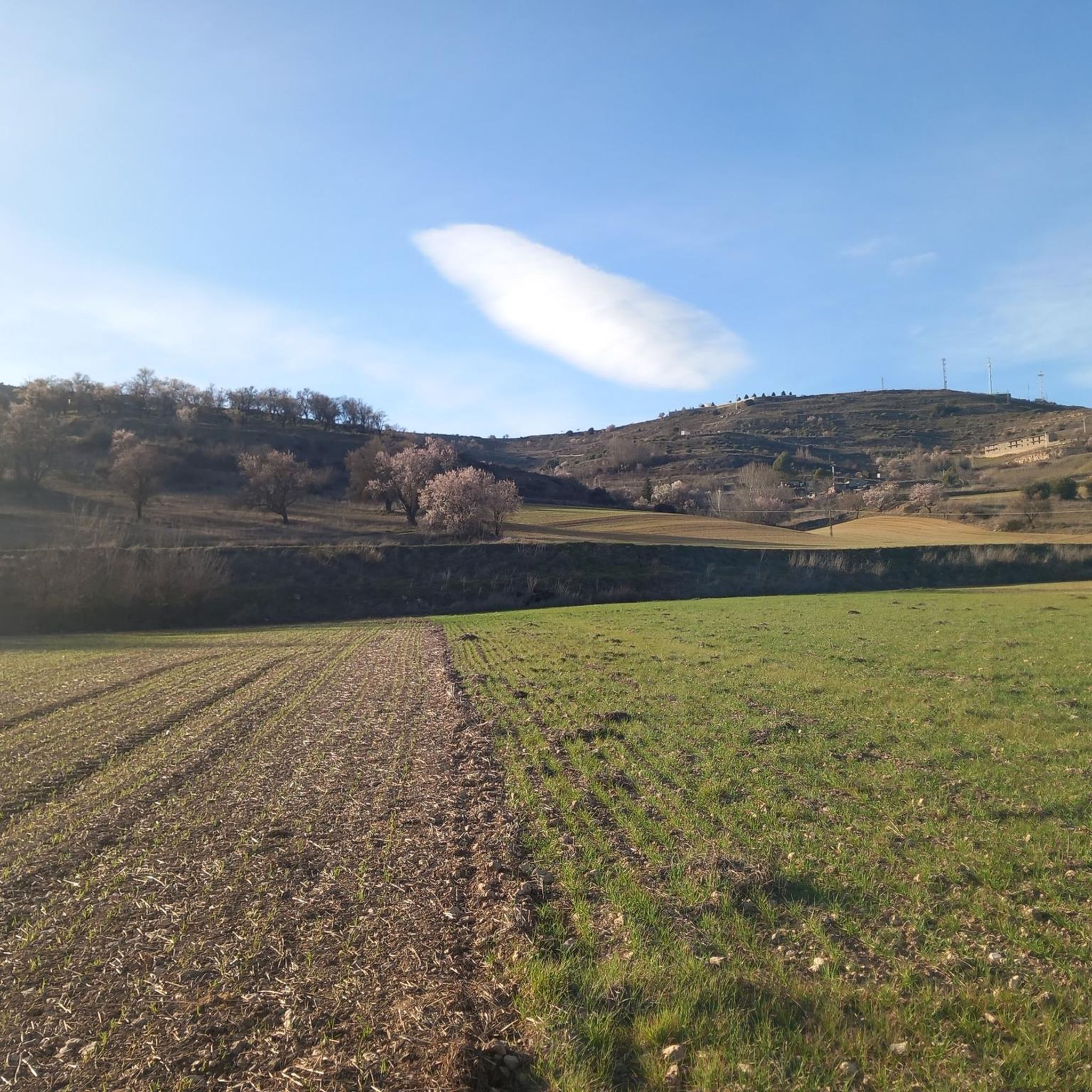
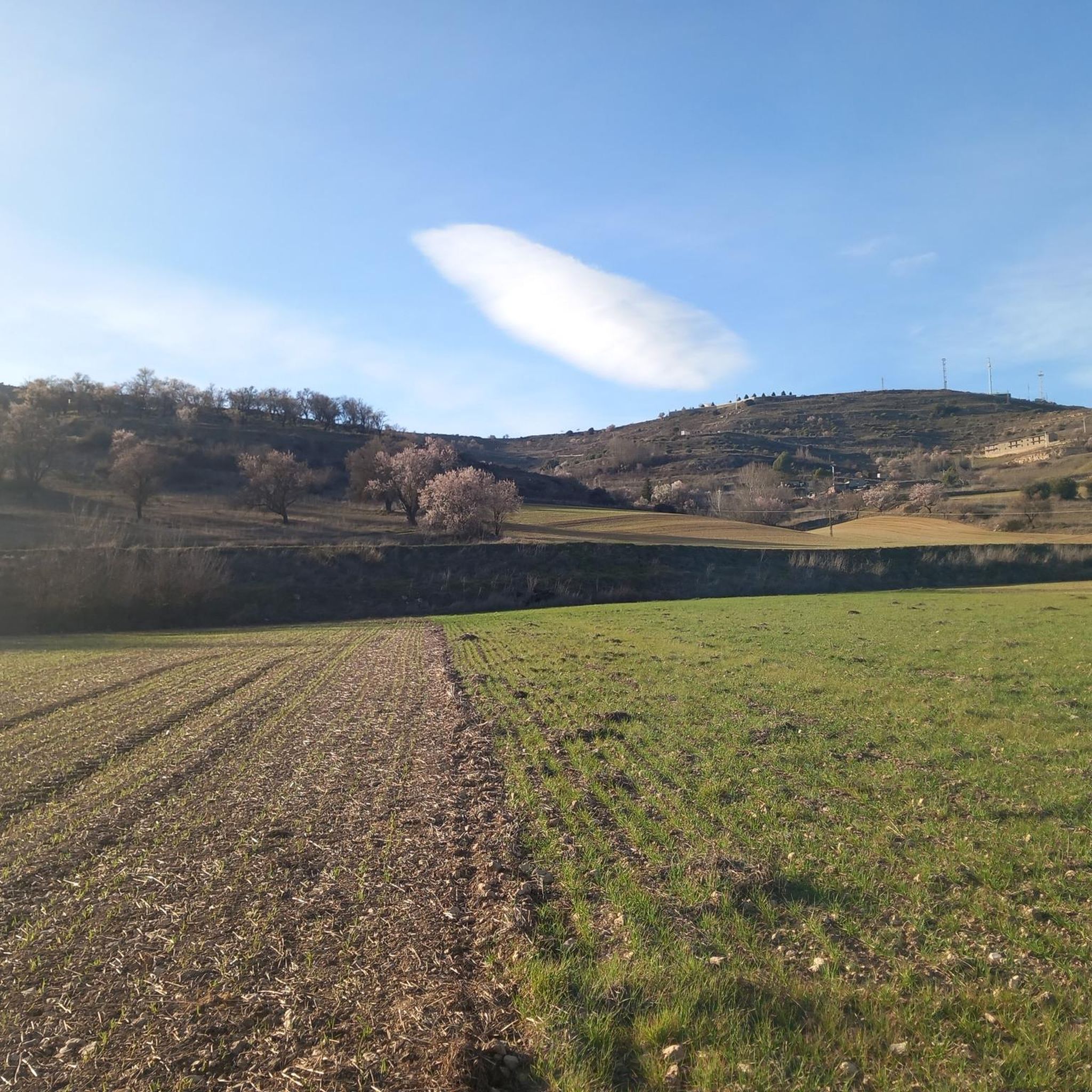
Hiking around Solanillos Del Extremo offers exploration of the Alta Alcarria region, characterized by rolling hills such as the Cerros de las Solanas and Lomas de Portillo. The landscape features a mosaic of cultivated fields, including cereal and olive groves, interspersed with diverse forested areas. Hikers can traverse through holm oak, gall oak, juniper, and pine forests, providing varied terrain for outdoor activities.
Best hiking trails around Solanillos Del Extremo
- The most popular hiking route is Civica and Civica waterfall…
Last updated: July 1, 2026
5.0
(2)
23
hikers
12.5km
04:11
370m
370m
Hike the difficult 7.8-mile Tetas de Viana circular route from Trillo, gaining 1210 feet for panoramic views from La Redonda (1,144 m).
5.0
(1)
7
hikers
10.5km
02:50
130m
130m
Moderate hike. Good fitness required. Easily-accessible paths. Suitable for all skill levels.

Sign up for free
17
hikers
15.5km
05:03
440m
450m
Hard hike. Very good fitness required. Sure-footedness, sturdy shoes and alpine experience required.
8
hikers
5.25km
01:25
70m
70m
Easy hike. Great for any fitness level. Easily-accessible paths. Suitable for all skill levels.
7
hikers
12.0km
03:28
230m
220m
Moderate hike. Good fitness required. Mostly accessible paths. Sure-footedness required.
Get access to more routes and recommendations from other explorers.
Sign up for free
Already have an account?
Our route recommendations are based on thousands of hikes, rides, and runs completed by other people on komoot.
Start today with a free account
Your next adventure awaits.
Login or Signup

Tips from the Community

Cívica is a fascinating village in the province of Guadalajara, known for its rock-cut structures, which have earned it the nickname of the "Cappadocia of Alcarria". Cívica is a perfect place for lovers of history and nature.
5
0

There is never a shortage of water in this waterfall, as it is fed by water from the Fountain, which in turn is fed by the overflow of a water tank.
0
0
It is a unique, curious, extraordinary, beautiful, nice, very special place.
0
0
An elevated place with splendid landscapes throughout its surroundings. It is worth visiting.
0
0

The entrance to the summit is spectacular, it is the geographical ceiling of the Alcarria and the views are magnificent, practically the entire Alcarria Alta, the Serranía de Guadalajara, the Sierra de Ayllón, the popular Ocejón and the Sierra de Guadarrama. And the towns of Viana de Mondéjar and La Puerta from a bird's eye view. The summit plain has a circular path around the summit that may be covered in grass, although it can be seen in the terrain. A good vantage point is the north side, with views of the Elongated Tit. Around the perimeter there are some wooden sticks that can be confused with trail signs. In reality, they indicate the limit of the danger zone. To avoid approaching the cliffs, the path runs a few meters inside.
0
0
Trillo is a stately town in Alcarria de Guadalajara on the banks of the Tagus River that has become a center for active tourism and adventure sports. It has a spa, a beautiful medieval bridge, ancestral houses of the old rural bourgeoisie, pleasant river walks and several waterfalls in the center of the urban complex created by the torrent of the Cifuentes River. And it is a stage of the Camino de Santiago of the Ruta de la Lana and in one of the houses there is a plaque remembering where Camilo José Cela stayed during his famous Trip to Alcarria. In the surrounding area there are different types of signposted mountain biking and hiking routes, one of the most popular mountain walks is the local SL-1 Tetas de Viana trail, marked with green and white signs. The route begins at the Gothic bridge of the Tagus River and goes up the Camino de Viana street to the motocross circuit facilities, a good slope to warm up and enter the hills of Mediterranean forest that direct the meanders of the Tagus River towards the lake. of the Entrepeñas reservoir.
0
0
The Tetas de Viana constitute an extraordinary place from a defensive point of view, which is why they have been inhabited since ancient times. At present they constitute a spectacular viewpoint of the surrounding landscape. From them you can see the beautiful surrounding towns, Trillo, Viana de Mondejar, and La Puerta (at the entrance to Rocas Castle).
0
0

the bridge over the Tagus when it is still a modest river at its junction with the Cifuentes River
0
0
Frequently Asked Questions
How many hiking trails are available around Solanillos Del Extremo?
There are over 10 hiking trails around Solanillos Del Extremo, offering a variety of experiences. These include 3 easy routes, 6 moderate routes, and 3 difficult routes, catering to different skill levels.
What kind of terrain can I expect on hikes around Solanillos Del Extremo?
The terrain around Solanillos Del Extremo is characterized by gentle, rolling hills like the Cerros de las Solanas and Lomas de Portillo. You'll hike through a mosaic of cultivated fields, including cereal and olive groves, interspersed with diverse forests of holm oak, gall oak, juniper, and pine. Some routes, such as the Viana Trail, include significant elevation gain.
What is the best time of year to go hiking in Solanillos Del Extremo?
The Alta Alcarria region, where Solanillos Del Extremo is located, generally offers pleasant hiking conditions during spring and autumn. These seasons provide milder temperatures and lush landscapes. Summer can be hot, while winter might bring cooler weather, but the diverse forests offer beauty year-round.
Are there any waterfalls to see on hikes near Solanillos Del Extremo?
Yes, the area is home to beautiful waterfalls. You can explore the Cifuentes River Waterfall in Trillo, which is featured on the Trillo Waterfalls loop from Trillo. Additionally, the Cívica Rock Dwellings and Waterfall are a notable attraction, accessible via routes like Civica and Civica waterfall - circular along the Tajuña river.
What natural landmarks or points of interest can I explore while hiking?
Beyond the waterfalls, you can discover several natural and historical points of interest. The Entrepeñas Reservoir offers stunning views and trails along its cliffs. The unique Cívica Rock Dwellings and Waterfall, sometimes called the 'Cappadocia of Alcarria,' are also a must-see. The architecturally significant Fuente del Pozo is another local highlight.
Are there any circular hiking routes in the area?
Yes, there are several circular routes available. For example, the Civica and Civica waterfall - circular along the Tajuña river is a moderate 6.5-mile loop. Another option is the Trillo Waterfalls loop from Trillo, an easy 3.3-mile path. Locally, the 'Camino de Haya del Cerro' is a 9-kilometer circular route.
Are the hiking trails around Solanillos Del Extremo family-friendly?
Yes, there are family-friendly options. The region offers several easy routes suitable for various skill levels. The Trillo Waterfalls loop from Trillo is an easy 3.3-mile trail that showcases picturesque waterfalls and is often completed in about 1 hour 25 minutes, making it a good choice for families.
Are dogs allowed on the hiking trails in Solanillos Del Extremo?
Generally, dogs are welcome on many hiking trails in rural Spain, including those around Solanillos Del Extremo. However, it's always advisable to keep them on a leash, especially in areas with wildlife or livestock, and to clean up after them. Specific regulations might apply in protected natural areas, so check local signage.
What do other hikers say about the trails in Solanillos Del Extremo?
The routes in Solanillos Del Extremo are highly rated by the komoot community, with an average score of 4.6 stars from over 10 reviews. Hikers often praise the diverse landscapes, from rolling hills and cultivated fields to varied forests, and the proximity to significant natural features like the Entrepeñas Reservoir and the Cifuentes River.
What are the parking options for trailheads in Solanillos Del Extremo?
While specific parking details for every trailhead are not always listed, Solanillos Del Extremo is a rural area, and parking is generally available near village centers or designated starting points for popular local trails. It's recommended to check route descriptions on komoot for specific parking recommendations for individual tours.
Is public transport available to reach hiking trails in Solanillos Del Extremo?
Public transport options directly to every trailhead in a rural area like Solanillos Del Extremo may be limited. It's often more convenient to travel by car to reach the starting points of many hikes. However, some trails might be accessible from nearby towns like Trillo or Cifuentes, which may have bus services. Always check local bus schedules in advance.
Can I visit the Entrepeñas Reservoir while hiking near Solanillos Del Extremo?
Yes, the expansive Entrepeñas Reservoir is a significant nearby attraction. You can find trails that offer stunning views of the Tagus ravine and walks through its surrounding fields and along its cliffs. It's an excellent spot for both scenic walks and enjoying the natural beauty of the Tagus River.
Most popular routes around Solanillos Del Extremo
Most popular attractions around Solanillos Del Extremo

Get inspired with the komoot mobile app


Explore more
Browse the best Hikes in other regions.
