The best running trails around Albendiego
7
runners
3
runs
Jogging routes around Albendiego traverse a mountainous and rugged landscape within the Sierra Norte de Guadalajara, in the province of Guadalajara, Castile-La Mancha. The region features varied terrain, from mostly paved surfaces with minimal elevation to more challenging paths with significant climbs. Runners can explore diverse natural features, including the Sierra de Alto Rey and areas offering views of the Pelagallinas River. This environment provides a range of running experiences for different fitness levels.
Best jogging routes around Albendiego
- The most popular jogging route is GR 167: Prádena de Atienza to Cueva del Oso Trail, a 6.0 miles (9.6 km) moderate trail that takes 1 hour 11 minutes to complete, offering scenic views.
- Another top favourite among local runners is Running loop from Campisábalos, a moderate 7.2 miles (11.7 km) path that winds through the local countryside.
- Local runners also love the Prádena de Atienza – Sierra de Alto Rey loop from Prádena de Atienza, a 14.8 miles (23.9 km) trail leading through mountainous terrain, often completed in about 3 hours 36 minutes.
- Jogging around Albendiego is defined by mountainous terrain, varied elevation, and rugged paths. The network offers options for different ability levels.
- The guide includes highly-rated routes that showcase the best of the region's landscape. More than 30 runners have used komoot to explore Albendiego's varied terrain.
Last updated: May 16, 2026
1
runners
9.59km
01:11
150m
150m
Jog this 6.0-mile (9.6 km) moderate trail from Prádena de Atienza to a viewpoint overlooking the Cueva del Oso, gaining 478 feet.
3
runners
11.7km
01:14
90m
90m
Moderate run. Good fitness required. Mostly paved surfaces. Suitable for all skill levels.

Sign up for free
3
runners
23.6km
03:16
800m
800m
Hard run. Very good fitness required. Mostly paved surfaces. Suitable for all skill levels.
Our route recommendations are based on thousands of hikes, rides, and runs completed by other people on komoot.
Start today with a free account
Your next adventure awaits.
Login or Signup
Tips from the Community

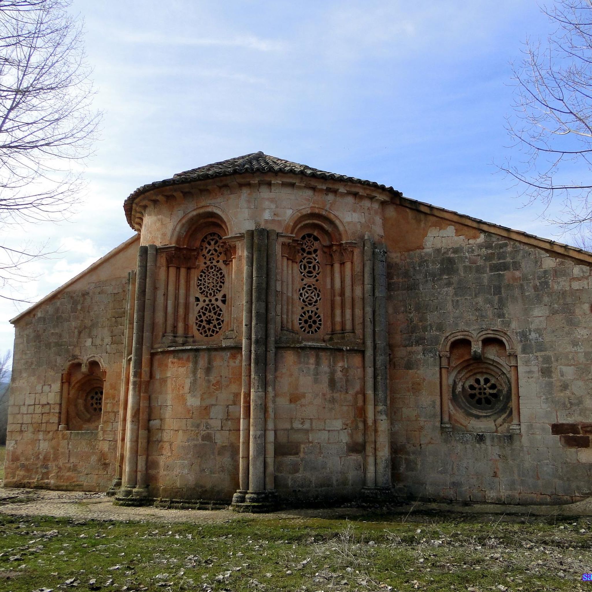
Beautiful town in the North of Guadalajara with a beautiful and valuable Romanesque Church.
1
0
Beautiful and quiet town of Architecture between Negra and Dorada. With the famous Pera Galena River (Pelagallinas), with very cool waters in summer. You can start routes to La Junta de los Ríos with the Bornova, Climb the Alto Rey or head towards the Cueva del Oso. In any case you can enjoy Great Tranquility.
1
0
Nature in Vena. Extraordinary landscape in everything around. Possibility of taking various routes, circular or online, with different origins and destinations.
1
0

One of the starting points of the Alto Rey mountain trail, the small rural town of Prádena de Atienza is a unique place to visit. I love the small local stone houses, typical of the mountain villages in this area.
1
0
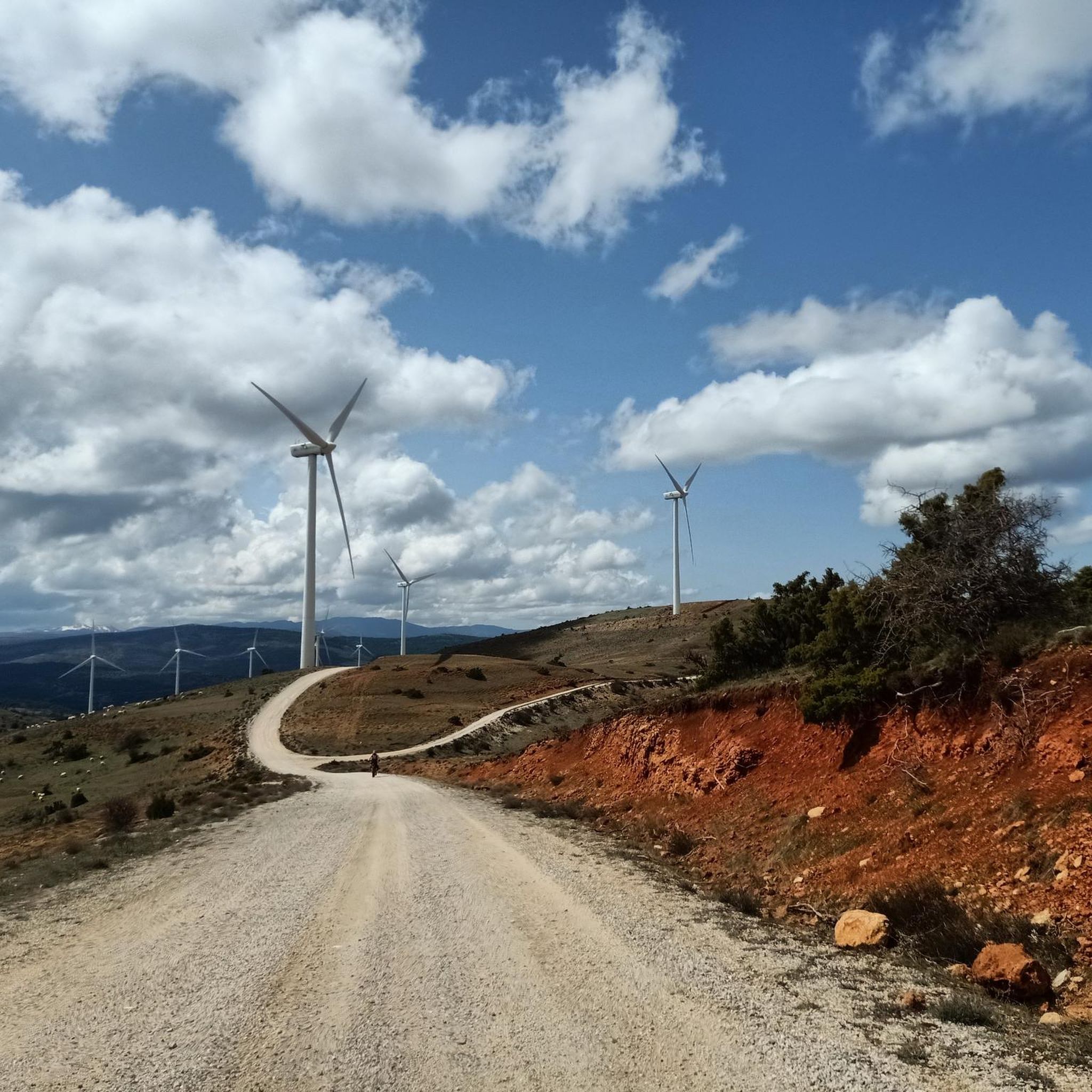
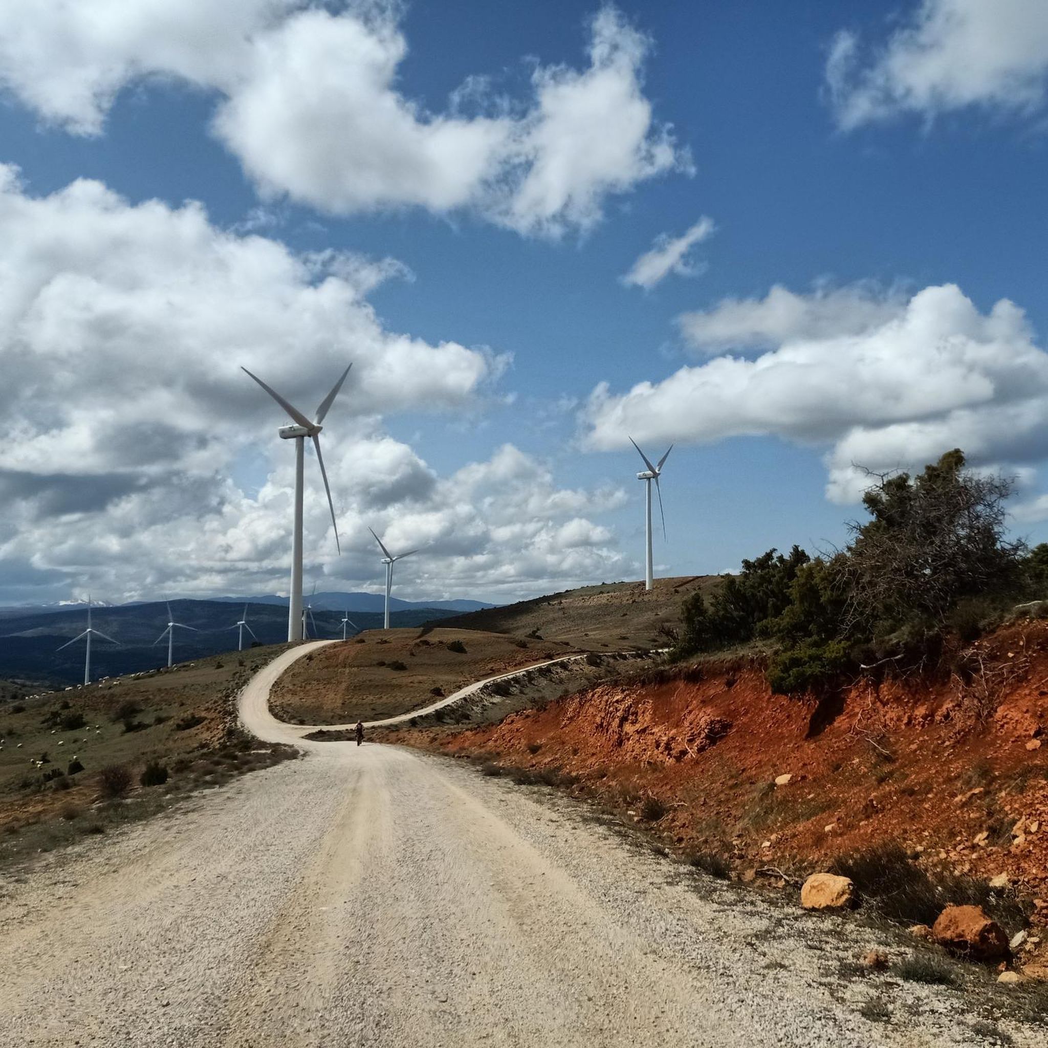
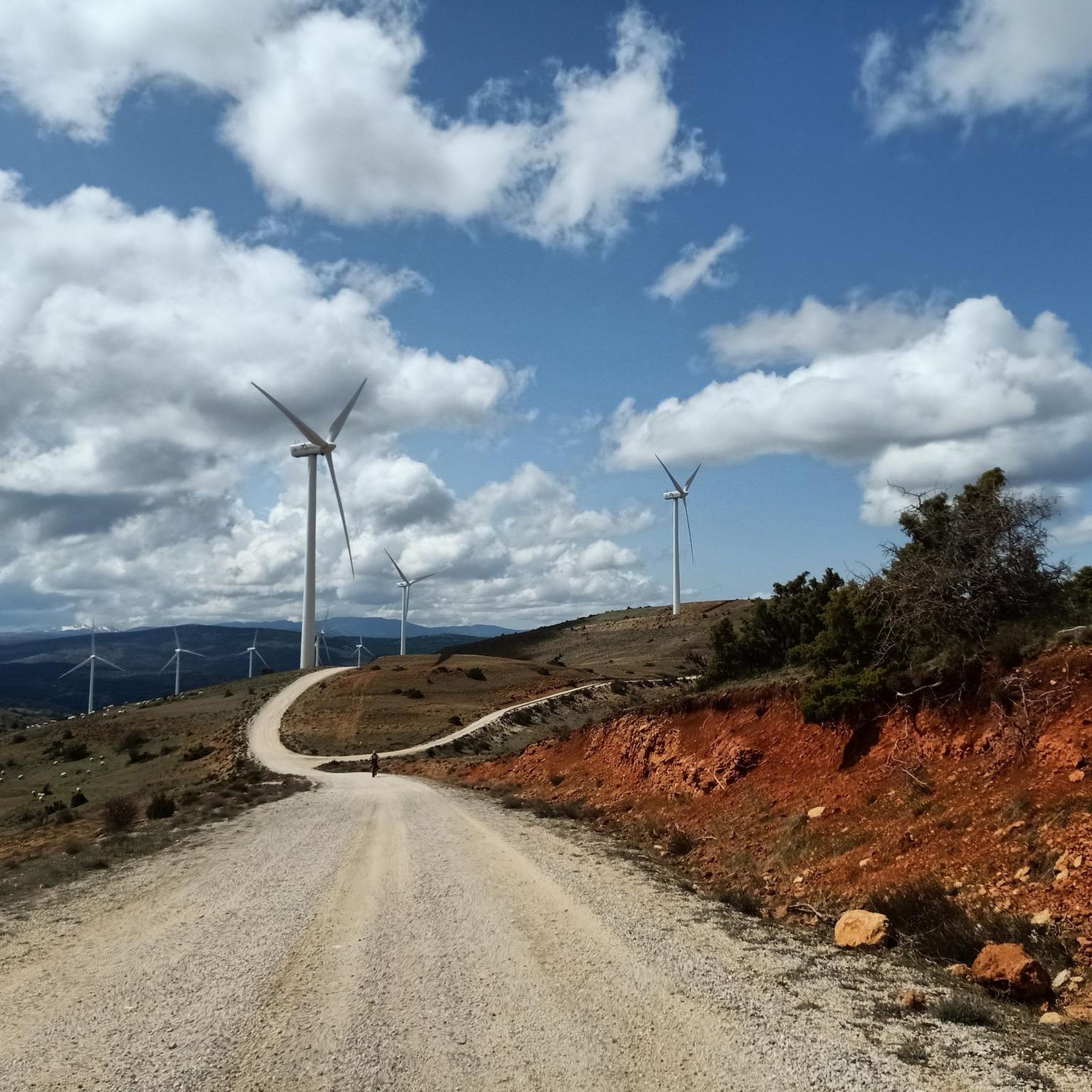
Campisábalos is a remote rural town, with a special 12th century monument of the church of San Bartolomé. The landscape of the green tops of the surrounding hills is covered with wind farms.
1
0

Mountain of the Central System located in the homonymous mountain range, to the north-northwest of the province of Guadalajara. Its summit is a succession of small slopes aligned along 3.5 km. At its top is the hermitage of Santo Alto Rey, the object of a religious procession on the first Saturday of September from the towns that are on its slopes, as well as a military station at its western end and four Retevisión antennas next to the hermitage.
2
0
Small mountain town in the province of Guadalajara irrigated by the waters of the Pelagallinas. The houses follow a traditional architecture of the Ocejón skirt known as Arquitectura Negra
1
0
Cave tucked inside a rocky outcrop where legend has it that the great Cid Campeador took refuge one night.
2
0
Frequently Asked Questions
How many running routes are available around Albendiego?
There are 5 dedicated running routes around Albendiego listed in this guide. These routes offer a variety of experiences across the region's mountainous and rugged landscapes.
What kind of terrain can I expect on the jogging trails in Albendiego?
The terrain around Albendiego is quite varied, ranging from mostly paved surfaces with minimal elevation gain to more challenging, rugged paths with significant climbs. This mountainous landscape provides diverse options for different fitness levels.
Are there any easy running routes for beginners in Albendiego?
While the region is known for its mountainous terrain, there are moderate options suitable for those with good fitness. For example, the Viewpoint to the Bear Cave — trailrunning from Prádena de Atienza is a moderate 6.0-mile route with mostly paved surfaces, offering a good balance of challenge and accessibility.
Which running routes offer scenic views or points of interest?
Many routes in Albendiego offer beautiful views. The Viewpoint to the Bear Cave — trailrunning from Prádena de Atienza is known for its scenic vistas. Additionally, the Sierra de Alto Rey – Views of the Pelagallinas River loop from Prádena de Atienza provides opportunities to see the Views of the Pelagallinas River and explore the Sierra de Alto Rey area.
Are there any circular running routes in the Albendiego area?
Yes, several routes are designed as loops, perfect for a continuous run. Notable circular routes include the Running loop from Campisábalos, the Sierra de Alto Rey loop from Bustares, and the Prádena de Atienza – Sierra de Alto Rey loop from Prádena de Atienza.
What are some longer or more challenging running trails for experienced runners?
For experienced runners seeking a challenge, the region offers several difficult routes. The Sierra de Alto Rey loop from Bustares is a difficult 10.8-mile trail through mountainous terrain. Another demanding option is the Prádena de Atienza – Sierra de Alto Rey loop from Prádena de Atienza, which covers nearly 15 miles with significant elevation changes.
What natural features or landmarks can I explore while running near Albendiego?
Beyond the scenic trails, you can discover various natural features and landmarks. Highlights include the Views of the Pelagallinas River, the Source of the Arroyo de La Sandría, and the distinctive Sombrero Rock. There's also the View of Cueva del Oso (Bear Cave) which can be seen from some routes.
Are there any historical sites or cultural attractions near the running paths?
While jogging, you might encounter historical elements. The region is home to the Hermitage of Santa Coloma de Albendiego, offering a picturesque backdrop. Other nearby attractions include the Retortillo de Soria historical site and Galve de Sorbe Castle, which can be explored separately or as part of a longer outing.
What is the best time of year to go running in Albendiego?
Given Albendiego's mountainous and rugged landscape, spring and autumn generally offer the most pleasant conditions for running, with milder temperatures. Summer can be hot, especially at midday, while winter may bring colder weather and potentially challenging trail conditions at higher elevations.
What is the average length of running routes in Albendiego?
The running routes around Albendiego vary significantly in length. You can find moderate paths like the Viewpoint to the Bear Cave — trailrunning from Prádena de Atienza at 6.0 miles (9.6 km), up to more challenging routes like the Sierra de Alto Rey – Views of the Pelagallinas River loop from Prádena de Atienza, which is approximately 14.5 miles (23.4 km) long.
What do other runners say about the trails in Albendiego?
The komoot community has actively explored the trails around Albendiego, with over 40 runners using the platform to discover the region's varied terrain. Users frequently highlight the diverse landscapes and the rewarding challenge of the mountainous routes.
Most popular routes around Albendiego
Most popular attractions around Albendiego

Get inspired with the komoot mobile app


Explore more
Browse the best Running Trails & Routes in other regions.
